

Village Coatlán del Río, Morelos Municipality of Coatlán del Río Southern Morelos
"Place of many coyotes", 3.5 km from Coatlán del Río: Santa Rosa ex-hacienda, La Toma dam and jaripeo rodeos on 24 June.
From Taxco: 50 min by car (45 km by road) How to get there ↓
Near here
See everything nearby ↓


Plan your visit to Cocoyotla
Where to stay near Cocoyotla
Compare hotels, posadas and guest houses in Cocoyotla.
Tours to Cocoyotla
Day trips and guided outings from Xochitepec often include Cocoyotla; with a local guide you can get there without a car.
 Tours from Taxco
Taxco and Cuernavaca Tour from CDMX
★ 4.5 (11) · From US$61
How to get to Cocoyotla
- From Taxco: about 50 min by road (~45 km)
- Nearest airport: Toluca (TLC), 1 h 59 min by car to Xochitepec
Links open a partner site. We may earn a commission if you book, at no cost to you.
Tours from Taxco, near Cocoyotla


Tours, prices and ratings from Viator, checked weekly. We may earn a commission if you book.
About Cocoyotla
The name is Nahuatl: cocoyotl, the plural of coyote, plus tlan, a place of abundance. Wikipedia, citing INEGI, renders it as "place where coyotes abound". Today it is a locality in the municipality of Coatlán del Río with 1,333 residents (2020), at roughly 1,030 to 1,060 metres depending on the source, and 3.5 km from the municipal seat.
Its population has been remarkably steady. It went from 340 people in 1900 to 933 in 1950 and peaked in 1970 at 1,632; since then it has slipped gradually to 1,399 in 2000, 1,376 in 2010 and 1,333 in 2020. That is the opposite of the villages around Cuernavaca: here people are not arriving, if anything they stay or leave.
English Wikipedia's article on Coatlán del Río lists the Santa Rosa ex-hacienda and chapel in Cocoyotla. It also names the local water: the Chalma river crosses the municipality through Colonia Morelos, Cocoyotla and Coatlán, and Cocoyotla has a dam called La Toma plus a smaller one that feeds the Agua Salada stream. The municipal festival calendar includes Cocoyotla on 24 June (St John the Baptist, with jaripeo rodeos) and from 30 September to 5 October, with a parade and jaripeos for the birthday of José María Morelos.
How to get to Cocoyotla
Drive from Taxco: 50 min, 45 km
Cocoyotla lies in south-western Morelos, about 3.5 km from Coatlán del Río and some 29 km in a straight line from Cuernavaca; Wikipedia gives 65 km by road from Cuernavaca to Coatlán del Río. The usual route leaves Cuernavaca on the Autopista del Sol (95D) as far as Alpuyeca, then takes Mexico 166 toward the Cacahuamilpa Caves; OpenStreetMap shows that same road (Alpuyeca-Grutas de Cacahuamilpa) running through Cocoyotla as Avenida Hidalgo. The paved state road MOR 185 to San Andrés Nicolás Bravo branches off there. Expect roughly 1 to 1 hr 15 min by car from Cuernavaca (approximate). Xochitepec, the nearest pueblo on the list, is about 16 km in a straight line. We found no named bus line; ask in Coatlán del Río.
Directions to Cocoyotla on Google Maps
Distances are in a straight line; the road is usually longer.
Links open a partner site. We may earn a commission if you book, at no cost to you.
From the nearest cities to Cocoyotla
- Taxco · 45 km by road, 50 min
- Cuernavaca · 51 km by road, 1 h
- Iguala · 84 km by road, 1 h 20 min
Drive times by road from OpenStreetMap, without traffic or stops. Times marked ~ are estimated from the straight-line distance.
Before you go to Cocoyotla: hours, prices and tips
- Best season
- Festivals: 24 June (St John the Baptist, jaripeos) and 30 September to 5 October (Morelos's birthday, parade and jaripeos). Wikipedia, Coatlán del Río (festival calendar) · checked Oct 2026
Hours and prices change, especially around holidays. Each fact links to where we checked it.
Visiting Cocoyotla: what to see and do
Santa Rosa ex-hacienda and chapel
La Toma dam, on the Chalma river
The small dam that feeds the Agua Salada stream
Jaripeo rodeos for St John the Baptist (24 June)
Celebrations for Morelos's birthday, with parade and jaripeos (30 September to 5 October)
Plan your trip
Places to stay in Cocoyotla
Compare hotels, posadas, and rentals in and around Cocoyotla.
Tours & activities
Day trips and guided outings from Xochitepec often include Cocoyotla; with a local guide you can get there without a car.
Rental cars
Pick up a car at TLC (Toluca): about 1 h 59 min by road to Xochitepec, then 16 km more to Cocoyotla, on your own schedule.
Flights
The nearest airport with scheduled flights is Toluca (TLC), about 1 h 59 min by road from Xochitepec, the base for Cocoyotla.
Mobile data
Signal can drop away from Xochitepec: download a map of the way to Cocoyotla before you set out, or carry an eSIM with data.
Links open a partner site. We may earn a commission if you book, at no cost to you.
When to go to Cocoyotla warm
Cocoyotla shares the climate of Xochitepec, 16 km away. The best months to visit are January, February, November, and December.
See the month-by-month climate of Xochitepec
Weather in Cocoyotla now and the next 7 days
Live forecast from Open-Meteo. Chance of rain is the day's highest.
The closest Pueblo Mágico: Xochitepec

Xochitepec is the Pueblo Mágico closest to Cocoyotla, with places to stay, food, and more to see.
Also close to
- Malinalco · Estado de México · 22 km away
- Tonatico · Estado de México · 24 km away
- Ixtapan de la Sal · Estado de México · 26 km away
- Taxco · Guerrero · 27 km away
- Tlaltizapán · Morelos · 33 km away
Closest to Cocoyotla
-
Coatlán del Río · Village · 2 km away
-
Tilancingo · Village · 2 km away
-
Chavarría · Village · 4 km away
-
Tetecala · Town · 6 km away
-
Michapa · Village · 7 km away
-
Apancingo · Village · 8 km away
-
El Florido · Village · 9 km away
-
Benito Juárez · Village · 10 km away
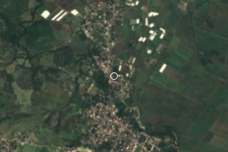
Near Cocoyotla


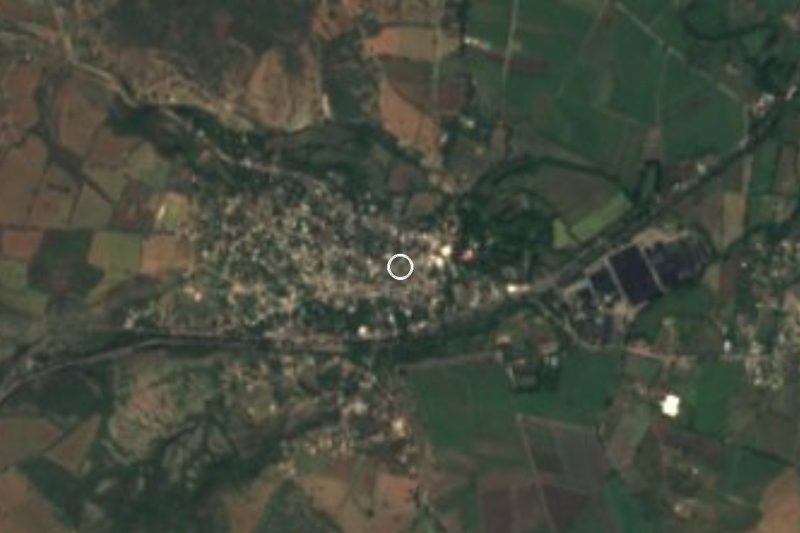

Drive times by road from OpenStreetMap, without traffic. Times marked ~ are estimated from the straight-line distance.
Location from OpenStreetMap. Written by Puebloteca.