Village Miacatlán, Morelos Municipality of Miacatlán Southern Morelos
Municipal seat in western Morelos at about 1,000 m, with its Santo Tomás parish and two lagoons close by.
From Cuernavaca: 45 min by car (38 km by road) How to get there ↓
Near here
See everything nearby ↓


Plan your visit to Miacatlán
Where to stay near Miacatlán
Compare hotels, posadas and guest houses in Miacatlán.
Tours to Miacatlán
Day trips and guided outings from Xochitepec often include Miacatlán; with a local guide you can get there without a car.
 Tours from Cuernavaca
3hr Cooking Class in Cuernavaca 8 Recipes and Bottomless Drinks
From US$59
How to get to Miacatlán
- From Cuernavaca: about 45 min by road (~38 km)
- Nearest airport: Toluca (TLC), 1 h 59 min by car to Xochitepec
Links open a partner site. We may earn a commission if you book, at no cost to you.
Tours from Cuernavaca, near Miacatlán


Tours, prices and ratings from Viator, checked weekly. We may earn a commission if you book.
About Miacatlán
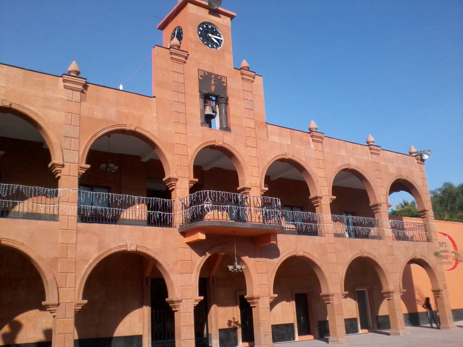
Miacatlán is the seat of the municipality of the same name in western Morelos, at about 1,005 m above sea level. The 2020 census counted 7,466 people, which makes it more a sizeable town than a hamlet: it has a municipal palace with terracotta-coloured arcades, a plaza, shops, and the parish of Santo Tomás Apóstol, yellow outside and white inside.
The name is Nahuatl and is usually rendered as place of abundant reeds for arrows, probably a reference to the lagoons of Coatetelco and El Rodeo in the same municipality. Before the conquest the place paid tribute to Xochicalco, then passed to the lordship of Cuauhnáhuac and to Mexica rule. In colonial times it was San Francisco Miacatlán, part of the Marquesado del Valle de Oaxaca. It became a municipality in 1869, when Morelos was made a state, and during the Revolution General Pedro Ojeda took refuge at the Hacienda de Miacatlán after the 1914 siege of Cuernavaca.
The big fiesta is Santo Tomás Apóstol on 21 December, with fireworks, fairground rides and bullfights, and the town has four brass bands that play at the fiestas of Santo Tomás, Molina, La Sumaya and Santa Cecilia. The municipality makes ceramics, and regional food includes goat and mutton barbacoa and pork cochinita. From here it is an easy hop to the El Rodeo lagoon, about 5 km away, to the lagoon and archaeological site of Coatetelco, and to Xochicalco, about 8 km off.
How to get to Miacatlán
Drive from Cuernavaca: 45 min, 38 km
By car from Mexico City (about 132 km): take the 95D Mexico-Cuernavaca toll road (or free Highway 95) and keep going toward Acapulco as far as Alpuyeca, on the south side of Cuernavaca. The turn-off for Miacatlán is there; it is the same road used for Xochicalco, which INAH's directions place about 8 km before the town. From central Cuernavaca it is roughly 40 to 44 km (about 45 minutes to an hour depending on traffic on the southern exit).
By public transport: buses run from Terminal Sur (Taxqueña) in Mexico City to Cuernavaca, and from there Pullman de Morelos buses serve Alpuyeca along the Acapulco corridor; at Alpuyeca you take local transport on to Miacatlán (check departures and stops at the Cuernavaca terminal, as we found no published timetable). From Xochitepec, the nearest pueblo, it is about 6 km in a straight line, roughly 10 minutes by car.
Directions to Miacatlán on Google Maps
Distances are in a straight line; the road is usually longer.
Links open a partner site. We may earn a commission if you book, at no cost to you.
From the nearest cities to Miacatlán
- Cuernavaca · 38 km by road, 45 min
- Taxco · 62 km by road, 1 h 10 min
- Iguala · 81 km by road, 1 h 20 min
Drive times by road from OpenStreetMap, without traffic or stops. Times marked ~ are estimated from the straight-line distance.
Before you go to Miacatlán: hours, prices and tips
- Best season
- Fiesta of Santo Tomás Apóstol on 21 December, with fireworks, rides and bullfights; a religious festival is also held on 11 February. Wikipedia · checked Oct 2026
Hours and prices change, especially around holidays. Each fact links to where we checked it.
Visiting Miacatlán: what to see and do
Walk the plaza and the terracotta arcades of the municipal palace, with its clock tower.
Step into the parish of Santo Tomás Apóstol, yellow outside and white inside.
Visit the chapel of the Alma de la Virgen.
Go to the El Rodeo lagoon (about 5 km), with lakeside restaurants and birdlife.
Continue to Coatetelco for its lagoon and the archaeological site with a small museum.
Climb to Xochicalco, about 8 km away, the nearest major ruins.
Try goat or mutton barbacoa and cochinita at the town's eateries.
Plan your trip
Places to stay in Miacatlán
Compare hotels, posadas, and rentals in and around Miacatlán.
Tours & activities
Day trips and guided outings from Xochitepec often include Miacatlán; with a local guide you can get there without a car.
Rental cars
Pick up a car at TLC (Toluca): about 1 h 59 min by road to Xochitepec, then 6 km more to Miacatlán, on your own schedule.
Flights
The nearest airport with scheduled flights is Toluca (TLC), about 1 h 59 min by road from Xochitepec, the base for Miacatlán.
Mobile data
Signal can drop away from Xochitepec: download a map of the way to Miacatlán before you set out, or carry an eSIM with data.
Links open a partner site. We may earn a commission if you book, at no cost to you.
When to go to Miacatlán warm
Miacatlán shares the climate of Xochitepec, 6 km away. The best months to visit are January, February, November, and December.
See the month-by-month climate of Xochitepec
Weather in Miacatlán now and the next 7 days
Live forecast from Open-Meteo. Chance of rain is the day's highest.
The closest Pueblo Mágico: Xochitepec

Xochitepec is the Pueblo Mágico closest to Miacatlán, with places to stay, food, and more to see.
Also close to
- Tlaltizapán · Morelos · 25 km away
- Malinalco · Estado de México · 25 km away
- Tonatico · Estado de México · 33 km away
- Ixtapan de la Sal · Estado de México · 34 km away
- Taxco · Guerrero · 35 km away
Closest to Miacatlán
-
El Florido · Village · 4 km away
-
Laguna El Rodeo · Lake · 4 km away
-
Mazatepec · Town · 5 km away
-
Tetecala · Town · 6 km away
-
Zona Arqueológica de Coatetelco · Archaeological site · 6 km away
-
Coatlán del Río · Village · 8 km away
-
Xochicalco · Archaeological site · 8 km away
-
Cocoyotla · Village · 10 km away


Near Miacatlán


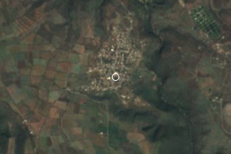

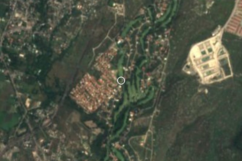

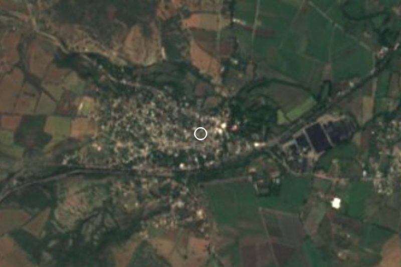


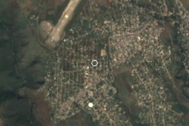
Drive times by road from OpenStreetMap, without traffic. Times marked ~ are estimated from the straight-line distance.
Location from OpenStreetMap. Written by Puebloteca.