Village Temixco, Morelos Municipality of Temixco Southern Morelos
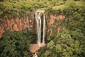
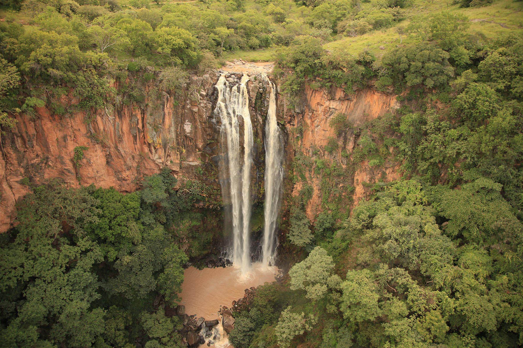
Nahua community in Temixco at 1,480 m, where Nahuatl is still the everyday language; ravines, the Devil's Cave and a waterfall.
From Cuernavaca: 40 min by car (35 km by road) How to get there ↓
Near here
See everything nearby ↓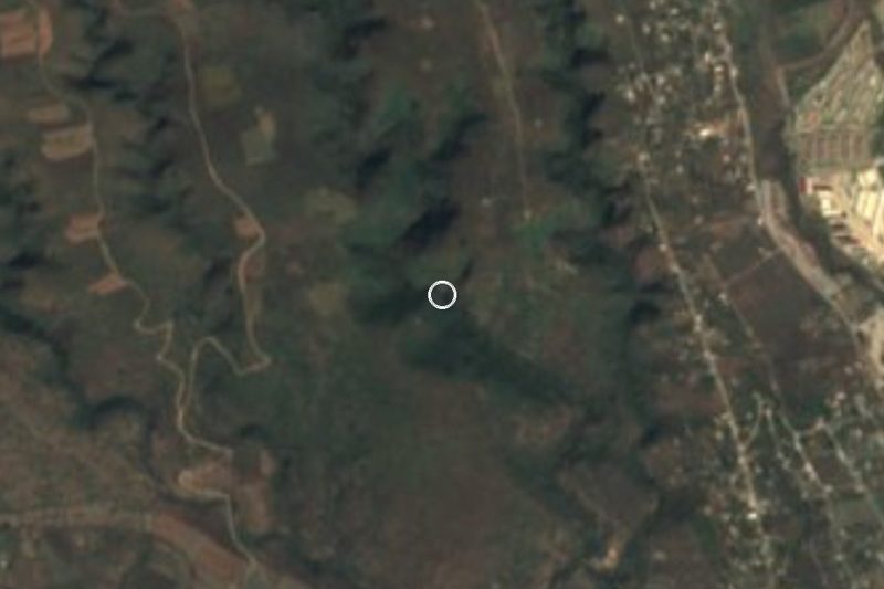


Plan your visit to Cuentepec
Where to stay near Cuentepec
Compare hotels, posadas and guest houses in Cuentepec.
Tours to Cuentepec
Day trips and guided outings from Xochitepec often include Cuentepec; with a local guide you can get there without a car.
 Tours from Cuernavaca
3hr Cooking Class in Cuernavaca 8 Recipes and Bottomless Drinks
From US$59
How to get to Cuentepec
- From Cuernavaca: about 40 min by road (~35 km)
- Nearest airport: Toluca (TLC), 1 h 59 min by car to Xochitepec
Links open a partner site. We may earn a commission if you book, at no cost to you.
Tours from Cuernavaca, near Cuentepec


Tours, prices and ratings from Viator, checked weekly. We may earn a commission if you book.
About Cuentepec
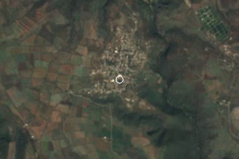
San Sebastián Cuentepec is the only community in Morelos where Nahuatl is still spoken as an everyday language. The 2020 census found 4,001 people living here at 1,480 metres, and 99.4 per cent identify as Indigenous; 88 per cent speak an Indigenous language. It is the second largest locality in the municipality of Temixco, though it sits about 10 km west of the seat, high above the ravines that drop toward the Tembembe River.
The village is known for its traditional Nahua pottery, for the tamales and green mole cooked for fiestas, and for the church of San Sebastián Mártir, whose saint's day on 20 January brings a band, fireworks and a night-time castillo. Visitors who plan ahead can ask for a basket-weaving demonstration or a home-cooked meal.
Beyond the houses the landscape is dry deciduous forest cut by gorges. Trails lead to the Tembembe River, to the Tecolotlán cave that everyone calls the Devil's Cave, and to the Bedolla waterfall, a drop of about 20 m that one local operator describes as a walk of roughly 9 km over rocks and water crossings. There is also a private adventure park with zip lines, rappelling and caving. Xochicalco, a World Heritage Site since 1999, is close by on the same road.
How to get to Cuentepec
Drive from Cuernavaca: 40 min, 35 km
By car from Mexico City: take the Mexico-Cuernavaca toll road (95D) toward Acapulco and exit at Alpuyeca. Follow the signs for Xochicalco; past the archaeological site the road forks, and the left branch goes to Cuentepec (the right to Tetlama). From Cuernavaca it is about 12 km in a straight line, roughly 15 to 30 minutes depending on traffic and the road (approx.); from Xochitepec about 10 to 25 km depending on the route (approx.).
By public transport: in Cuernavaca the "Lasser Cuentepec" route leaves from the Adolfo López Mateos market and goes to the village; we found no frequencies or fares, so confirm them on the spot. From Mexico City, reach Cuernavaca first (Terminal Sur Taxqueña) and then take that route. For the ravines, caves and waterfall, hire a guide in the community.
Directions to Cuentepec on Google Maps
Distances are in a straight line; the road is usually longer.
Links open a partner site. We may earn a commission if you book, at no cost to you.
From the nearest cities to Cuentepec
- Cuernavaca · 35 km by road, 40 min
- Cuautla · 91 km by road, 1 h 20 min
- Taxco · 79 km by road, 1 h 30 min
Drive times by road from OpenStreetMap, without traffic or stops. Times marked ~ are estimated from the straight-line distance.
Before you go to Cuentepec: hours, prices and tips
- Best season
- The feast of San Sebastián Mártir is on 20 January, with a band, fireworks and a night-time castillo; the women of the village cook mole for guests. INAH, El Tlacuache (Jan 2023) · checked Oct 2026
- What to bring
- Water, sunscreen, a hat and a light backpack; hire a local guide and confirm what is included before entering a ravine. México Desconocido · checked Oct 2026
Hours and prices change, especially around holidays. Each fact links to where we checked it.
Visiting Cuentepec: what to see and do
Step into the church of San Sebastián and walk the plaza; the saint's day is 20 January.
Ask about the potters and the Nahua ceramics made in the village.
Walk the trails toward the Tembembe River through ravines of dry forest.
Visit the Tecolotlán cave, the Devil's Cave, with a local guide.
Follow the trail to the Bedolla waterfall, a drop of about 20 m.
Try rappelling, zip lines or caving at the adventure park.
Stop at Xochicalco, a short way along the same road.
Plan your trip
Places to stay in Cuentepec
Compare hotels, posadas, and rentals in and around Cuentepec.
Tours & activities
Day trips and guided outings from Xochitepec often include Cuentepec; with a local guide you can get there without a car.
Rental cars
Pick up a car at TLC (Toluca): about 1 h 59 min by road to Xochitepec, then 7 km more to Cuentepec, on your own schedule.
Flights
The nearest airport with scheduled flights is Toluca (TLC), about 1 h 59 min by road from Xochitepec, the base for Cuentepec.
Mobile data
Signal can drop away from Xochitepec: download a map of the way to Cuentepec before you set out, or carry an eSIM with data.
Links open a partner site. We may earn a commission if you book, at no cost to you.
When to go to Cuentepec warm
Cuentepec shares the climate of Xochitepec, 7 km away. The best months to visit are January, February, November, and December.
See the month-by-month climate of Xochitepec
Weather in Cuentepec now and the next 7 days
Live forecast from Open-Meteo. Chance of rain is the day's highest.
The closest Pueblo Mágico: Xochitepec

Xochitepec is the Pueblo Mágico closest to Cuentepec, with places to stay, food, and more to see.
Also close to
- Malinalco · Estado de México · 21 km away
- Tlaltizapán · Morelos · 27 km away
- Tepoztlán · Morelos · 28 km away
- Ixtapan de la Sal · Estado de México · 37 km away
- Tonatico · Estado de México · 37 km away
Closest to Cuentepec
-
Cascada de Bedoya · Waterfall · 5 km away
-
Temixco · Town · 5 km away
-
San Agustín Tetlama · Village · 6 km away
-
Eterna Primavera · Village · 7 km away
-
Punta Verde · Village · 7 km away
-
Xochicalco · Archaeological site · 7 km away
-
Benito Juárez (La Monera) · Village · 8 km away
-
José María Morelos y Pavón · Village · 8 km away
Near Cuentepec





Drive times by road from OpenStreetMap, without traffic. Times marked ~ are estimated from the straight-line distance.
Location from OpenStreetMap. Written by Puebloteca.