Village Cuernavaca, Morelos Municipality of Cuernavaca Southern Morelos
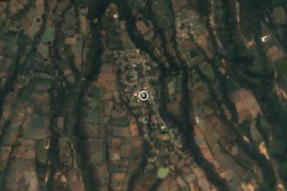
Avocado village at 1,938 m in the hills west of Cuernavaca, set between ravines; it grew up around the time of the Revolution.
From Cuernavaca: 25 min by car (18 km by road) How to get there ↓
Near here
See everything nearby ↓


Plan your visit to Buenavista del Monte
Where to stay near Buenavista del Monte
Compare hotels, posadas and guest houses in Buenavista del Monte.
Tours to Buenavista del Monte
Day trips and guided outings from Xochitepec often include Buenavista del Monte; with a local guide you can get there without a car.
 Tours from Cuernavaca
3hr Cooking Class in Cuernavaca 8 Recipes and Bottomless Drinks
From US$59
How to get to Buenavista del Monte
- From Cuernavaca: about 25 min by road (~18 km)
- Nearest airport: Toluca (TLC), 1 h 59 min by car to Xochitepec
Links open a partner site. We may earn a commission if you book, at no cost to you.
Tours from Cuernavaca, near Buenavista del Monte


Tours, prices and ratings from Viator, checked weekly. We may earn a commission if you book.
About Buenavista del Monte
High in the hills west of Cuernavaca, at 1,938 m, Buenavista del Monte feels closer to a village of the State of Mexico's sierra than to the city it belongs to. According to INAH's Morelos centre it sits on the high, flat part of a ridge bounded by the ravines of El Sabino, Cocotzin, El Tejocote and El Túnel, and it keeps up maize fields, cattle and, above all, avocado orchards. Its neighbours are Ahuatenco, Ocuilan and Mexicapan across the line in the State of Mexico, and El Cebadal, Cuentepec and Tetlama in Morelos.
The settlement is young. A 2017 Diario de Morelos piece records that early in the twentieth century there were only a few cattle ranchers, that about ten houses stood here in 1940, and that families then arrived from the State of Mexico and Guanajuato, especially from Pénjamo. Piped water came around 1975; before 1976 people lit their homes with pine torches and kerosene lamps, and many houses are still adobe. INEGI counts 839 people in 2005, 910 in 2010 and 1,135 in 2020.
Avocados shape local life. In 2016 Cuernavaca's city government launched an Aguacatour with guided visits in groups of up to ten and workshops on ranch cheese and village bread; the first stage sold 500 tonnes of fruit. The village also keeps its own alarm, the Riel, a series of strikes that carries about 3 km and calls people together. There are no hotels in the village; the closest are around 6 km away.
How to get to Buenavista del Monte
Drive from Cuernavaca: 25 min, 18 km
Buenavista del Monte is about 8 km west of central Cuernavaca in a straight line, but longer by road: Diario de Morelos places it about 12 km from the Ruiz Cortines district on the city's western edge, and the road climbs into the hills (roughly 30 to 40 minutes from downtown Cuernavaca). Come by car or taxi from Cuernavaca; the village's main street is Avenida 16 de Septiembre, and the road known as Subida a Chalma runs through the area. From Mexico City the simplest plan is to go to Cuernavaca (Pullman de Morelos buses from Terminal Sur Taxqueña to the Casino station) and take a taxi from there. We found no published public transport to the village and no timetable; ask in Cuernavaca about colectivos toward Ruiz Cortines. Xochitepec, the nearest pueblo on our list, is about 17 km away in a straight line.
Directions to Buenavista del Monte on Google Maps
Distances are in a straight line; the road is usually longer.
Links open a partner site. We may earn a commission if you book, at no cost to you.
From the nearest cities to Buenavista del Monte
- Cuernavaca · 18 km by road, 25 min
- Cuautla · 67 km by road, 1 h
- Mexico City · 87 km by road, 1 h 30 min
Drive times by road from OpenStreetMap, without traffic or stops. Times marked ~ are estimated from the straight-line distance.
Visiting Buenavista del Monte: what to see and do
Walk among the avocado orchards that ring the village.
Look into the El Sabino and Cocotzin ravines from the rim.
Buy avocados and ranch cheese straight from growers.
Stroll the adobe streets and see the horses and cattle.
Ask at the ayudantía whether avocado tours run.
Plan your trip
Places to stay in Buenavista del Monte
Compare hotels, posadas, and rentals in and around Buenavista del Monte.
Tours & activities
Day trips and guided outings from Xochitepec often include Buenavista del Monte; with a local guide you can get there without a car.
Rental cars
Pick up a car at TLC (Toluca): about 1 h 59 min by road to Xochitepec, then 17 km more to Buenavista del Monte, on your own schedule.
Flights
The nearest airport with scheduled flights is Toluca (TLC), about 1 h 59 min by road from Xochitepec, the base for Buenavista del Monte.
Mobile data
Signal can drop away from Xochitepec: download a map of the way to Buenavista del Monte before you set out, or carry an eSIM with data.
Links open a partner site. We may earn a commission if you book, at no cost to you.
When to go to Buenavista del Monte warm
Buenavista del Monte shares the climate of Xochitepec, 17 km away. The best months to visit are January, February, November, and December.
See the month-by-month climate of Xochitepec
Weather in Buenavista del Monte now and the next 7 days
Live forecast from Open-Meteo. Chance of rain is the day's highest.
The closest Pueblo Mágico: Xochitepec

Xochitepec is the Pueblo Mágico closest to Buenavista del Monte, with places to stay, food, and more to see.
Also close to
- Malinalco · Estado de México · 20 km away
- Tepoztlán · Morelos · 22 km away
- Tlaltizapán · Morelos · 34 km away
- Tlayacapan · Morelos · 35 km away
- Ixtapan de la Sal · Estado de México · 40 km away
Closest to Buenavista del Monte
-
Capilla de los Reyes Magos · Landmark · 6 km away
-
Tetela del Monte · Village · 6 km away
-
Estadio Centenario · Landmark · 7 km away
-
Salto de San Antón · Waterfall · 7 km away
-
Catedral de Cuernavaca · Landmark · 8 km away
-
Chamilpa · Village · 8 km away
-
Cuernavaca · City · 8 km away
-
Jardín Borda · Landmark · 8 km away


Near Buenavista del Monte


Drive times by road from OpenStreetMap, without traffic. Times marked ~ are estimated from the straight-line distance.
Location from OpenStreetMap. Written by Puebloteca.