Landmark Cuernavaca, Morelos Municipality of Cuernavaca Monasteries on the slopes of Popocatépetl Northern Morelos
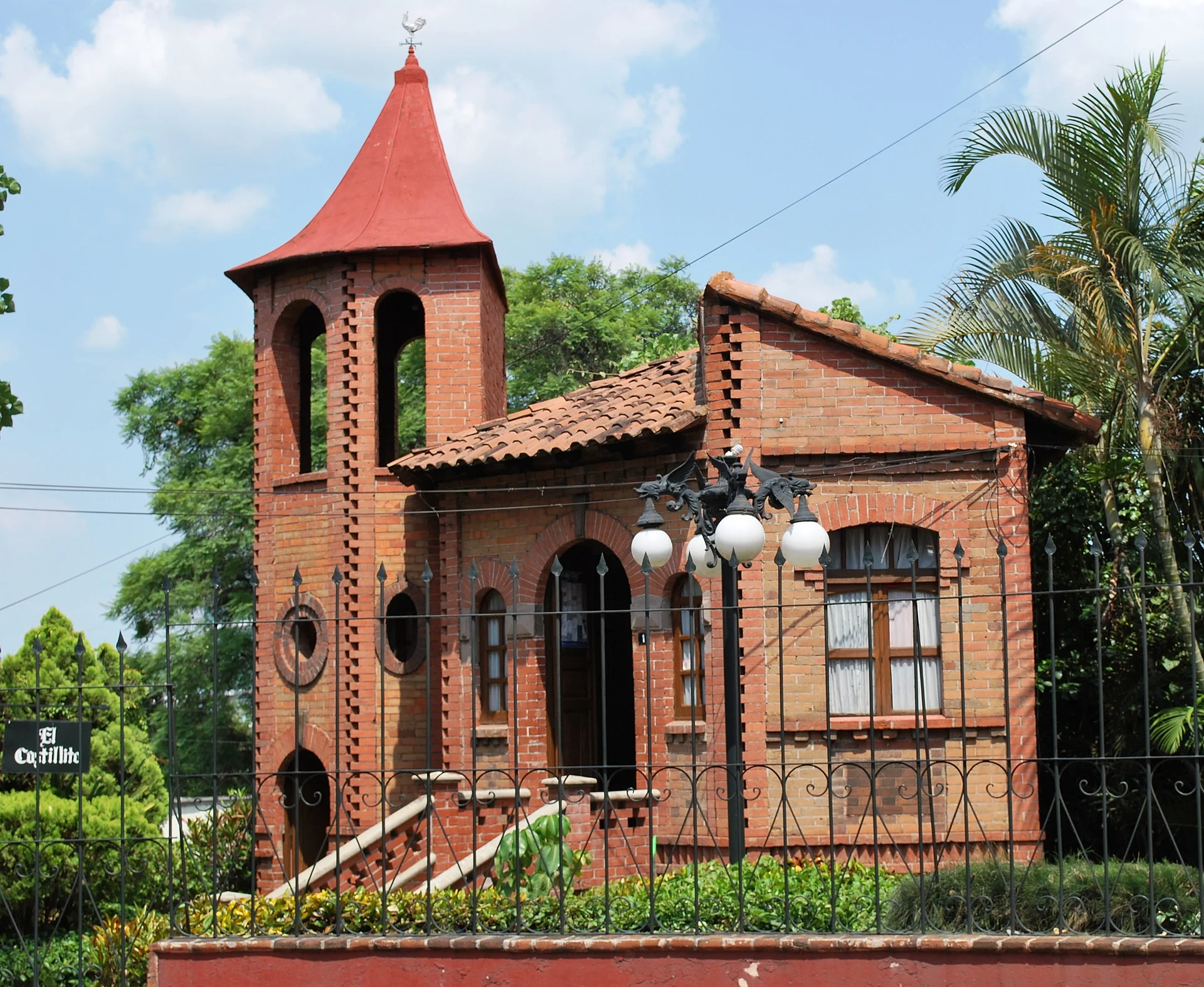
"El Castillito", an early-1900s brick house built like a little French castle, now showing old photographs of Cuernavaca.
From Cuautla: 45 min by car (52 km by road) How to get there ↓
Near here
See everything nearby ↓


Plan your visit to Museo Fotográfico de Cuernavaca
Where to stay near Museo Fotográfico de Cuernavaca
Compare hotels, posadas and guest houses in Museo Fotográfico de Cuernavaca.
Tours to Museo Fotográfico de Cuernavaca
Look for tours of the area around Tepoztlán that stop at Museo Fotográfico de Cuernavaca.
 Tours from Cuernavaca
3hr Cooking Class in Cuernavaca 8 Recipes and Bottomless Drinks
From US$59
How to get to Museo Fotográfico de Cuernavaca
- From Cuautla: about 45 min by road (~52 km)
- Nearest airport: Mexico City (MEX), 1 h 25 min by car to Tepoztlán
Links open a partner site. We may earn a commission if you book, at no cost to you.
Tours from Cuernavaca, near Museo Fotográfico de Cuernavaca


Tours, prices and ratings from Viator, checked weekly. We may earn a commission if you book.
About Museo Fotográfico de Cuernavaca
Locals call it El Castillito, the little castle, and one look explains why: a small red-brick building with a pointed turret, arched windows and an iron fence, built in imitation of a French château. It stands at Agustín Güemes Celis 1 in central Cuernavaca and has housed the city's Photographic Museum since 1986.
It went up in the early 20th century, after the park and the Porfirio Díaz bridge were built, as the home of the man who looked after the garden. The builders used compressed brick, an advanced material for the time. The house was abandoned during the Revolution; in the 1930s Governor Vicente Estrada Cajigal turned it into a residence, and in 1986 it was handed to the city's advisory council, the Consejo Consultivo de la Ciudad de Cuernavaca. With help from the city council under mayor Juan Salgado Brito it was largely restored to its original form, and the museum opened on 18 October that year.
Inside are old photographs of the city and its people from different periods, along with some furniture of the time. It is a small museum you can see quickly, and a good way to picture Cuernavaca before it sprawled. The city has announced federally funded waterproofing, interior restoration and access improvements in recent years, so check that it is open before you go.
How to get to Museo Fotográfico de Cuernavaca
Drive from Cuautla: 45 min, 52 km
The museum is at Agustín Güemes Celis 1, Colonia Centro, roughly 700-800 m north of the Jardín Juárez and the zócalo as the crow flies, a few minutes' walk from downtown. From Mexico City, Pullman de Morelos buses leave about every 20 minutes from the Terminal Central del Sur by Taxqueña metro (Line 2) and take about an hour and a quarter without traffic to the Casino de la Selva terminal, 2-3 km from the zócalo; a short taxi ride covers the rest. By car it is about 85 km on the 95D toll road from Mexico City's Periférico Sur. Tepoztlán, the nearest Pueblo Mágico, is about 16 km away as the crow flies (approx.), reached via the La Pera-Cuautla highway.
Directions to Museo Fotográfico de Cuernavaca on Google Maps
Distances are in a straight line; the road is usually longer.
Links open a partner site. We may earn a commission if you book, at no cost to you.
From the nearest cities to Museo Fotográfico de Cuernavaca
- Cuautla · 52 km by road, 45 min
- Mexico City · 73 km by road, 1 h 15 min
- Taxco · 84 km by road, 1 h 25 min
Drive times by road from OpenStreetMap, without traffic or stops. Times marked ~ are estimated from the straight-line distance.
Visiting Museo Fotográfico de Cuernavaca: what to see and do
Photograph the brick front and the pointed turret from the street.
Browse the old photographs of Cuernavaca and its people.
Notice the period furniture shown alongside the pictures.
Spot downtown buildings in the photos that are still standing.
Pair it with the Jardín Juárez and the Palacio de Cortés a few blocks south.
Plan your trip
Places to stay in Museo Fotográfico de Cuernavaca
Compare hotels, posadas, and rentals in and around Museo Fotográfico de Cuernavaca.
Tours & activities
Look for tours of the area around Tepoztlán that stop at Museo Fotográfico de Cuernavaca.
Rental cars
Pick up a car at MEX (Mexico City): about 1 h 25 min by road to Tepoztlán, then 16 km more to Museo Fotográfico de Cuernavaca, on your own schedule.
Flights
The nearest airport with scheduled flights is Mexico City (MEX), about 1 h 25 min by road from Tepoztlán, the base for Museo Fotográfico de Cuernavaca.
Mobile data
Signal can drop away from Tepoztlán: download a map of the way to Museo Fotográfico de Cuernavaca before you set out, or carry an eSIM with data.
Links open a partner site. We may earn a commission if you book, at no cost to you.
When to go to Museo Fotográfico de Cuernavaca mild
Museo Fotográfico de Cuernavaca shares the climate of Tepoztlán, 16 km away. The best months to visit are January, February, March, and December.
See the month-by-month climate of Tepoztlán
Weather in Museo Fotográfico de Cuernavaca now and the next 7 days
Live forecast from Open-Meteo. Chance of rain is the day's highest.
The closest Pueblo Mágico: Tepoztlán

Tepoztlán is the Pueblo Mágico closest to Museo Fotográfico de Cuernavaca, with places to stay, food, and more to see.
Also close to
- Xochitepec · Morelos · 17 km away
- Tlayacapan · Morelos · 27 km away
- Malinalco · Estado de México · 28 km away
- Tlaltizapán · Morelos · 29 km away
- Ixtapan de la Sal · Estado de México · 47 km away
Closest to Museo Fotográfico de Cuernavaca
-
Catedral de Cuernavaca · Landmark · 1 km away
-
Cuernavaca · City · 1 km away
-
Jardín Borda · Landmark · 1 km away
-
Jardín Juárez · Landmark · 1 km away
-
Museo Morelense de Arte Contemporáneo Juan Soriano · Landmark · 1 km away
-
Museo Morelense de Arte Popular · Landmark · 1 km away
-
Museo Robert Brady · Landmark · 1 km away
-
Palacio de Cortés · Landmark · 1 km away


Near Museo Fotográfico de Cuernavaca


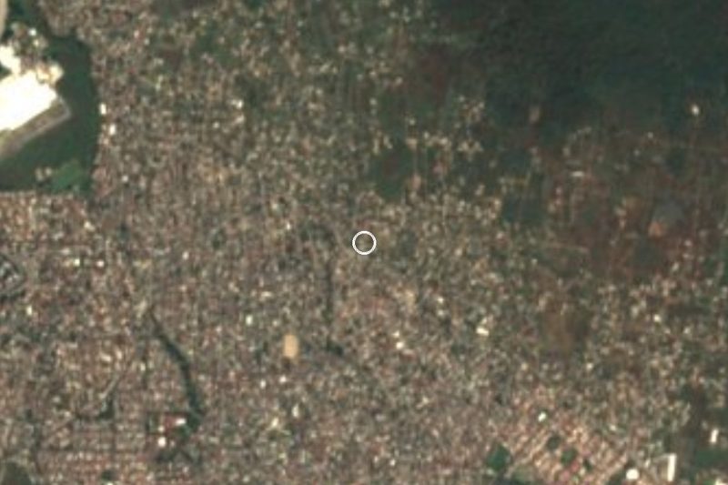
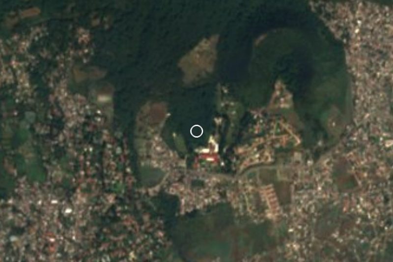

Drive times by road from OpenStreetMap, without traffic. Times marked ~ are estimated from the straight-line distance.
Location from OpenStreetMap. Written by Puebloteca.