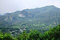
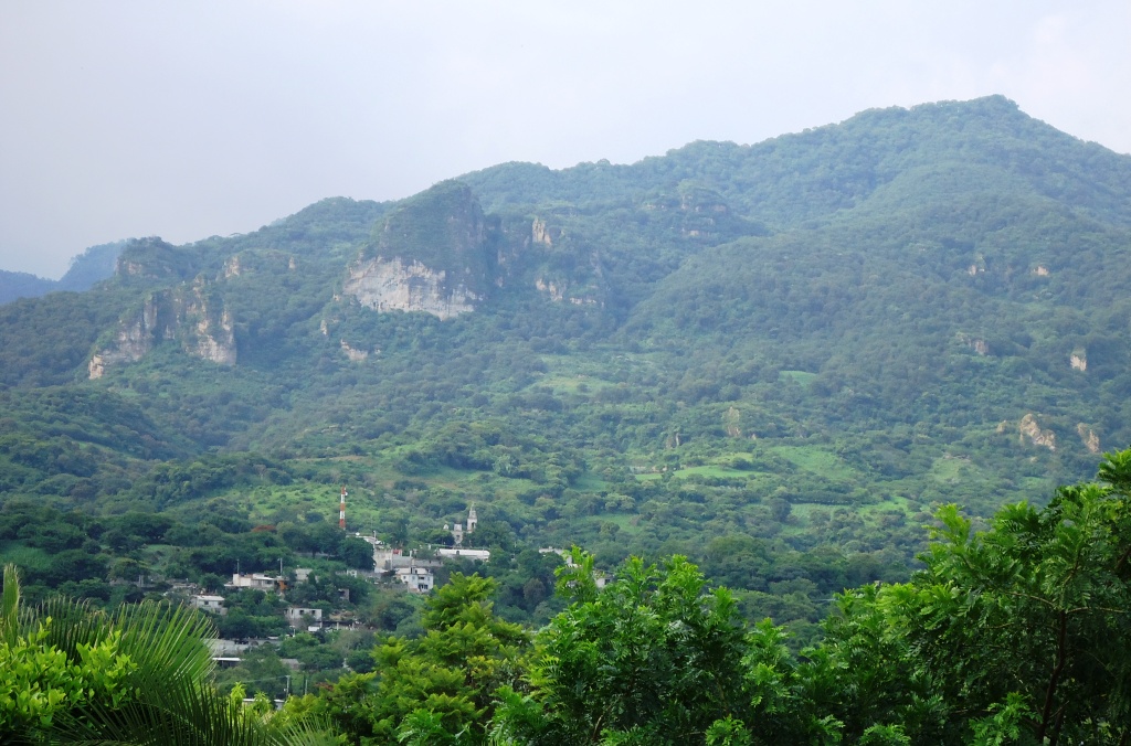
Village Miacatlán, Morelos Municipality of Miacatlán Southern Estado de México
A farming, cheese and mezcal village in Morelos's far northwest, on the state line and on the way to Malinalco and Chalma.
From Cuernavaca: 1 h by car (54 km by road) How to get there ↓
Near here
See everything nearby ↓
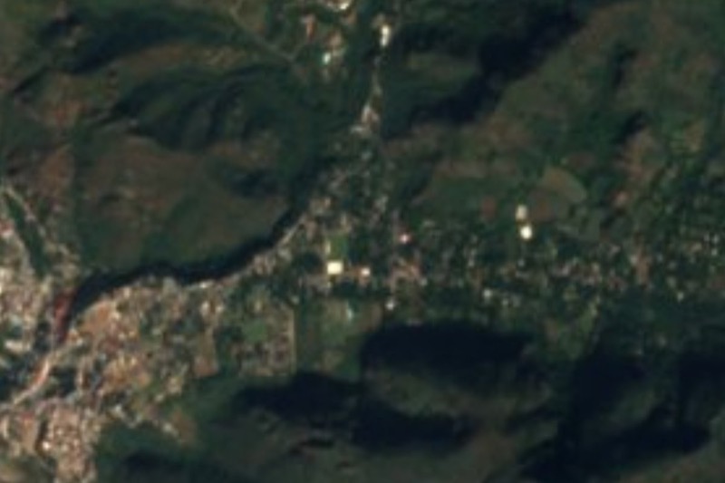


Plan your visit to Palpan de Baranda
Where to stay near Palpan de Baranda
Compare hotels, posadas and guest houses in Palpan de Baranda.
Tours to Palpan de Baranda
Day trips and guided outings from Malinalco often include Palpan de Baranda; with a local guide you can get there without a car.
 Tours from Cuernavaca
3hr Cooking Class in Cuernavaca 8 Recipes and Bottomless Drinks
From US$59
How to get to Palpan de Baranda
- From Cuernavaca: about 1 h by road (~54 km)
- Nearest airport: Toluca (TLC), 1 h 14 min by car to Malinalco
Links open a partner site. We may earn a commission if you book, at no cost to you.
Tours from Cuernavaca, near Palpan de Baranda


Tours, prices and ratings from Viator, checked weekly. We may earn a commission if you book.
About Palpan de Baranda
Palpan de Baranda sits at 1,611 metres on a plateau in the northwest corner of Morelos, so close to the State of Mexico line that two neighbouring hamlets, Casa Blanca and La Lagunita, already belong to Malinalco and Ocuilan. The 2020 census counted 913 people. Life here follows the fields: maize, sorghum and beans, cattle, and from the milk come cheese and cream. On the way in you pass the agave plots that feed the mezcal distilled in the village.
The name has several Nahuatl readings: "on the black clay", "on the sand" or "place of butterflies". The documented story begins in 1635, when the community appears as a barrio of Malinalco, Santa Cruz, under the name Pilpan, glossed as "children from outside". When Morelos became a state in 1869, Miacatlán was made a municipality with Coatetelco and Palpan de Barandas among its settlements. A second story starts here too: in the 1930s some thirty Palpan ejido members were given land high in Temixco and founded the colony of Alta Palmira, where they ended up growing roses for the national market.
The parish of the Purísima Concepción sets the calendar. Its feast falls on the weekend before Ash Wednesday, with masses, fairground rides and bullfights. Local food includes camarones, a sweet bread baked in the village, and Palpan plums, which ripen in August and September and are also eaten candied. Women's embroidery on clothing and household linens is another local craft. The climate is temperate, with heavy rain from June to September, and in the dry forest around the village opossums, armadillos, coyotes and ringtails still turn up, mostly at night.
How to get to Palpan de Baranda
Drive from Cuernavaca: 1 h, 54 km
From Cuernavaca, take the federal road Cuernavaca-Alpuyeca-Grutas de Cacahuamilpa to Alpuyeca (about 25 km), then 15 km more to Miacatlán. The state road to Palpan, about 20 km, starts there; the municipal monograph puts its start at kilometre 14 and says it continues toward Chalma. Altogether it is roughly 60 km of driving, about an hour to an hour and a quarter (approx.). Cuernavaca is only 21 km away in a straight line, but the mountains force a detour. From the State of Mexico side, Palpan connects to Malinalco (12 km as the crow flies) by the Malinalco-Palpan state road and the Chavarría-Palpan-Malinalco road. Only dirt tracks lead on to Tlajotla and El Rincón. We found no published bus lines or timetables to Palpan: public transport reaches Miacatlán from Cuernavaca, and from there you need to ask about combis or taxis.
Directions to Palpan de Baranda on Google Maps
Distances are in a straight line; the road is usually longer.
Links open a partner site. We may earn a commission if you book, at no cost to you.
From the nearest cities to Palpan de Baranda
- Cuernavaca · 54 km by road, 1 h
- Taxco · 66 km by road, 1 h 15 min
- Toluca · 74 km by road, 1 h 25 min
Drive times by road from OpenStreetMap, without traffic or stops. Times marked ~ are estimated from the straight-line distance.
Before you go to Palpan de Baranda: hours, prices and tips
- Best season
- The Purísima Concepción feast is the weekend before Ash Wednesday, with masses, fairground rides and bullfights. Palpan plums ripen in August and September, and the heavy rains run from June to September. Wikipedia (es) · checked Oct 2026
Hours and prices change, especially around holidays. Each fact links to where we checked it.
Visiting Palpan de Baranda: what to see and do
The parish church of the Purísima Concepción and the altar inside it.
The agave fields at the village entrance, which supply its mezcal.
Camarón bread and Palpan plums (August and September), both local specialities.
The cheese and cream Palpan is known for.
The Picacho hill rising beyond the fields, and the plateau around it.
The dirt tracks to Tlajotla and El Rincón, for walking or cycling.
Plan your trip
Places to stay in Palpan de Baranda
Compare hotels, posadas, and rentals in and around Palpan de Baranda.
Tours & activities
Day trips and guided outings from Malinalco often include Palpan de Baranda; with a local guide you can get there without a car.
Rental cars
Pick up a car at TLC (Toluca): about 1 h 14 min by road to Malinalco, then 12 km more to Palpan de Baranda, on your own schedule.
Flights
The nearest airport with scheduled flights is Toluca (TLC), about 1 h 14 min by road from Malinalco, the base for Palpan de Baranda.
Mobile data
Signal can drop away from Malinalco: download a map of the way to Palpan de Baranda before you set out, or carry an eSIM with data.
Links open a partner site. We may earn a commission if you book, at no cost to you.
When to go to Palpan de Baranda mild
Palpan de Baranda shares the climate of Malinalco, 12 km away. The best months to visit are January, February, March, and December.
See the month-by-month climate of Malinalco
Weather in Palpan de Baranda now and the next 7 days
Live forecast from Open-Meteo. Chance of rain is the day's highest.
The closest Pueblo Mágico: Malinalco

Malinalco is the Pueblo Mágico closest to Palpan de Baranda, with places to stay, food, and more to see.
Also close to
- Xochitepec · Morelos · 15 km away
- Ixtapan de la Sal · Estado de México · 26 km away
- Tonatico · Estado de México · 26 km away
- Tlaltizapán · Morelos · 36 km away
- Tepoztlán · Morelos · 37 km away
Closest to Palpan de Baranda
-
Santuario de Chalma · Landmark · 7 km away
-
Chalmita · Village · 8 km away
-
Cuentepec · Village · 11 km away
-
Cocoyotla · Village · 13 km away
-
Desierto del Carmen · Nature reserve · 13 km away
-
Miacatlán · Village · 13 km away
-
Ocuilan · Town · 13 km away
-
Coatlán del Río · Village · 14 km away


Near Palpan de Baranda
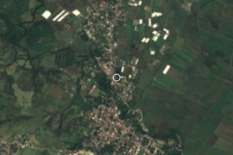


Drive times by road from OpenStreetMap, without traffic. Times marked ~ are estimated from the straight-line distance.
Location from OpenStreetMap. Written by Puebloteca.