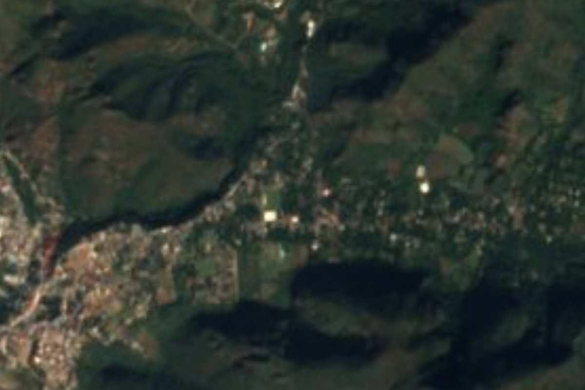
Village Ocuilan, Estado de México Municipality of Ocuilan Southern Estado de México
Orchard village on cobbled lanes next to Chalma; the pilgrim road passes the great ahuehuete whose spring is believed to heal.
From Cuernavaca: 1 h 5 min by car (46 km by road) How to get there ↓
Near here
See everything nearby ↓


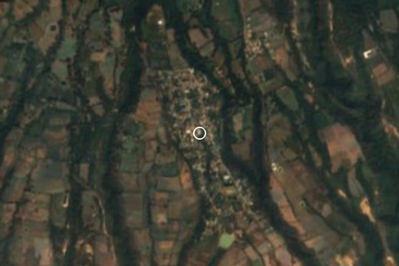

Plan your visit to Chalmita
Where to stay near Chalmita
Compare hotels, posadas and guest houses in Chalmita.
Tours to Chalmita
Day trips and guided outings from Malinalco often include Chalmita; with a local guide you can get there without a car.
 Tours from Cuernavaca
3hr Cooking Class in Cuernavaca 8 Recipes and Bottomless Drinks
From US$59
How to get to Chalmita
- From Cuernavaca: about 1 h 5 min by road (~46 km)
- Nearest airport: Toluca (TLC), 1 h 14 min by car to Malinalco
Links open a partner site. We may earn a commission if you book, at no cost to you.
Tours from Cuernavaca, near Chalmita


Tours, prices and ratings from Viator, checked weekly. We may earn a commission if you book.
About Chalmita
San Ambrosio Chalmita sits a little over a kilometre north-east of the Santuario de Chalma, in the municipality of Ocuilan, at about 1,786 m. It had 1,622 residents in 2020; the village grew from 675 people in 1970 to over 1,500 by 1990 and has barely changed since. Wikipedia reads the name as two Nahuatl words, challi and maitl, roughly "from the mouth to the hand".
Here people live beside the pilgrimage rather than inside it. The village keeps cobbled streets, vernacular houses and a former alcohol and spirits factory, and the municipal monograph says one of Ocuilan's largest archaeological zones lies within its land. Neighbours irrigate fields and fruit orchards with water from the Tlaxipehualco river, which starts higher up at a place called El Obraje.
What draws visitors lies about 4 km to the north along the pilgrims' road: the Ahuehuete de Chalma, at km 40 of the Santiago Tianguistenco–Chalma highway. It stands around 37 m tall, and water wells up among its roots and steps down through a row of small pools; pilgrims drink it, wet themselves in it and hang petitions on the branches. Sources disagree about its age (from 227 years to over 900). Its Nahuatl name means "old man of the water". The sanctuary of the Señor de Chalma, which has its own page here, is a short walk from Chalmita.
How to get to Chalmita
Drive from Cuernavaca: 1 h 5 min, 46 km
Chalmita is about 1.2 km (straight line) north-east of the Santuario de Chalma, about 5 km south of Ocuilan de Arteaga and 8 km east of Malinalco; from Malinalco to Chalma is a mountain road of about 20 minutes by car (approx.). From Mexico City, Autotransportes Flecha Roja runs hourly from the Terminal Poniente (Observatorio) to Chalma, about 2 hours according to route aggregators (check flecharoja.com.mx); from there you walk or take local transport. By car, the Ahuehuete is on the Santiago Tianguistenco–Chalma highway (km 40), and Ocuilan is linked by land to Cuernavaca. Pilgrims on foot start from places like La Marquesa, a walk of 16 or 17 hours to the sanctuary. On big feast days traffic is heavy; go early.
Directions to Chalmita on Google Maps
Distances are in a straight line; the road is usually longer.
Links open a partner site. We may earn a commission if you book, at no cost to you.
From the nearest cities to Chalmita
- Cuernavaca · 46 km by road, 1 h 5 min
- Toluca · 65 km by road, 1 h 10 min
- Taxco · 76 km by road, 1 h 25 min
Drive times by road from OpenStreetMap, without traffic or stops. Times marked ~ are estimated from the straight-line distance.
Before you go to Chalmita: hours, prices and tips
- Best season
- The busiest pilgrimage dates at the sanctuary are 6 January, Ash Wednesday, the first Friday of Lent, Holy Week, Pentecost, 1 July (Señor de Chalma), 28 August, 29 September and Christmas; the whole road fills up then. Wikipedia · checked Oct 2026
- What to bring
- First-time pilgrims usually buy or bring a crown of natural flowers to wear before entering the sanctuary. Tradiciones y Cultura (México) · checked Oct 2026
Hours and prices change, especially around holidays. Each fact links to where we checked it.
Visiting Chalmita: what to see and do
Visit the Ahuehuete de Chalma, about 4 km north, and watch the spring step down in pools to the foot of the trunk.
See pilgrims arrive in flower crowns and hang their petitions from the tree's branches.
Walk Chalmita's cobbled streets and look at the vernacular houses and the old spirits factory.
Find the Tlaxipehualco river and the fruit orchards it irrigates.
Walk on to the Santuario de Chalma, a little over a kilometre away.
Plan your trip
Places to stay in Chalmita
Compare hotels, posadas, and rentals in and around Chalmita.
Tours & activities
Day trips and guided outings from Malinalco often include Chalmita; with a local guide you can get there without a car.
Rental cars
Pick up a car at TLC (Toluca): about 1 h 14 min by road to Malinalco, then 8 km more to Chalmita, on your own schedule.
Flights
The nearest airport with scheduled flights is Toluca (TLC), about 1 h 14 min by road from Malinalco, the base for Chalmita.
Mobile data
Signal can drop away from Malinalco: download a map of the way to Chalmita before you set out, or carry an eSIM with data.
Links open a partner site. We may earn a commission if you book, at no cost to you.
When to go to Chalmita mild
Chalmita shares the climate of Malinalco, 8 km away. The best months to visit are January, February, March, and December.
See the month-by-month climate of Malinalco
Weather in Chalmita now and the next 7 days
Live forecast from Open-Meteo. Chance of rain is the day's highest.
The closest Pueblo Mágico: Malinalco

Malinalco is the Pueblo Mágico closest to Chalmita, with places to stay, food, and more to see.
Also close to
- Xochitepec · Morelos · 20 km away
- Ixtapan de la Sal · Estado de México · 28 km away
- Tonatico · Estado de México · 30 km away
- Tepoztlán · Morelos · 35 km away
- Metepec · Estado de México · 40 km away
Closest to Chalmita
-
Santuario de Chalma · Landmark · 1 km away
-
Ocuilan · Town · 5 km away
-
Palpan de Baranda · Village · 8 km away
-
San Juan Atzingo · Village · 9 km away
-
Buenavista del Monte · Village · 12 km away
-
Cuentepec · Village · 13 km away
-
Desierto del Carmen · Nature reserve · 14 km away
-
Joquicingo · Town · 17 km away


Near Chalmita


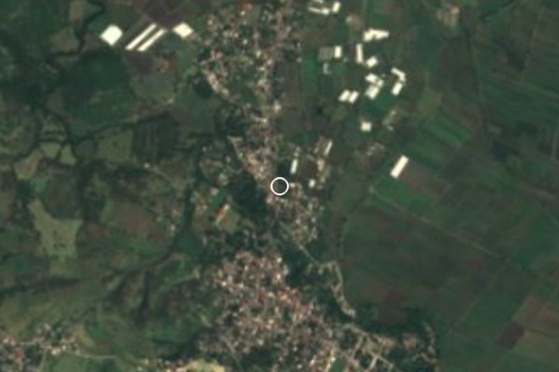


Drive times by road from OpenStreetMap, without traffic. Times marked ~ are estimated from the straight-line distance.
Location from OpenStreetMap. Written by Puebloteca.