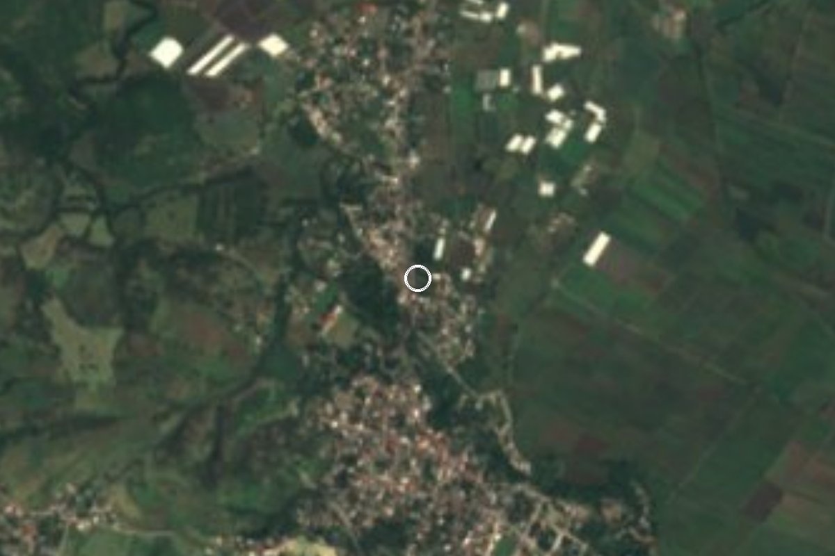
Village Mazatepec, Morelos Municipality of Mazatepec Southern Morelos
Colony on the edge of Mazatepec at 989 m, 1,191 residents in 2020, on the Alpuyeca-Grutas road.
From Cuernavaca: 40 min by car (41 km by road) How to get there ↓
Near here
See everything nearby ↓


Plan your visit to El Florido
Where to stay near El Florido
Compare hotels, posadas and guest houses in El Florido.
Tours to El Florido
Day trips and guided outings from Xochitepec often include El Florido; with a local guide you can get there without a car.
 Tours from Cuernavaca
3hr Cooking Class in Cuernavaca 8 Recipes and Bottomless Drinks
From US$59
How to get to El Florido
- From Cuernavaca: about 40 min by road (~41 km)
- Nearest airport: Toluca (TLC), 1 h 59 min by car to Xochitepec
Links open a partner site. We may earn a commission if you book, at no cost to you.
Tours from Cuernavaca, near El Florido


Tours, prices and ratings from Viator, checked weekly. We may earn a commission if you book.
About El Florido
Roughly 340 more people live in the colony of El Florido than in 2005: INEGI counted 849 residents in 2005, 1,008 in 2010 and 1,191 in 2020, making it the third most populous locality in the municipality of Mazatepec, after the seat itself (4,178) and Cuauchichinola (2,422). In 2020 it had 342 occupied homes, and the average schooling was close to 10 years, well above what other localities of the area show.
It stands at about 990 m, less than 1.5 km northwest of the centre of Mazatepec, and runs along the road from Alpuyeca to Grutas de Cacahuamilpa, where the municipality has recently carried out drainage and paving works. The climate is hot and semi-arid, with an annual mean of about 24 °C, afternoon highs above 33 °C in April and May, and rain concentrated between June and September.
Small settlements surround it: Colonia Valle Verde half a kilometre to the west, Las Huertas under 1 km to the east and Álvaro Obregón 1.5 km to the southwest. In Mazatepec, a little further, stands the Señor del Calvario shrine, a church worth a look, and the hills around, such as El Ayochi (1,245 m), lie about 3 km to the northwest.
There is no tourist trade in the colony itself; restaurants and food stands cluster in the municipal seat.
How to get to El Florido
Drive from Cuernavaca: 40 min, 41 km
From Cuernavaca take federal highway 166, which leaves the Alpuyeca area (junction with the Autopista del Sol 95D) and runs through Miacatlán and Mazatepec toward Tetecala; this is the Alpuyeca-Grutas road the colony lies on. By car, Cuernavaca to Tetecala is about 42 km and roughly 40 minutes; El Florido comes a little before that, about 25 km from Cuernavaca (approx. 30 minutes). From Mexico City take the 95D to Alpuyeca and then the 166.
By bus, Pullman de Morelos runs from Cuernavaca Centro to Mazatepec and Tetecala (approx. 1 hour, departures about every four hours), and from Terminal Sur (Taxqueña) Rome2Rio lists service to Mazatepec in about 2 hours. Ask to get off in Mazatepec and walk or take a taxi 1.4 km northwest. Xochitepec, the nearest Pueblo Mágico, is about 22 km away (approx. 20 minutes by car). Times and fares change, so check with the bus line.
Directions to El Florido on Google Maps
Distances are in a straight line; the road is usually longer.
Links open a partner site. We may earn a commission if you book, at no cost to you.
From the nearest cities to El Florido
- Cuernavaca · 41 km by road, 40 min
- Taxco · 59 km by road, 1 h 5 min
- Iguala · 78 km by road, 1 h 15 min
Drive times by road from OpenStreetMap, without traffic or stops. Times marked ~ are estimated from the straight-line distance.
Visiting El Florido: what to see and do
Visit the Señor del Calvario shrine in Mazatepec, about 1.4 km away.
Stroll Mazatepec and its entrance arch, the municipal seat.
Look up at the El Ayochi hills (1,245 m), about 3 km to the northwest.
Eat antojitos and lamb tacos in the municipal seat.
Follow the road to Grutas de Cacahuamilpa, which passes through the colony.
Plan your trip
Places to stay in El Florido
Compare hotels, posadas, and rentals in and around El Florido.
Tours & activities
Day trips and guided outings from Xochitepec often include El Florido; with a local guide you can get there without a car.
Rental cars
Pick up a car at TLC (Toluca): about 1 h 59 min by road to Xochitepec, then 9 km more to El Florido, on your own schedule.
Flights
The nearest airport with scheduled flights is Toluca (TLC), about 1 h 59 min by road from Xochitepec, the base for El Florido.
Mobile data
Signal can drop away from Xochitepec: download a map of the way to El Florido before you set out, or carry an eSIM with data.
Links open a partner site. We may earn a commission if you book, at no cost to you.
When to go to El Florido warm
El Florido shares the climate of Xochitepec, 9 km away. The best months to visit are January, February, November, and December.
See the month-by-month climate of Xochitepec
Weather in El Florido now and the next 7 days
Live forecast from Open-Meteo. Chance of rain is the day's highest.
The closest Pueblo Mágico: Xochitepec

Xochitepec is the Pueblo Mágico closest to El Florido, with places to stay, food, and more to see.
Also close to
- Tlaltizapán · Morelos · 24 km away
- Malinalco · Estado de México · 27 km away
- Taxco · Guerrero · 32 km away
- Tonatico · Estado de México · 33 km away
- Ixtapan de la Sal · Estado de México · 35 km away
Closest to El Florido
-
Mazatepec · Town · 1 km away
-
Miacatlán · Village · 4 km away
-
Tetecala · Town · 4 km away
-
Zona Arqueológica de Coatetelco · Archaeological site · 4 km away
-
Laguna El Rodeo · Lake · 6 km away
-
Coatlán del Río · Village · 7 km away
-
Cuauchichinola · Village · 8 km away
-
Ahuehuetzingo · Village · 9 km away


Near El Florido


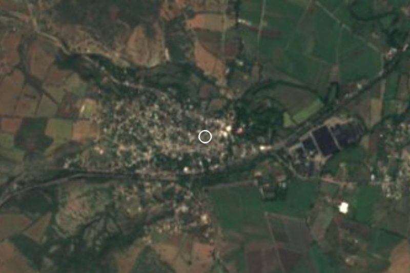


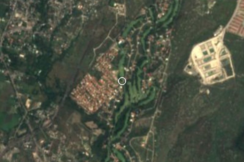



Drive times by road from OpenStreetMap, without traffic. Times marked ~ are estimated from the straight-line distance.
Location from OpenStreetMap. Written by Puebloteca.