

Village Amacuzac, Morelos Municipality of Amacuzac Northern Guerrero
Warm village in Amacuzac on the Cuernavaca-Taxco road, where the Amacuzac river rafting run ends; St Francis feast in late September.
From Taxco: 35 min by car (31 km by road) How to get there ↓
Near here
See everything nearby ↓



Plan your visit to Huajintlán
Where to stay near Huajintlán
Compare hotels, posadas and guest houses in Huajintlán.
Tours to Huajintlán
Day trips and guided outings from Taxco often include Huajintlán; with a local guide you can get there without a car.
 Tours from Taxco
Taxco and Cuernavaca Tour from CDMX
★ 4.5 (11) · From US$61
How to get to Huajintlán
- From Taxco: about 35 min by road (~31 km)
- Nearest airport: Toluca (TLC), 2 h by car to Taxco
Links open a partner site. We may earn a commission if you book, at no cost to you.
Tours from Taxco, near Huajintlán


Tours, prices and ratings from Viator, checked weekly. We may earn a commission if you book.
About Huajintlán
Huajintlán comes from Nahuatl and is read as "place where guajes abound", after the flat-podded tree that gives its name to many sites in Morelos. It is a farming community in the municipality of Amacuzac, in the south-west of the state, at about 950 metres above sea level and some 7 km from the municipal seat. INEGI-based figures give it close to 1,800 residents, and its health centre also serves Teacalco, Colonia Ejidal and other nearby hamlets.
The village lies along Avenida José María Morelos, which is the stretch of the Cuernavaca-Taxco federal road, so it is easy to find even though it has no big sights. Its church was founded by Franciscans in the 16th century, according to the municipality's Wikipedia entry, and the feast of St Francis of Assisi runs from 29 September to 5 October, with brass bands and chinelo dancers as elsewhere in Amacuzac. The climate is hot, with rain from June to October; the local health centre lists scorpion stings as the second most common reason for consultation in 2024, so shake out shoes and check clothing if you camp.
The Amacuzac river runs through the municipality, and for years some operators have run a rafting trip of about 15 km, class II to III rapids, that starts at Cacahuamilpa in Guerrero and ends at Huajintlán. Nearby, in Teacalco, is the Zoofari park, and elsewhere in the municipality stands the Hacienda de San Gabriel Las Palmas, now a hotel, where Iturbide met Vicente Guerrero before the Plan de Iguala.
How to get to Huajintlán
Drive from Taxco: 35 min, 31 km
Huajintlán sits on the Cuernavaca-Taxco federal road (Mex 95), about 49 km south-west of Cuernavaca and some 7 km from Amacuzac, the municipal seat. From Mexico City, take the Autopista del Sol (Mex 95D) toward Cuernavaca and Taxco, or the free Mex 95, and exit for Amacuzac; Wikipedia puts Amacuzac 136 km from Mexico City, about two and a half hours (approx.). The village is on Avenida José María Morelos, the same road, where the health centre stands.
By bus, Estrella de Oro runs Mexico City-Taxco (about 2 h 35 min according to Rome2Rio) and other lines, such as Costalines, run Cuernavaca-Taxco along this road; if you want to get off at Huajintlán, ask the line whether it stops there, or go to Amacuzac and take a taxi. From Taxco, the nearest pueblo on our list, it is about 20 km in a straight line and noticeably more by road (allow around 40 minutes, approx.); from Iguala, the nearest city, about 32 km in a straight line. For the rafting trip, the departure point is Cacahuamilpa in Guerrero.
Directions to Huajintlán on Google Maps
Distances are in a straight line; the road is usually longer.
Links open a partner site. We may earn a commission if you book, at no cost to you.
From the nearest cities to Huajintlán
- Taxco · 31 km by road, 35 min
- Cuernavaca · 50 km by road, 40 min
- Iguala · 61 km by road, 55 min
Drive times by road from OpenStreetMap, without traffic or stops. Times marked ~ are estimated from the straight-line distance.
Before you go to Huajintlán: hours, prices and tips
- Best season
- The feast of St Francis of Assisi runs from 29 September to 5 October, with brass bands and chinelo dancers. Wikipedia · checked Oct 2026
Hours and prices change, especially around holidays. Each fact links to where we checked it.
Visiting Huajintlán: what to see and do
Walk Avenida Morelos and look inside the 16th-century Franciscan church.
Come between 29 September and 5 October for the feast of St Francis, with brass band and chinelos.
Ask agencies at Cacahuamilpa about the 15 km rafting run that ends here.
Visit the Zoofari park in Teacalco, a few kilometres away.
Go on to the Hacienda de San Gabriel Las Palmas in Amacuzac, where Iturbide and Guerrero met.
Plan your trip
Places to stay in Huajintlán
Compare hotels, posadas, and rentals in and around Huajintlán.
Tours & activities
Day trips and guided outings from Taxco often include Huajintlán; with a local guide you can get there without a car.
Rental cars
Pick up a car at TLC (Toluca): about 2 h by road to Taxco, then 20 km more to Huajintlán, on your own schedule.
Flights
The nearest airport with scheduled flights is Toluca (TLC), about 2 h by road from Taxco, the base for Huajintlán.
Mobile data
Signal can drop away from Taxco: download a map of the way to Huajintlán before you set out, or carry an eSIM with data.
Links open a partner site. We may earn a commission if you book, at no cost to you.
When to go to Huajintlán mild
Huajintlán shares the climate of Taxco, 20 km away. The best months to visit are January, February, March, and December.
See the month-by-month climate of Taxco
Weather in Huajintlán now and the next 7 days
Live forecast from Open-Meteo. Chance of rain is the day's highest.
The closest Pueblo Mágico: Taxco

Taxco is the Pueblo Mágico closest to Huajintlán, with places to stay, food, and more to see.
Also close to
- Xochitepec · Morelos · 24 km away
- Tlaltizapán · Morelos · 31 km away
- Tonatico · Estado de México · 34 km away
- Ixtapan de la Sal · Estado de México · 37 km away
- Malinalco · Estado de México · 39 km away
Closest to Huajintlán
-
Amacuzac · Town · 6 km away
-
Casahuatlán · Village · 6 km away
-
Contlalco · Village · 6 km away
-
Benito Juárez · Village · 7 km away
-
Coahuixtla · Village · 7 km away
-
Cuauchichinola · Village · 8 km away
-
Hacienda San Gabriel de las Palmas · Landmark · 8 km away
-
Apancingo · Village · 9 km away
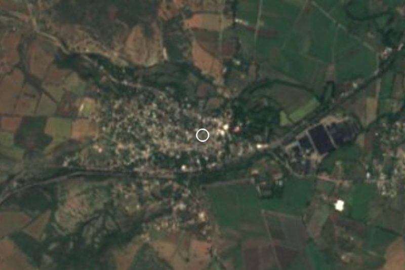
Near Huajintlán


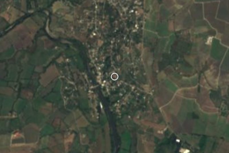


Drive times by road from OpenStreetMap, without traffic. Times marked ~ are estimated from the straight-line distance.
Location from OpenStreetMap. Written by Puebloteca.