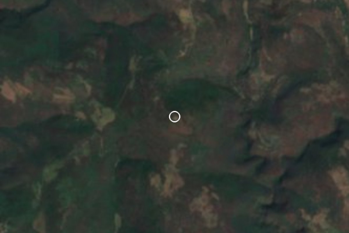
Archaeological site Tlaquiltenango, Morelos Municipality of Tlaquiltenango
Megalithic platforms on top of Cerro del Venado above a bend of the Amacuzac, occupied from about 1200 BC; not officially open to the public.
From Cuautla: 1 h 10 min by car (55 km by road) How to get there ↓
Near here
See everything nearby ↓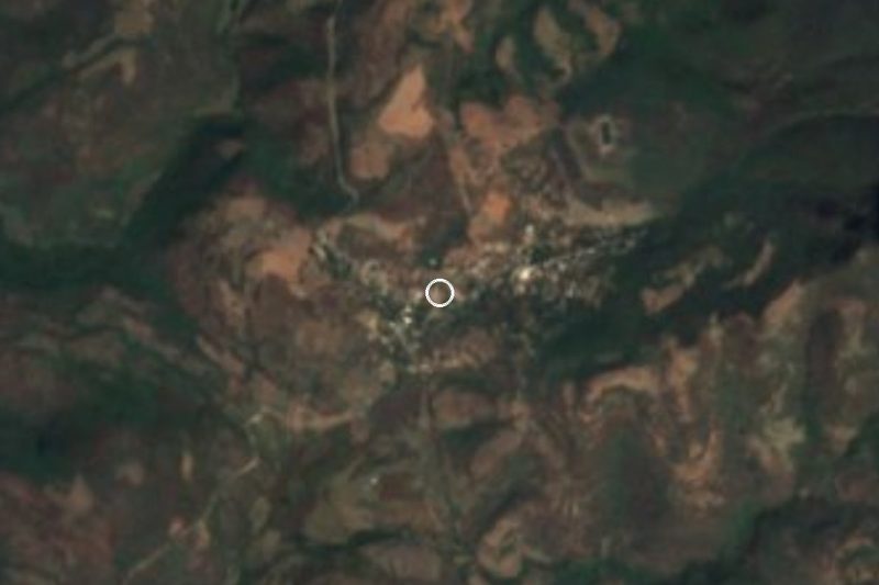

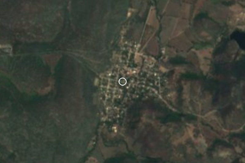
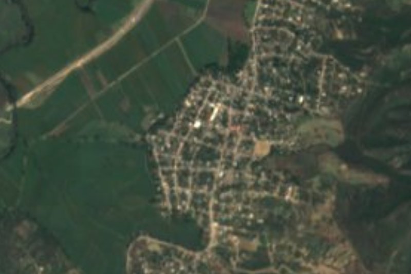
Plan your visit to Zona Arqueológica de Chimalacatlán
Where to stay near Zona Arqueológica de Chimalacatlán
Compare hotels, posadas and guest houses in Zona Arqueológica de Chimalacatlán.
Tours to Zona Arqueológica de Chimalacatlán
A guide brings Zona Arqueológica de Chimalacatlán to life: look for tours from Tlaltizapán that include the site and the ride there.
 Tours from Taxco
Taxco and Cuernavaca Tour from CDMX
★ 4.5 (11) · From US$61
How to get to Zona Arqueológica de Chimalacatlán
- From Cuautla: about 1 h 10 min by road (~55 km)
- Nearest airport: Mexico City (MEX), 1 h 55 min by car to Tlaltizapán
Links open a partner site. We may earn a commission if you book, at no cost to you.
Tours from Taxco, near Zona Arqueológica de Chimalacatlán


Tours, prices and ratings from Viator, checked weekly. We may earn a commission if you book.
About Zona Arqueológica de Chimalacatlán
Chimalacatlan sits on the levelled summit of Cerro del Venado, above a bend of the Amacuzac River in the Sierra de Huautla, in the municipality of Tlaquiltenango. The Nahuatl name is usually read as "place of reed shields". INAH dates the occupation from about 1200 BC to the early 16th century, with periods of abandonment and re-settlement by different peoples. The city was built from the mid-slope upward: houses and workshops lower down, and the civic and ceremonial buildings, with temples, plazas and a ballcourt, near the top.
What sets it apart is the stonework. The platforms are made of very large limestone blocks, up to about 3 m long according to the ARX project, and the lower platform of Group B, the best preserved, measures roughly 40 by 30 m and rises to 8 m at one corner. Local guides describe three groups: A, low on the hill, with a long ballcourt between high walls; B, the megalithic platforms among cacti; and C, the highest point, with terraces of smaller stones and a wide view. On a clear day you can see Lake Tequesquitengo, Xochicalco and villages in Guerrero.
The site has been known since the late 19th century, when Francisco Plancarte y Navarrete, bishop of Cuernavaca, published on it. INAH studies it under the project Sur de Morelos: Chimalacatlán, led by archaeologist Mario Córdova Tello. In 2011, consolidation work on the summit platform uncovered an offering: a vessel bearing the face of Tlaloc, a necklace of six shells and another of eight green stone beads, suggesting the rain god was worshipped there.
Be aware that it is not an officially open archaeological zone: INAH said so in its 2021 report, adding that the site receives periodic attention. People from the village of Chimalacatlan, about 2 km away, act as guides and lend horses for the climb, and the village has a small community museum with Ice Age animal bones from a nearby cave.
How to get to Zona Arqueológica de Chimalacatlán
Drive from Cuautla: 1 h 10 min, 55 km
By road: from Mexico City take the Cuernavaca highway (México 95D) and continue toward Jojutla. In Jojutla take the road to Chinameca, then go on through Las Carpas, La Mezquitera and Valle de Vázquez to the village of Chimalacatlan, which locals also call Chímala. It is the only road into the village. One source puts it about 30 km from Jojutla; as the crow flies the site is about 20 km from Tlaquiltenango and 27 km from Tlaltizapán, though by road it is considerably more.
By bus: Pullman de Morelos runs from the Terminal Central del Sur (Taxqueña) to Jojutla roughly hourly, taking about 2 hours (times and fares change, so check with the line). From Cuernavaca to Jojutla Pullman de Morelos takes about 1 hour. We found no confirmed public transport from Jojutla to the village, so plan on your own car or a taxi.
The last stretch is on foot: leave the car on the village streets and walk a little over 2 km uphill on dirt tracks (one visitor reported about 30 minutes for the climb). Ask in the village for a guide; it is hot, so carry water, a hat and non-slip shoes.
Directions to Zona Arqueológica de Chimalacatlán on Google Maps
Distances are in a straight line; the road is usually longer.
Links open a partner site. We may earn a commission if you book, at no cost to you.
From the nearest cities to Zona Arqueológica de Chimalacatlán
- Cuautla · 55 km by road, 1 h 10 min
- Cuernavaca · 71 km by road, 1 h 25 min
- Atlixco · 112 km by road, 1 h 40 min
Drive times by road from OpenStreetMap, without traffic or stops. Times marked ~ are estimated from the straight-line distance.
Before you go to Zona Arqueológica de Chimalacatlán: hours, prices and tips
- Guide or tour
- Local people from the village guide visitors up the hill and lend horses; a guide is recommended. Tours: Viator GetYourGuide México Desconocido · checked Oct 2026
- What to bring
- Water, hat, sunscreen, light clothes and non-slip shoes; the climb is uphill and hot, and not suited to small children. México Desconocido · checked Oct 2026
- Rules
- Not an officially open archaeological zone: INAH's 2021 project report says it receives periodic care only. Check with the village before going. INAH, Proyecto Sur de Morelos: Chimalacatlán (2021) · checked Oct 2026
Hours and prices change, especially around holidays. Each fact links to where we checked it.
Visiting Zona Arqueológica de Chimalacatlán: what to see and do
Climb to Group B and look at the limestone blocks up to 3 m long, laid without mortar.
Find the long ballcourt of Group A, low on the hill.
Reach the summit platform, where INAH found the Tlaloc offering in 2011.
Look out from Group C: Lake Tequesquitengo, Xochicalco and, far off, Guerrero.
Stop at the village's community museum for the Ice Age animal bones.
Plan your trip
Places to stay in Zona Arqueológica de Chimalacatlán
Compare hotels, posadas, and rentals in and around Zona Arqueológica de Chimalacatlán.
Tours & activities
A guide brings Zona Arqueológica de Chimalacatlán to life: look for tours from Tlaltizapán that include the site and the ride there.
Rental cars
Pick up a car at MEX (Mexico City): about 1 h 55 min by road to Tlaltizapán, then 27 km more to Zona Arqueológica de Chimalacatlán, on your own schedule.
Flights
The nearest airport with scheduled flights is Mexico City (MEX), about 1 h 55 min by road from Tlaltizapán, the base for Zona Arqueológica de Chimalacatlán.
Mobile data
Signal can drop away from Tlaltizapán: download a map of the way to Zona Arqueológica de Chimalacatlán before you set out, or carry an eSIM with data.
Links open a partner site. We may earn a commission if you book, at no cost to you.
When to go to Zona Arqueológica de Chimalacatlán warm
Zona Arqueológica de Chimalacatlán shares the climate of Tlaltizapán, 27 km away. The best months to visit are January, October, November, and December.
See the month-by-month climate of Tlaltizapán
Weather in Zona Arqueológica de Chimalacatlán now and the next 7 days
Live forecast from Open-Meteo. Chance of rain is the day's highest.
The closest Pueblo Mágico: Tlaltizapán

Tlaltizapán is the Pueblo Mágico closest to Zona Arqueológica de Chimalacatlán, with places to stay, food, and more to see.
Also close to
- Xochitepec · Morelos · 44 km away
- Taxco · Guerrero · 54 km away
- Tlayacapan · Morelos · 58 km away
- Tepoztlán · Morelos · 60 km away
- Malinalco · Estado de México · 70 km away
Closest to Zona Arqueológica de Chimalacatlán
-
Chimalacatlán · Village · 2 km away
-
Reserva de la Biosfera Sierra de Huautla · Nature reserve · 3 km away
-
Coaxitlán · Village · 8 km away
-
Huautla · Village · 8 km away
-
Valle de Vázquez · Village · 10 km away
-
Higuerón · Village · 17 km away
-
Pedro Amaro · Village · 18 km away
-
Balneario El Paraíso · Landmark · 19 km away
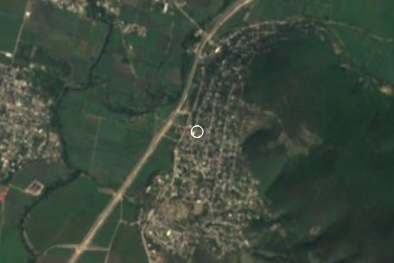

Near Zona Arqueológica de Chimalacatlán

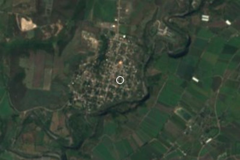







Drive times by road from OpenStreetMap, without traffic. Times marked ~ are estimated from the straight-line distance.
Lists with Zona Arqueológica de Chimalacatlán
Ruins in Morelos · 9 Ruins near Xochitepec · 12 Ruins near Cuautla · 12 Ruins near Iguala · 3 Ruins near Taxco · 4 Ruins near Cuernavaca · 17 Ruins near Tlayacapan · 17 Ruins near Tepoztlán · 19Location from OpenStreetMap. Written by Puebloteca.