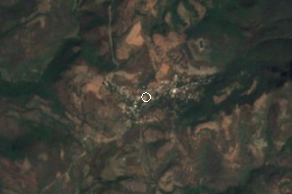
Village Tlaquiltenango, Morelos Municipality of Tlaquiltenango
Village of about 320 people at 1,076 m in the Sierra de Huautla, below the ruins, with a community museum and the Cueva Encantada.
From Cuautla: 1 h 5 min by car (52 km by road) How to get there ↓
Near here
See everything nearby ↓

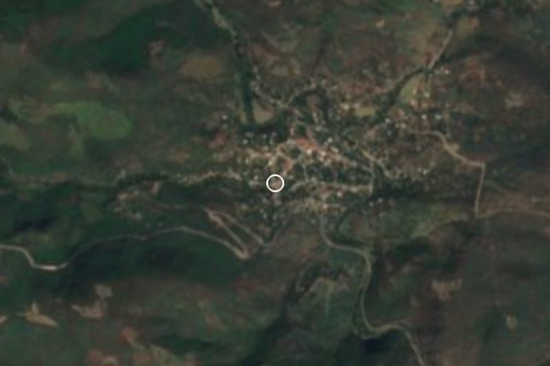
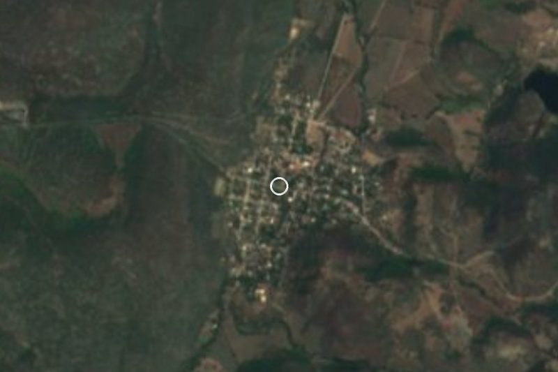
Plan your visit to Chimalacatlán
Where to stay near Chimalacatlán
Compare hotels, posadas and guest houses in Chimalacatlán.
Tours to Chimalacatlán
Day trips and guided outings from Tlaltizapán often include Chimalacatlán; with a local guide you can get there without a car.
How to get to Chimalacatlán
- From Cuautla: about 1 h 5 min by road (~52 km)
- Nearest airport: Mexico City (MEX), 1 h 55 min by car to Tlaltizapán
Links open a partner site. We may earn a commission if you book, at no cost to you.
About Chimalacatlán
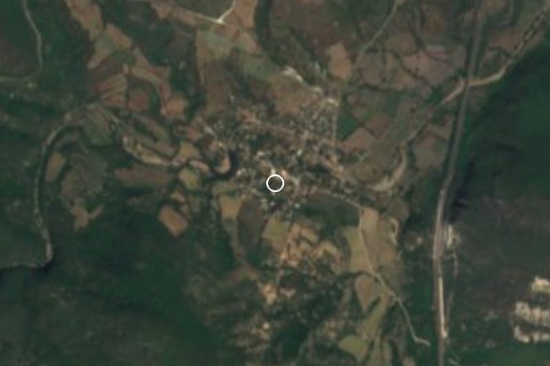
Locals call it Chímala, and the Nahuatl name is read as "place of reed shields". The village sits at about 1,076 m in the Sierra de Huautla, in the south of Tlaquiltenango municipality, and the 2020 census counted 324 people, down from 401 in 2000 (384 in 2005, 364 in 2010). About 104 homes are occupied, nearly all with electricity and piped water, and there is a preschool, a primary school and a middle school. Most residents are Catholic (244), with 52 Protestants.
Most visitors come for what lies above it. The Chimalacatlán ruins on top of Cerro del Venado are about 2 km uphill and have a page of their own; the village is the starting point and the place to ask for a guide. In 2001 residents opened a community museum, with INAH support, holding fossils, tools, figurines and obsidian points collected over decades. One recent guide calls it modest, and the federal cultural information system lists it as temporarily closed, so ask before counting on it.
About 2 km from the ruins is the Cueva Encantada, which archaeologist Florencia Müller explored in the 1940s: it yielded Pleistocene fossils (gomphotheres and ground sloths) and human tools more than 10,000 years old, according to that guide. Local tradition speaks of a female guardian, "la dueña", who watches over the hill.
The climate is warm and semi-arid, averaging 24.1 °C with roughly 1,240 mm of rain a year; September is the wettest month and April the hottest. There are no hotels in the village: the nearest are 24 to 29 km away, and the restaurants in the area are in Jojutla and other towns 15 to 19 km off, so bring water and food.
How to get to Chimalacatlán
Drive from Cuautla: 1 h 5 min, 52 km
You can only reach it by road, and the last stretch is a country track. From Mexico City take toll road 95D toward Cuernavaca and keep south to Alpuyeca and Jojutla. From there, guides say to head toward Chinameca and continue on rural roads through Las Carpas, La Mezquitera and Valle de Vázquez to Chimalacatlán. From Tlaquiltenango it is about 30 km according to Wikipedia (La Mezquitera is about 12 km out and Valle de Vázquez about 20); We found no reliable travel time from Cuernavaca: allow over an hour from Jojutla and check the route first.
By bus, Pullman de Morelos runs from the Terminal Sur (Taxqueña) in Mexico City to Jojutla, and from Cuernavaca to Jojutla, but We found no confirmed public transport from Jojutla to the village, so plan on your own car or a taxi hired in Jojutla or Tlaquiltenango. Fill the tank beforehand and ask about the state of the road before leaving, especially in the rains.
Directions to Chimalacatlán on Google Maps
Distances are in a straight line; the road is usually longer.
Links open a partner site. We may earn a commission if you book, at no cost to you.
From the nearest cities to Chimalacatlán
- Cuautla · 52 km by road, 1 h 5 min
- Cuernavaca · 68 km by road, 1 h 20 min
- Atlixco · 109 km by road, 1 h 35 min
Drive times by road from OpenStreetMap, without traffic or stops. Times marked ~ are estimated from the straight-line distance.
Visiting Chimalacatlán: what to see and do
Ask in the village for a guide to the ruins, about 2 km uphill.
Ask about the community museum, opened in 2001; it may be closed.
Inquire about the Cueva Encantada, about 2 km beyond the ruins.
Look east to Cerro Frío (1,659 m), 2 km from the village.
Walk toward Huixastla, about 6 km north, along the sierra.
Plan your trip
Places to stay in Chimalacatlán
Compare hotels, posadas, and rentals in and around Chimalacatlán.
Tours & activities
Day trips and guided outings from Tlaltizapán often include Chimalacatlán; with a local guide you can get there without a car.
Rental cars
Pick up a car at MEX (Mexico City): about 1 h 55 min by road to Tlaltizapán, then 26 km more to Chimalacatlán, on your own schedule.
Flights
The nearest airport with scheduled flights is Mexico City (MEX), about 1 h 55 min by road from Tlaltizapán, the base for Chimalacatlán.
Mobile data
Signal can drop away from Tlaltizapán: download a map of the way to Chimalacatlán before you set out, or carry an eSIM with data.
Links open a partner site. We may earn a commission if you book, at no cost to you.
When to go to Chimalacatlán warm
Chimalacatlán shares the climate of Tlaltizapán, 26 km away. The best months to visit are January, October, November, and December.
See the month-by-month climate of Tlaltizapán
Weather in Chimalacatlán now and the next 7 days
Live forecast from Open-Meteo. Chance of rain is the day's highest.
The closest Pueblo Mágico: Tlaltizapán

Tlaltizapán is the Pueblo Mágico closest to Chimalacatlán, with places to stay, food, and more to see.
Also close to
- Xochitepec · Morelos · 43 km away
- Taxco · Guerrero · 55 km away
- Tlayacapan · Morelos · 56 km away
- Tepoztlán · Morelos · 58 km away
- Malinalco · Estado de México · 69 km away
Closest to Chimalacatlán
-
Zona Arqueológica de Chimalacatlán · Archaeological site · 2 km away
-
Reserva de la Biosfera Sierra de Huautla · Nature reserve · 4 km away
-
Huautla · Village · 8 km away
-
Valle de Vázquez · Village · 8 km away
-
Coaxitlán · Village · 10 km away
-
Higuerón · Village · 16 km away
-
Pedro Amaro · Village · 17 km away
-
Balneario El Paraíso · Landmark · 18 km away

Near Chimalacatlán

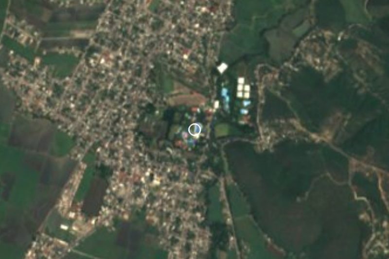




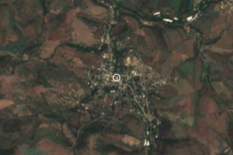


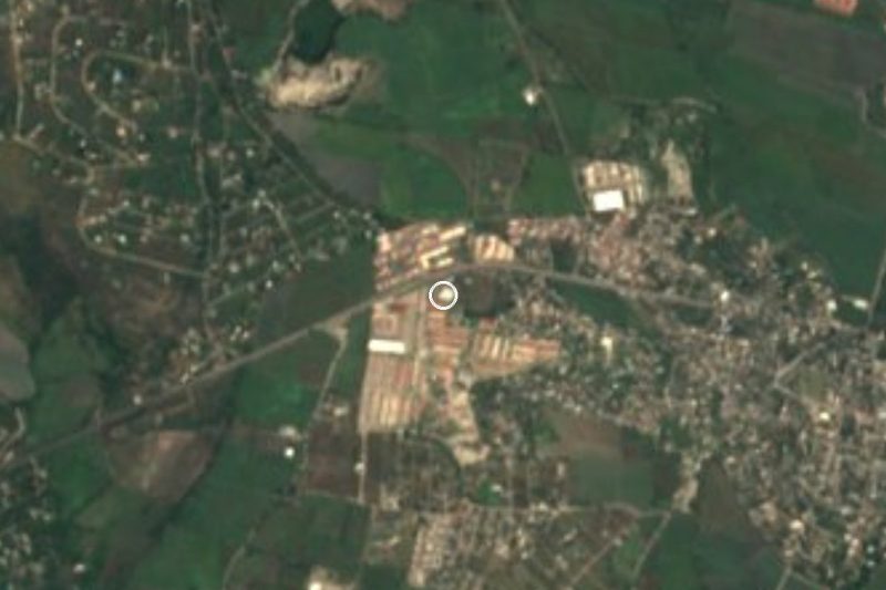
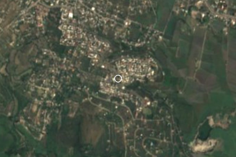
Drive times by road from OpenStreetMap, without traffic. Times marked ~ are estimated from the straight-line distance.
Location from OpenStreetMap. Written by Puebloteca.