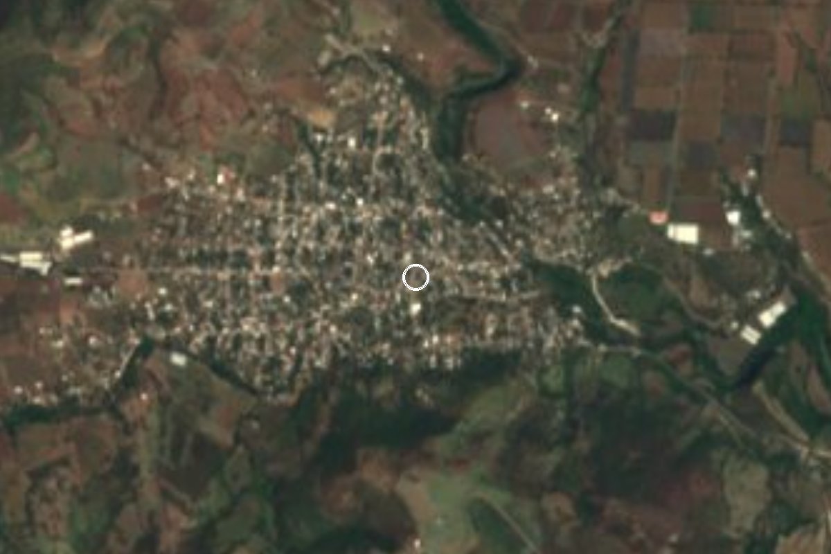
Village Tepalcingo, Morelos Municipality of Tepalcingo
Tepalcingo village at about 1,060 m with 3,495 people in 2020; on 15 February 1979 US president Jimmy Carter had lunch in its main square.
From Cuautla: 50 min by car (47 km by road) How to get there ↓
Near here
See everything nearby ↓

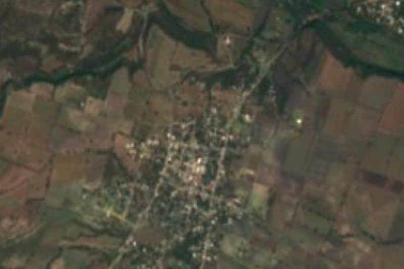

Plan your visit to Ixtlilco el Grande
Where to stay near Ixtlilco el Grande
Compare hotels, posadas and guest houses in Ixtlilco el Grande.
Tours to Ixtlilco el Grande
Day trips and guided outings from Tlaltizapán often include Ixtlilco el Grande; with a local guide you can get there without a car.
 Tours from Atlixco
Atlixco Volcano Views Popocatépetl Tour Forest Route
From US$108
How to get to Ixtlilco el Grande
- From Cuautla: about 50 min by road (~47 km)
- Nearest airport: Mexico City (MEX), 1 h 55 min by car to Tlaltizapán
Links open a partner site. We may earn a commission if you book, at no cost to you.
Tours from Atlixco, near Ixtlilco el Grande
Tours, prices and ratings from Viator, checked weekly. We may earn a commission if you book.
About Ixtlilco el Grande
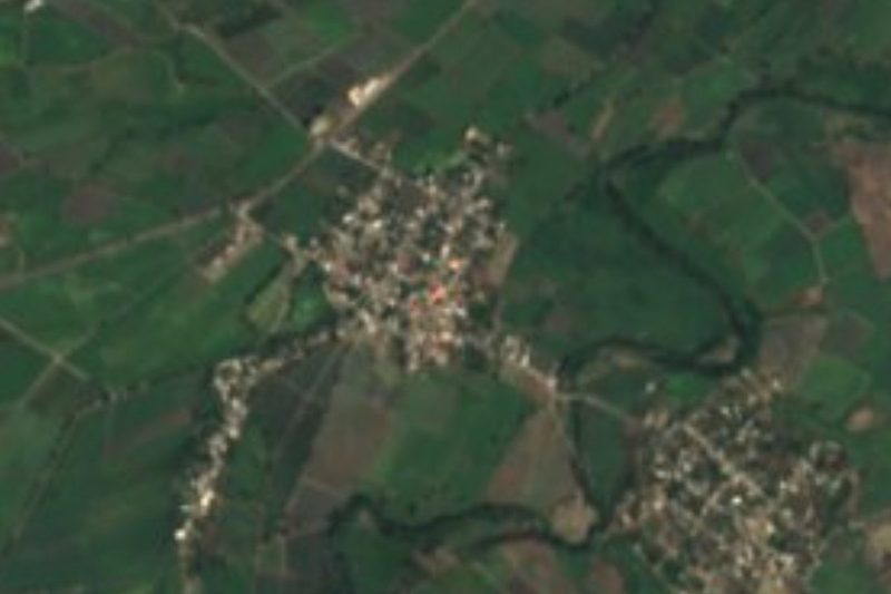
Ixtlilco el Grande is the larger of the two Ixtlilco villages in the municipality of Tepalcingo, in southern Morelos. The 2020 census counted 3,495 people, up from about 700 in 1900. The name comes from Nahuatl and is usually read as "in the black plain" (ixtli, plain; tlilli, black; co, place), and "grande" tells it apart from Ixtlilco el Chico, another locality in the same municipality. It sits at about 1,058 m above sea level, in a municipality that Wikipedia classes as tropical with a dry winter.
What sets it apart from other villages in eastern Morelos is an unlikely guest. On 15 February 1979, during his official trip to Mexico, US president Jimmy Carter had lunch in the village's main square, hosted by the governor of Morelos, Armando León Bejarano. In his remarks, published by the American Presidency Project, he said he had seen tomatoes, onions, corn, cantaloupes, watermelons, rice and peanuts, visited the school, and watched a local family demonstrate an irrigation pump. He credited a rural development programme and compared the village with his hometown of Plains, Georgia, which he said was not even half as big.
Today it is a working farm village with no formal tourist sights. The nearest major religious site is the sanctuary of Jesús Nazareno in the municipal seat of Tepalcingo, whose fair falls on the third Friday after Ash Wednesday.
How to get to Ixtlilco el Grande
Drive from Cuautla: 50 min, 47 km
From Cuautla it is about 36 km as the crow flies and roughly 38 km by road to Tepalcingo; Ixtlilco el Grande is inside the same municipality, a few kilometres from the seat depending on the road (allow about 40 minutes to an hour by car, without traffic). Leave Cuautla heading south on the road to Jonacatepec and Tepalcingo, the same one that continues to Izúcar de Matamoros and Puebla. Check the last turn on an online map, because We could not confirm the highway number for that final stretch.
From Mexico City, take the highway to Cuautla (Mexico-Cuernavaca, then La Pera-Cuautla, 160D), then head south from Cuautla; the whole trip is about 140 km. By public transport, intercity buses from the Cuautla bus terminal run to Tepalcingo (about 1 h 10 min according to Rome2Rio, with departures every few hours), and from there combis and taxis go to Ixtlilco el Grande. Ask at the terminal for the current line and times. The nearest pueblo in our guide, Tlaltizapán, is about 38 km away in a straight line (about 45 minutes), but there is no direct connection: going through Cuautla is the practical way.
Directions to Ixtlilco el Grande on Google Maps
Distances are in a straight line; the road is usually longer.
Links open a partner site. We may earn a commission if you book, at no cost to you.
From the nearest cities to Ixtlilco el Grande
- Cuautla · 47 km by road, 50 min
- Atlixco · 82 km by road, 1 h 15 min
- Cuernavaca · 97 km by road, 1 h 35 min
Drive times by road from OpenStreetMap, without traffic or stops. Times marked ~ are estimated from the straight-line distance.
Visiting Ixtlilco el Grande: what to see and do
Walk through the main square, where Jimmy Carter had lunch on 15 February 1979.
Look at the irrigated fields around the village: the corn, onions, tomatoes and rice Carter listed in his speech.
Note the flat land: the name means "in the black plain".
Continue to the municipal seat, Tepalcingo, for the sanctuary of Jesús Nazareno and its baroque façade.
Time a visit for the Tepalcingo fair, on the third Friday after Ash Wednesday.
Plan your trip
Places to stay in Ixtlilco el Grande
Compare hotels, posadas, and rentals in and around Ixtlilco el Grande.
Tours & activities
Day trips and guided outings from Tlaltizapán often include Ixtlilco el Grande; with a local guide you can get there without a car.
Rental cars
Pick up a car at MEX (Mexico City): about 1 h 55 min by road to Tlaltizapán, then 38 km more to Ixtlilco el Grande, on your own schedule.
Flights
The nearest airport with scheduled flights is Mexico City (MEX), about 1 h 55 min by road from Tlaltizapán, the base for Ixtlilco el Grande.
Mobile data
Signal can drop away from Tlaltizapán: download a map of the way to Ixtlilco el Grande before you set out, or carry an eSIM with data.
Links open a partner site. We may earn a commission if you book, at no cost to you.
When to go to Ixtlilco el Grande warm
Ixtlilco el Grande shares the climate of Tlaltizapán, 38 km away. The best months to visit are January, October, November, and December.
See the month-by-month climate of Tlaltizapán
Weather in Ixtlilco el Grande now and the next 7 days
Live forecast from Open-Meteo. Chance of rain is the day's highest.
The closest Pueblo Mágico: Tlaltizapán

Tlaltizapán is the Pueblo Mágico closest to Ixtlilco el Grande, with places to stay, food, and more to see.
Also close to
- Tlayacapan · Morelos · 51 km away
- Tepoztlán · Morelos · 59 km away
- Xochitepec · Morelos · 59 km away
- Atlixco · Puebla · 61 km away
Closest to Ixtlilco el Grande
-
Ixtlilco el Chico · Village · 4 km away
-
Quebrantadero · Village · 4 km away
-
Telixtac · Village · 7 km away
-
Cuauhtémoc · Village · 8 km away
-
Teotlalco · Village · 8 km away
-
Tepalcingo · Town · 8 km away
-
Axochiapan · Village · 9 km away
-
Atlacahualoya · Village · 11 km away

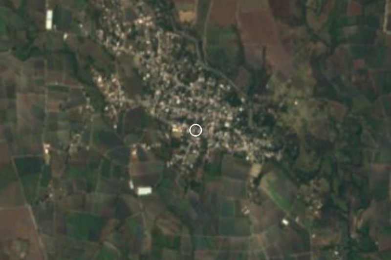
Near Ixtlilco el Grande
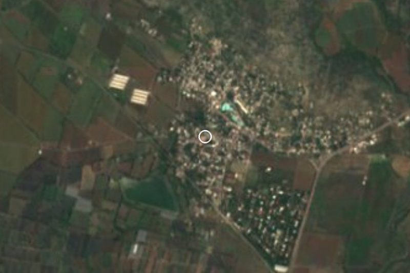
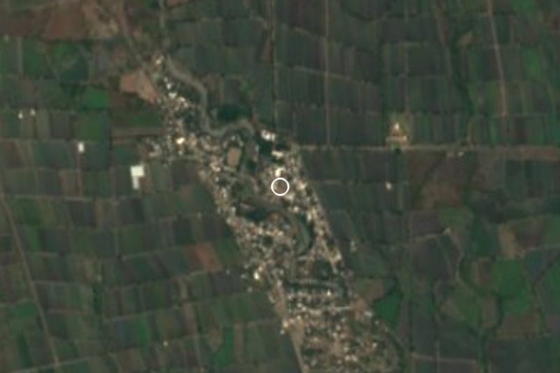

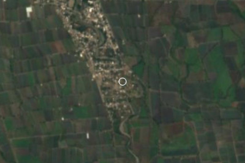

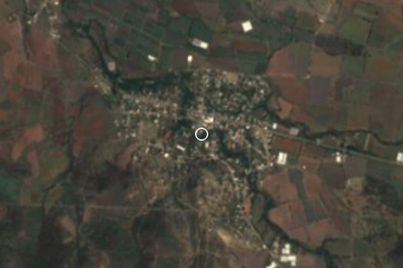
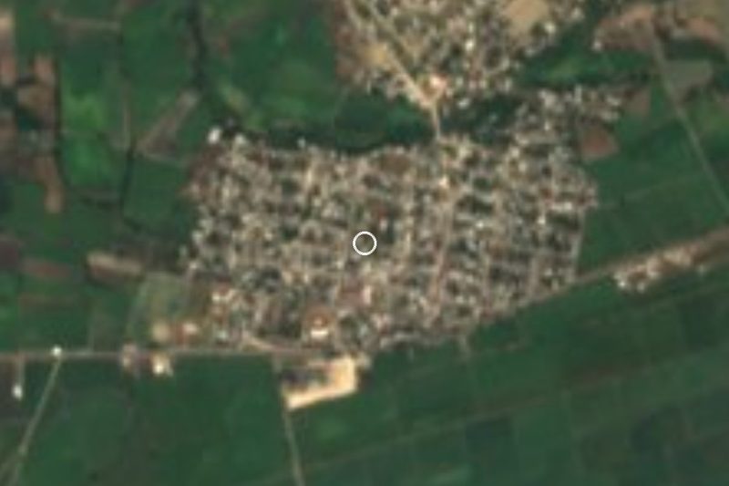

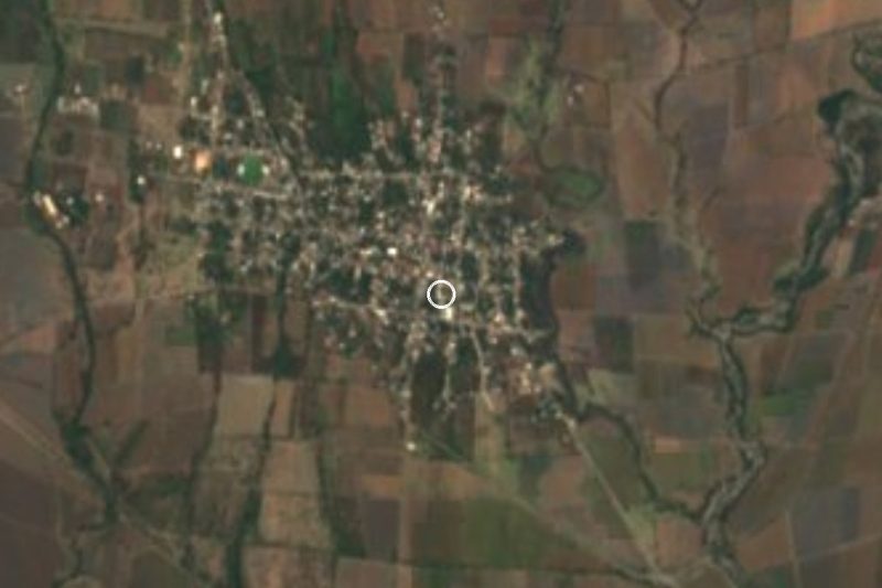


Drive times by road from OpenStreetMap, without traffic. Times marked ~ are estimated from the straight-line distance.
Location from OpenStreetMap. Written by Puebloteca.