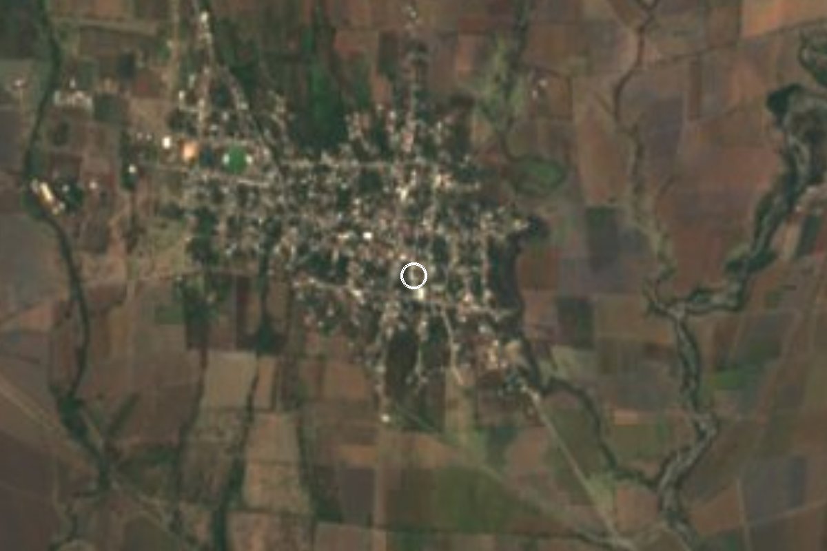
Village Jonacatepec, Morelos Municipality of Jonacatepec
Locality in Jonacatepec with 4,278 people in 2020 and its own health centre; the Nahuatl name points to rocky ground.
From Cuautla: 35 min by car (41 km by road) How to get there ↓
Near here
See everything nearby ↓
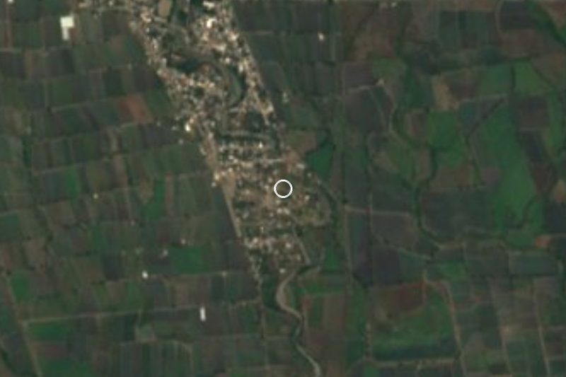
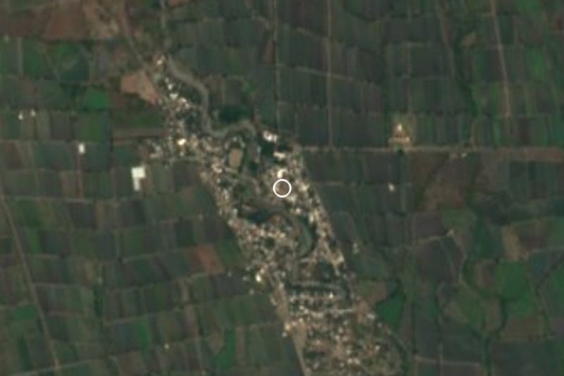
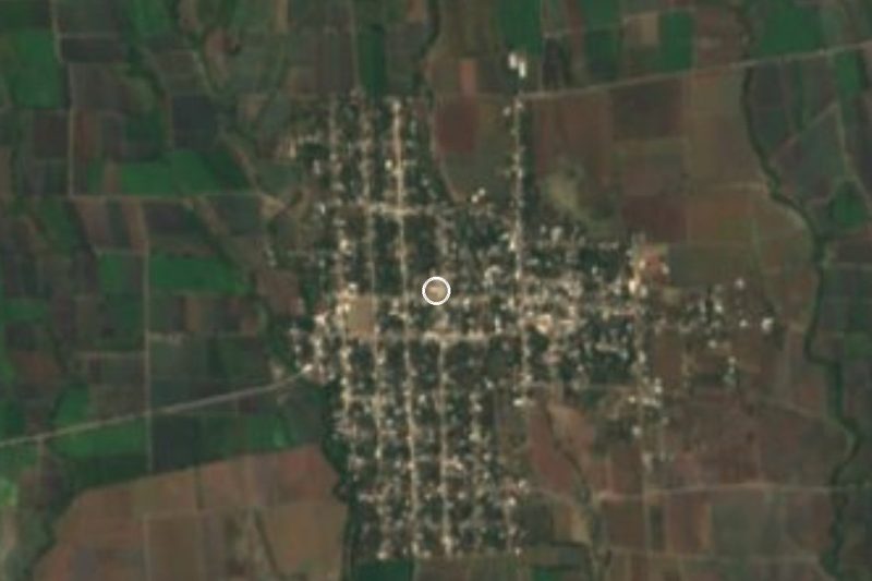

Plan your visit to Tetelilla
Where to stay near Tetelilla
Compare hotels, posadas and guest houses in Tetelilla.
Tours to Tetelilla
Day trips and guided outings from Tlaltizapán often include Tetelilla; with a local guide you can get there without a car.
How to get to Tetelilla
- From Cuautla: about 35 min by road (~41 km)
- Nearest airport: Mexico City (MEX), 1 h 55 min by car to Tlaltizapán
Links open a partner site. We may earn a commission if you book, at no cost to you.
About Tetelilla
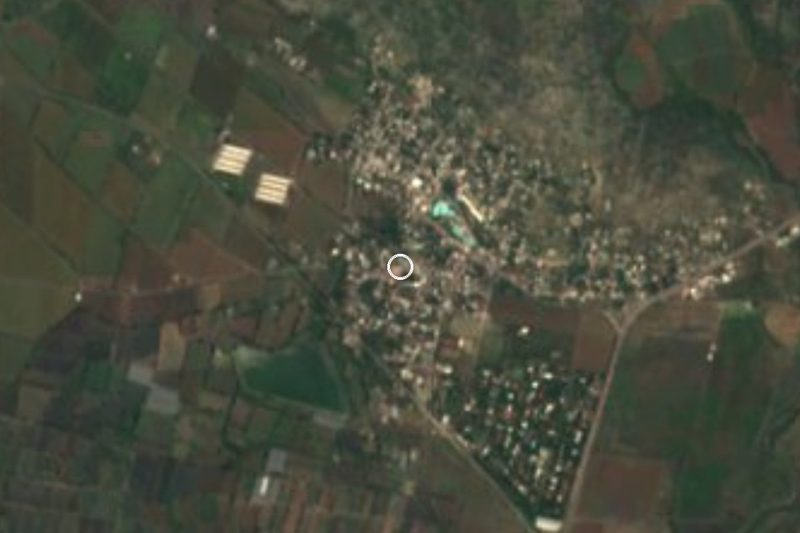
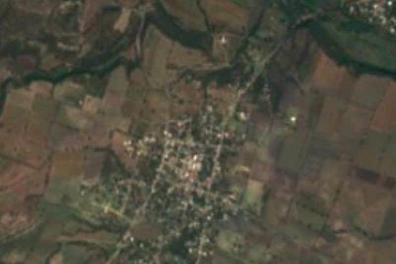
With 4,278 people in the 2020 census (3,182 in 2010 and 2,894 in 2005), Tetelilla is considerably larger than its diminutive name suggests. It belongs to the municipality of Jonacatepec, in eastern Morelos, at about 1,160 m above sea level and some 8 km straight-line from the seat, Jonacatepec de Leandro Valle.
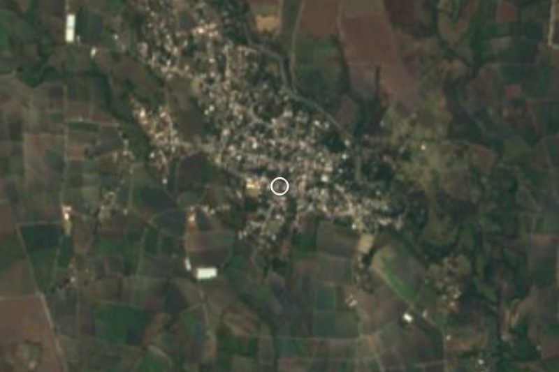
The name is the diminutive of Tetela, from Nahuatl tetl, stone: 'place where stones abound'. Some render it as 'mountain', and the land around explains why, since Cerro Tenango (1,634 m) and Los Coyotes (1,436 m) rise to the north. Tenango (Santa Ana), with about 1,900 people, lies 1.7 km south, and small hamlets such as El Pedregal and Colonia San Martín fill the gaps between.
The climate is hot and semi-arid: about 23 °C on average, April the warmest month and around 1,150 mm of rain a year, September the wettest. A state health-ministry clinic here recorded 4,523 residents in its catchment in its 2025 sheet. The village has pozole and taco stands.
Tetelilla has no hotels; the nearest are about 11 km to the west. We found no published information on its church, patron saint's day or hours, and we have not invented any. Mind the namesake: there is another Tetelilla in Hueyapan, and this one is in Jonacatepec.
How to get to Tetelilla
Drive from Cuautla: 35 min, 41 km
Tetelilla is about 8 km straight-line from Jonacatepec and some 30 km straight-line from Cuautla, the reference city; the natural route is south from Cuautla through the Jonacatepec area. A route planner lists hourly Cuautla to Jonacatepec departures of about 40 minutes and direct buses from Jonacatepec to Mexico City's TAPO in about 3 h 20 min; those are aggregator figures, so confirm at the terminal. We found no published service all the way to Tetelilla nor the number of the access road, so from Jonacatepec take a taxi or rely on GPS. By car, allow about 45 minutes to 1 hour from Cuautla (our own estimate).
Directions to Tetelilla on Google Maps
Distances are in a straight line; the road is usually longer.
Links open a partner site. We may earn a commission if you book, at no cost to you.
From the nearest cities to Tetelilla
- Cuautla · 41 km by road, 35 min
- Atlixco · 66 km by road, 55 min
- Cuernavaca · 91 km by road, 1 h 15 min
Drive times by road from OpenStreetMap, without traffic or stops. Times marked ~ are estimated from the straight-line distance.
Visiting Tetelilla: what to see and do
Stroll the village streets and the neighbouring hamlets.
Look north to Cerro Tenango (1,634 m).
Walk or drive 1.7 km south to Tenango (Santa Ana).
Eat pozole or tacos at the village stands.
Plan your trip
Places to stay in Tetelilla
Compare hotels, posadas, and rentals in and around Tetelilla.
Tours & activities
Day trips and guided outings from Tlaltizapán often include Tetelilla; with a local guide you can get there without a car.
Rental cars
Pick up a car at MEX (Mexico City): about 1 h 55 min by road to Tlaltizapán, then 40 km more to Tetelilla, on your own schedule.
Flights
The nearest airport with scheduled flights is Mexico City (MEX), about 1 h 55 min by road from Tlaltizapán, the base for Tetelilla.
Mobile data
Signal can drop away from Tlaltizapán: download a map of the way to Tetelilla before you set out, or carry an eSIM with data.
Links open a partner site. We may earn a commission if you book, at no cost to you.
When to go to Tetelilla warm
Tetelilla shares the climate of Tlaltizapán, 40 km away. The best months to visit are January, October, November, and December.
See the month-by-month climate of Tlaltizapán
Weather in Tetelilla now and the next 7 days
Live forecast from Open-Meteo. Chance of rain is the day's highest.
The closest Pueblo Mágico: Tlaltizapán

Tlaltizapán is the Pueblo Mágico closest to Tetelilla, with places to stay, food, and more to see.
Also close to
- Tlayacapan · Morelos · 44 km away
- Atlixco · Puebla · 49 km away
- Tepoztlán · Morelos · 54 km away
- Xochitepec · Morelos · 60 km away
- Cholula · Puebla · 69 km away
Closest to Tetelilla
-
Tenango · Village · 2 km away
-
La Nopalera · Village · 5 km away
-
Marcelino Rodríguez · Village · 5 km away
-
Telixtac · Village · 6 km away
-
Atotonilco · Village · 8 km away
-
Jonacatepec · Town · 8 km away
-
Tepalcingo · Town · 8 km away
-
Atlacahualoya · Village · 9 km away

Near Tetelilla






Drive times by road from OpenStreetMap, without traffic. Times marked ~ are estimated from the straight-line distance.
Location from OpenStreetMap. Written by Puebloteca.