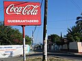
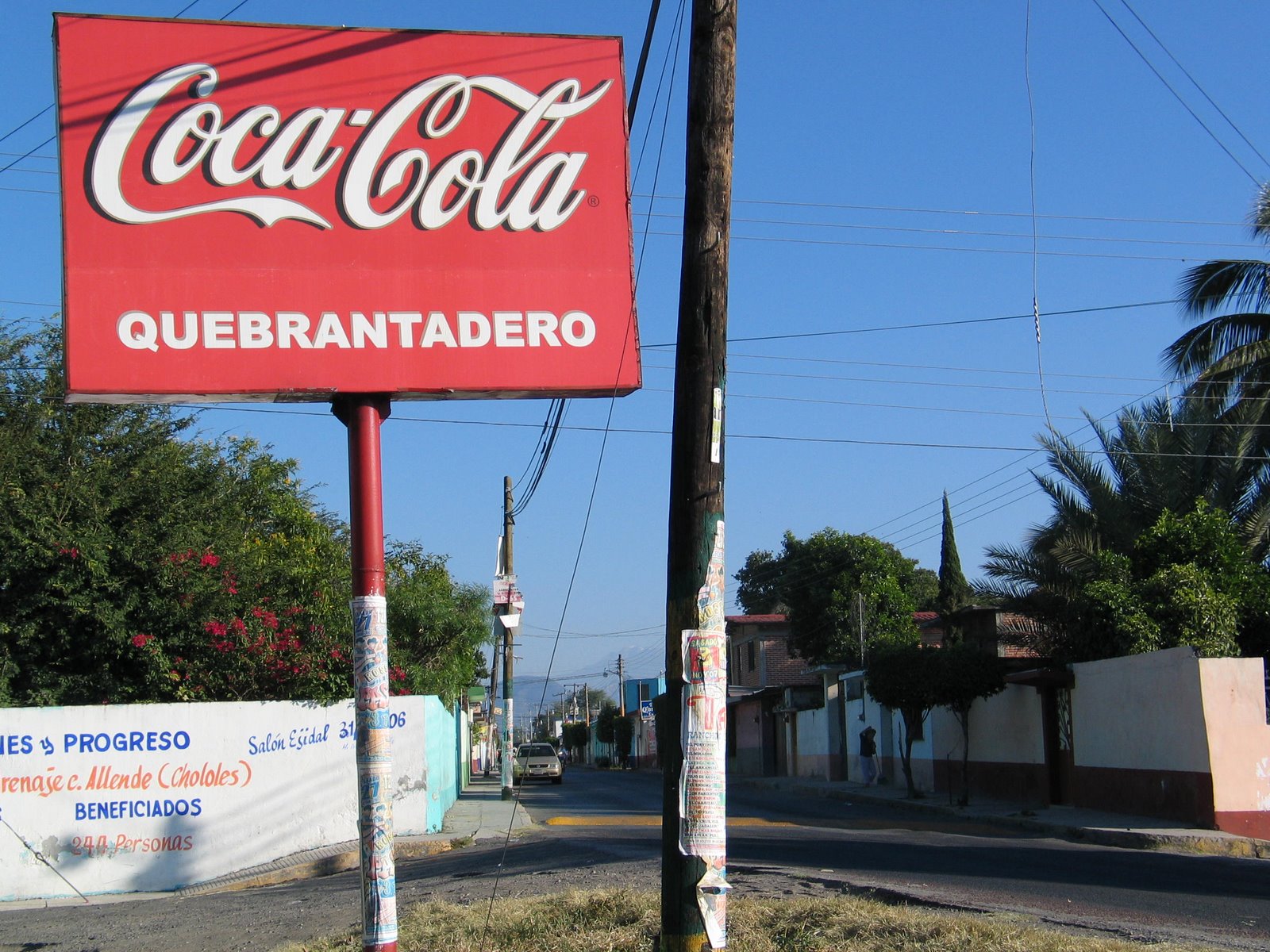
Village Axochiapan, Morelos Municipality of Axochiapan
A village in southeast Morelos, 5 km from Axochiapan near the Puebla line; San José feast on 19 March and a mojiganga in September.
From Cuautla: 50 min by car (47 km by road) How to get there ↓
Near here
See everything nearby ↓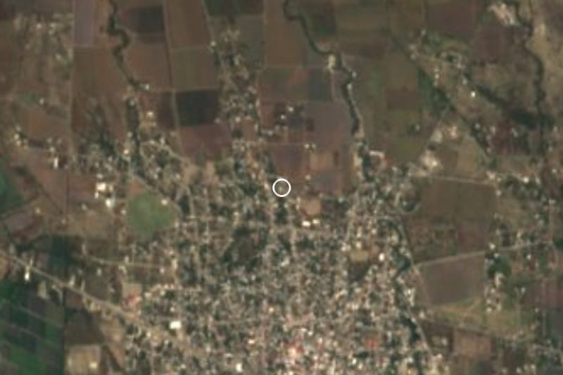
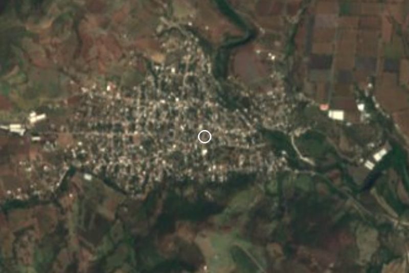

Plan your visit to Quebrantadero
Where to stay near Quebrantadero
Compare hotels, posadas and guest houses in Quebrantadero.
Tours to Quebrantadero
Day trips and guided outings from Tlaltizapán often include Quebrantadero; with a local guide you can get there without a car.
 Tours from Atlixco
Atlixco Volcano Views Popocatépetl Tour Forest Route
From US$108
How to get to Quebrantadero
- From Cuautla: about 50 min by road (~47 km)
- Nearest airport: Mexico City (MEX), 1 h 55 min by car to Tlaltizapán
Links open a partner site. We may earn a commission if you book, at no cost to you.
Tours from Atlixco, near Quebrantadero
Tours, prices and ratings from Viator, checked weekly. We may earn a commission if you book.
About Quebrantadero
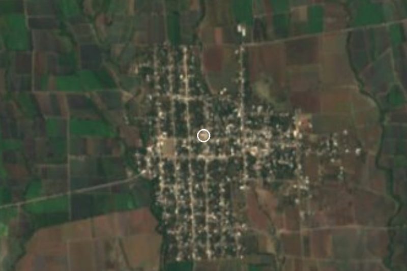
Quebrantadero lies in the far southeast of Morelos, in the municipality of Axochiapan, at about 1,067 metres above sea level and 5 km from the municipal seat. According to INEGI figures carried by Wikidata, 2,462 people lived here in 2020, which makes it one of the larger localities in the municipality alongside Telixtac and Atlacahualoya. Very little has been written about it: the sources we found mention it mostly within the municipal monograph, and that is all we can state with confidence.
The building the monograph singles out is the church of San José, one of the few outside the seat that it recommends visiting. Its feast is on 19 March. On the first and second Sundays of September, Quebrantadero shares with Axochiapan, Atlacahualoya and Telixtac the mojiganga, a celebration held in each of those villages on the same dates. In December, as elsewhere in the municipality, there is a dance for the Virgin of Guadalupe and posadas.
To understand the setting, look at the municipality. Nearly six in ten working people are in agriculture: rain-fed fields grow maize, sorghum, peanuts, beans, squash and hibiscus for jamaica, and irrigated plots grow onion, cucumber and sugar cane. In the seat, small firms process gypsum, and local cooking centres on goat barbacoa with tepache, green pipián with tamales and plum salsa. The magnitude 7.1 earthquake of 19 September 2017 had its epicentre in Axochiapan, worth keeping in mind when visiting old churches in the area.
How to get to Quebrantadero
Drive from Cuautla: 50 min, 47 km
Quebrantadero is 5 km from Axochiapan, and nearly all of the trip is getting to that town. It is about 108 km by road from Cuernavaca and 157 km from Mexico City (Wikipedia). The road into Axochiapan is the one from Cuautla; from Axochiapan others lead to Izúcar de Matamoros, Iguala and Chiautla de Tapia. Cuautla is about 38 km away in a straight line, approx. 45 minutes by car. By bus, services from Mexico City's southern terminal (Taxqueña) reach Cuautla in about 90 minutes (Pullman de Morelos); from Cuautla to Axochiapan the municipal monograph lists Autobuses Volcanes y Sur, Estrella Roja de Cuautla (which also serves Cuernavaca and Mexico City) and Mártires del Sur, which runs to Cuautla only. That list comes from an older entry, so check schedules at the terminal. From Axochiapan to the village, take a taxi or local transport, about 5 km.
Directions to Quebrantadero on Google Maps
Distances are in a straight line; the road is usually longer.
Links open a partner site. We may earn a commission if you book, at no cost to you.
From the nearest cities to Quebrantadero
- Cuautla · 47 km by road, 50 min
- Atlixco · 83 km by road, 1 h 15 min
- Cuernavaca · 97 km by road, 1 h 30 min
Drive times by road from OpenStreetMap, without traffic or stops. Times marked ~ are estimated from the straight-line distance.
Before you go to Quebrantadero: hours, prices and tips
- Best season
- Feast of San José on 19 March; mojiganga on the first and second Sundays of September, together with Axochiapan, Atlacahualoya and Telixtac. Wikipedia (es), Axochiapan · checked Oct 2026
Hours and prices change, especially around holidays. Each fact links to where we checked it.
Visiting Quebrantadero: what to see and do
The church of San José, the one the municipal monograph recommends visiting in Quebrantadero.
The feast of San José on 19 March.
The mojiganga on the first and second Sundays of September.
The churches of San Pablo and Padre Jesús in Axochiapan, 5 km away, the first from the 16th century and the second from the 18th.
The Los Amates and La Aurora spas, with mildly sulphurous water, in Axochiapan.
Plan your trip
Places to stay in Quebrantadero
Compare hotels, posadas, and rentals in and around Quebrantadero.
Tours & activities
Day trips and guided outings from Tlaltizapán often include Quebrantadero; with a local guide you can get there without a car.
Rental cars
Pick up a car at MEX (Mexico City): about 1 h 55 min by road to Tlaltizapán, then 41 km more to Quebrantadero, on your own schedule.
Flights
The nearest airport with scheduled flights is Mexico City (MEX), about 1 h 55 min by road from Tlaltizapán, the base for Quebrantadero.
Mobile data
Signal can drop away from Tlaltizapán: download a map of the way to Quebrantadero before you set out, or carry an eSIM with data.
Links open a partner site. We may earn a commission if you book, at no cost to you.
When to go to Quebrantadero warm
Quebrantadero shares the climate of Tlaltizapán, 41 km away. The best months to visit are January, October, November, and December.
See the month-by-month climate of Tlaltizapán
Weather in Quebrantadero now and the next 7 days
Live forecast from Open-Meteo. Chance of rain is the day's highest.
The closest Pueblo Mágico: Tlaltizapán

Tlaltizapán is the Pueblo Mágico closest to Quebrantadero, with places to stay, food, and more to see.
Also close to
- Tlayacapan · Morelos · 52 km away
- Atlixco · Puebla · 58 km away
- Tepoztlán · Morelos · 61 km away
- Xochitepec · Morelos · 62 km away
- Cholula · Puebla · 78 km away
Closest to Quebrantadero
-
Cuauhtémoc · Village · 4 km away
-
Ixtlilco el Grande · Village · 4 km away
-
Telixtac · Village · 4 km away
-
Axochiapan · Village · 5 km away
-
Teotlalco · Village · 6 km away
-
Atlacahualoya · Village · 7 km away
-
Ixtlilco el Chico · Village · 7 km away
-
La Nopalera · Village · 8 km away
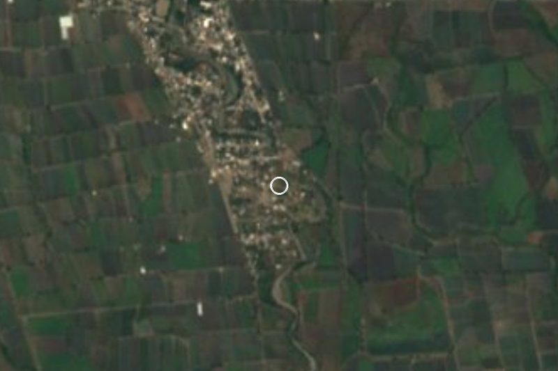
Near Quebrantadero

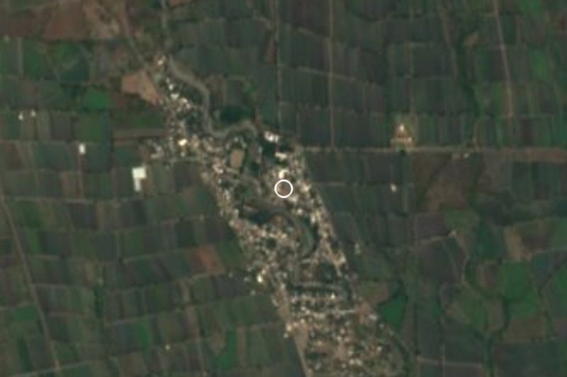

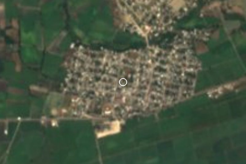
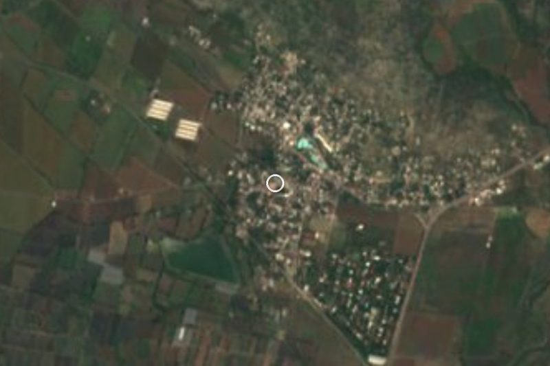
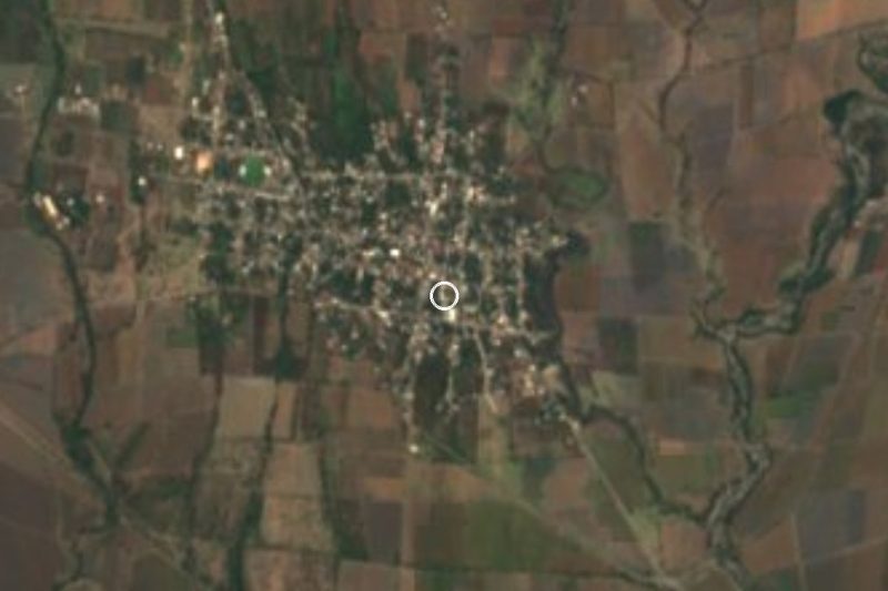



Drive times by road from OpenStreetMap, without traffic. Times marked ~ are estimated from the straight-line distance.
Location from OpenStreetMap. Written by Puebloteca.