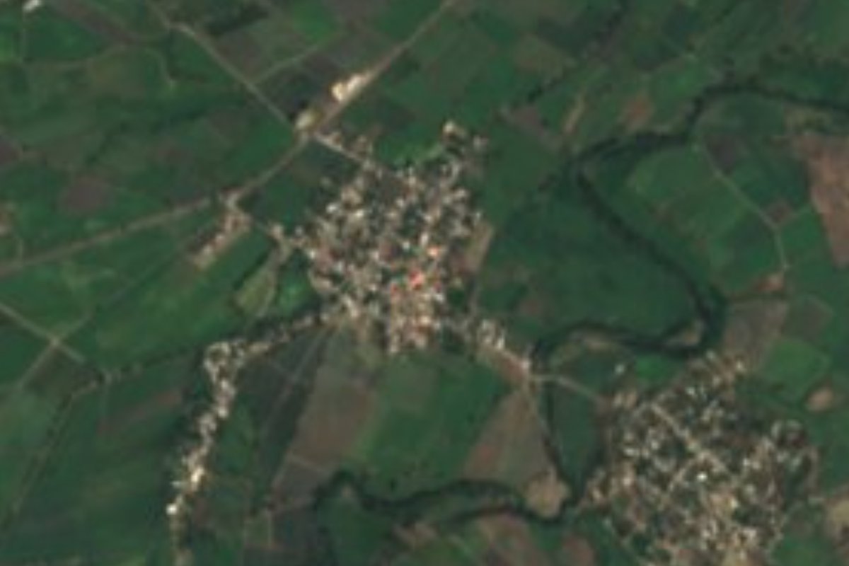
Village Chietla, Puebla Municipality of Chietla Mixteca Poblana
Warm village of Chietla, "place of the little ahuehuetes", at 1,046 m among farm fields, 9 km from town and close to Morelos.
From Atlixco: 1 h by car (61 km by road) How to get there ↓
Near here
See everything nearby ↓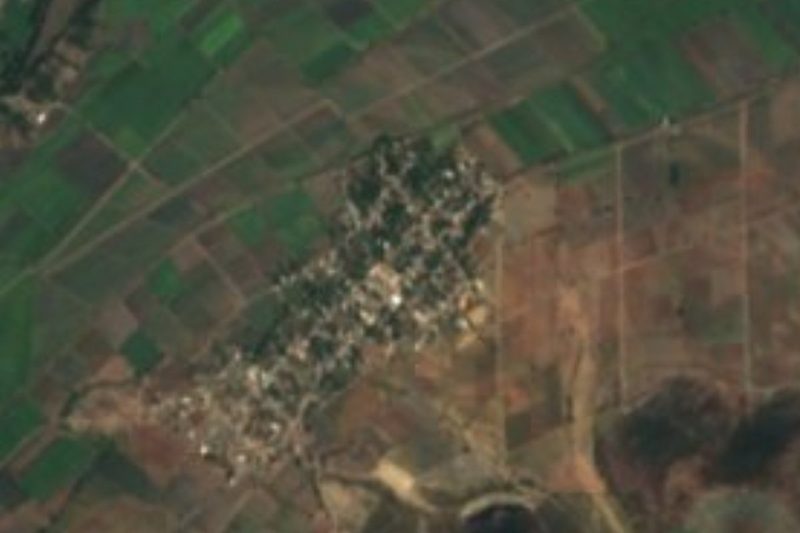


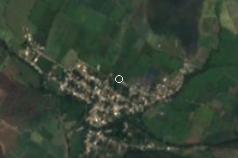
Plan your visit to Ahuehuetzingo
Where to stay near Ahuehuetzingo
Compare hotels, posadas and guest houses in Ahuehuetzingo.
Tours to Ahuehuetzingo
Day trips and guided outings from Atlixco often include Ahuehuetzingo; with a local guide you can get there without a car.
 Tours from Atlixco
Atlixco Volcano Views Popocatépetl Tour Forest Route
From US$108
How to get to Ahuehuetzingo
- From Atlixco: about 1 h by road (~61 km)
- Nearest airport: Puebla (PBC), 41 min by car to Atlixco
Links open a partner site. We may earn a commission if you book, at no cost to you.
Tours from Atlixco, near Ahuehuetzingo
Tours, prices and ratings from Viator, checked weekly. We may earn a commission if you book.
About Ahuehuetzingo
In ten years Ahuehuetzingo went from piped water in under a quarter of its homes to nearly all of them: 24% in 2010, 99.7% in 2020. That year the village had 1,015 residents, 540 women and 475 men, up from 960 a decade earlier. It lies at 1,046 m, about 4.3 km in a straight line southwest of Chietla, in the southwestern corner of Puebla where the state meets Morelos. The name joins ahuehuetl, Mexico's national tree, the diminutive tzin and the locative co: "place of the little ahuehuetes".
The climate is hot. The village averages around 24 °C, April is the warmest month and the roughly 800 mm of rain falls mostly in summer; across nearly all the municipality the climate is warm and subhumid. Chietla belongs to the Balsas basin, with the Atoyac and Nexapa as its main rivers and year-round streams such as the Ahuello, Atila, El Muerto and the Grande, or San Francisco. About half the municipality keeps its tropical forest and much of the rest is farmed. The municipality covers 326.5 km², ranges from 960 to 2,000 m, has 48 localities and belongs to the Valle de Atlixco y Matamoros region.
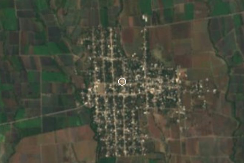
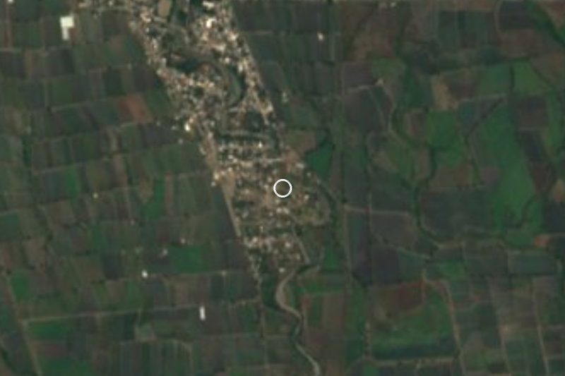
Around the village are small hamlets such as El Capire and Don Roque, less than a kilometre away, and bigger places like Escape de Lagunillas, with over 4,600 people, 2.8 km north, and Buenavista de Benito Juárez, 2.9 km east. To the south, 6 km away, rises Cerro El Campanario, at 1,423 m. There is no lodging in the village; the nearest hotels are 4 or 5 km away toward Escape de Lagunillas, and for food there are fondas, pozole and taco stands and even Chinese food in Atencingo and Escape de Lagunillas, about 2.5 km off. Local cooking relies on mole poblano, pipián and tamales, with seed jamoncillo, masa or granillo atole and chocolate. In 2020, one in three homes had internet.
How to get to Ahuehuetzingo
Drive from Atlixco: 1 h, 61 km
From Puebla city it is about 93 km and around 1 h 30 min by car: highway 190D to Atlixco, federal 190 to Izúcar de Matamoros and then state road PUE 31 toward Chietla. From Izúcar to the village is 25 km (about 30 minutes) and from Chietla 9 km (about 12 minutes), all on PUE 31. There is no direct bus from the CAPU to Chietla: the usual way is a bus to Izúcar de Matamoros, about an hour, then local transport or a taxi. We found no published shared-van timetable to Ahuehuetzingo. Cuautla, Morelos, is about 50 km in a straight line.
Directions to Ahuehuetzingo on Google Maps
Distances are in a straight line; the road is usually longer.
Links open a partner site. We may earn a commission if you book, at no cost to you.
From the nearest cities to Ahuehuetzingo
Drive times by road from OpenStreetMap, without traffic or stops. Times marked ~ are estimated from the straight-line distance.
Visiting Ahuehuetzingo: what to see and do
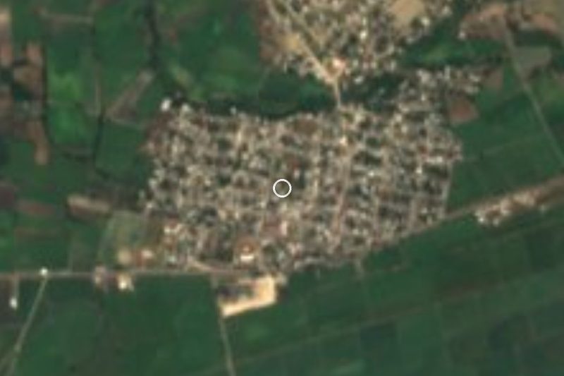
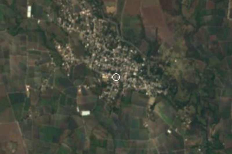
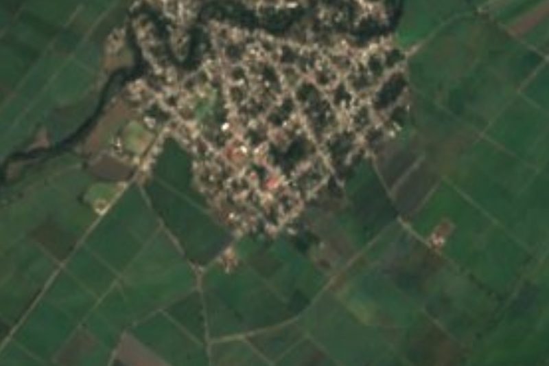
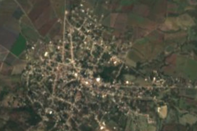
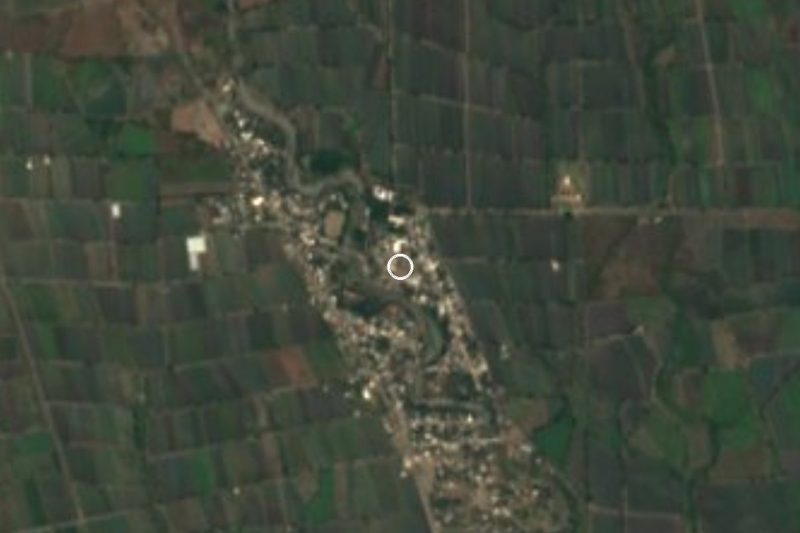
Ahuehuetzingo village among farm fields.
Cerro El Campanario (1,423 m), 6 km south.
Atencingo and Escape de Lagunillas, neighbours with shops and food.
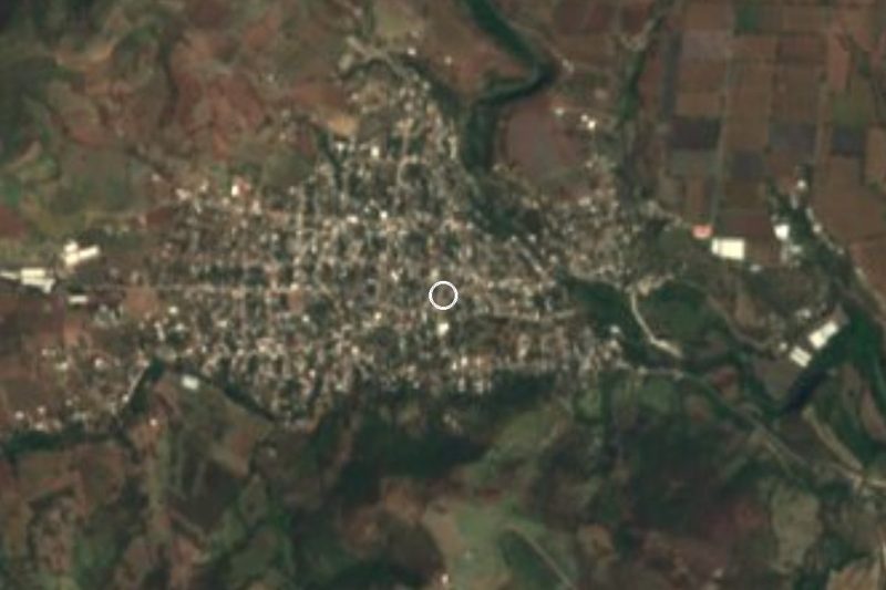
Chietla, the municipal seat, 9 km away on PUE 31.
Plan your trip
Places to stay in Ahuehuetzingo
Compare hotels, posadas, and rentals in and around Ahuehuetzingo.
Tours & activities
Day trips and guided outings from Atlixco often include Ahuehuetzingo; with a local guide you can get there without a car.
Rental cars
Pick up a car at PBC (Puebla): about 41 min by road to Atlixco, then 52 km more to Ahuehuetzingo, on your own schedule.
Flights
The nearest airport with scheduled flights is Puebla (PBC), about 41 min by road from Atlixco, the base for Ahuehuetzingo.
Mobile data
Signal can drop away from Atlixco: download a map of the way to Ahuehuetzingo before you set out, or carry an eSIM with data.
Links open a partner site. We may earn a commission if you book, at no cost to you.
When to go to Ahuehuetzingo mild
Ahuehuetzingo shares the climate of Atlixco, 52 km away. The best months to visit are January, February, March, and December.
See the month-by-month climate of Atlixco
Weather in Ahuehuetzingo now and the next 7 days
Live forecast from Open-Meteo. Chance of rain is the day's highest.
The closest Pueblo Mágico: Atlixco

Atlixco is the Pueblo Mágico closest to Ahuehuetzingo, with places to stay, food, and more to see.
Also close to
- Tlaltizapán · Morelos · 58 km away
- Tlayacapan · Morelos · 63 km away
- Cholula · Puebla · 72 km away
- Tepoztlán · Morelos · 74 km away
- Huejotzingo · Puebla · 79 km away
Closest to Ahuehuetzingo
-
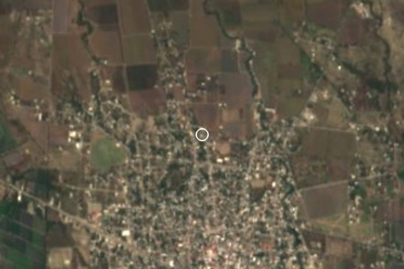
Buenavista de Benito Juárez · Village · 3 km away
-
Escape de Lagunillas · Village · 3 km away
-
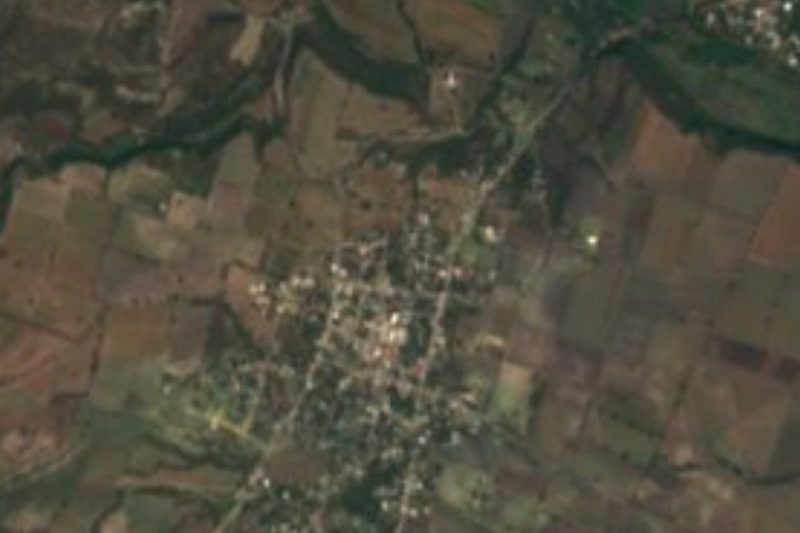
Atencingo · Town · 4 km away
-
Chietla · Town · 7 km away
-
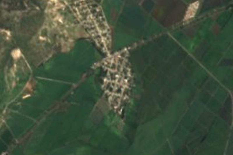
Tlancualpican · Village · 9 km away
-
Atzala · Village · 11 km away
-
Atlacahualoya · Village · 12 km away
-
Axochiapan · Village · 12 km away

Near Ahuehuetzingo



Drive times by road from OpenStreetMap, without traffic. Times marked ~ are estimated from the straight-line distance.
Location from OpenStreetMap. Written by Puebloteca.