Village Izúcar de Matamoros, Puebla Municipality of Izúcar de Matamoros Mixteca Poblana
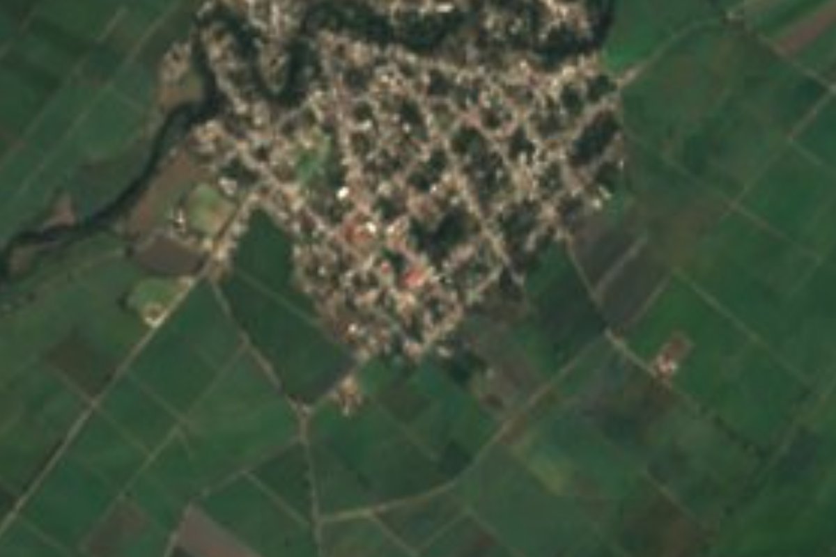
Sugar-cane village of Izúcar de Matamoros, at 1,197 metres in the hot Nexapa River valley; 3,459 people in 2020.
From Atlixco: 50 min by car (48 km by road) How to get there ↓
Near here
See everything nearby ↓


Plan your visit to San Felipe Ayutla
Where to stay near San Felipe Ayutla
Compare hotels, posadas and guest houses in San Felipe Ayutla.
Tours to San Felipe Ayutla
Day trips and guided outings from Atlixco often include San Felipe Ayutla; with a local guide you can get there without a car.
How to get to San Felipe Ayutla
- From Atlixco: about 50 min by road (~48 km)
- Nearest airport: Puebla (PBC), 41 min by car to Atlixco
Links open a partner site. We may earn a commission if you book, at no cost to you.
About San Felipe Ayutla
With 3,459 residents in 2020, Ayutla is a sizeable community in the municipality of Izúcar de Matamoros, Puebla's sixth-largest municipality by area. The village sits at 1,197 metres, lower than the average of the Matamoros valley, the plain that slopes down from the foot of the Sierra Nevada and is crossed by the Nexapa River, a tributary of the Atoyac. Ten years earlier, in 2010, the census had counted 3,162 people, with more women (1,700) than men (1,462).
This is hot country: the municipality records average temperatures between 18 and 26 degrees and 700 to 900 millimetres of rain, nearly all in summer, and more than half its area is still low tropical forest. What keeps the local economy going, according to the municipal description, is sugar cane, watered by aqueducts and canals that share out the valley's water. To the south the land breaks up into the foothills of the Sierra Mixteca, with hills such as Tecolhuixtle, Cerro Grande and Tlacote, where lime is quarried.
Much of Ayutla's life turns towards the municipal seat a few kilometres away, with its churches, market and a fountain carved by hand from a single block of stone that INEGI lists among its monuments. Regional cooking features traditional mole, green pipián made with squash seeds, bean tamales and pozole, and sweets such as alegría, palanqueta and pumpkin-seed jamoncillo. Brass bands, made up mostly of farmers who learn by ear, play at the festivals.
How to get to San Felipe Ayutla
Drive from Atlixco: 50 min, 48 km
Ayutla is about 64 kilometres south-west of Puebla city as the crow flies, reached by road via Atlixco and Izúcar de Matamoros. Atlixco is 42 kilometres away and Cuautla, in Morelos, 56. From Izúcar it is a short drive on valley roads.
Directions to San Felipe Ayutla on Google Maps
Distances are in a straight line; the road is usually longer.
Links open a partner site. We may earn a commission if you book, at no cost to you.
From the nearest cities to San Felipe Ayutla
- Atlixco · 48 km by road, 50 min
- Cuautla · 67 km by road, 1 h 10 min
- Puebla · 78 km by road, 1 h 20 min
Drive times by road from OpenStreetMap, without traffic or stops. Times marked ~ are estimated from the straight-line distance.
Visiting San Felipe Ayutla: what to see and do
The cane fields and irrigation channels of the Nexapa valley around the village, the Mixteca hills to the south, and in Izúcar de Matamoros its churches and the fountain carved from one piece of stone.
Plan your trip
Places to stay in San Felipe Ayutla
Compare hotels, posadas, and rentals in and around San Felipe Ayutla.
Tours & activities
Day trips and guided outings from Atlixco often include San Felipe Ayutla; with a local guide you can get there without a car.
Rental cars
Pick up a car at PBC (Puebla): about 41 min by road to Atlixco, then 42 km more to San Felipe Ayutla, on your own schedule.
Flights
The nearest airport with scheduled flights is Puebla (PBC), about 41 min by road from Atlixco, the base for San Felipe Ayutla.
Mobile data
Signal can drop away from Atlixco: download a map of the way to San Felipe Ayutla before you set out, or carry an eSIM with data.
Links open a partner site. We may earn a commission if you book, at no cost to you.
When to go to San Felipe Ayutla mild
San Felipe Ayutla shares the climate of Atlixco, 42 km away. The best months to visit are January, February, March, and December.
See the month-by-month climate of Atlixco
Weather in San Felipe Ayutla now and the next 7 days
Live forecast from Open-Meteo. Chance of rain is the day's highest.
The closest Pueblo Mágico: Atlixco

Atlixco is the Pueblo Mágico closest to San Felipe Ayutla, with places to stay, food, and more to see.
Also close to
- Cholula · Puebla · 61 km away
- Tlayacapan · Morelos · 68 km away
- Tlaltizapán · Morelos · 69 km away
- Huejotzingo · Puebla · 70 km away
- Tepoztlán · Morelos · 80 km away
Closest to San Felipe Ayutla
-
San Sebastián Puctla · Village · 4 km away
-
Atzala · Village · 5 km away
-
Casa Blanca (Cuyotliapa) · Village · 5 km away
-
Chietla · Town · 8 km away
-
Izúcar de Matamoros · City · 8 km away
-
San Juan Raboso · Village · 8 km away
-
Atencingo · Town · 11 km away
-
Ahuehuetzingo · Village · 15 km away

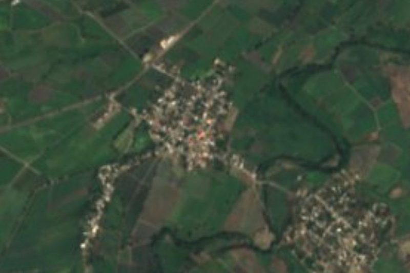
Near San Felipe Ayutla

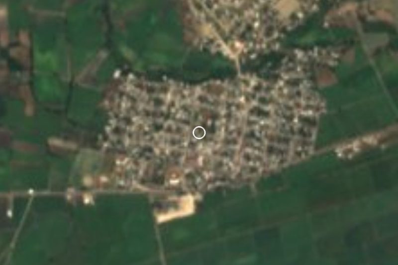


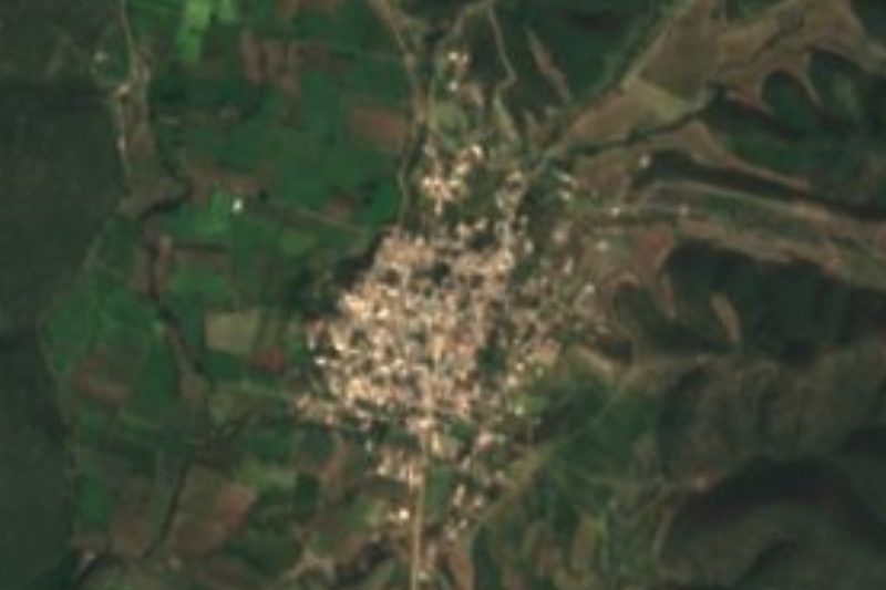
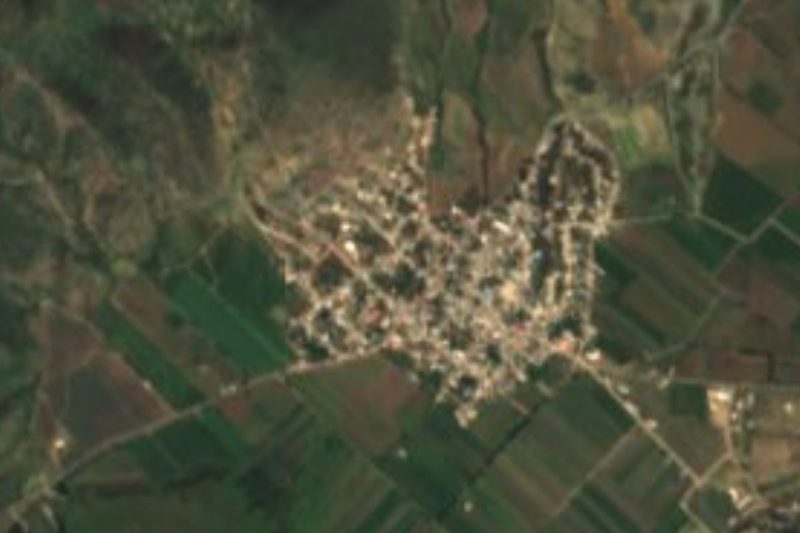
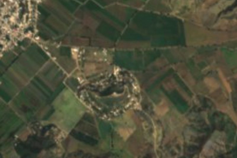


Drive times by road from OpenStreetMap, without traffic. Times marked ~ are estimated from the straight-line distance.
Location from OpenStreetMap. Written by Puebloteca.