Village Tlapanalá, Puebla Mixteca Poblana
A pre-Hispanic temple mound crowned by a Dominican chapel, plus a 16th-century ex-convent, in the irrigated lands of Tlapanalá.
From Atlixco: 35 min by car (34 km by road) How to get there ↓
Near here
See everything nearby ↓


Plan your visit to Tepapayeca
Where to stay near Tepapayeca
Compare hotels, posadas and guest houses in Tepapayeca.
Tours to Tepapayeca
Day trips and guided outings from Atlixco often include Tepapayeca; with a local guide you can get there without a car.
 Tours from Atlixco
Atlixco Volcano Views Popocatépetl Tour Forest Route
From US$108
How to get to Tepapayeca
- From Atlixco: about 35 min by road (~34 km)
- Nearest airport: Puebla (PBC), 41 min by car to Atlixco
Links open a partner site. We may earn a commission if you book, at no cost to you.
Tours from Atlixco, near Tepapayeca
Tours, prices and ratings from Viator, checked weekly. We may earn a commission if you book.
About Tepapayeca
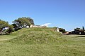
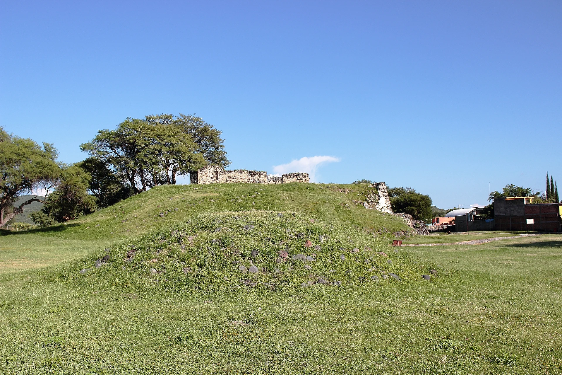
On top of Tepapayeca's main temple, a grass-covered stone mound, the walls of a chapel still stand; the Dominicans built it in the 17th century from the material of the ancient buildings, as a sign of the new faith. The ceremonial centre had five buildings; today you can see the main temple and, in the patio, a small pyramid, while the rest lies under the village houses. Locals say Ometeotl, the dual god, was worshipped here, but excavations turned up a fragment of a Tlaloc sculpture, suggesting the two shared the temple.
The site was settled around the year 1200, drawn by water and fertile land. Its pottery shows it sat on trade routes running from the Gulf to the southeast, and that its people were closer to the Mixtecs of Oaxaca than to their neighbours in Tlaxcala and Puebla. Shortly before the Conquest the Triple Alliance took it over to wrest that route from Mixtec control and left a strong garrison here. In the 16th century Paso y Troncoso described it as temperate land beside a river feeding many irrigation channels, with Castilian fruit trees and a shortage of firewood, which was brought from the volcano five leagues away. The ex-convent of the Purificación de Santa María dates from that era; both pyramid and convent were badly damaged in the September 2017 earthquakes.
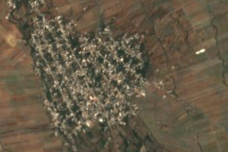
Tepapayeca belongs to the municipality of Tlapanalá, in the sugarcane country near Izúcar de Matamoros, and had 1,670 residents in 2020 at about 1,362 metres. The panel translates its name as "soil close to stone walls" or "good and calm place". People live from farming and trade; the municipality grows sugarcane, peanuts, beans and sorghum. In 2013 INAH approved the project "Tepapayeca: timeless garrison of exchange and faith", which produced the book on Tlapanalá's history.
How to get to Tepapayeca
Drive from Atlixco: 35 min, 34 km
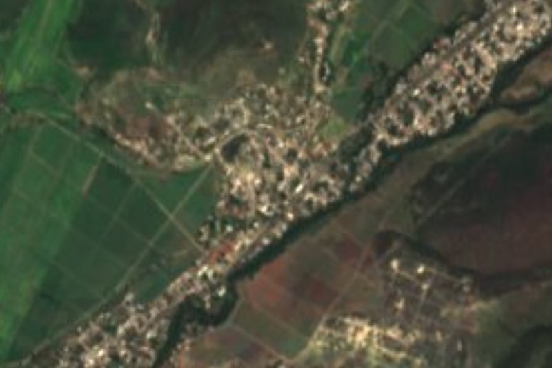
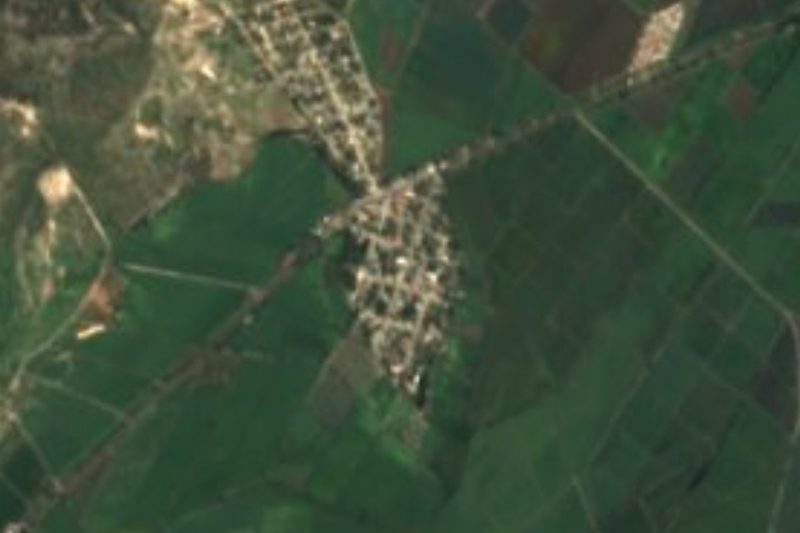
Tepapayeca lies about 53 km in a straight line from Puebla city, 29 km from Atlixco and 47 km from Cuautla. Take the Atlixco–Izúcar de Matamoros road and turn off toward Tlapanalá; the village and its archaeological site are in that same municipality, among cane fields.
Directions to Tepapayeca on Google Maps
Distances are in a straight line; the road is usually longer.
Links open a partner site. We may earn a commission if you book, at no cost to you.
From the nearest cities to Tepapayeca
Drive times by road from OpenStreetMap, without traffic or stops. Times marked ~ are estimated from the straight-line distance.
Visiting Tepapayeca: what to see and do
The main temple with the Dominican chapel walls on top.
The small patio pyramid and the INAH panel that explains the site.
The 16th-century ex-convent of the Purificación de Santa María.
In Tlapanalá, a few kilometres off, the church of Santo Tomás de Aquino and the Ojo del Carbón spring pool.
Plan your trip
Places to stay in Tepapayeca
Compare hotels, posadas, and rentals in and around Tepapayeca.
Tours & activities
Day trips and guided outings from Atlixco often include Tepapayeca; with a local guide you can get there without a car.
Rental cars
Pick up a car at PBC (Puebla): about 41 min by road to Atlixco, then 29 km more to Tepapayeca, on your own schedule.
Flights
The nearest airport with scheduled flights is Puebla (PBC), about 41 min by road from Atlixco, the base for Tepapayeca.
Mobile data
Signal can drop away from Atlixco: download a map of the way to Tepapayeca before you set out, or carry an eSIM with data.
Links open a partner site. We may earn a commission if you book, at no cost to you.
When to go to Tepapayeca mild
Tepapayeca shares the climate of Atlixco, 29 km away. The best months to visit are January, February, March, and December.
See the month-by-month climate of Atlixco
Weather in Tepapayeca now and the next 7 days
Live forecast from Open-Meteo. Chance of rain is the day's highest.
The closest Pueblo Mágico: Atlixco

Atlixco is the Pueblo Mágico closest to Tepapayeca, with places to stay, food, and more to see.
Also close to
- Cholula · Puebla · 49 km away
- Huejotzingo · Puebla · 56 km away
- Tlayacapan · Morelos · 57 km away
- Tlaltizapán · Morelos · 64 km away
- Tepoztlán · Morelos · 69 km away
Closest to Tepapayeca
-
Tlapanalá · Village · 3 km away
-
La Galarza · Village · 8 km away
-
Casa Blanca (Cuyotliapa) · Village · 10 km away
-
Izúcar de Matamoros · City · 10 km away
-
Tepeojuma · Village · 10 km away
-
Huaquechula · Town · 11 km away
-
Atzala · Village · 14 km away
-
Cacaloxúchitl · Village · 14 km away
Near Tepapayeca



Drive times by road from OpenStreetMap, without traffic. Times marked ~ are estimated from the straight-line distance.
Location from OpenStreetMap. Written by Puebloteca.