Village Tilapa, Puebla Mixteca Poblana
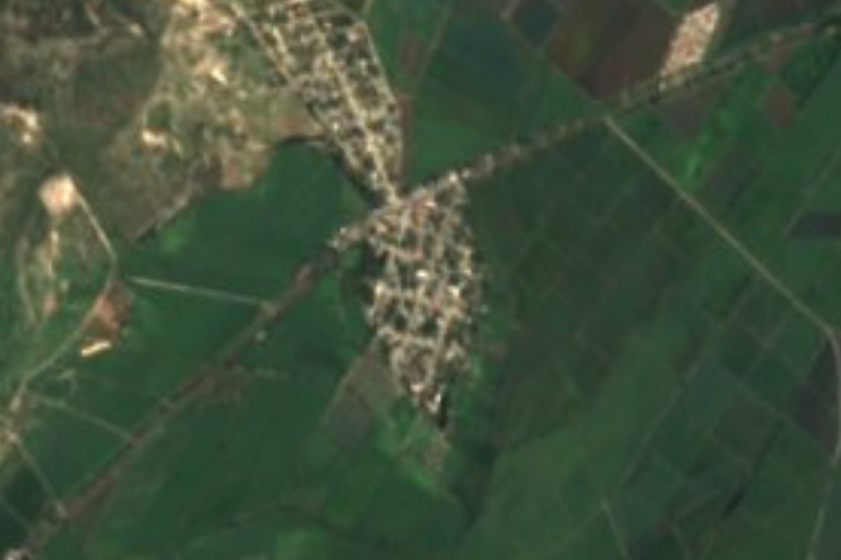
Warm Tilapa village, also called Cuyotliapa, beside the Izúcar–Amayuca road and an old rail line in the Matamoros valley.
From Atlixco: 40 min by car (42 km by road) How to get there ↓
Near here
See everything nearby ↓


Plan your visit to Casa Blanca (Cuyotliapa)
Where to stay near Casa Blanca (Cuyotliapa)
Compare hotels, posadas and guest houses in Casa Blanca (Cuyotliapa).
Tours to Casa Blanca (Cuyotliapa)
Day trips and guided outings from Atlixco often include Casa Blanca (Cuyotliapa); with a local guide you can get there without a car.
 Tours from Atlixco
Atlixco Volcano Views Popocatépetl Tour Forest Route
From US$108
How to get to Casa Blanca (Cuyotliapa)
- From Atlixco: about 40 min by road (~42 km)
- Nearest airport: Puebla (PBC), 41 min by car to Atlixco
Links open a partner site. We may earn a commission if you book, at no cost to you.
Tours from Atlixco, near Casa Blanca (Cuyotliapa)
Tours, prices and ratings from Viator, checked weekly. We may earn a commission if you book.
About Casa Blanca (Cuyotliapa)
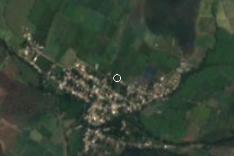
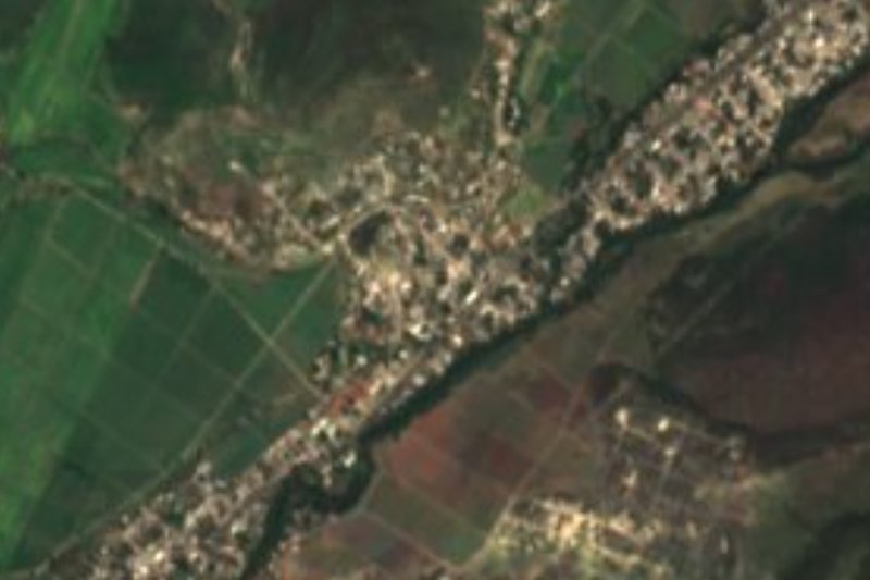
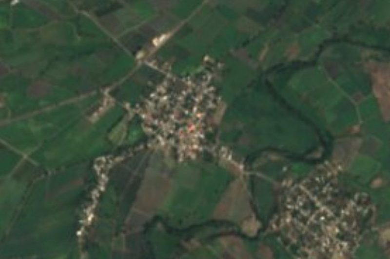
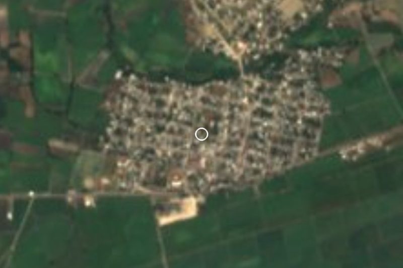
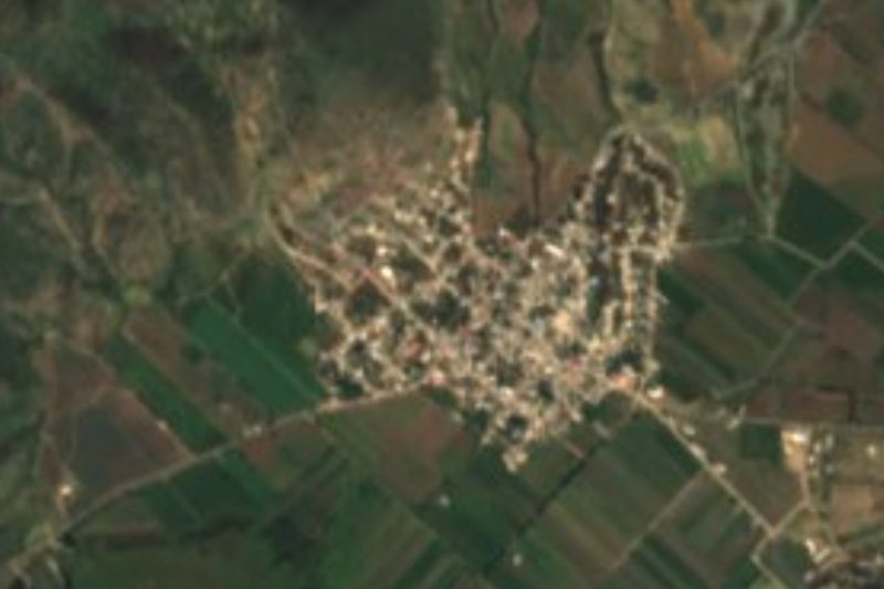
This village goes by two names: the official one, Casa Blanca, and the one the locality register keeps in brackets, Cuyotliapa. With 1,174 residents counted in 2020, it is one of five Tilapa communities besides the municipal seat to pass a thousand people, the others being San Félix Rijo, San Bartolo Cuexpala, Zolonquiapa and Agua Dulce. It sits at 1,241 metres on the eastern edge of the municipality, some 4.7 km east of central Tilapa and close to Izúcar de Matamoros. Zolonquiapa lies about 2 km to the southwest and Agua Dulce about 4 km to the north. State road PUE 31, which links Izúcar with Amayuca across the line in Morelos, runs through the village, and beside it lies the bed of an old railway that is no longer in use.
Tilapa means "black river", from the Nahuatl words tlil and apan. The municipality was created in 1895, covers almost 84 km² and belongs to the farming belt of the Atlixco and Matamoros valleys; its land barely climbs from 1,200 to 1,360 metres. It borders Tepexco, Tlapanalá, Tepeojuma, Izúcar de Matamoros and Chietla. It is warm for much of the year: mean temperatures run from 22 to 26 °C and 800 to 1,000 mm of rain falls, mostly in summer. Water drains to the Nexapa river, a tributary of the Atoyac and so part of the Balsas basin; the Ahuehuello and Atila streams flow all year, while the Acequia and Cocotla only carry water in season.
Almost 56 % of the municipality is farmed and another 40 % is still tropical forest. Vertisols, clay soils that crack open in the dry months, are common, and there are gypsum soils too, with a local gypsum mine. The municipal seat keeps its 16th-century church of San Miguel Arcángel, known for its arch and open every day of the year. Tilapa makes trees of life, its best-known craft, and the kitchen runs on mole poblano, pipián and chileatole, with alegrías, peanut brittle and pumpkin-seed sweets, and corn-dough atole or chocolate to drink. At festivals women dress as china poblana and men in charro suits.
How to get to Casa Blanca (Cuyotliapa)
Drive from Atlixco: 40 min, 42 km
By bus, first get to Izúcar de Matamoros: Autobuses Oro leaves Puebla's CAPU terminal roughly every two hours and takes about an hour. From Izúcar, head west on state road PUE 31 toward Amayuca (Morelos), which runs straight through Casa Blanca a few kilometres out of town. In a straight line the village is about 60 km from Puebla, 37 km from Atlixco and 53 km from Cuautla.
Directions to Casa Blanca (Cuyotliapa) on Google Maps
Distances are in a straight line; the road is usually longer.
Links open a partner site. We may earn a commission if you book, at no cost to you.
From the nearest cities to Casa Blanca (Cuyotliapa)
Drive times by road from OpenStreetMap, without traffic or stops. Times marked ~ are estimated from the straight-line distance.
Visiting Casa Blanca (Cuyotliapa): what to see and do
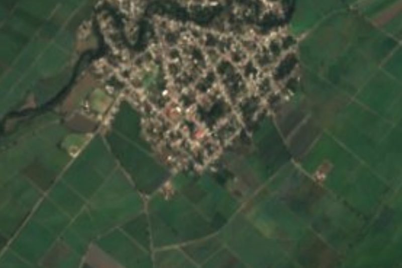
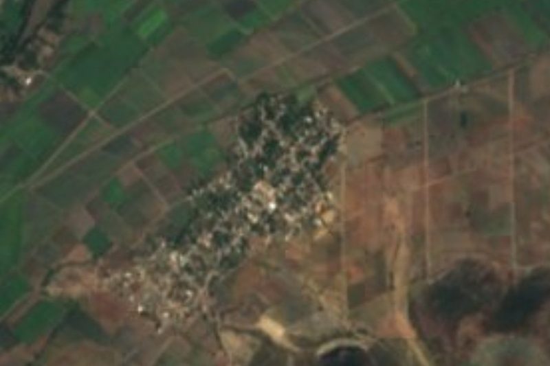
Casa Blanca's houses strung along state road PUE 31.
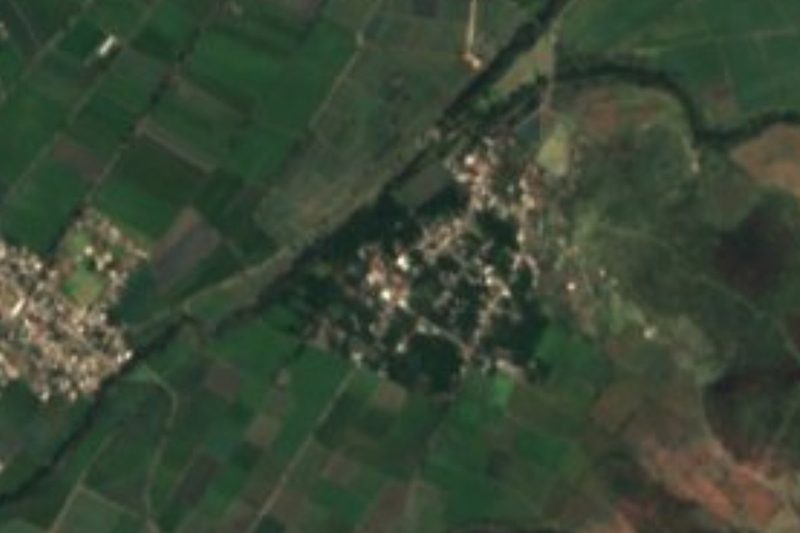
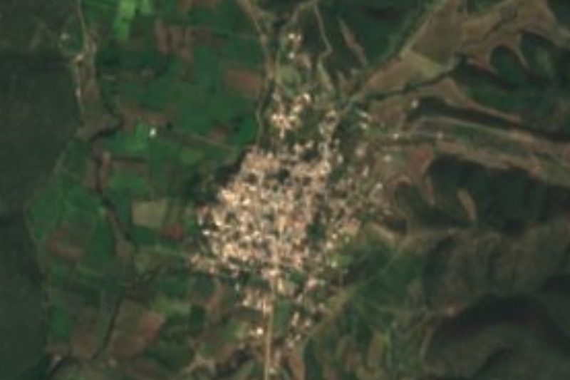
The bed of the old railway that runs past the village.
The 16th-century church of San Miguel Arcángel in central Tilapa, about 5 km away.
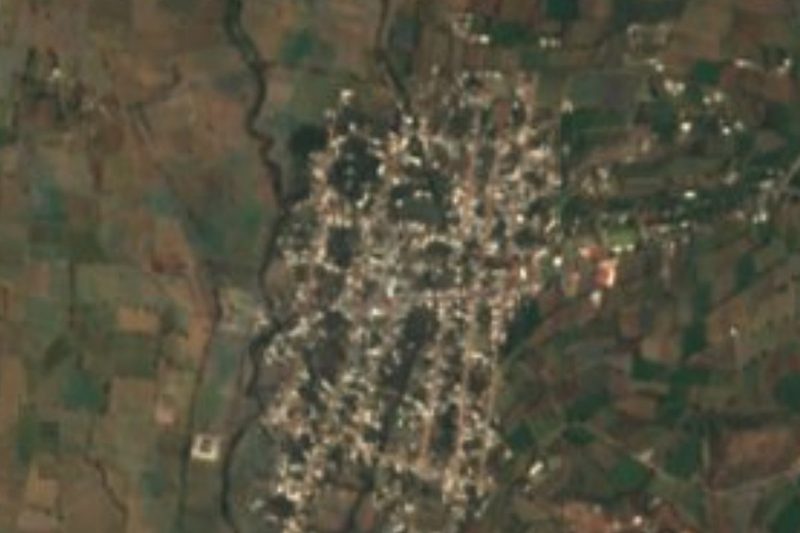
The fields and tropical forest of the Matamoros valley.
Izúcar de Matamoros, the nearest large town.
Plan your trip
Places to stay in Casa Blanca (Cuyotliapa)
Compare hotels, posadas, and rentals in and around Casa Blanca (Cuyotliapa).
Tours & activities
Day trips and guided outings from Atlixco often include Casa Blanca (Cuyotliapa); with a local guide you can get there without a car.
Rental cars
Pick up a car at PBC (Puebla): about 41 min by road to Atlixco, then 37 km more to Casa Blanca (Cuyotliapa), on your own schedule.
Flights
The nearest airport with scheduled flights is Puebla (PBC), about 41 min by road from Atlixco, the base for Casa Blanca (Cuyotliapa).
Mobile data
Signal can drop away from Atlixco: download a map of the way to Casa Blanca (Cuyotliapa) before you set out, or carry an eSIM with data.
Links open a partner site. We may earn a commission if you book, at no cost to you.
When to go to Casa Blanca (Cuyotliapa) mild
Casa Blanca (Cuyotliapa) shares the climate of Atlixco, 37 km away. The best months to visit are January, February, March, and December.
See the month-by-month climate of Atlixco
Weather in Casa Blanca (Cuyotliapa) now and the next 7 days
Live forecast from Open-Meteo. Chance of rain is the day's highest.
The closest Pueblo Mágico: Atlixco

Atlixco is the Pueblo Mágico closest to Casa Blanca (Cuyotliapa), with places to stay, food, and more to see.
Also close to
- Cholula · Puebla · 57 km away
- Tlayacapan · Morelos · 64 km away
- Huejotzingo · Puebla · 65 km away
- Tlaltizapán · Morelos · 67 km away
- Tepoztlán · Morelos · 76 km away
Closest to Casa Blanca (Cuyotliapa)
-
Izúcar de Matamoros · City · 5 km away
-
San Felipe Ayutla · Village · 5 km away
-
San Sebastián Puctla · Village · 5 km away
-
Atzala · Village · 6 km away
-
San Juan Raboso · Village · 8 km away
-
Chietla · Town · 10 km away
-
Tepapayeca · Village · 10 km away
-
La Galarza · Village · 11 km away

Near Casa Blanca (Cuyotliapa)





Drive times by road from OpenStreetMap, without traffic. Times marked ~ are estimated from the straight-line distance.
Location from OpenStreetMap. Written by Puebloteca.