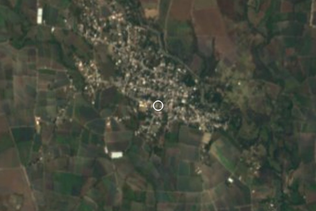
Village Axochiapan, Morelos Municipality of Axochiapan
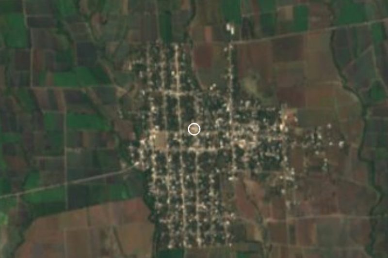
San Miguel Atlacahualoya, third-largest locality in Axochiapan with 3,818 residents: a former parish seat near the Puebla border.
From Cuautla: 45 min by car (48 km by road) How to get there ↓
Near here
See everything nearby ↓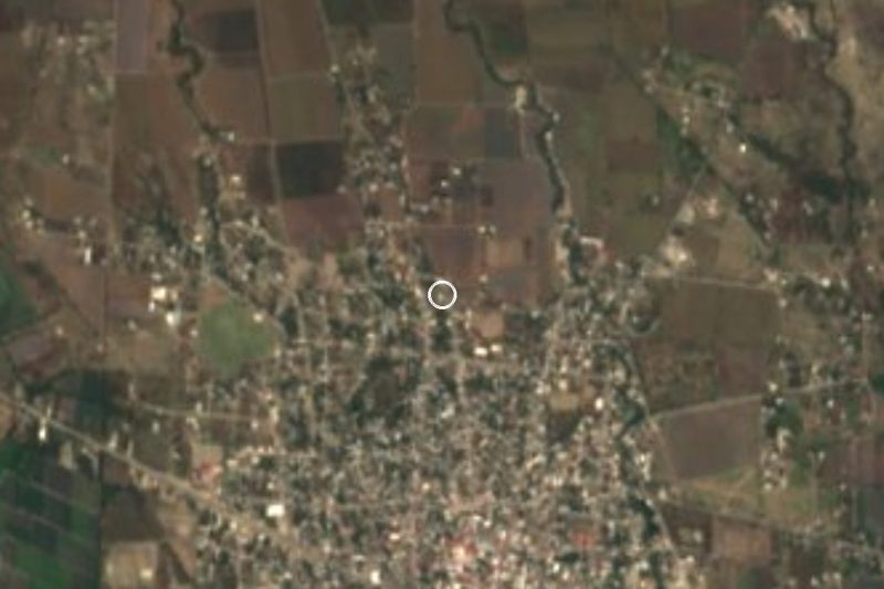
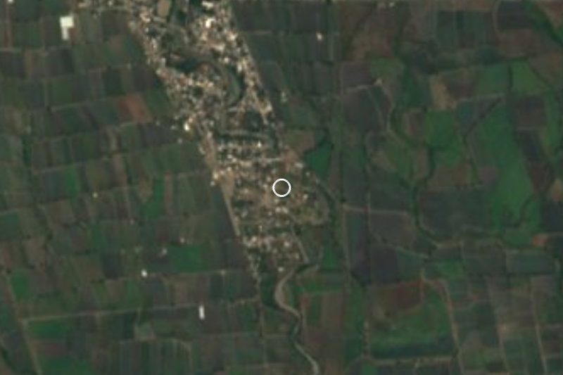

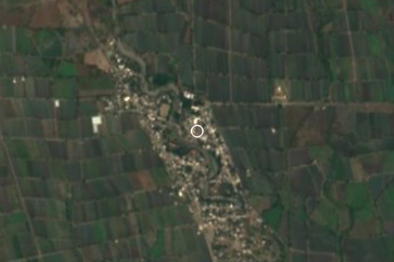

Plan your visit to Atlacahualoya
Where to stay near Atlacahualoya
Compare hotels, posadas and guest houses in Atlacahualoya.
Tours to Atlacahualoya
Day trips and guided outings from Tlaltizapán often include Atlacahualoya; with a local guide you can get there without a car.
 Tours from Atlixco
Atlixco Volcano Views Popocatépetl Tour Forest Route
From US$108
How to get to Atlacahualoya
- From Cuautla: about 45 min by road (~48 km)
- Nearest airport: Mexico City (MEX), 1 h 55 min by car to Tlaltizapán
Links open a partner site. We may earn a commission if you book, at no cost to you.
Tours from Atlixco, near Atlacahualoya
Tours, prices and ratings from Viator, checked weekly. We may earn a commission if you book.
About Atlacahualoya
The name Atlacahualoya comes from Nahuatl: atl (water), tlacahua (to stay or stop) and pan, "place where the water stands still". It is a community in the municipality of Axochiapan, in the far southeast of Morelos, about 4.5 km from the municipal seat and not far from the Puebla state line. In 2020 it had 3,818 residents, making it the third-largest locality in the municipality after Axochiapan (19,085) and Telixtac (5,534), up from 3,100 in 2000.
The best-documented history is religious. In colonial times Atlacahualoyan was one of the towns of the Tlanahua region within the Marquesado del Valle. The parish of San Miguel Atlacahualoyan was established in 1810, with Axochiapan as one of its visitas; when Axochiapan became a municipality in 1898 the parish seat gradually moved there, and by 1920 it was fully in Axochiapan.
The surroundings are farmland. The municipality has a warm climate averaging 22 to 24 °C and a little under 1,000 mm of rain, mostly June to September. Irrigation comes from the Carros and Cayehuacán dams and about 45 deep wells; gypsum is the most important natural resource, and an estimated 30 to 35 percent of the population emigrates to the United States for lack of jobs. Visitors will find a working village rather than a tourist destination: no published information exists on hotels or sights in the village itself.
Within the same municipality, some 5 to 7 km away, are the Axochiapan lagoon and the village of Quebrantadero, with its parish of San José.
How to get to Atlacahualoya
Drive from Cuautla: 45 min, 48 km
Atlacahualoya lies in the southeast of Morelos, about 39 km in a straight line from Cuautla; by road it is about 50 km to Axochiapan, per distancecalculator.net, roughly an hour by car. Leave Cuautla heading south and east toward Jonacatepec and Axochiapan, and from the municipal seat it is about 4.5 km in a straight line to Atlacahualoya.
By bus, Rome2Rio lists a Cuautla to Axochiapan service with hourly departures, 1 h 35 min and 30 to 70 pesos; confirm the line and timetable at the Cuautla bus station. From Mexico City take a bus from the Central del Sur (Terminal Taxqueña) to Cuautla and change there for Axochiapan; the whole trip takes around 5 hours. From the seat, a taxi covers the last stretch.
Tlaltizapán, the nearest pueblo in our guide, is about 46 km away in a straight line. These times come from travel aggregators: confirm schedules with the bus lines.
Directions to Atlacahualoya on Google Maps
Distances are in a straight line; the road is usually longer.
Links open a partner site. We may earn a commission if you book, at no cost to you.
From the nearest cities to Atlacahualoya
- Cuautla · 48 km by road, 45 min
- Atlixco · 73 km by road, 1 h 5 min
- Cuernavaca · 98 km by road, 1 h 25 min
Drive times by road from OpenStreetMap, without traffic or stops. Times marked ~ are estimated from the straight-line distance.
Before you go to Atlacahualoya: hours, prices and tips
- Best season
- The Axochiapan area has most of its rain from June to September; rain is under 1,000 mm a year. Hispanopedia, Municipio de Axochiapan · checked Oct 2026
Hours and prices change, especially around holidays. Each fact links to where we checked it.
Visiting Atlacahualoya: what to see and do
Walk the village streets, once the seat of the parish of San Miguel Atlacahualoyan.
Drive to Axochiapan, about 4.5 km away, for its parish of San Pablo Apóstol.
Look at the Axochiapan lagoon in the rainy season.
Continue to Quebrantadero and its parish of San José.
Plan your trip
Places to stay in Atlacahualoya
Compare hotels, posadas, and rentals in and around Atlacahualoya.
Tours & activities
Day trips and guided outings from Tlaltizapán often include Atlacahualoya; with a local guide you can get there without a car.
Rental cars
Pick up a car at MEX (Mexico City): about 1 h 55 min by road to Tlaltizapán, then 46 km more to Atlacahualoya, on your own schedule.
Flights
The nearest airport with scheduled flights is Mexico City (MEX), about 1 h 55 min by road from Tlaltizapán, the base for Atlacahualoya.
Mobile data
Signal can drop away from Tlaltizapán: download a map of the way to Atlacahualoya before you set out, or carry an eSIM with data.
Links open a partner site. We may earn a commission if you book, at no cost to you.
When to go to Atlacahualoya warm
Atlacahualoya shares the climate of Tlaltizapán, 46 km away. The best months to visit are January, October, November, and December.
See the month-by-month climate of Tlaltizapán
Weather in Atlacahualoya now and the next 7 days
Live forecast from Open-Meteo. Chance of rain is the day's highest.
The closest Pueblo Mágico: Tlaltizapán

Tlaltizapán is the Pueblo Mágico closest to Atlacahualoya, with places to stay, food, and more to see.
Also close to
- Atlixco · Puebla · 52 km away
- Tlayacapan · Morelos · 53 km away
- Tepoztlán · Morelos · 63 km away
- Xochitepec · Morelos · 67 km away
- Cholula · Puebla · 73 km away
Closest to Atlacahualoya
-
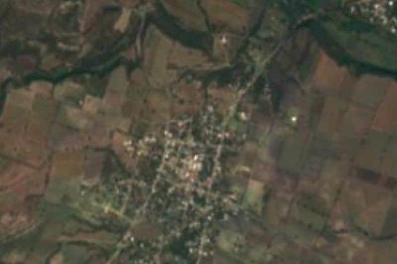
Cuauhtémoc · Village · 4 km away
-
La Nopalera · Village · 4 km away
-
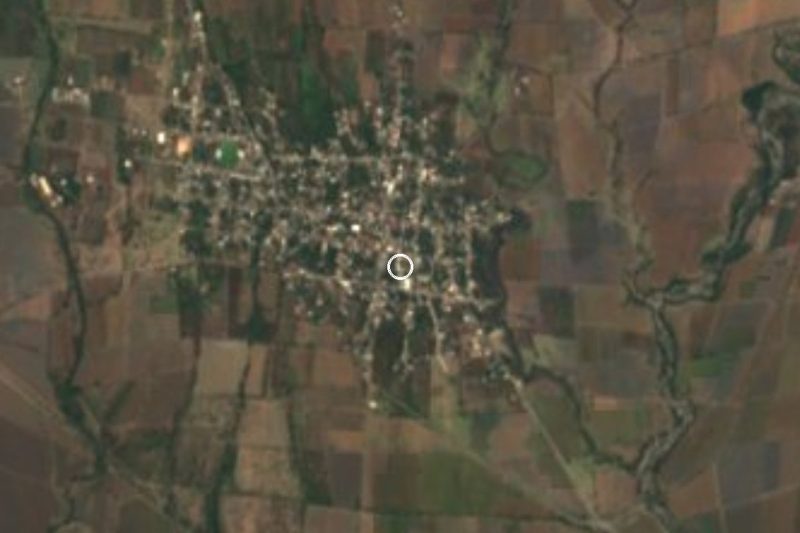
Axochiapan · Village · 5 km away
-
Marcelino Rodríguez · Village · 5 km away
-
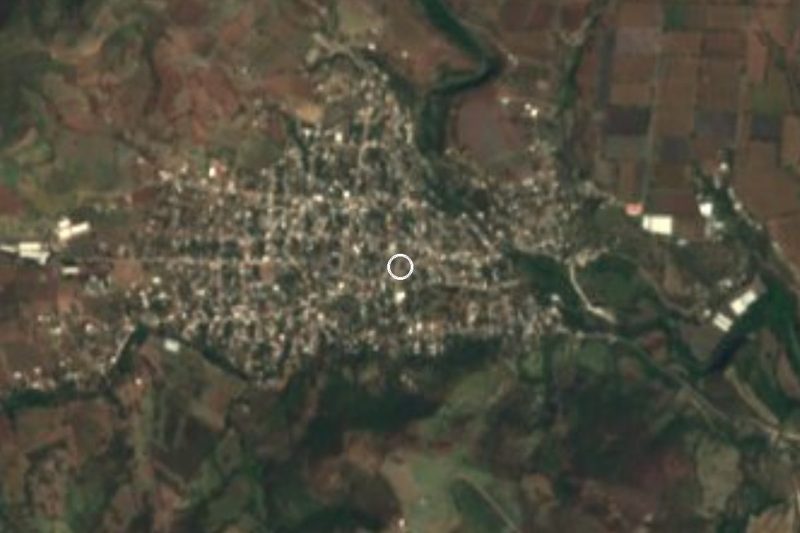
Telixtac · Village · 5 km away
-
Quebrantadero · Village · 7 km away
-
Tenango · Village · 9 km away
-
Teotlalco · Village · 9 km away

Near Atlacahualoya

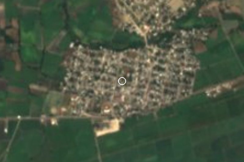



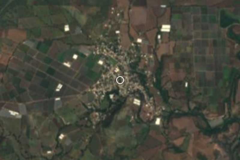
Drive times by road from OpenStreetMap, without traffic. Times marked ~ are estimated from the straight-line distance.
Location from OpenStreetMap. Written by Puebloteca.