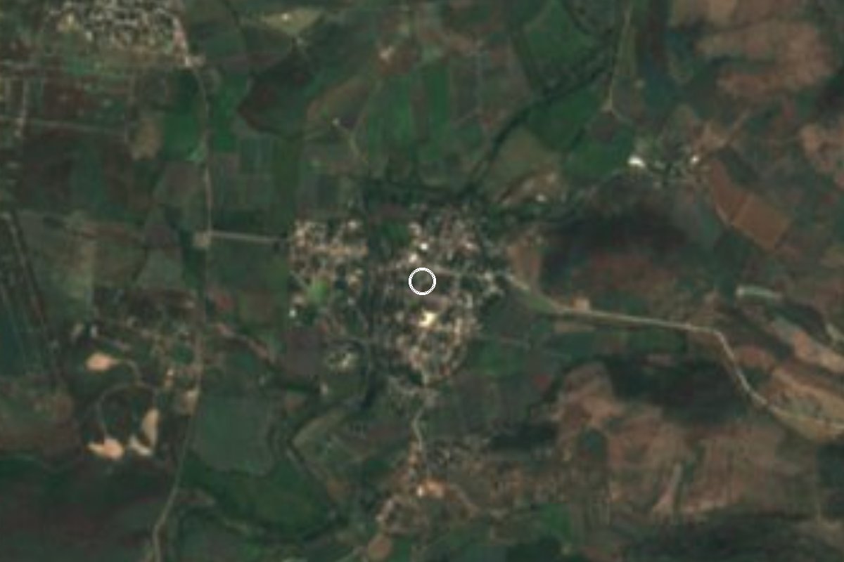
Village Ayala, Morelos Municipality of Ayala Southern Morelos
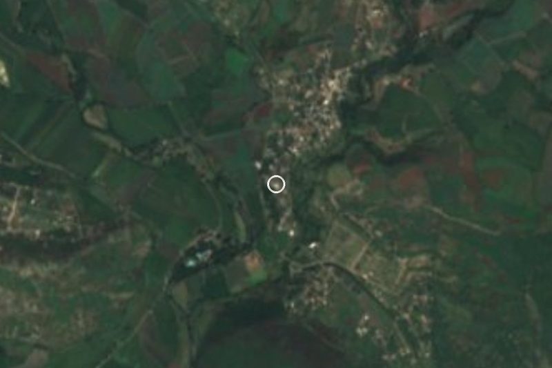
Locality in Ayala, also called Las Piedras, at about 1,070 m, with 1,485 people in 2020 and Saint Vincent de Paul as patron.
From Cuautla: 25 min by car (20 km by road) How to get there ↓
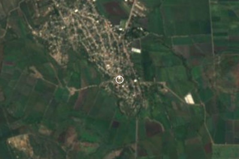
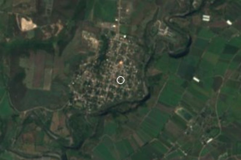
Near here
See everything nearby ↓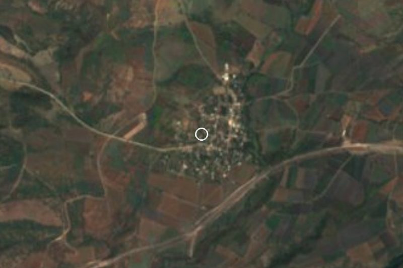
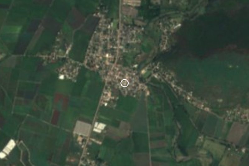
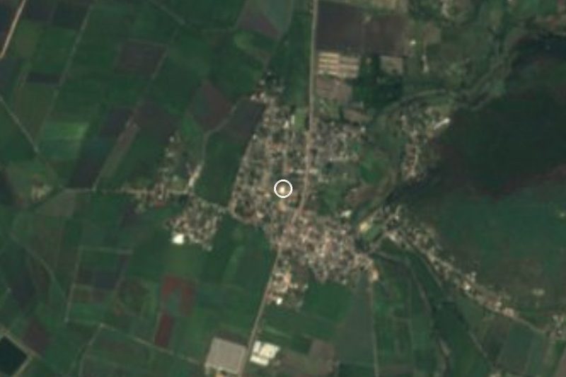

Plan your visit to San Vicente de Juárez
Where to stay near San Vicente de Juárez
Compare hotels, posadas and guest houses in San Vicente de Juárez.
Tours to San Vicente de Juárez
Day trips and guided outings from Tlaltizapán often include San Vicente de Juárez; with a local guide you can get there without a car.
 Tours from Cuernavaca
3hr Cooking Class in Cuernavaca 8 Recipes and Bottomless Drinks
From US$59
How to get to San Vicente de Juárez
- From Cuautla: about 25 min by road (~20 km)
- Nearest airport: Mexico City (MEX), 1 h 55 min by car to Tlaltizapán
Links open a partner site. We may earn a commission if you book, at no cost to you.
Tours from Cuernavaca, near San Vicente de Juárez


Tours, prices and ratings from Viator, checked weekly. We may earn a commission if you book.
About San Vicente de Juárez
Las Piedras is the second name of San Vicente de Juárez, a locality in the municipality of Ayala, Morelos, at about 1,070 metres above sea level. The full name joins its patron, Saint Vincent de Paul, with Benito Juárez, president during the Reform War. It lies about 12 km south of Ciudad Ayala, the municipal seat, and about 9 km south of San Pedro Apatlaco, the municipality's largest locality.
The INEGI census series is long: 179 people in 1900, 282 in 1910, 189 in 1921, 614 in 1960, 1,078 in 1980, 1,339 in 2000, 1,375 in 2010 and 1,485 in 2020. In 2020 there were 436 occupied homes, nearly all with electricity and piped water (99.5%), average schooling was 7.8 years and no one was recorded as indigenous. The Zapata Vive digital archive of El Colegio de México lists a document from April 1914 dated at San Vicente de Juárez (Las Piedras), a trace of the Revolution passing through the village.
The nearest neighbours are Colonia Las Flores, under 1 km away, and Colonia General Emiliano Zapata (El Chivatero), with 562 people, 1.5 km away; farther out are El Salitre (1,355), Tecomalco and Moyotepec (3,949). The climate is hot semi-arid, averaging 23.4 °C with 1,034 mm of rain spread over about 194 days a year; April is the hottest month and January the coolest.
How to get to San Vicente de Juárez
Drive from Cuautla: 25 min, 20 km
San Vicente de Juárez (Las Piedras) is about 12 km south of Ciudad Ayala and about 17 km from Cuautla, Morelos; by car allow roughly 20 minutes from Cuautla (a straight-line estimate). From Cuautla, buses run toward Jojutla, about 1 h 20 min with departures every 10 minutes per Rome2Rio; ask the driver whether it passes nearby and get off at the closest junction, then take a local taxi or colectivo. From Mexico City, Pullman de Morelos reaches Cuautla from its Casino and Centro terminals (confirm times, as adjustments after road blockades were reported in July 2026). By car, reach Cuautla via 160D or 115 and continue south toward Ayala; we did not verify the exact road number or the last stretch. Chinameca is about 7 km to the northeast, and Tlaltizapán de Zapata, the nearest pueblo mágico, about 25 km away (roughly 22 minutes by car).
Directions to San Vicente de Juárez on Google Maps
Distances are in a straight line; the road is usually longer.
Links open a partner site. We may earn a commission if you book, at no cost to you.
From the nearest cities to San Vicente de Juárez
- Cuautla · 20 km by road, 25 min
- Cuernavaca · 70 km by road, 1 h 5 min
- Atlixco · 86 km by road, 1 h 5 min
Drive times by road from OpenStreetMap, without traffic or stops. Times marked ~ are estimated from the straight-line distance.
Visiting San Vicente de Juárez: what to see and do
Tour San Vicente de Juárez, also known as Las Piedras, and notice its farming-village rhythm.
Ask about the fiesta of San Vicente de Paúl, the patron saint.
Walk toward Colonia General Emiliano Zapata (El Chivatero), 1.5 km northwest.
Follow the road to El Salitre, 3 km south.
Pair the visit with the former Chinameca hacienda, about 7 km away.
Plan your trip
Places to stay in San Vicente de Juárez
Compare hotels, posadas, and rentals in and around San Vicente de Juárez.
Tours & activities
Day trips and guided outings from Tlaltizapán often include San Vicente de Juárez; with a local guide you can get there without a car.
Rental cars
Pick up a car at MEX (Mexico City): about 1 h 55 min by road to Tlaltizapán, then 17 km more to San Vicente de Juárez, on your own schedule.
Flights
The nearest airport with scheduled flights is Mexico City (MEX), about 1 h 55 min by road from Tlaltizapán, the base for San Vicente de Juárez.
Mobile data
Signal can drop away from Tlaltizapán: download a map of the way to San Vicente de Juárez before you set out, or carry an eSIM with data.
Links open a partner site. We may earn a commission if you book, at no cost to you.
When to go to San Vicente de Juárez warm
San Vicente de Juárez shares the climate of Tlaltizapán, 17 km away. The best months to visit are January, October, November, and December.
See the month-by-month climate of Tlaltizapán
Weather in San Vicente de Juárez now and the next 7 days
Live forecast from Open-Meteo. Chance of rain is the day's highest.
The closest Pueblo Mágico: Tlaltizapán

Tlaltizapán is the Pueblo Mágico closest to San Vicente de Juárez, with places to stay, food, and more to see.
Also close to
- Tlayacapan · Morelos · 30 km away
- Tepoztlán · Morelos · 36 km away
- Xochitepec · Morelos · 36 km away
- Malinalco · Estado de México · 62 km away
- Atlixco · Puebla · 64 km away
Closest to San Vicente de Juárez
-
El Salitre · Village · 3 km away
-
Moyotepec · Village · 4 km away
-
San Rafael Zaragoza · Village · 5 km away
-
Abelardo L. Rodríguez · Village · 6 km away
-
Olintepec · Village · 6 km away
-
San Juan Ahuehueyo · Village · 6 km away
-
Tenextepango · Village · 6 km away
-
Zacapalco · Village · 6 km away

Near San Vicente de Juárez







Drive times by road from OpenStreetMap, without traffic. Times marked ~ are estimated from the straight-line distance.
Location from OpenStreetMap. Written by Puebloteca.