Village Ocoyucan, Puebla Municipality of Ocoyucan Puebla Valley
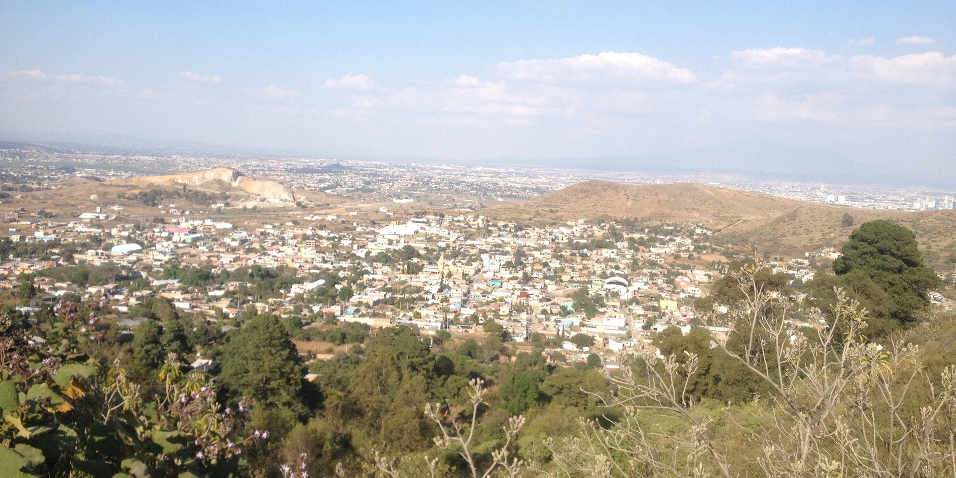
Ocoyucan village tucked inside an old volcanic dome, ringed by hills used for paragliding and one crowned by a church overlooking the Puebla valley.
From Atlixco: 20 min by car (17 km by road) How to get there ↓
Near here
See everything nearby ↓


Plan your visit to San Bernardino Chalchihuapan
Where to stay near San Bernardino Chalchihuapan
Compare hotels, posadas and guest houses in San Bernardino Chalchihuapan.
Tours to San Bernardino Chalchihuapan
Day trips and guided outings from Cholula often include San Bernardino Chalchihuapan; with a local guide you can get there without a car.
How to get to San Bernardino Chalchihuapan
- From Atlixco: about 20 min by road (~17 km)
- Nearest airport: Puebla (PBC), 16 min by car to Cholula
Links open a partner site. We may earn a commission if you book, at no cost to you.
About San Bernardino Chalchihuapan
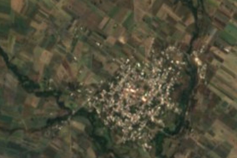
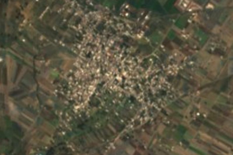
Three of the four sides of San Bernardino Chalchihuapan are closed off by the walls of an ancient volcanic dome, now known as three separate hills. Xitlala, at 2,380 metres, carries microwave antennas and serves as the base of a paragliding association; Cuautenca, just as high, is topped by a church that looks out over the Puebla-Tlaxcala valley; and La Alcantarilla reaches 2,320 metres. Inside that natural amphitheatre, at 2,202 metres, lived 6,031 people in 2020. The village is a junta auxiliar of Ocoyucan and lies in the northern part of the municipality, five kilometres west of Santa Clara Ocoyucan, the seat.
Because it sits on the windward side, clouds drop more rain here than elsewhere in the valley: precipitation reaches about 1,000 mm a year, almost all of it in summer, while winters are dry and the mean temperature is around 16 °C. People make a living from jarciería, the weaving of fibre ropes, cords and scrubbers, a craft that INEGI's compendium also records across Ocoyucan using henequen; they also raise poultry and grow maize and beans. The village has a preschool, morning and afternoon primary schools, a secondary school, a telesecundaria and a high school.
Ocoyucan began as a Nahua settlement next to the great lordships of Cholula and Huejotzingo, belonged to the old Cholula district and became a free municipality in 1895. It covers about 120 km² and borders San Andrés Cholula, Puebla, Teopantlán, Atlixco, Santa Isabel Cholula and San Gregorio Atzompa; it is part of the Puebla-Tlaxcala metropolitan area. A third of the land is still forest and another part grassland, and orchards yield cherimoya, peaches and avocados; brick, roof tiles and honey are also produced. In 2020 the municipality had 42,669 inhabitants, and its fair is held on 12 August.
How to get to San Bernardino Chalchihuapan
Drive from Atlixco: 20 min, 17 km
Chalchihuapan lies about 17 km in a straight line southwest of central Puebla and 10 km from Cholula, separated from it by the hills of the dome. The municipal seat, Santa Clara Ocoyucan, is 5 km to the east. From the capital you reach it via San Andrés Cholula, the neighbouring municipality to the north, a short trip within the metro area.
Directions to San Bernardino Chalchihuapan on Google Maps
Distances are in a straight line; the road is usually longer.
Links open a partner site. We may earn a commission if you book, at no cost to you.
From the nearest cities to San Bernardino Chalchihuapan
- Atlixco · 17 km by road, 20 min
- Puebla · 24 km by road, 30 min
- San Martín Texmelucan · 43 km by road, 45 min
Drive times by road from OpenStreetMap, without traffic or stops. Times marked ~ are estimated from the straight-line distance.
Visiting San Bernardino Chalchihuapan: what to see and do
The best thing is the shape of the place itself: climb one of the hills of the old dome, Cuautenca with its hilltop church and view over the whole valley, or Xitlala, where paragliders take off. Down in the village, look for the rope-making workshops with their cords and scrubbers. The Commons photo here was taken from Ocotzone hill and shows the whole settlement inside the crater.
Plan your trip
Places to stay in San Bernardino Chalchihuapan
Compare hotels, posadas, and rentals in and around San Bernardino Chalchihuapan.
Tours & activities
Day trips and guided outings from Cholula often include San Bernardino Chalchihuapan; with a local guide you can get there without a car.
Rental cars
Pick up a car at PBC (Puebla): about 16 min by road to Cholula, then 10 km more to San Bernardino Chalchihuapan, on your own schedule.
Flights
The nearest airport with scheduled flights is Puebla (PBC), about 16 min by road from Cholula, the base for San Bernardino Chalchihuapan.
Mobile data
Signal can drop away from Cholula: download a map of the way to San Bernardino Chalchihuapan before you set out, or carry an eSIM with data.
Links open a partner site. We may earn a commission if you book, at no cost to you.
When to go to San Bernardino Chalchihuapan mild
San Bernardino Chalchihuapan shares the climate of Cholula, 10 km away. The best months to visit are January, February, March, and December.
See the month-by-month climate of Cholula
Weather in San Bernardino Chalchihuapan now and the next 7 days
Live forecast from Open-Meteo. Chance of rain is the day's highest.
The closest Pueblo Mágico: Cholula

Cholula is the Pueblo Mágico closest to San Bernardino Chalchihuapan, with places to stay, food, and more to see.
Also close to
- Atlixco · Puebla · 12 km away
- Huejotzingo · Puebla · 22 km away
- Ixtenco · Tlaxcala · 52 km away
- Huamantla · Tlaxcala · 58 km away
- Tlayacapan · Morelos · 68 km away
Closest to San Bernardino Chalchihuapan
-
San Bernabé Temoxtitla · Village · 3 km away
-
Chipilo · Town · 4 km away
-
Santa Clara Ocoyucan · Village · 4 km away
-
Lomas de Angelópolis · Village · 5 km away
-
Santa Isabel Cholula · Village · 5 km away
-
Santa María Malacatepec · Village · 5 km away
-
San Antonio Cacalotepec · Village · 6 km away
-
San Francisco Acatepec · Landmark · 6 km away

Near San Bernardino Chalchihuapan






Drive times by road from OpenStreetMap, without traffic. Times marked ~ are estimated from the straight-line distance.
Location from OpenStreetMap. Written by Puebloteca.