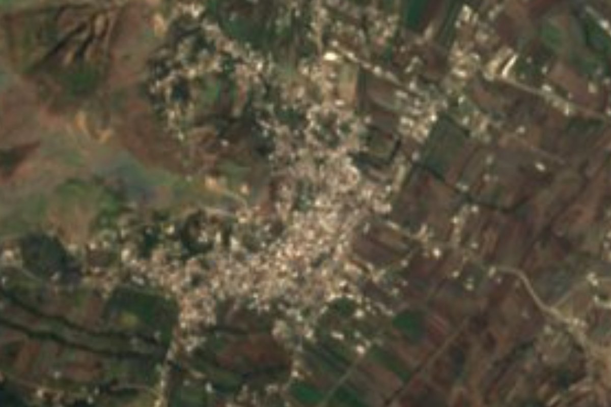
Village Ocoyucan, Puebla Municipality of Ocoyucan Puebla Valley
"On the hill of the spindle": an Ocoyucan village southwest of Puebla, land of cherimoya, honey and henequen scrubbers.
From Atlixco: 20 min by car (19 km by road) How to get there ↓
Near here
See everything nearby ↓


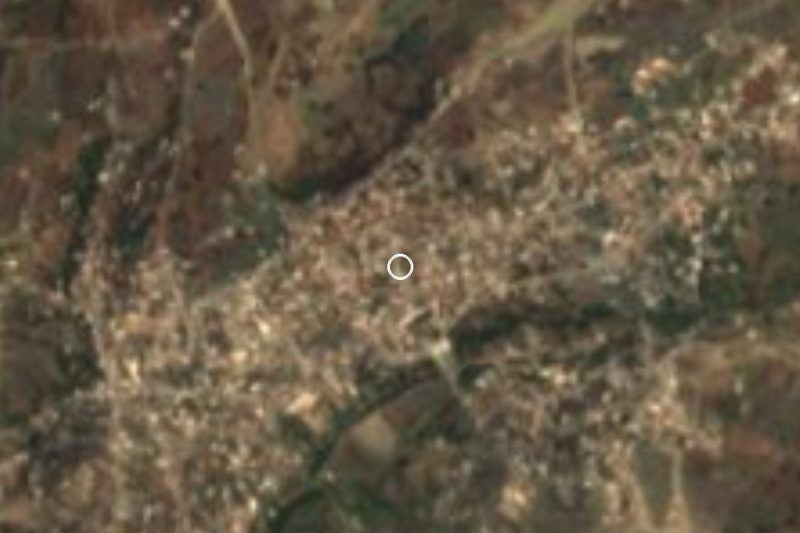
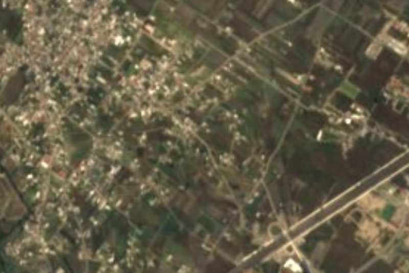

Plan your visit to Santa María Malacatepec
Where to stay near Santa María Malacatepec
Compare hotels, posadas and guest houses in Santa María Malacatepec.
Tours to Santa María Malacatepec
Day trips and guided outings from Cholula often include Santa María Malacatepec; with a local guide you can get there without a car.
 Tours from Atlixco
Atlixco Volcano Views Popocatépetl Tour Forest Route
From US$108
How to get to Santa María Malacatepec
- From Atlixco: about 20 min by road (~19 km)
- Nearest airport: Puebla (PBC), 16 min by car to Cholula
Links open a partner site. We may earn a commission if you book, at no cost to you.
Tours from Atlixco, near Santa María Malacatepec
Tours, prices and ratings from Viator, checked weekly. We may earn a commission if you book.
About Santa María Malacatepec
A malacate is the spindle used for spinning, and Malacatepec combines malacatl, tepetl, hill, and the locative co: "on the hill of the spindle". The village belongs to Ocoyucan, on the southwestern edge of the Puebla-Tlaxcala metropolitan area, about 16 km in a straight line from the centre of the capital and 13 km from Cholula. The 2020 census counted 5,098 residents, and its houses stand at 2,077 m above sea level. It takes its name from the Virgin Mary, its patron saint.
Ocoyucan began as a pre-Hispanic Nahua settlement in the shadow of two great lordships, Cholula and Huejotzingo. It formed part of the old district of Cholula, and in 1895, when the state was reorganised into districts and municipalities, it became a free municipality. Today it covers a little over 120 km² and borders San Andrés Cholula, the capital, Teopantlán, Atlixco, Santa Isabel Cholula and San Gregorio Atzompa. Its seat, Santa Clara Ocoyucan, keeps a 16th-century parish church dedicated to Saint Clare.
Farming still leads: maize and beans, and in the orchards cherimoya, peaches and avocado; there are cattle, pigs, mules and donkeys, backyard poultry and a beekeeping trade that does very well. Henequen is turned into scrubbers, ropes and cord, and bricks and roof tiles are made too. More than a third of the municipality is still forest and nearly a fifth grassland; the Atoyac River crosses it, and average temperatures run from 14 to 20 °C with 800 to 1,000 mm of rain. The municipal fair falls on 12 August, and on 1 November the dance of the tonchis is performed in memory of the dead. On the table: mole poblano, pipián and tamales with chocolate, atole, champurrado and cider.
How to get to Santa María Malacatepec
Drive from Atlixco: 20 min, 19 km
Santa María Malacatepec lies about 16 km in a straight line southwest of central Puebla and 13 km from Cholula, within the municipality of Ocoyucan. Being close to the metropolitan area, it is reached by car or suburban transport from the capital or from San Andrés Cholula.
Directions to Santa María Malacatepec on Google Maps
Distances are in a straight line; the road is usually longer.
Links open a partner site. We may earn a commission if you book, at no cost to you.
From the nearest cities to Santa María Malacatepec
- Atlixco · 19 km by road, 20 min
- Puebla · 21 km by road, 25 min
- San Martín Texmelucan · 52 km by road, 50 min
Drive times by road from OpenStreetMap, without traffic or stops. Times marked ~ are estimated from the straight-line distance.
Visiting Santa María Malacatepec: what to see and do
The village and the hills behind its name.
The 16th-century Santa Clara parish church in the Ocoyucan seat.
The 12 August fair and the dance of the tonchis on 1 November.
Local honey and henequen goods.
Cholula, 13 km away.
Plan your trip
Places to stay in Santa María Malacatepec
Compare hotels, posadas, and rentals in and around Santa María Malacatepec.
Tours & activities
Day trips and guided outings from Cholula often include Santa María Malacatepec; with a local guide you can get there without a car.
Rental cars
Pick up a car at PBC (Puebla): about 16 min by road to Cholula, then 13 km more to Santa María Malacatepec, on your own schedule.
Flights
The nearest airport with scheduled flights is Puebla (PBC), about 16 min by road from Cholula, the base for Santa María Malacatepec.
Mobile data
Signal can drop away from Cholula: download a map of the way to Santa María Malacatepec before you set out, or carry an eSIM with data.
Links open a partner site. We may earn a commission if you book, at no cost to you.
When to go to Santa María Malacatepec mild
Santa María Malacatepec shares the climate of Cholula, 13 km away. The best months to visit are January, February, March, and December.
See the month-by-month climate of Cholula
Weather in Santa María Malacatepec now and the next 7 days
Live forecast from Open-Meteo. Chance of rain is the day's highest.
The closest Pueblo Mágico: Cholula

Cholula is the Pueblo Mágico closest to Santa María Malacatepec, with places to stay, food, and more to see.
Also close to
- Atlixco · Puebla · 14 km away
- Huejotzingo · Puebla · 27 km away
- Ixtenco · Tlaxcala · 52 km away
- Huamantla · Tlaxcala · 57 km away
- Tlayacapan · Morelos · 71 km away
Closest to Santa María Malacatepec
-
Lomas de Angelópolis · Village · 3 km away
-
Santa Clara Ocoyucan · Village · 4 km away
-
San Bernardino Chalchihuapan · Village · 5 km away
-
San Andrés Azumiatla · Village · 7 km away
-
San Antonio Cacalotepec · Village · 7 km away
-
San Bernabé Temoxtitla · Village · 7 km away
-
Chipilo · Town · 8 km away
-
San Francisco Acatepec · Landmark · 9 km away


Near Santa María Malacatepec


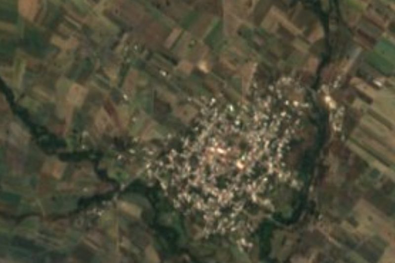


Drive times by road from OpenStreetMap, without traffic. Times marked ~ are estimated from the straight-line distance.
Location from OpenStreetMap. Written by Puebloteca.