
Village Ocoyucan, Puebla Municipality of Ocoyucan Puebla Valley
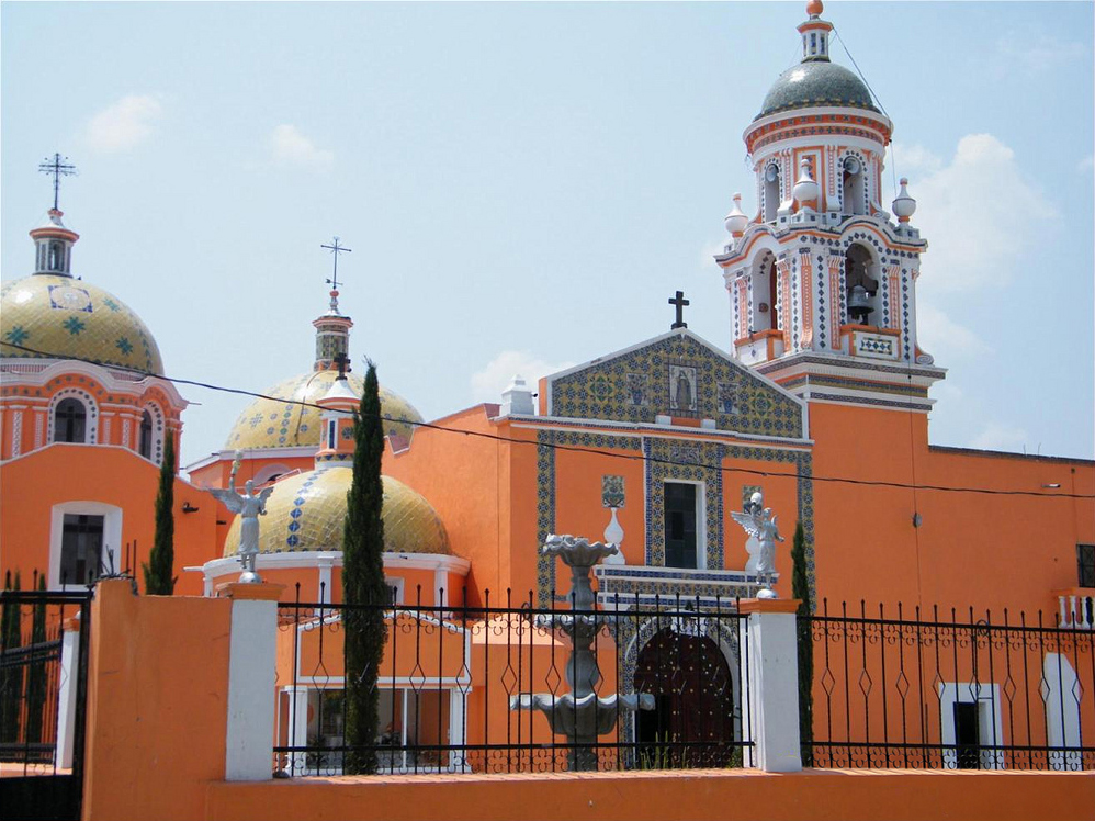
"Place of the owners of ocote pines": seat of Ocoyucan, south of Cholula, with a 16th-century church, henequen, cherimoya and the tonchis dance.
From Puebla: 20 min by car (17 km by road) How to get there ↓
Near here
See everything nearby ↓



Plan your visit to Santa Clara Ocoyucan
Where to stay near Santa Clara Ocoyucan
Compare hotels, posadas and guest houses in Santa Clara Ocoyucan.
Tours to Santa Clara Ocoyucan
Day trips and guided outings from Cholula often include Santa Clara Ocoyucan; with a local guide you can get there without a car.
 Tours from Puebla City
Africam Safari Zoo Admission with Transportation
★ 4.8 (87) · From US$35
How to get to Santa Clara Ocoyucan
- From Puebla: about 20 min by road (~17 km)
- Nearest airport: Puebla (PBC), 16 min by car to Cholula
Links open a partner site. We may earn a commission if you book, at no cost to you.
Tours from Puebla City, near Santa Clara Ocoyucan


Tours, prices and ratings from Viator, checked weekly. We may earn a commission if you book.
About Santa Clara Ocoyucan
Ocoyucan means "place of the owners of ocote pines", from ocotl, the resinous pine, yotl, possessive, and can, upon; and forest still covers more than a third of the municipality (35.24%). The village also bears the name of Saint Clare of Assisi, its patron, and the parish church dedicated to her, with tile-clad domes, dates from the 16th century. It is the seat of Ocoyucan, at 2,103 metres, and in 2020 it was home to 6,098 of the municipality's 42,669 people. It is only 9 km from Cholula and about 13 km from central Puebla, inside the Puebla-Tlaxcala metropolitan area.
It was founded by Nahua groups, neighbours of the great lordship of Cholula and of Huejotzingo. Later it was part of the old Cholula district, and in 1895, when the state was reorganised into districts and municipalities, it became a free municipality. Today it covers 120.17 km² between San Andrés Cholula to the north, the capital to the east, Teopantlán to the south, Atlixco to the southwest, Santa Isabel Cholula to the west and San Gregorio Atzompa to the northwest. The Atoyac, the only permanent river, runs through it, and its waters are split among the sub-basins of the Nexapa, the Atoyac–San Martín Texmelucan and the Manuel Ávila Camacho reservoir. Averages run from 14 to 20 °C, with 800 to 1,000 mm of rain a year.
Farming still leads: maize and beans are sown, and orchards grow cherimoya, peaches and avocados; cattle, mules, donkeys, pigs and backyard poultry are raised, and beekeeping does well. An old manufacturing tradition works henequen: fibre is spun and woven, and cords, ropes and scrubbers are made, alongside brick and roof-tile kilns. The village fair is on 12 August, and on 1 November the tonchis dance is performed in memory of the dead. In the kitchen there is mole poblano, pipián and tamales, with chocolate, atole, champurrado, cacao or cider. Some 1,273 people in the municipality spoke an indigenous language in 2020, mostly Nahuatl.
How to get to Santa Clara Ocoyucan
Drive from Puebla: 20 min, 17 km
Santa Clara lies about 13 km from central Puebla and 9 km from Cholula, just south of the municipality of San Andrés Cholula, which it borders. Head south through the San Andrés area; Atlixco lies further on, beyond the municipality's southwest edge.
Directions to Santa Clara Ocoyucan on Google Maps
Distances are in a straight line; the road is usually longer.
Links open a partner site. We may earn a commission if you book, at no cost to you.
From the nearest cities to Santa Clara Ocoyucan
- Puebla · 17 km by road, 20 min
- Atlixco · 21 km by road, 30 min
- San Martín Texmelucan · 48 km by road, 40 min
Drive times by road from OpenStreetMap, without traffic or stops. Times marked ~ are estimated from the straight-line distance.
Visiting Santa Clara Ocoyucan: what to see and do
The 16th-century parish church of Saint Clare, with tiled domes.
The village fair on 12 August.
The tonchis dance on 1 November.
Henequen cords, ropes and scrubbers.
Orchards of cherimoya, peaches and avocados.
Plan your trip
Places to stay in Santa Clara Ocoyucan
Compare hotels, posadas, and rentals in and around Santa Clara Ocoyucan.
Tours & activities
Day trips and guided outings from Cholula often include Santa Clara Ocoyucan; with a local guide you can get there without a car.
Rental cars
Pick up a car at PBC (Puebla): about 16 min by road to Cholula, then 9 km more to Santa Clara Ocoyucan, on your own schedule.
Flights
The nearest airport with scheduled flights is Puebla (PBC), about 16 min by road from Cholula, the base for Santa Clara Ocoyucan.
Mobile data
Signal can drop away from Cholula: download a map of the way to Santa Clara Ocoyucan before you set out, or carry an eSIM with data.
Links open a partner site. We may earn a commission if you book, at no cost to you.
When to go to Santa Clara Ocoyucan mild
Santa Clara Ocoyucan shares the climate of Cholula, 9 km away. The best months to visit are January, February, March, and December.
See the month-by-month climate of Cholula
Weather in Santa Clara Ocoyucan now and the next 7 days
Live forecast from Open-Meteo. Chance of rain is the day's highest.
The closest Pueblo Mágico: Cholula

Cholula is the Pueblo Mágico closest to Santa Clara Ocoyucan, with places to stay, food, and more to see.
Also close to
- Atlixco · Puebla · 15 km away
- Huejotzingo · Puebla · 23 km away
- Ixtenco · Tlaxcala · 49 km away
- Huamantla · Tlaxcala · 55 km away
- Tlayacapan · Morelos · 72 km away
Closest to Santa Clara Ocoyucan
-
Lomas de Angelópolis · Village · 2 km away
-
San Antonio Cacalotepec · Village · 4 km away
-
San Bernabé Temoxtitla · Village · 4 km away
-
San Bernardino Chalchihuapan · Village · 4 km away
-
Santa María Malacatepec · Village · 4 km away
-
Chipilo · Town · 5 km away
-
San Francisco Acatepec · Landmark · 5 km away
-
San Bernardino Tlaxcalancingo · Landmark · 6 km away


Near Santa Clara Ocoyucan


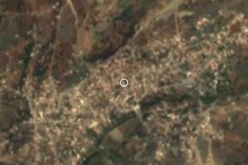


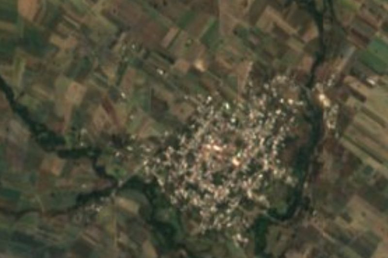


Drive times by road from OpenStreetMap, without traffic. Times marked ~ are estimated from the straight-line distance.
Location from OpenStreetMap. Written by Puebloteca.