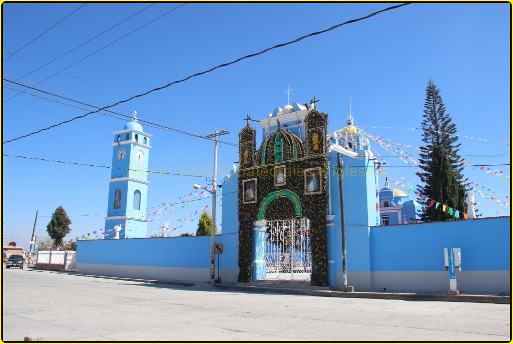
Village San Jerónimo Tecuanipan, Puebla Municipality of San Jerónimo Tecuanipan Volcano Route Puebla Valley
Village of San Jerónimo Tecuanipan 5 km from Cholula, dedicated to the Three Kings; its Nahuatl name means "meeting place".
From Atlixco: 25 min by car (19 km by road) How to get there ↓
Near here
See everything nearby ↓


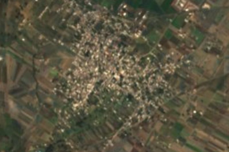


Plan your visit to Los Reyes Tlanechicolpan
Where to stay near Los Reyes Tlanechicolpan
Compare hotels, posadas and guest houses in Los Reyes Tlanechicolpan.
Tours to Los Reyes Tlanechicolpan
Day trips and guided outings from Cholula often include Los Reyes Tlanechicolpan; with a local guide you can get there without a car.
 Tours from Puebla City
Africam Safari Zoo Admission with Transportation
★ 4.8 (87) · From US$35
How to get to Los Reyes Tlanechicolpan
- From Atlixco: about 25 min by road (~19 km)
- Nearest airport: Puebla (PBC), 16 min by car to Cholula
Links open a partner site. We may earn a commission if you book, at no cost to you.
Tours from Puebla City, near Los Reyes Tlanechicolpan


Tours, prices and ratings from Viator, checked weekly. We may earn a commission if you book.
About Los Reyes Tlanechicolpan
Los Reyes Tlanechicolpan is a village in the municipality of San Jerónimo Tecuanipan, in the Cholula valley, about 5 km in a straight line from the Pueblo Mágico of Cholula. Perched at about 2,150 m, it had 2,006 residents in 2020. Its name joins its patrons, the Three Kings, with the Nahuatl Tlanechicolpan, from tlanechicolli, to gather, and pan, on: "meeting place".
The municipality of San Jerónimo Tecuanipan, "where there are fierce animals", was founded in 1895. It is small, about 40 km² at an average of 2,140 m, and borders Calpan, San Pedro Cholula, Nealtican, San Nicolás de los Ranchos, Santa Isabel Cholula, San Gregorio Atzompa and San Andrés Cholula. Within it rises Tecajete, a 2,460 m volcanic cone with a short, steep path up to the crater.
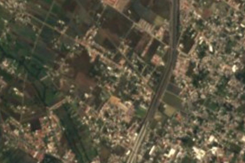
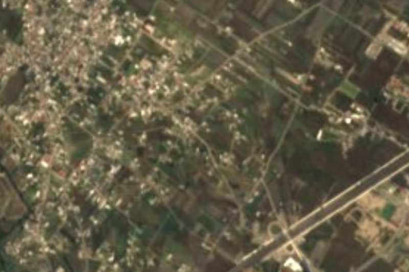
The building that marks the village is the church of Los Reyes, dedicated to its patrons. Tlanechicolpan is one of the ring of villages west of Cholula, among farm fields.
How to get to Los Reyes Tlanechicolpan
Drive from Atlixco: 25 min, 19 km
Los Reyes Tlanechicolpan lies west of Cholula, about 5 km in a straight line, roughly 15 minutes by car. Central Puebla is about 15 km away in a straight line, roughly 35 to 40 minutes depending on traffic.
Directions to Los Reyes Tlanechicolpan on Google Maps
Distances are in a straight line; the road is usually longer.
Links open a partner site. We may earn a commission if you book, at no cost to you.
From the nearest cities to Los Reyes Tlanechicolpan
- Atlixco · 19 km by road, 25 min
- Puebla · 20 km by road, 30 min
- San Martín Texmelucan · 42 km by road, 40 min
Drive times by road from OpenStreetMap, without traffic or stops. Times marked ~ are estimated from the straight-line distance.
Visiting Los Reyes Tlanechicolpan: what to see and do
The church of Los Reyes.
Cerro Tecajete, in the same municipality.
Pair it with Cholula, about 5 km away.
Plan your trip
Places to stay in Los Reyes Tlanechicolpan
Compare hotels, posadas, and rentals in and around Los Reyes Tlanechicolpan.
Tours & activities
Day trips and guided outings from Cholula often include Los Reyes Tlanechicolpan; with a local guide you can get there without a car.
Rental cars
Pick up a car at PBC (Puebla): about 16 min by road to Cholula, then 5 km more to Los Reyes Tlanechicolpan, on your own schedule.
Flights
The nearest airport with scheduled flights is Puebla (PBC), about 16 min by road from Cholula, the base for Los Reyes Tlanechicolpan.
Mobile data
Signal can drop away from Cholula: download a map of the way to Los Reyes Tlanechicolpan before you set out, or carry an eSIM with data.
Links open a partner site. We may earn a commission if you book, at no cost to you.
When to go to Los Reyes Tlanechicolpan mild
Los Reyes Tlanechicolpan shares the climate of Cholula, 5 km away. The best months to visit are January, February, March, and December.
See the month-by-month climate of Cholula
Weather in Los Reyes Tlanechicolpan now and the next 7 days
Live forecast from Open-Meteo. Chance of rain is the day's highest.
The closest Pueblo Mágico: Cholula

Cholula is the Pueblo Mágico closest to Los Reyes Tlanechicolpan, with places to stay, food, and more to see.
Also close to
- Huejotzingo · Puebla · 15 km away
- Atlixco · Puebla · 16 km away
- Ixtenco · Tlaxcala · 50 km away
- Huamantla · Tlaxcala · 55 km away
- Tlayacapan · Morelos · 67 km away
Closest to Los Reyes Tlanechicolpan
-
San Gregorio Atzompa · Village · 0 km away
-
San Gregorio Zacapechpan · Village · 2 km away
-
San Luis Tehuiloyocan · Village · 2 km away
-
Santa María Acuexcomac · Village · 3 km away
-
Santa María Tonantzintla · Landmark · 3 km away
-
Chipilo · Town · 4 km away
-
Cerro Zapotecas · Nature reserve · 5 km away
-
San Bernabé Temoxtitla · Village · 5 km away


Near Los Reyes Tlanechicolpan


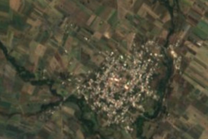


Drive times by road from OpenStreetMap, without traffic. Times marked ~ are estimated from the straight-line distance.
Location from OpenStreetMap. Written by Puebloteca.