Village San Jerónimo Tecuanipan, Puebla Municipality of San Jerónimo Tecuanipan Volcano Route Puebla Valley
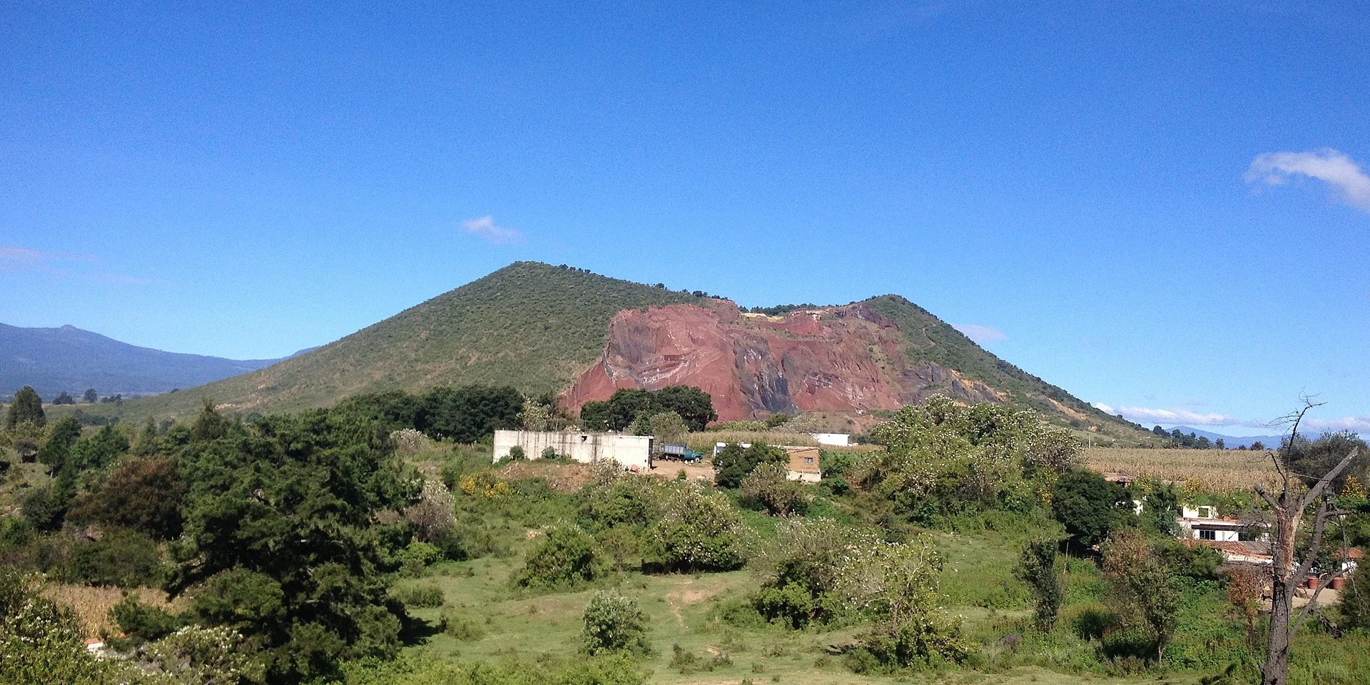
Village at the foot of Cerro Tecajete, in San Jerónimo Tecuanipan, whose residents own the hill and quarry its tezontle.
From Atlixco: 35 min by car (24 km by road) How to get there ↓
Near here
See everything nearby ↓



Plan your visit to San Miguel Papaxtla
Where to stay near San Miguel Papaxtla
Compare hotels, posadas and guest houses in San Miguel Papaxtla.
Tours to San Miguel Papaxtla
Day trips and guided outings from Cholula often include San Miguel Papaxtla; with a local guide you can get there without a car.
 Tours from Atlixco
Atlixco Volcano Views Popocatépetl Tour Forest Route
From US$108
How to get to San Miguel Papaxtla
- From Atlixco: about 35 min by road (~24 km)
- Nearest airport: Puebla (PBC), 16 min by car to Cholula
Links open a partner site. We may earn a commission if you book, at no cost to you.
Tours from Atlixco, near San Miguel Papaxtla
Tours, prices and ratings from Viator, checked weekly. We may earn a commission if you book.
About San Miguel Papaxtla
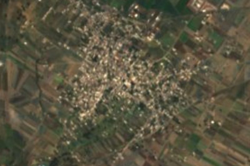
Cerro Tecajete, a 2,460 m cinder cone visible from much of the Puebla valley, has San Miguel Papaxtla at its feet: the village wraps around its south-east side. Papaxtla comes from the Nahuatl papachtli, plural of pachtli, Spanish moss, and tlan, place of plenty: "where Spanish moss abounds"; its patron is Saint Michael the Archangel. It had 1,567 people in 2020 and stands at about 2,240 m.
The village's story is bound up with the hill. Around the 1940s or 1950s, people from Papaxtla bought it and began digging out tezontle, the red volcanic stone used in building. Today there are three quarries, on the north-west, north and east slopes. Because the local council largely follows traditional self-government, the municipality has little control over the quarrying, which has caused environmental damage and at least one death. Even so, Tecajete holds the municipality's only woodland, and villagers use it for walks and grazing; a short, steep path climbs to the crater and its two peaks.
Papaxtla belongs to San Jerónimo Tecuanipan, a municipality of about 40 km² between Cholula and the foothills of the Sierra Nevada, founded in 1895.
How to get to San Miguel Papaxtla
Drive from Atlixco: 35 min, 24 km
San Miguel Papaxtla lies west of Cholula, about 8 km as the crow flies, beside Cerro Tecajete; central Puebla is about 20 km away in a straight line. The path to the crater starts from the village side; keep clear of the tezontle quarry faces.
Directions to San Miguel Papaxtla on Google Maps
Distances are in a straight line; the road is usually longer.
Links open a partner site. We may earn a commission if you book, at no cost to you.
From the nearest cities to San Miguel Papaxtla
- Atlixco · 24 km by road, 35 min
- Puebla · 25 km by road, 35 min
- San Martín Texmelucan · 31 km by road, 35 min
Drive times by road from OpenStreetMap, without traffic or stops. Times marked ~ are estimated from the straight-line distance.
Visiting San Miguel Papaxtla: what to see and do
Cerro Tecajete and the path to its crater.
The view over the Puebla valley from Tecajete's peaks.
Pair it with Cholula, about 8 km away.
Plan your trip
Places to stay in San Miguel Papaxtla
Compare hotels, posadas, and rentals in and around San Miguel Papaxtla.
Tours & activities
Day trips and guided outings from Cholula often include San Miguel Papaxtla; with a local guide you can get there without a car.
Rental cars
Pick up a car at PBC (Puebla): about 16 min by road to Cholula, then 8 km more to San Miguel Papaxtla, on your own schedule.
Flights
The nearest airport with scheduled flights is Puebla (PBC), about 16 min by road from Cholula, the base for San Miguel Papaxtla.
Mobile data
Signal can drop away from Cholula: download a map of the way to San Miguel Papaxtla before you set out, or carry an eSIM with data.
Links open a partner site. We may earn a commission if you book, at no cost to you.
When to go to San Miguel Papaxtla mild
San Miguel Papaxtla shares the climate of Cholula, 8 km away. The best months to visit are January, February, March, and December.
See the month-by-month climate of Cholula
Weather in San Miguel Papaxtla now and the next 7 days
Live forecast from Open-Meteo. Chance of rain is the day's highest.
The closest Pueblo Mágico: Cholula

Cholula is the Pueblo Mágico closest to San Miguel Papaxtla, with places to stay, food, and more to see.
Also close to
- Huejotzingo · Puebla · 11 km away
- Atlixco · Puebla · 17 km away
- Ixtenco · Tlaxcala · 52 km away
- Huamantla · Tlaxcala · 56 km away
- Tlayacapan · Morelos · 63 km away
Closest to San Miguel Papaxtla
-
Tecajete · Mountain · 1 km away
-
San Francisco Cuapan · Village · 2 km away
-
Santa María Acuexcomac · Village · 3 km away
-
San Buenaventura Nealtican · Village · 4 km away
-
San Gregorio Zacapechpan · Village · 4 km away
-
Cerro Zapotecas · Nature reserve · 5 km away
-
Los Reyes Tlanechicolpan · Village · 5 km away
-
San Jerónimo Tecuanipan · Village · 5 km away

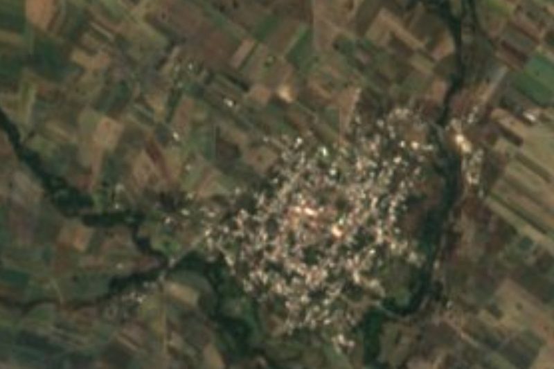
Near San Miguel Papaxtla


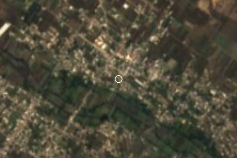


Drive times by road from OpenStreetMap, without traffic. Times marked ~ are estimated from the straight-line distance.
Location from OpenStreetMap. Written by Puebloteca.