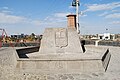
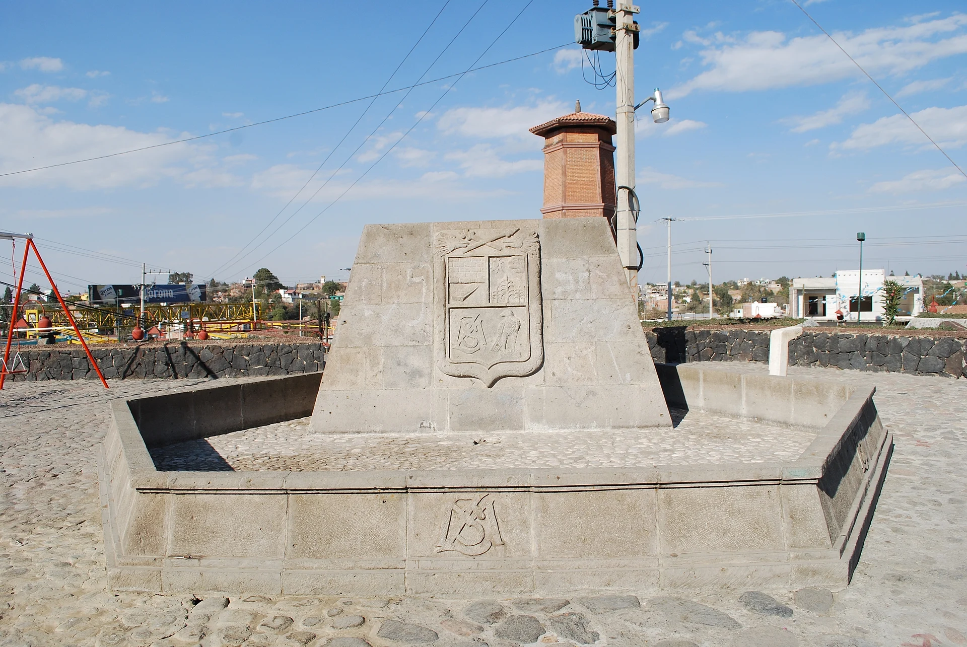
Town Juan C. Bonilla, Puebla Volcano Route Monasteries on the slopes of Popocatépetl Puebla Valley
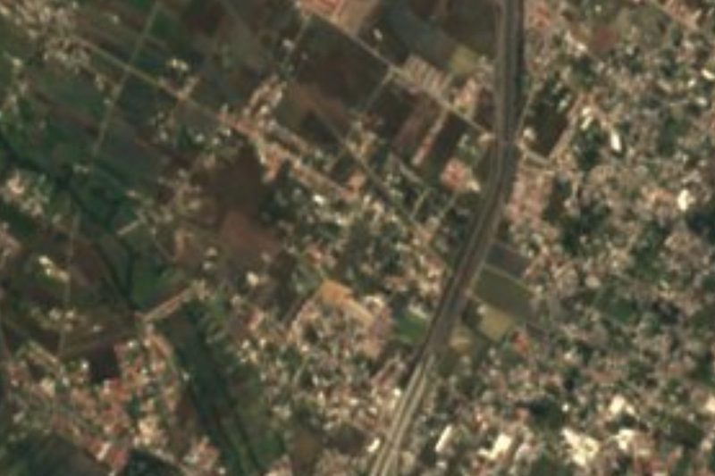
Town in Juan C. Bonilla beside Puebla's airport and federal highway 190, where a 130 m sinkhole opened in 2021.
From San Martín Texmelucan: 20 min by car (22 km by road) How to get there ↓
Near here
See everything nearby ↓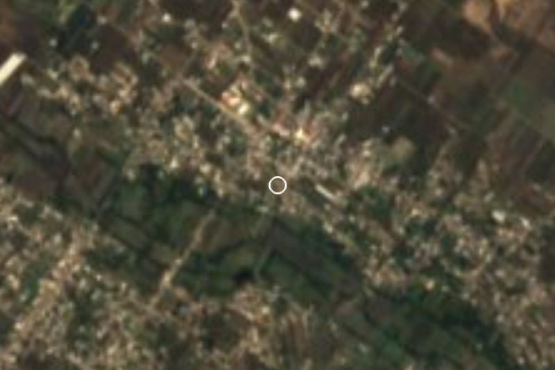


Plan your visit to Santa María Zacatepec
Where to stay near Santa María Zacatepec
Compare hotels, posadas and guest houses in Santa María Zacatepec.
Tours to Santa María Zacatepec
Day trips around Huejotzingo sometimes stop in Santa María Zacatepec; a tour is the easy way to see it without a car.
 Tours from Puebla City
Africam Safari Zoo Admission with Transportation
★ 4.8 (87) · From US$35
How to get to Santa María Zacatepec
- From San Martín Texmelucan: about 20 min by road (~22 km)
- Nearest airport: Puebla (PBC), 7 min by car to Huejotzingo
Links open a partner site. We may earn a commission if you book, at no cost to you.
Tours from Puebla City, near Santa María Zacatepec


Tours, prices and ratings from Viator, checked weekly. We may earn a commission if you book.
About Santa María Zacatepec
Santa María Zacatepec is a town in the municipality of Juan C. Bonilla, in the Puebla-Tlaxcala metropolitan area north-west of the capital. It stands at about 2,220 m on the broad Puebla-Tlaxcala valley floor, in the Atoyac River basin, and had 14,823 people in 2020. Puebla International Airport lies right to the north; Cuanalá, the municipal seat, is to the south-west and Huejotzingo to the north-west.
It belonged to San Pedro Cholula until 1907, when it moved to the newly created municipality of Juan C. Bonilla; in 1921 it went back to Cholula, and around 1930 it rejoined Juan C. Bonilla, where it remains. Its main road is federal highway 190, the toll-free Mexico City–Puebla road, which runs through the middle of town and links it with Huejotzingo and San Martín Texmelucan to the north-west and Cholula and Puebla to the south-east.
Zacatepec made national news in 2021. On 30 May a sinkhole about 60 m across suddenly opened in a field next to the town and filled with water. It kept growing for days: on 4 June the nearest house began to collapse and cracks appeared in other buildings, and on 12 June the hole reached about 130 m across and the house, belonging to the Sánchez Xalamihua family, finally fell in.
How to get to Santa María Zacatepec
Drive from San Martín Texmelucan: 20 min, 22 km
Santa María Zacatepec lies on federal highway 190 (the toll-free Mexico City–Puebla road), which runs through town, next to Puebla International Airport. The Pueblo Mágico of Huejotzingo is about 6 km to the north-west and central Puebla about 20 km in a straight line, roughly 35 to 45 minutes by car via Cholula.
Directions to Santa María Zacatepec on Google Maps
Distances are in a straight line; the road is usually longer.
Links open a partner site. We may earn a commission if you book, at no cost to you.
From the nearest cities to Santa María Zacatepec
- San Martín Texmelucan · 22 km by road, 20 min
- Puebla · 23 km by road, 25 min
- Atlixco · 42 km by road, 35 min
Drive times by road from OpenStreetMap, without traffic or stops. Times marked ~ are estimated from the straight-line distance.
Visiting Santa María Zacatepec: what to see and do
The town square.
The sinkhole that opened beside the town in 2021.
Pair it with Huejotzingo, about 6 km away, and with Cholula.
Plan your trip
Places to stay in Santa María Zacatepec
Compare hotels, posadas, and rentals in and around Santa María Zacatepec.
Tours & activities
Day trips around Huejotzingo sometimes stop in Santa María Zacatepec; a tour is the easy way to see it without a car.
Rental cars
Pick up a car at PBC (Puebla): about 7 min by road to Huejotzingo, then 6 km more to Santa María Zacatepec, on your own schedule.
Flights
The nearest airport with scheduled flights is Puebla (PBC), about 7 min by road from Huejotzingo, the base for Santa María Zacatepec.
Mobile data
Signal can drop away from Huejotzingo: download a map of the way to Santa María Zacatepec before you set out, or carry an eSIM with data.
Links open a partner site. We may earn a commission if you book, at no cost to you.
When to go to Santa María Zacatepec mild
Santa María Zacatepec shares the climate of Huejotzingo, 6 km away. The best months to visit are January, February, March, and November.
See the month-by-month climate of Huejotzingo
Weather in Santa María Zacatepec now and the next 7 days
Live forecast from Open-Meteo. Chance of rain is the day's highest.
The closest Pueblo Mágico: Huejotzingo

Huejotzingo is the Pueblo Mágico closest to Santa María Zacatepec, with places to stay, food, and more to see.
Also close to
Closest to Santa María Zacatepec
-
Cuanalá · Village · 4 km away
-
Cerro Zapotecas · Nature reserve · 6 km away
-
Cháhuac · Village · 6 km away
-
San Francisco Cuapan · Village · 6 km away
-
Santa María Coronango · Town · 6 km away
-
Tlaltenango · Village · 6 km away
-
San Antonio Mihuacán · Village · 7 km away
-
San Miguel Papaxtla · Village · 7 km away
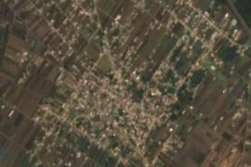

Near Santa María Zacatepec



Drive times by road from OpenStreetMap, without traffic. Times marked ~ are estimated from the straight-line distance.
Location from OpenStreetMap. Written by Puebloteca.