
Village Tlaltenango, Puebla Volcano Route Monasteries on the slopes of Popocatépetl Puebla Valley
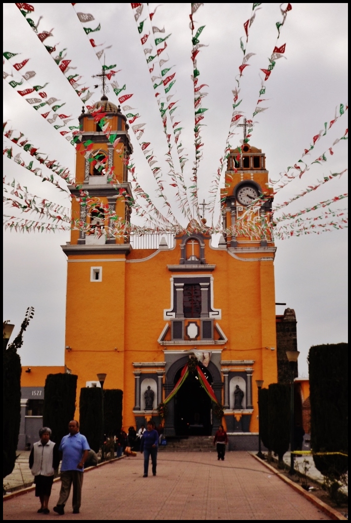
Small municipal seat in metropolitan Puebla beside Huejotzingo, founded in 1527, with a parish church of San Pedro Apóstol and a brick-and-tile tradition.
From San Martín Texmelucan: 20 min by car (20 km by road) How to get there ↓
Near here
See everything nearby ↓



Plan your visit to Tlaltenango
Where to stay near Tlaltenango
Compare hotels, posadas and guest houses in Tlaltenango.
Tours to Tlaltenango
Day trips and guided outings from Huejotzingo often include Tlaltenango; with a local guide you can get there without a car.
 Tours from Puebla City
Africam Safari Zoo Admission with Transportation
★ 4.8 (87) · From US$35
How to get to Tlaltenango
- From San Martín Texmelucan: about 20 min by road (~20 km)
- Nearest airport: Puebla (PBC), 7 min by car to Huejotzingo
Links open a partner site. We may earn a commission if you book, at no cost to you.
Tours from Puebla City, near Tlaltenango


Tours, prices and ratings from Viator, checked weekly. We may earn a commission if you book.
About Tlaltenango
Tlaltenango is the seat of one of the smallest municipalities in the Puebla valley: barely 21 km², nearly all farmland, between Huejotzingo, Juan C. Bonilla, San Miguel Xoxtla and the state of Tlaxcala. The town had 7,084 people in 2020 and stands at about 2,200 m, 7 km from Huejotzingo and some 21 km from central Puebla, in the Puebla–Tlaxcala metropolitan area.
Chichimec, Nahua and Acolhua groups settled the area, and the municipality gives 1527 as its founding date, shortly after the Conquest. In 1750 it fell under the church jurisdiction of Cholula, in the 19th century it belonged to the Cholula district, and in 1895 it became a free municipality. San Francisco Ocotlán and San Miguel Xoxtla are said to have once been part of its territory. Its parish church is dedicated to Saint Peter the Apostle.
The land is flat and agricultural: over 80% of the municipality is farmed and the rest is now built up. The climate is mild, averaging 14 to 16 °C with 800 to 1,000 mm of summer rain, and its streams drain to the Atoyac. Bricks and roof tiles are made here. Women once wore a white blouse, navy skirt, rebozo and palm hat, and men cotton trousers and shirt, a wool gabán and leather-strap sandals. On the table: mole poblano, tamales and pipián, with cider, atole, champurrado and pulque.
How to get to Tlaltenango
Drive from San Martín Texmelucan: 20 min, 20 km
Tlaltenango is about 7 km from Huejotzingo and some 21 km in a straight line from central Puebla, near the México–Puebla highway and the airport. Local transport runs from Huejotzingo, Cholula and Puebla; by car it is about 30 minutes from the city.
Directions to Tlaltenango on Google Maps
Distances are in a straight line; the road is usually longer.
Links open a partner site. We may earn a commission if you book, at no cost to you.
From the nearest cities to Tlaltenango
- San Martín Texmelucan · 20 km by road, 20 min
- Puebla · 27 km by road, 30 min
- Chiautempan · 28 km by road, 30 min
Drive times by road from OpenStreetMap, without traffic or stops. Times marked ~ are estimated from the straight-line distance.
Visiting Tlaltenango: what to see and do
The parish church of San Pedro Apóstol.
Huejotzingo and its Franciscan convent, 7 km away.
Cholula, nearby.
Plan your trip
Places to stay in Tlaltenango
Compare hotels, posadas, and rentals in and around Tlaltenango.
Tours & activities
Day trips and guided outings from Huejotzingo often include Tlaltenango; with a local guide you can get there without a car.
Rental cars
Pick up a car at PBC (Puebla): about 7 min by road to Huejotzingo, then 7 km more to Tlaltenango, on your own schedule.
Flights
The nearest airport with scheduled flights is Puebla (PBC), about 7 min by road from Huejotzingo, the base for Tlaltenango.
Mobile data
Signal can drop away from Huejotzingo: download a map of the way to Tlaltenango before you set out, or carry an eSIM with data.
Links open a partner site. We may earn a commission if you book, at no cost to you.
When to go to Tlaltenango mild
Tlaltenango shares the climate of Huejotzingo, 7 km away. The best months to visit are January, February, March, and November.
See the month-by-month climate of Huejotzingo
Weather in Tlaltenango now and the next 7 days
Live forecast from Open-Meteo. Chance of rain is the day's highest.
The closest Pueblo Mágico: Huejotzingo

Huejotzingo is the Pueblo Mágico closest to Tlaltenango, with places to stay, food, and more to see.
Also close to
Closest to Tlaltenango
-
San Antonio Mihuacán · Village · 4 km away
-
San Miguel Xoxtla · Town · 4 km away
-
Santa Ana Portales · Village · 5 km away
-
Santiago Michac · Town · 5 km away
-
Santa Ana Xalmimilulco · Village · 6 km away
-
Santa María Coronango · Town · 6 km away
-
Santa María Zacatepec · Town · 6 km away
-
Val'Quirico · Town · 6 km away


Near Tlaltenango


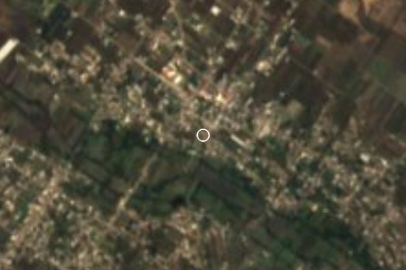


Drive times by road from OpenStreetMap, without traffic. Times marked ~ are estimated from the straight-line distance.
Location from OpenStreetMap. Written by Puebloteca.