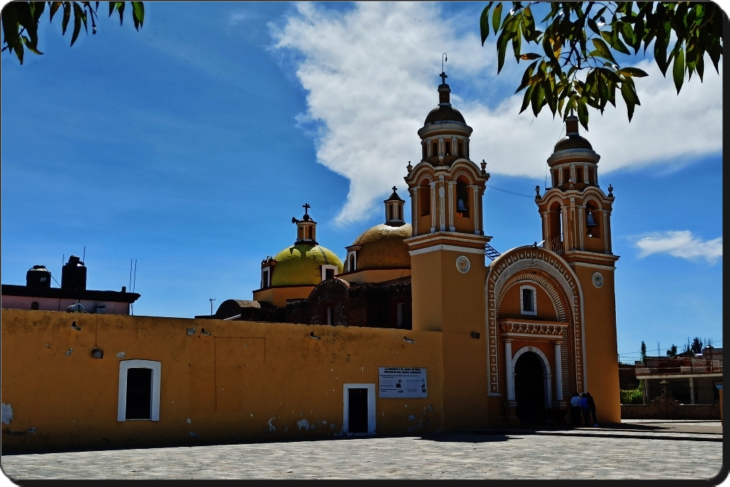
Village Coronango, Puebla Municipality of Coronango Puebla Valley
Auxiliary town of Coronango in metropolitan Puebla, where in 1856 President Comonfort defeated the Zacapoaxtla rebels.
From San Martín Texmelucan: 20 min by car (26 km by road) How to get there ↓
Near here
See everything nearby ↓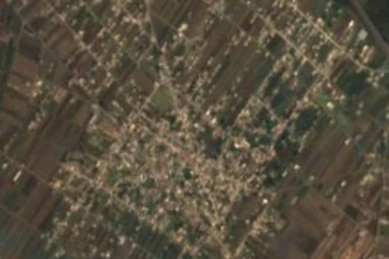

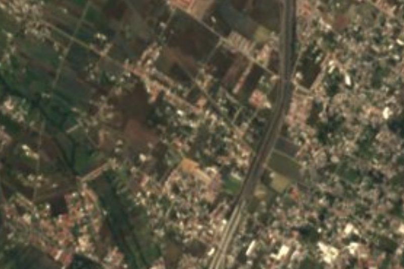


Plan your visit to San Francisco Ocotlán
Where to stay near San Francisco Ocotlán
Compare hotels, posadas and guest houses in San Francisco Ocotlán.
Tours to San Francisco Ocotlán
Day trips and guided outings from Cholula often include San Francisco Ocotlán; with a local guide you can get there without a car.
 Tours from Puebla City
Africam Safari Zoo Admission with Transportation
★ 4.8 (87) · From US$35
How to get to San Francisco Ocotlán
- From San Martín Texmelucan: about 20 min by road (~26 km)
- Nearest airport: Puebla (PBC), 16 min by car to Cholula
Links open a partner site. We may earn a commission if you book, at no cost to you.
Tours from Puebla City, near San Francisco Ocotlán


Tours, prices and ratings from Viator, checked weekly. We may earn a commission if you book.
About San Francisco Ocotlán
On the hills of Ocotlán, on 8 March 1856, a battle was fought that heralded the War of Reform. Conservatives who had risen up in Zacapoaxtla, led by Puebla's Antonio de Haro y Tamariz with commanders such as Miguel Miramón and Luis G. Osollo, had seized Puebla city to the cry of "religion and privileges". President Ignacio Comonfort gathered some 12,000 troops and reached San Martín Texmelucan on 1 March, and to keep him from attacking the city the rebels marched out to meet him at Ocotlán. Fighting began at 8 am; government troops gained the upper hand, and though Haro asked for a parley and then pulled back, the revolt ended with the surrender of 23 March.
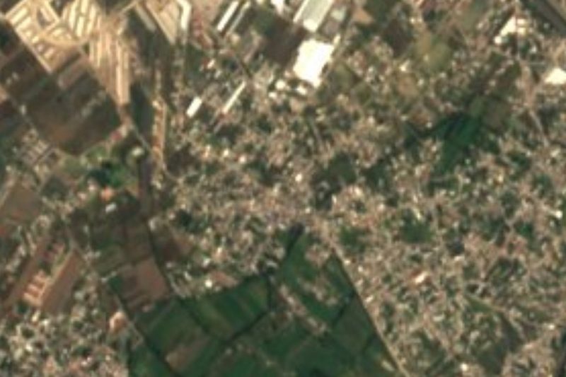
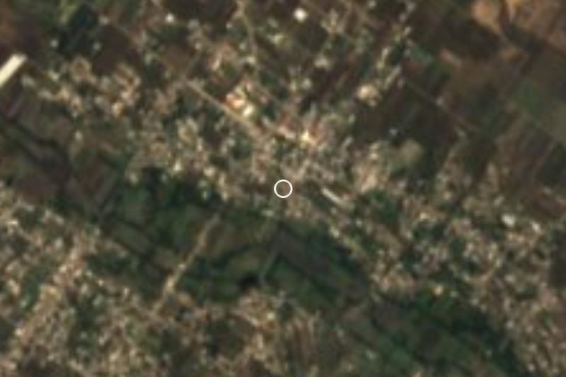
Today San Francisco Ocotlán is an auxiliary town of Coronango, about 15 km north-west of central Puebla, in the Puebla–Tlaxcala metropolitan area. It had 15,943 people in 2020 and stands at about 2,200 m; it is said that, along with San Miguel Xoxtla, it once belonged to Tlaltenango.
Coronango is a small, almost flat municipality, about 37 km² between 2,180 and 2,200 m, where built-up land now covers more than half the territory. The Prieto River crosses it, with springs such as Axoyocaxtla and Agua Santa, and irrigation canals such as the Tlapalac feed the Atoyac. People here make baskets of otate root and straw, bricks and roof tiles; they eat pinole, masa and bean tamales, squash sweets and preserves of perón apple, pear, tejocote and chayote, with rice atole.
How to get to San Francisco Ocotlán
Drive from San Martín Texmelucan: 20 min, 26 km
San Francisco Ocotlán lies about 15 km north-west of central Puebla and 9 km from Cholula, near the México–Puebla highway and Huejotzingo airport. City buses run from Puebla and Cholula; by taxi or ride-hailing app it takes about 30 minutes.
Directions to San Francisco Ocotlán on Google Maps
Distances are in a straight line; the road is usually longer.
Links open a partner site. We may earn a commission if you book, at no cost to you.
From the nearest cities to San Francisco Ocotlán
- San Martín Texmelucan · 26 km by road, 20 min
- Puebla · 18 km by road, 25 min
- Chiautempan · 29 km by road, 25 min
Drive times by road from OpenStreetMap, without traffic or stops. Times marked ~ are estimated from the straight-line distance.
Visiting San Francisco Ocotlán: what to see and do
The parish church of San Francisco.
The hills where the 1856 Battle of Ocotlán was fought.
Cholula, about 9 km away.
Plan your trip
Places to stay in San Francisco Ocotlán
Compare hotels, posadas, and rentals in and around San Francisco Ocotlán.
Tours & activities
Day trips and guided outings from Cholula often include San Francisco Ocotlán; with a local guide you can get there without a car.
Rental cars
Pick up a car at PBC (Puebla): about 16 min by road to Cholula, then 9 km more to San Francisco Ocotlán, on your own schedule.
Flights
The nearest airport with scheduled flights is Puebla (PBC), about 16 min by road from Cholula, the base for San Francisco Ocotlán.
Mobile data
Signal can drop away from Cholula: download a map of the way to San Francisco Ocotlán before you set out, or carry an eSIM with data.
Links open a partner site. We may earn a commission if you book, at no cost to you.
When to go to San Francisco Ocotlán mild
San Francisco Ocotlán shares the climate of Cholula, 9 km away. The best months to visit are January, February, March, and December.
See the month-by-month climate of Cholula
Weather in San Francisco Ocotlán now and the next 7 days
Live forecast from Open-Meteo. Chance of rain is the day's highest.
The closest Pueblo Mágico: Cholula

Cholula is the Pueblo Mágico closest to San Francisco Ocotlán, with places to stay, food, and more to see.
Also close to
- Huejotzingo · Puebla · 13 km away
- Atlixco · Puebla · 29 km away
- Ixtenco · Tlaxcala · 39 km away
- Huamantla · Tlaxcala · 43 km away
- Tlaxco · Tlaxcala · 56 km away
Closest to San Francisco Ocotlán
-
San Antonio Mihuacán · Village · 3 km away
-
Santa María Coronango · Town · 3 km away
-
Barrio de Nuevo León · Village · 5 km away
-
San Juan Cuautlancingo · Town · 5 km away
-
San Lorenzo Almecatla · Town · 5 km away
-
San Miguel Xoxtla · Town · 5 km away
-
Sanctorum · Village · 5 km away
-
Cuanalá · Village · 6 km away
Near San Francisco Ocotlán




Drive times by road from OpenStreetMap, without traffic. Times marked ~ are estimated from the straight-line distance.
Location from OpenStreetMap. Written by Puebloteca.