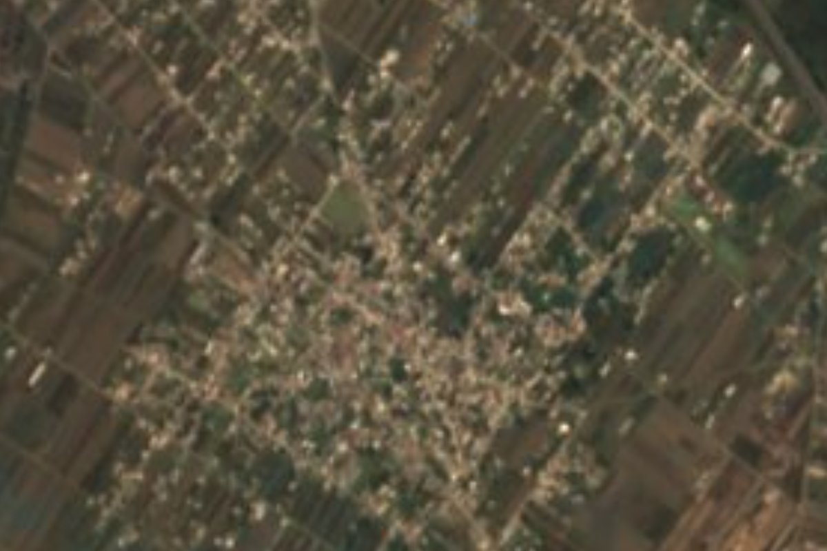
Village Coronango, Puebla Municipality of Coronango Puebla Valley
Coronango village of 8,491 people in 2020 near the Prieto river, whose name is read as place of arrows, of cornfields or of agaves.
From San Martín Texmelucan: 20 min by car (24 km by road) How to get there ↓
Near here
See everything nearby ↓



Plan your visit to San Antonio Mihuacán
Where to stay near San Antonio Mihuacán
Compare hotels, posadas and guest houses in San Antonio Mihuacán.
Tours to San Antonio Mihuacán
Day trips and guided outings from Cholula often include San Antonio Mihuacán; with a local guide you can get there without a car.
How to get to San Antonio Mihuacán
- From San Martín Texmelucan: about 20 min by road (~24 km)
- Nearest airport: Puebla (PBC), 16 min by car to Cholula
Links open a partner site. We may earn a commission if you book, at no cost to you.
About San Antonio Mihuacán
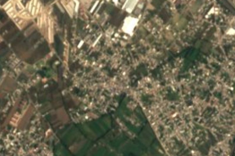
Nobody agrees on what Mihuacán means, and the three proposed readings paint different landscapes. If it comes from mitl, arrow, it would be "place that has arrows"; if from milli, cornfield, "place of cornfields"; and if the root is metl, agave, "place of agaves". All three share hua, possession, and can, place. The first half of the name is certain: the patron is Saint Anthony of Padua. With 8,491 inhabitants in 2020 according to INEGI, it is a large community in Coronango municipality, at about 2,200 metres, on the plain that stretches north of Cholula toward the Tlaxcala border.
Coronango is a small municipality of only about 37 km², touching the state of Tlaxcala to the northeast, where it borders Zacatelco. Its Puebla neighbours are San Miguel Xoxtla, Tlaltenango, Juan C. Bonilla, San Pedro Cholula and Cuautlancingo. It lies in the southern part of the Atoyac basin: the Prieto river runs north to south along its eastern side and joins the Atoyac outside the municipality, and irrigation canals such as the Tlapalac cross the north. Along the Prieto rise the Axoyocaxtla, Almoloca de Tlaltenango and Agua Santa springs. Today about two thirds of the municipality's land is urban and the rest is farmed.
INEGI records a temperate climate for Coronango, with averages of 14 to 18 °C and 800 to 1,000 mm of rain a year. Its crafts include baskets of otate root and straw, as well as brick and roof tile. In the kitchen there is mole poblano and tamales of pinole, masa and beans, and sweets are made from squash, perón apples, pears, tejocotes and preserved chayote. The municipality is also home to speakers of Nahuatl, Mixtec, Zapotec, Otomi and other Indigenous languages.
How to get to San Antonio Mihuacán
Drive from San Martín Texmelucan: 20 min, 24 km
It lies about 10 km in a straight line north of Cholula and about 17 km from central Puebla, near the Mexico-Puebla highway and the Cuautlancingo industrial corridor. Get there by car or by local and suburban buses from Cholula or from the north of the city.
Directions to San Antonio Mihuacán on Google Maps
Distances are in a straight line; the road is usually longer.
Links open a partner site. We may earn a commission if you book, at no cost to you.
From the nearest cities to San Antonio Mihuacán
- San Martín Texmelucan · 24 km by road, 20 min
- Puebla · 18 km by road, 25 min
- Chiautempan · 28 km by road, 35 min
Drive times by road from OpenStreetMap, without traffic or stops. Times marked ~ are estimated from the straight-line distance.
Visiting San Antonio Mihuacán: what to see and do
Everyday life in a large village on the Cholula plain, with its church dedicated to Saint Anthony of Padua; the springs and banks of the Prieto river in the municipality; and Coronango's preserved tejocote, perón and chayote sweets, along with pinole tamales.
Plan your trip
Places to stay in San Antonio Mihuacán
Compare hotels, posadas, and rentals in and around San Antonio Mihuacán.
Tours & activities
Day trips and guided outings from Cholula often include San Antonio Mihuacán; with a local guide you can get there without a car.
Rental cars
Pick up a car at PBC (Puebla): about 16 min by road to Cholula, then 10 km more to San Antonio Mihuacán, on your own schedule.
Flights
The nearest airport with scheduled flights is Puebla (PBC), about 16 min by road from Cholula, the base for San Antonio Mihuacán.
Mobile data
Signal can drop away from Cholula: download a map of the way to San Antonio Mihuacán before you set out, or carry an eSIM with data.
Links open a partner site. We may earn a commission if you book, at no cost to you.
When to go to San Antonio Mihuacán mild
San Antonio Mihuacán shares the climate of Cholula, 10 km away. The best months to visit are January, February, March, and December.
See the month-by-month climate of Cholula
Weather in San Antonio Mihuacán now and the next 7 days
Live forecast from Open-Meteo. Chance of rain is the day's highest.
The closest Pueblo Mágico: Cholula

Cholula is the Pueblo Mágico closest to San Antonio Mihuacán, with places to stay, food, and more to see.
Also close to
- Huejotzingo · Puebla · 11 km away
- Atlixco · Puebla · 30 km away
- Ixtenco · Tlaxcala · 40 km away
- Huamantla · Tlaxcala · 44 km away
- Tlaxco · Tlaxcala · 55 km away
Closest to San Antonio Mihuacán
-
San Miguel Xoxtla · Town · 2 km away
-
Santa María Coronango · Town · 2 km away
-
San Francisco Ocotlán · Village · 3 km away
-
Tlaltenango · Village · 4 km away
-
Santa Ana Portales · Village · 5 km away
-
Val'Quirico · Town · 5 km away
-
Cuanalá · Village · 6 km away
-
Barrio de Nuevo León · Village · 7 km away
Near San Antonio Mihuacán



Drive times by road from OpenStreetMap, without traffic. Times marked ~ are estimated from the straight-line distance.
Location from OpenStreetMap. Written by Puebloteca.