
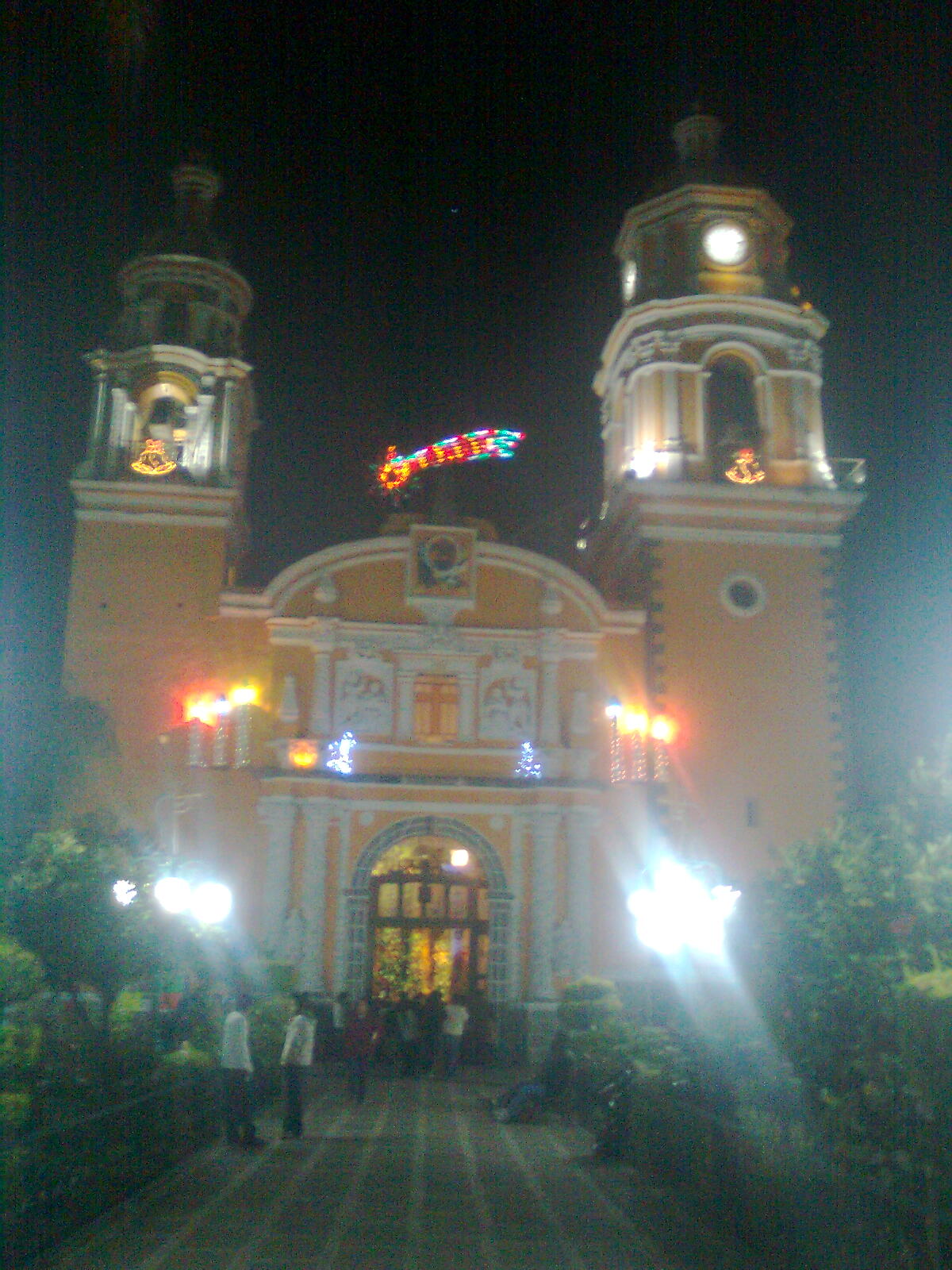
Town Cuautlancingo, Puebla Municipality of Cuautlancingo Puebla Valley
Seat of Cuautlancingo, north of Cholula in the Puebla metro area; a pre-Hispanic town with a coat of arms granted in 1589.
From Puebla: 20 min by car (11 km by road) How to get there ↓
Near here


Plan your visit to San Juan Cuautlancingo
Where to stay near San Juan Cuautlancingo
Compare hotels, posadas and guest houses in San Juan Cuautlancingo.
Tours to San Juan Cuautlancingo
Day trips around Cholula sometimes stop in San Juan Cuautlancingo; a tour is the easy way to see it without a car.
How to get to San Juan Cuautlancingo
- From Puebla: about 20 min by road (~11 km)
- Nearest airport: Puebla (PBC), 16 min by car to Cholula
Links open a partner site. We may earn a commission if you book, at no cost to you.
About San Juan Cuautlancingo
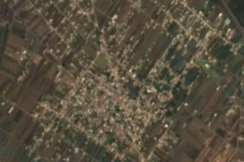
San Juan Cuautlancingo is the seat of the municipality of Cuautlancingo, on the western side of the Puebla metropolitan area, between the capital and Cholula. The name comes from the Nahuatl cuahuitl, tree, and means "in the little wood". With 36,620 people in 2020 it is more city than village, and it stands at about 2,150 m. The municipality, about 33 km², borders Tlaxcala to the north, Puebla to the east, San Pedro Cholula to the south and Coronango to the west, and most people work in industry.
The founding date is unknown because the Indigenous painted records were destroyed. For a time the anthropologist Margarita Nolasco and the scholar Adolf Bandelier argued that Cuautlancingo was founded after the Conquest by nobles driven out of Cholula, together with Tlaxcalan allies. More recent sources, such as the Codex of Cuautlancingo, which tells of the meeting between local chiefs and the Spaniards and the help they gave them, show that the town existed centuries before 1521. For that help it received land and a coat of arms, granted on 3 July 1589. In colonial times it was a república de indios with some independence from Spanish authorities, and in 1895 it became a free municipality.
In 2017 the town council received, in a formal session, a facsimile of the Royal Decree and the map of the town's legal land grant, whose originals had vanished from the Archive of the Indies, Mexico's national archive and the municipality. The parish church of San Juan is the heart of the town.
How to get to San Juan Cuautlancingo
Drive from Puebla: 20 min, 11 km
Cuautlancingo is inside the Puebla metropolitan area, about 9 km in a straight line from downtown Puebla and about 5 km from the Pueblo Mágico of Cholula; by car it is 20 to 30 minutes from central Puebla depending on traffic.
Directions to San Juan Cuautlancingo on Google Maps
Distances are in a straight line; the road is usually longer.
Links open a partner site. We may earn a commission if you book, at no cost to you.
From the nearest cities to San Juan Cuautlancingo
- Puebla · 11 km by road, 20 min
- San Martín Texmelucan · 31 km by road, 25 min
- Chiautempan · 32 km by road, 30 min
Drive times by road from OpenStreetMap, without traffic or stops. Times marked ~ are estimated from the straight-line distance.
Map of San Juan Cuautlancingo
Neighbourhoods and villages of San Juan Cuautlancingo
Part of San Juan Cuautlancingo or just outside it, closest first.
-
Barrio de Nuevo León · Village · 2 km from the centre
Neighbourhood-village of Cuautlancingo, 4 km from Cholula, within the Puebla metropolitan area, with about 3,000 people. -
Sanctorum · Village · 2 km from the centre
Cuautlancingo community of over 35,000 people, about 8 km from Puebla, among fields, new neighbourhoods and the Volkswagen industrial belt. -
Santiago Momoxpan · Town · 2 km from the centre
Town of San Pedro Cholula between Cholula and Puebla city, now part of the metropolitan area, with over 20,000 people.
Day trips and tours from San Juan Cuautlancingo
The closest Pueblos Mágicos and places to visit, with the drive from San Juan Cuautlancingo and tours that leave from it.


Times marked ~ are estimated from the distance. Links open a partner site. We may earn a commission if you book, at no cost to you.
Before you go: getting to and around San Juan Cuautlancingo
- The nearest airport is Puebla (PBC).
- The best months to go are January, February, March, and December.
- Everything on this page is in or close to the centre: walk, or take a short taxi ride.
- For day trips a rental car gives the most freedom; the tours above leave from San Juan Cuautlancingo.
Visiting San Juan Cuautlancingo: what to see and do
The parish church of San Juan Bautista in the centre.
The coat of arms granted in 1589.
The story of the Codex of Cuautlancingo.
Pair it with Cholula, about 5 km away.
Plan your trip
Places to stay in San Juan Cuautlancingo
Compare hotels, posadas, and rentals in and around San Juan Cuautlancingo.
Tours & activities
Day trips around Cholula sometimes stop in San Juan Cuautlancingo; a tour is the easy way to see it without a car.
Rental cars
Pick up a car at PBC (Puebla): about 16 min by road to Cholula, then 5 km more to San Juan Cuautlancingo, on your own schedule.
Flights
The nearest airport with scheduled flights is Puebla (PBC), about 16 min by road from Cholula, the base for San Juan Cuautlancingo.
Mobile data
Signal can drop away from Cholula: download a map of the way to San Juan Cuautlancingo before you set out, or carry an eSIM with data.
Links open a partner site. We may earn a commission if you book, at no cost to you.
When to go to San Juan Cuautlancingo mild
San Juan Cuautlancingo shares the climate of Cholula, 5 km away. The best months to visit are January, February, March, and December.
See the month-by-month climate of Cholula
Weather in San Juan Cuautlancingo now and the next 7 days
Live forecast from Open-Meteo. Chance of rain is the day's highest.
The closest Pueblo Mágico: Cholula

Cholula is the Pueblo Mágico closest to San Juan Cuautlancingo, with places to stay, food, and more to see.
Also close to
- Huejotzingo · Puebla · 16 km away
- Atlixco · Puebla · 26 km away
- Ixtenco · Tlaxcala · 40 km away
- Huamantla · Tlaxcala · 44 km away
- Tlaxco · Tlaxcala · 61 km away
Near San Juan Cuautlancingo




Drive times by road from OpenStreetMap, without traffic. Times marked ~ are estimated from the straight-line distance.
Location from OpenStreetMap. Written by Puebloteca.