Village Cuautlancingo, Puebla Municipality of Cuautlancingo Puebla Valley
Cuautlancingo community of over 35,000 people, about 8 km from Puebla, among fields, new neighbourhoods and the Volkswagen industrial belt.
From Puebla: 20 min by car (11 km by road) How to get there ↓
Near here
See everything nearby ↓



Plan your visit to Sanctorum
Where to stay near Sanctorum
Compare hotels, posadas and guest houses in Sanctorum.
Tours to Sanctorum
Day trips and guided outings from Cholula often include Sanctorum; with a local guide you can get there without a car.
 Tours from Puebla City
Africam Safari Zoo Admission with Transportation
★ 4.8 (87) · From US$35
How to get to Sanctorum
- From Puebla: about 20 min by road (~11 km)
- Nearest airport: Puebla (PBC), 16 min by car to Cholula
Links open a partner site. We may earn a commission if you book, at no cost to you.
Tours from Puebla City, near Sanctorum


Tours, prices and ratings from Viator, checked weekly. We may earn a commission if you book.
About Sanctorum
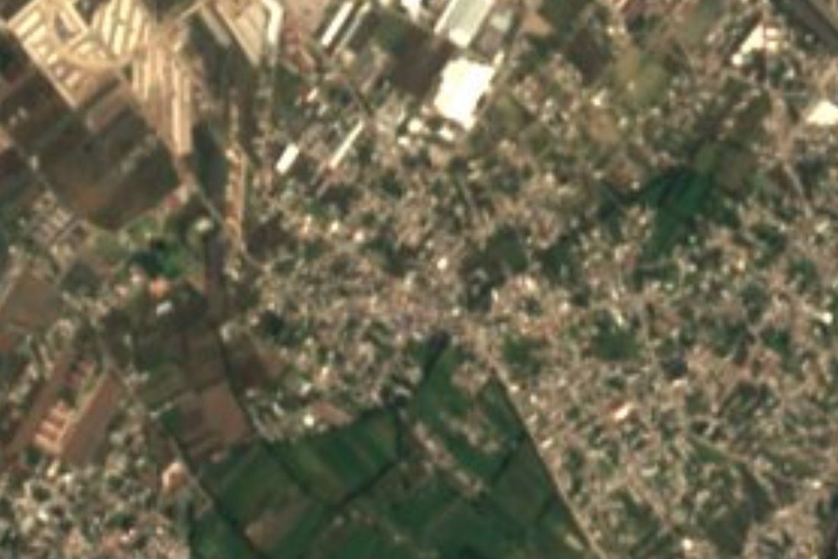
With 35,083 residents in 2020, Sanctorum has more people than many entire municipalities in the state, even though it is officially a community of Cuautlancingo. It spreads across the Puebla plain at about 2,141 metres, some 8 km from downtown Puebla and 7 from Cholula, inside the Puebla–Tlaxcala metropolitan area. From above its double face is clear: to the north, large industrial buildings on a grid; to the south, green plots still survive between the housing blocks. It is one of three communities in the municipality with its own health post, along with La Trinidad Chautenco and San Lorenzo Almecatla.
Cuautlancingo means in the little forest, from cuahuitl, tree, plus suffixes of abundance and smallness. It is a small municipality of 33 km², mostly flat, at an average height of 2,140 metres; it borders Tlaxcala to the north, San Pedro Cholula and Puebla to the south and Coronango to the west. The Atoyac, its main river, crosses it, and the Prieto passes through the far southwest. Average temperatures run from 14 to 18 °C and 800 to 1,000 mm of rain a year. More than 60% of the land is now urban and only a third is farmed. More than half of the working population is employed in industry, since this is home to the Volkswagen assembly plant, surrounded by factories making chemicals, medical equipment, building materials, textiles and furniture.
The municipality's history is far older than its factories. The Codex of Cuautlancingo tells of the meeting between local chiefs and the Spaniards and the help they gave them, for which in 1589 they received a coat of arms and land; recent research holds that the settlement already existed before the Tolteca-Chichimeca arrived around the year 1100. It became a free municipality in 1895. The festive calendar opens on 3 May with the crosses of El Alto, El Bajío, El Perdón and El Calvario, and peaks on 24 June with the fair of Saint John the Baptist, the municipal patron, when mole with rice is traditionally shared. Local workshops make fine pottery, roof tiles and bricks, and among traditional drinks pulque and aguamiel endure, alongside preserves of tejocote, apple and peach.
How to get to Sanctorum
Drive from Puebla: 20 min, 11 km
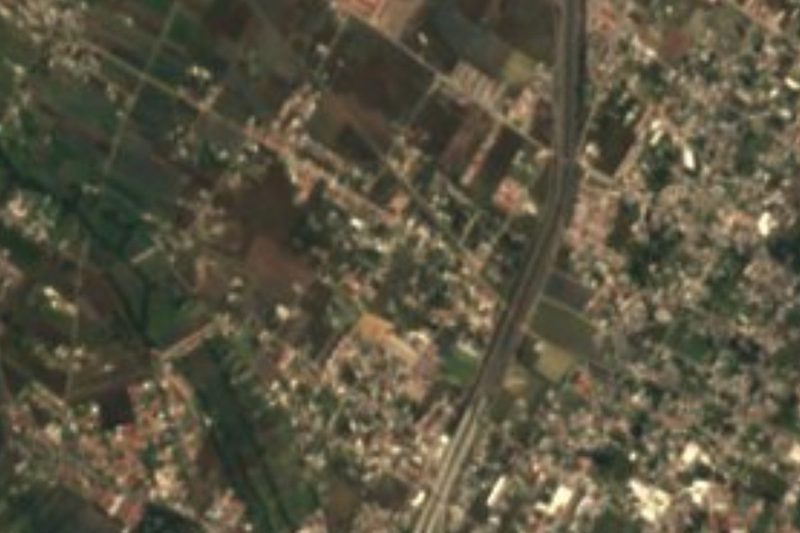
Sanctorum is about 8 km from downtown Puebla, on the northwest side of the urban area. The federal México–Puebla road crosses the municipality from west to east, and local streets branch off it toward the village; city buses and shared vans run from Puebla and from Cholula, about 7 km away.
Directions to Sanctorum on Google Maps
Distances are in a straight line; the road is usually longer.
Links open a partner site. We may earn a commission if you book, at no cost to you.
From the nearest cities to Sanctorum
- Puebla · 11 km by road, 20 min
- San Martín Texmelucan · 30 km by road, 25 min
- Chiautempan · 31 km by road, 30 min
Drive times by road from OpenStreetMap, without traffic or stops. Times marked ~ are estimated from the straight-line distance.
Visiting Sanctorum: what to see and do
The streets of Sanctorum and the farm plots that survive to the south.
The municipal seat, San Juan Cuautlancingo, and its 24 June fair.
The Holy Cross celebrations on 3 May.
Cholula, just 7 km away, with its great pyramid.
Plan your trip
Places to stay in Sanctorum
Compare hotels, posadas, and rentals in and around Sanctorum.
Tours & activities
Day trips and guided outings from Cholula often include Sanctorum; with a local guide you can get there without a car.
Rental cars
Pick up a car at PBC (Puebla): about 16 min by road to Cholula, then 7 km more to Sanctorum, on your own schedule.
Flights
The nearest airport with scheduled flights is Puebla (PBC), about 16 min by road from Cholula, the base for Sanctorum.
Mobile data
Signal can drop away from Cholula: download a map of the way to Sanctorum before you set out, or carry an eSIM with data.
Links open a partner site. We may earn a commission if you book, at no cost to you.
When to go to Sanctorum mild
Sanctorum shares the climate of Cholula, 7 km away. The best months to visit are January, February, March, and December.
See the month-by-month climate of Cholula
Weather in Sanctorum now and the next 7 days
Live forecast from Open-Meteo. Chance of rain is the day's highest.
The closest Pueblo Mágico: Cholula

Cholula is the Pueblo Mágico closest to Sanctorum, with places to stay, food, and more to see.
Also close to
- Huejotzingo · Puebla · 17 km away
- Atlixco · Puebla · 28 km away
- Ixtenco · Tlaxcala · 38 km away
- Huamantla · Tlaxcala · 42 km away
- Tlaxco · Tlaxcala · 59 km away
Closest to Sanctorum
-
San Juan Cuautlancingo · Town · 2 km away
-
Santiago Momoxpan · Town · 3 km away
-
Barrio de Nuevo León · Village · 4 km away
-
Cuexcomate · Mountain · 4 km away
-
San Felipe Hueyotlipan · Town · 5 km away
-
San Francisco Ocotlán · Village · 5 km away
-
San Lorenzo Almecatla · Town · 5 km away
-
Cerro de San Juan · Mountain · 6 km away


Near Sanctorum




Drive times by road from OpenStreetMap, without traffic. Times marked ~ are estimated from the straight-line distance.
Location from OpenStreetMap. Written by Puebloteca.