Town Papalotla de Xicohténcatl, Tlaxcala Puebla Valley La Malinche
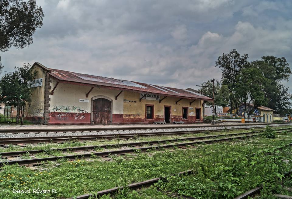
Valley town between Puebla and Tlaxcala, with a charro carnival, the old Panzacola station and a fair around October.
From Chiautempan: 20 min by car (18 km by road) How to get there ↓
Near here


Plan your visit to Papalotla
Where to stay near Papalotla
Compare hotels, posadas and guest houses in Papalotla.
Tours to Papalotla
Day trips around Cholula sometimes stop in Papalotla; a tour is the easy way to see it without a car.
 Tours from Puebla City
Africam Safari Zoo Admission with Transportation
★ 4.8 (87) · From US$35
How to get to Papalotla
- From Chiautempan: about 20 min by road (~18 km)
- Nearest airport: Puebla (PBC), 16 min by car to Cholula
Links open a partner site. We may earn a commission if you book, at no cost to you.
Tours from Puebla City, near Papalotla


Tours, prices and ratings from Viator, checked weekly. We may earn a commission if you book.
About Papalotla
Papalotla is the seat of the municipality of Papalotla de Xicohténcatl and part of the Puebla–Tlaxcala metropolitan zone, about 14 km from Puebla and 16 km from the state capital. Its name comes from Nahuatl papalotl, butterfly, plus the suffix -tla, and is read as place of butterflies. Wikipedia, using INEGI figures, gives 25,988 inhabitants in 2020 for the locality and notes that it has passed 20,000 since 2005. The Zahuapan river meets the Atoyac here and takes the latter's name from this point.
The area was settled long before the common era, with a major development in the Tlatempa phase, especially at Panzacola. In the early 19th century the Panzacola iron and bronze foundry was set up there, and by mid-century textile mills such as El Valor, La Tlaxcalteca and Tenexac had opened; the railway boosted growth. Panzacola Station, one of the oldest in the country, is still used to move freight. After the textile decline, industrial corridors carried the economy from 1975.
What draws visitors most is the carnival, with charros in feather-crested hats, the vasarios and the doncellas; the presentation and the closing remate fall on the Monday and Tuesday before Ash Wednesday. The parish of San Francisco de Asís, the main square (Plaza de la Constitución) and the monument to General Máximo Rojas, who became governor of Tlaxcala, complete the walk. The fair for San Francisco is held in late September and early October, and on 5 May there is a pilgrimage to the Señor del Monte on the slopes of La Malinche.
How to get to Papalotla
Drive from Chiautempan: 20 min, 18 km
Papalotla sits in the corridor between Puebla and Tlaxcala on federal highway 119 (Puebla–Tlaxcala), and also near federal 121 (Puebla–Santa Ana Chiautempan); Puebla's Periférico is about 3 km away. It is about 14 km to Puebla (roughly 15 minutes by car, approx.) and 16 km to Tlaxcala city; Zacatelco is 6 km and San Pablo del Monte 7 km. From Mexico City it is about 100 km. By bus the easiest way is to reach Puebla's CAPU terminal (from TAPO) or Tlaxcala's bus station; buses run between the two cities (Autobuses Valles, roughly every 15 minutes, about 40 minutes) and you can ask to get off on federal 119 at the Papalotla junction. Ask at the junction.
Directions to Papalotla on Google Maps
Distances are in a straight line; the road is usually longer.
Links open a partner site. We may earn a commission if you book, at no cost to you.
From the nearest cities to Papalotla
- Puebla · 18 km by road, 20 min
- Chiautempan · 18 km by road, 20 min
- San Martín Texmelucan · 34 km by road, 30 min
Drive times by road from OpenStreetMap, without traffic or stops. Times marked ~ are estimated from the straight-line distance.
Map of Papalotla
Neighbourhoods and villages of Papalotla
Part of Papalotla or just outside it, closest first.
-
San Marcos Contla · Town · in the centre
Second-largest locality of Papalotla, 3 km from the seat on federal highway 121: San Marcos church and fiesta on 25 April. -
Mazatecochco · Town · 2 km from the centre
Municipal seat on La Malinche's southern slope, with an 18th-century parish of Saints Cosmas and Damian and a carnival danced by neighbourhood sections. -
Tenancingo · Town · 2 km from the centre
A town in southern Tlaxcala next to Puebla, with the San Miguel parish and a carnival of toreros and charros. -
Santa Catarina Ayometla · Town · 3 km from the centre
Municipal seat in southern Tlaxcala: 18th-century parish of Santa Catarina, tinsmithing and a patron-saint fiesta on 25 November. -
Xicohtzinco · Town · 3 km from the centre
Santo Toribio Xicohtzinco, on the Puebla border: a twin-towered parish church built 1801-1803, a 16 April feast and a chivarrudos carnival. -
Ayometitla · Village · 4 km from the centre
Second-largest locality in the municipality of Santa Cruz Quilehtla, with a chapel of Santiago and 2,158 people in 2020. -
San Lorenzo Almecatla · Town · 4 km from the centre
Town in Cuautlancingo north of Puebla, scene of the Battle of San Lorenzo against the French army on 8 May 1863.

Day trips and tours from Papalotla
The closest Pueblos Mágicos and places to visit, with the drive from Papalotla and tours that leave from it.


Times marked ~ are estimated from the distance. Links open a partner site. We may earn a commission if you book, at no cost to you.
Before you go: getting to and around Papalotla
- The nearest airport is Puebla (PBC).
- The best months to go are January, February, March, and December.
- 2 of the places on this page are more than 3 km from the centre: take a taxi, a ride-hailing app or a local bus.
- For day trips a rental car gives the most freedom; the tours above leave from Papalotla.
Before you go to Papalotla: hours, prices and tips
- Best season
- Carnival: presentation and remate on the Monday and Tuesday before Ash Wednesday; Señor del Monte on 5 May; San Francisco fair in late September and early October. Wikipedia · checked Oct 2026
Hours and prices change, especially around holidays. Each fact links to where we checked it.
Visiting Papalotla: what to see and do
See Panzacola Station, one of the oldest railway stations in the country.
Go into the parish of San Francisco de Asís and walk the Plaza de la Constitución.
Find the monument to General Máximo Rojas.
Come for the carnival, with its charros, vasarios and doncellas, on the Monday and Tuesday before Ash Wednesday.
Join the May pilgrimage to the Señor del Monte on the slopes of La Malinche.
Try the mole at the San Francisco fair in late September.
Plan your trip
Places to stay in Papalotla
Compare hotels, posadas, and rentals in and around Papalotla.
Tours & activities
Day trips around Cholula sometimes stop in Papalotla; a tour is the easy way to see it without a car.
Rental cars
Pick up a car at PBC (Puebla): about 16 min by road to Cholula, then 16 km more to Papalotla, on your own schedule.
Flights
The nearest airport with scheduled flights is Puebla (PBC), about 16 min by road from Cholula, the base for Papalotla.
Mobile data
Signal can drop away from Cholula: download a map of the way to Papalotla before you set out, or carry an eSIM with data.
Links open a partner site. We may earn a commission if you book, at no cost to you.
When to go to Papalotla mild
Papalotla shares the climate of Cholula, 16 km away. The best months to visit are January, February, March, and December.
See the month-by-month climate of Cholula
Weather in Papalotla now and the next 7 days
Live forecast from Open-Meteo. Chance of rain is the day's highest.
The closest Pueblo Mágico: Cholula

Cholula is the Pueblo Mágico closest to Papalotla, with places to stay, food, and more to see.
Also close to
- Huejotzingo · Puebla · 21 km away
- Ixtenco · Tlaxcala · 30 km away
- Huamantla · Tlaxcala · 34 km away
- Atlixco · Puebla · 37 km away
- Tlaxco · Tlaxcala · 50 km away
Near Papalotla


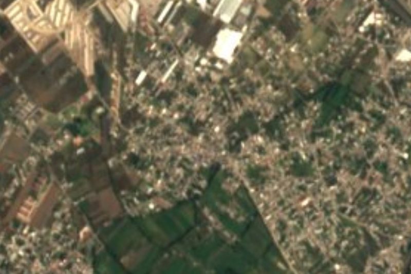


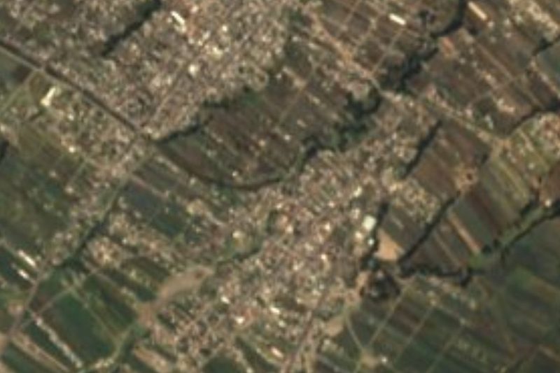


Drive times by road from OpenStreetMap, without traffic. Times marked ~ are estimated from the straight-line distance.
Location from OpenStreetMap. Written by Puebloteca.