

Town Municipio de Puebla, Puebla Municipality of Puebla Puebla Valley
Auxiliary town on the north side of Puebla city, home of the CAPU bus terminal; it was a municipality of its own until 1962.
From Puebla: 10 min by car (7 km by road) How to get there ↓
Near here


Plan your visit to San Felipe Hueyotlipan
Where to stay near San Felipe Hueyotlipan
Compare hotels, posadas and guest houses in San Felipe Hueyotlipan.
Tours to San Felipe Hueyotlipan
Day trips around Cholula sometimes stop in San Felipe Hueyotlipan; a tour is the easy way to see it without a car.
How to get to San Felipe Hueyotlipan
- From Puebla: about 10 min by road (~7 km)
- Nearest airport: Puebla (PBC), 16 min by car to Cholula
Links open a partner site. We may earn a commission if you book, at no cost to you.
About San Felipe Hueyotlipan
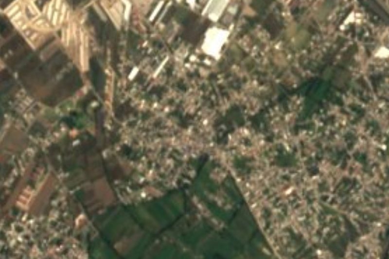
For many travellers San Felipe Hueyotlipan is where Puebla begins: this junta auxiliar (auxiliary town) on the city's north side holds the CAPU, the central passenger bus terminal, opened in 1988, with 123 bays and departures to nearly every state, above all Tlaxcala, Veracruz and Oaxaca. It covers 13.7 hectares about 3 km north of the Zócalo.
The Nahuatl name, Huēyohtlipan, is built from huēy, big, ohtli, road, and the suffix -pan, so "on the big road". That fits, since federal highway 119 to Tlaxcala starts here at its junction with the Puebla-Orizaba toll road. Unlike the old villages ringing the city, it has no pre-Hispanic past: it grew from textile workers who came for jobs in the mills along the Atoyac river. It was a separate municipality until 1962, when the state congress annexed it to Puebla.
The centre keeps the parish church of San Felipe, with a yellow front and two towers of unequal height, and the auxiliary town hall a short walk away. To the north lies San Jerónimo Caleras with its industrial parks, and the tracks of the Puebla-Cholula tourist train, which ran from January 2017 to December 2021, crossed the area.
How to get to San Felipe Hueyotlipan
Drive from Puebla: 10 min, 7 km
From Puebla's Zócalo head north on Calle 11 Norte: about 6.5 km and roughly 10 minutes by car without traffic. Long-distance buses arrive at the CAPU inside the junta auxiliar, 1.5 km from the Mexico City-Puebla-Orizaba toll road. Cholula is about 14 km away (some 16 min) via Avenida San Felipe, the Recta a Cholula and Boulevard Ruta Quetzalcóatl. Federal highway 119, which starts here, runs to Tlaxcala city.
Directions to San Felipe Hueyotlipan on Google Maps
Distances are in a straight line; the road is usually longer.
Links open a partner site. We may earn a commission if you book, at no cost to you.
From the nearest cities to San Felipe Hueyotlipan
- Puebla · 7 km by road, 10 min
- San Martín Texmelucan · 34 km by road, 30 min
- Chiautempan · 31 km by road, 35 min
Drive times by road from OpenStreetMap, without traffic or stops. Times marked ~ are estimated from the straight-line distance.
What to see in San Felipe Hueyotlipan 5
Sights with their own page, closest to the centre first.
Landmarks and museums
-
Capilla de San Ildefonso · Landmark · 4 km from the centre
17th-century chapel on Avenida Reforma in Puebla, beside San Marcos, with a grey stone doorway and a painted neoclassical altar in 21 panels. -
Museo Nacional de los Ferrocarriles Mexicanos · Landmark · 4 km from the centre
Railway museum in Puebla's old Ferrocarril Mexicano station, opened by Juárez in 1869, with steam locomotives and a presidential carriage. -
Parroquia de San José · Landmark · 4 km from the centre
Baroque church in the San José barrio north of central Puebla, with a talavera-tiled front, eight gilded altarpieces and the chapel of Jesús Nazareno.
Mountains
-
Cuexcomate · Mountain · 3 km from the centre
The "world's smallest volcano", actually an extinct 13 m geyser cone on the square of La Libertad in Puebla city; a spiral staircase leads inside. -
Cerro de San Juan · Mountain · 4 km from the centre
The hill of Puebla's La Paz district, west of downtown: Forey's camp in 1863 and Porfirio Díaz's in 1867, now topped by the Iglesia del Cielo.
Map of San Felipe Hueyotlipan
Day trips and tours from San Felipe Hueyotlipan
The closest Pueblos Mágicos and places to visit, with the drive from San Felipe Hueyotlipan and tours that leave from it.


Times marked ~ are estimated from the distance. Links open a partner site. We may earn a commission if you book, at no cost to you.
Before you go: getting to and around San Felipe Hueyotlipan
- The nearest airport is Puebla (PBC).
- The best months to go are January, February, March, and December.
- 4 of the places on this page are more than 3 km from the centre: take a taxi, a ride-hailing app or a local bus.
- For day trips a rental car gives the most freedom; the tours above leave from San Felipe Hueyotlipan.
Visiting San Felipe Hueyotlipan: what to see and do
The parish church of San Felipe with its yellow front.
The auxiliary town hall by the centre.
The CAPU, one of the largest bus terminals in Latin America.
The main chapel of the San Felipe cemetery.
The tracks of the former Puebla-Cholula tourist train.
Plan your trip
Places to stay in San Felipe Hueyotlipan
Compare hotels, posadas, and rentals in and around San Felipe Hueyotlipan.
Tours & activities
Day trips around Cholula sometimes stop in San Felipe Hueyotlipan; a tour is the easy way to see it without a car.
Rental cars
Pick up a car at PBC (Puebla): about 16 min by road to Cholula, then 11 km more to San Felipe Hueyotlipan, on your own schedule.
Flights
The nearest airport with scheduled flights is Puebla (PBC), about 16 min by road from Cholula, the base for San Felipe Hueyotlipan.
Mobile data
Signal can drop away from Cholula: download a map of the way to San Felipe Hueyotlipan before you set out, or carry an eSIM with data.
Links open a partner site. We may earn a commission if you book, at no cost to you.
When to go to San Felipe Hueyotlipan mild
San Felipe Hueyotlipan shares the climate of Cholula, 11 km away. The best months to visit are January, February, March, and December.
See the month-by-month climate of Cholula
Weather in San Felipe Hueyotlipan now and the next 7 days
Live forecast from Open-Meteo. Chance of rain is the day's highest.
The closest Pueblo Mágico: Cholula

Cholula is the Pueblo Mágico closest to San Felipe Hueyotlipan, with places to stay, food, and more to see.
Also close to
- Huejotzingo · Puebla · 22 km away
- Atlixco · Puebla · 30 km away
- Ixtenco · Tlaxcala · 34 km away
- Huamantla · Tlaxcala · 40 km away
- Tlaxco · Tlaxcala · 60 km away
Near San Felipe Hueyotlipan



Drive times by road from OpenStreetMap, without traffic. Times marked ~ are estimated from the straight-line distance.
Location from OpenStreetMap. Written by Puebloteca.