

Mountain Municipio de Puebla, Puebla Municipality of Puebla Puebla Valley
The hill of Puebla's La Paz district, west of downtown: Forey's camp in 1863 and Porfirio Díaz's in 1867, now topped by the Iglesia del Cielo.
From Puebla: 10 min by car (5 km by road) How to get there ↓
Near here
See everything nearby ↓


Plan your visit to Cerro de San Juan
Where to stay near Cerro de San Juan
Compare hotels, posadas and guest houses in Cerro de San Juan.
Tours to Cerro de San Juan
Day trips and guided outings from Cholula often include Cerro de San Juan; with a local guide you can get there without a car.
 Tours from Puebla City
Africam Safari Zoo Admission with Transportation
★ 4.8 (87) · From US$35
How to get to Cerro de San Juan
- From Puebla: about 10 min by road (~5 km)
- Nearest airport: Puebla (PBC), 16 min by car to Cholula
Links open a partner site. We may earn a commission if you book, at no cost to you.
Tours from Puebla City, near Cerro de San Juan


Tours, prices and ratings from Viator, checked weekly. We may earn a commission if you book.
About Cerro de San Juan
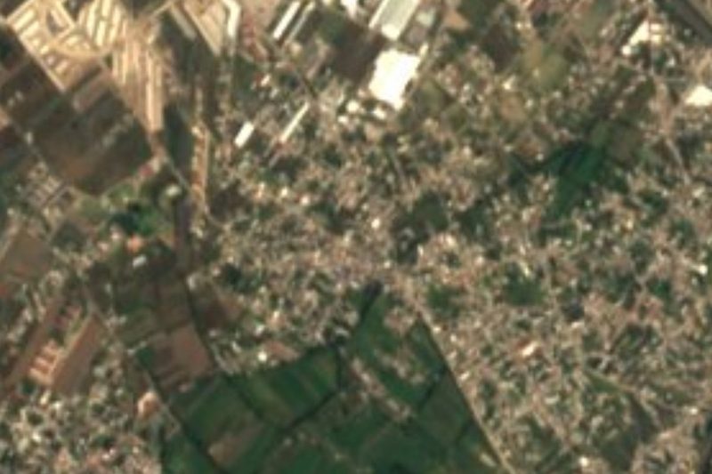
Cerro de San Juan, Centépetl in Nahuatl and today also Cerro de La Paz, is a small volcanic hill about 3 km west of central Puebla, beside the Atoyac River. It stands at about 2,200 m above sea level but rises only 40 m above its surroundings, and it is one of three hills framing the valley where the city was founded. Centépetl probably means "hill of maize"; in colonial times it was called San Juan Centepec after a hermitage to Saint John. Around 1600 Captain Gaspar de Jimena Villanueva built a chapel to the Virgen de Gracia on top; it was looted in 1645 and again in 1725, and left in ruins.
The hill mattered in the French Intervention. In 1863 Puebla's defenders left it unoccupied and General Frédéric Forey set up his headquarters there, a lapse counted among the reasons the city fell on 17 May after a two-month siege. In 1867 Porfirio Díaz took it unopposed on 9 March and lodged in Manuel María de Zamacona's house on the summit. Before dawn on 2 April a resin-soaked cloth set alight on the hilltop signalled the assault that returned Puebla to the Republic. The street his troops marched down became Avenida del Vencedor, then Avenida de la Paz, and since 1906 Avenida Juárez.
From 1932 the hill was laid out as the La Paz neighbourhood on garden-city lines, and today it is almost entirely built over, with offices, restaurants, schools and hotels. On top stands the parish of Nuestra Señora del Sagrado Corazón, the "Iglesia del Cielo", visible from much of the city, beside a civic square with a monument to the Mexican flag.
How to get to Cerro de San Juan
Drive from Puebla: 10 min, 5 km
The hill is inside the city, about 3 km west of Puebla's zócalo. From downtown follow Avenida Juárez, which ends at the foot of the hill; it is also ringed by the Recta a Cholula, Boulevard Atlixco, Boulevard Esteban de Antuñano and Avenida Reforma. It is a transport hub between downtown, the north, the south-west, Zavaleta and Cholula, so many city bus routes pass by; by taxi or car it is a few minutes from the zócalo. Cholula is about 9 km away.
Directions to Cerro de San Juan on Google Maps
Distances are in a straight line; the road is usually longer.
Links open a partner site. We may earn a commission if you book, at no cost to you.
From the nearest cities to Cerro de San Juan
- Puebla · 5 km by road, 10 min
- Atlixco · 32 km by road, 30 min
- Chiautempan · 34 km by road, 35 min
Drive times by road from OpenStreetMap, without traffic or stops. Times marked ~ are estimated from the straight-line distance.
Visiting Cerro de San Juan: what to see and do
The Sagrado Corazón parish church, the "Iglesia del Cielo", on top.
The civic square with its monument to the flag.
The view over central Puebla and the valley.
Avenida Juárez, running from the hill toward downtown, lined with restaurants.
The tree-lined streets of the La Paz neighbourhood.
Plan your trip
Places to stay in Cerro de San Juan
Compare hotels, posadas, and rentals in and around Cerro de San Juan.
Tours & activities
Day trips and guided outings from Cholula often include Cerro de San Juan; with a local guide you can get there without a car.
Rental cars
Pick up a car at PBC (Puebla): about 16 min by road to Cholula, then 9 km more to Cerro de San Juan, on your own schedule.
Flights
The nearest airport with scheduled flights is Puebla (PBC), about 16 min by road from Cholula, the base for Cerro de San Juan.
Travel insurance
If you plan on hiking at altitude at Cerro de San Juan, check that your policy covers it: some plans leave adventure activities out.
Mobile data
Signal can drop away from Cholula: download a map of the way to Cerro de San Juan before you set out, or carry an eSIM with data.
Links open a partner site. We may earn a commission if you book, at no cost to you.
When to go to Cerro de San Juan mild
Cerro de San Juan shares the climate of Cholula, 9 km away. The best months to visit are January, February, March, and December.
For the clearest views from Cerro de San Juan, go in the driest months (January, February, March, and December); in the rains, clouds tend to build up by midday.
See the month-by-month climate of Cholula
Weather in Cerro de San Juan now and the next 7 days
Live forecast from Open-Meteo. Chance of rain is the day's highest.
The closest Pueblo Mágico: Cholula

Cholula is the Pueblo Mágico closest to Cerro de San Juan, with places to stay, food, and more to see.
Also close to
- Huejotzingo · Puebla · 22 km away
- Atlixco · Puebla · 26 km away
- Ixtenco · Tlaxcala · 38 km away
- Huamantla · Tlaxcala · 43 km away
- Tlaxco · Tlaxcala · 63 km away
Closest to Cerro de San Juan
-
Cuexcomate · Mountain · 2 km away
-
Museo Nacional de los Ferrocarriles Mexicanos · Landmark · 2 km away
-
Biblioteca Palafoxiana · Landmark · 3 km away
-
Capilla de San Ildefonso · Landmark · 3 km away
-
Capilla del Rosario · Landmark · 3 km away
-
Catedral de Puebla · Landmark · 3 km away
-
Museo Amparo · Landmark · 3 km away
-
Puebla · City · 3 km away


Near Cerro de San Juan



Drive times by road from OpenStreetMap, without traffic. Times marked ~ are estimated from the straight-line distance.
Lists with Cerro de San Juan
Mountains in Puebla · 8 Mountains near Puebla · 10 Mountains near Cholula · 11 Mountains near Huejotzingo · 12 Mountains near Atlixco · 9 Mountains near Chiautempan · 13 Mountains near San Martín Texmelucan · 16 Mountains near Huamantla · 11Location from OpenStreetMap. Written by Puebloteca.