12 mountains · within 60 km
There are 12 mountains within 60 km of Huejotzingo in a straight line, an hour or a little more by road. The closest is Tecajete, 10 km away; the farthest, Cerro Xico, is 57 km. They are listed under the Pueblos Mágicos of Ixtenco and Huejotzingo, which make good bases.
Start early: summits are usually clearest in the morning, and rainy-season afternoons bring clouds and storms. Nights get cold at altitude.
Best months, when most of these towns are dry with comfortable afternoons: Jan, Feb, Mar, Dec.
The Mountains 12
-
Tecajete · Mountain · 10 km from Huejotzingo · Puebla
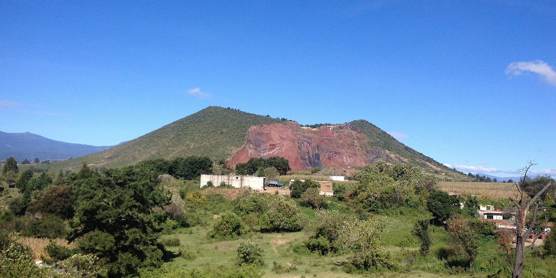
A 2,460 m cinder cone by San Miguel Papaxtla in the Puebla valley; a short, steep path climbs to its crater and two peaks. -
Cuexcomate · Mountain · 21 km from Huejotzingo · Puebla
The "world's smallest volcano", actually an extinct 13 m geyser cone on the square of La Libertad in Puebla city; a spiral staircase leads inside. -
Cerro de San Juan · Mountain · 22 km from Huejotzingo · Puebla
The hill of Puebla's La Paz district, west of downtown: Forey's camp in 1863 and Porfirio Díaz's in 1867, now topped by the Iglesia del Cielo. -
Pico Teyotl · Mountain · 25 km from Huejotzingo · Puebla
A summit of about 4,600 m on the Iztaccíhuatl massif, "where stones are born", inside Izta-Popo national park, in San Salvador el Verde. -
Paso de Cortés · Mountain · 26 km from Huejotzingo
The high pass between Popocatépetl and Iztaccíhuatl, at about 3,700 m, inside the Izta-Popo national park. -
Papayo · Mountain · 35 km from Huejotzingo · Estado de México
A lava dome of about 3,600 m, the youngest and southernmost peak of the Sierra de Río Frío, between Telapón and Iztaccíhuatl. -
Cuatlapanga · Mountain · 39 km from Huejotzingo · Tlaxcala
A 2,917 m volcanic hill on the flanks of La Malinche, climbed in about an hour from Cuaxomulco on a trail with 14 chapels up to Cristo Rey. -
Parque Nacional La Malinche · Mountain · 39 km from Huejotzingo · Near Ixtenco
The dormant volcano that towers over eastern Tlaxcala, with pine forest, a mountain lodge and a full-day hike to the 4,400 m summit. -
Monte Tláloc · Mountain · 43 km from Huejotzingo · Estado de México
A 4,120 m volcano between Texcoco and Ixtapaluca with a shrine to the rain god on top, climbed on foot from Río Frío. -
Cerro Xalapasco · Mountain · 52 km from Huejotzingo · Near Ixtenco
A low volcanic hill right outside Ixtenco, pitted with several maar craters; an easy hike with views of La Malinche and the plains. -
Cerro El Pinal · Mountain · 53 km from Huejotzingo · Near Ixtenco
A 3,280 m forested peak just over the Puebla line, a moderate half-day hike through well-kept oak and fir forest. -
Cerro Xico · Mountain · 57 km from Huejotzingo · Estado de México
A near-perfect tuff ring in the old Lake Chalco bed, the so-called navel of the world, with fields in the crater and a community museum at its foot.


On the map
Distances are in a straight line; roads add about a third.
Where to stay
The Pueblos Mágicos these places are closest to, each with hotels, food and getting-there notes.


More places like these
More around Huejotzingo
Mountains elsewhere
Names and locations from OpenStreetMap; notes and write-ups are our own.