6 mountains
Jalisco has 6 mountains with their own page on Puebloteca, near the Pueblos Mágicos of Mascota, San Sebastián del Oeste, and Tequila. The closest to a pueblo is Cerro El Molcajete, 4 km from Mascota; the farthest out is Cerro de la Bufa, 27 km from San Sebastián del Oeste.
Start early: summits are usually clearest in the morning, and rainy-season afternoons bring clouds and storms. Nights get cold at altitude.
Best months, when most of these towns are dry with comfortable afternoons: Jan, Mar, Nov, Dec.
The Mountains 6
-
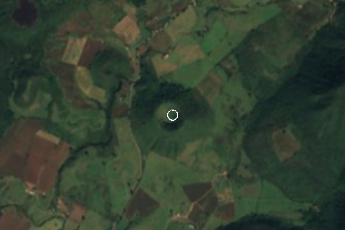
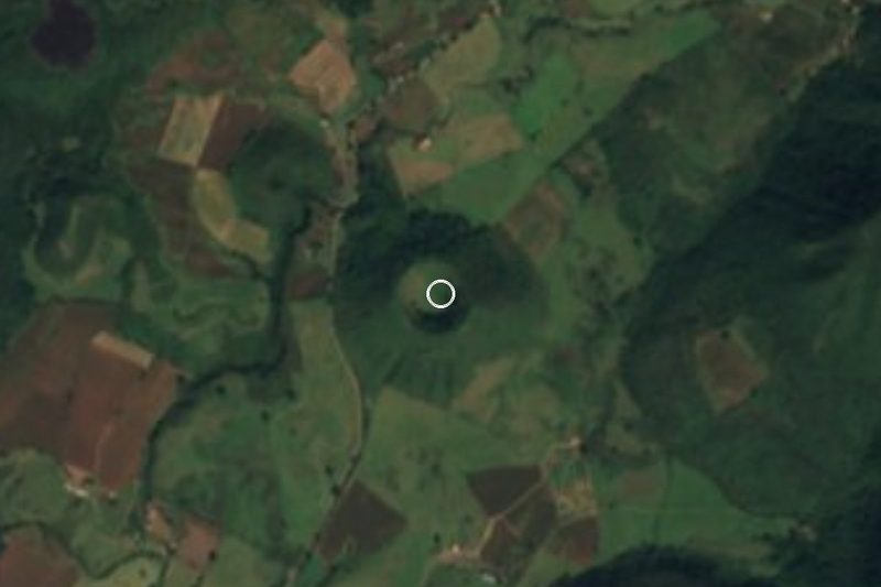
Cerro El Molcajete · Mountain · 4 km from Mascota
An extinct volcanic cone just north of Mascota; a steep, forested climb rewarded with a view over the whole valley and town. -
Volcán de Tequila · Mountain · 11 km from Tequila
The extinct volcano behind town, about 2,900 m high, with a rock spire called La Tetilla in its crater and a cobbled road up its flank. -
Cerro de la Bufa · Mountain · 27 km from San Sebastián del Oeste
The peak above San Sebastián, over 2,400 m high: on clear days you look down on the clouds and out to Banderas Bay. -
Cerro del Cuatro · Mountain · San Pedro Tlaquepaque
Extinct scoria hill of about 1,870 m in Tlaquepaque, the highest point of the Guadalajara metro area, topped with broadcast antennas. -
La Mesa Redonda · Mountain · Lagos de Moreno
Flat-topped basalt hill at 2,080 m southwest of Lagos de Moreno, site of a 1935 Cristero battle and a goal for hikers and pilgrims. -
Nevado de Colima · Mountain · Tuxpan
The higher, long-extinct twin of the Volcán de Fuego, about 4,260 m and sometimes snow-capped; its summit lies in Tuxpan, Jalisco, reached from Ciudad Guzmán.


On the map
Distances are in a straight line; roads add about a third.
Where to stay
The Pueblos Mágicos these places are closest to, each with hotels, food and getting-there notes.


More places like these
More in Jalisco
Waterfalls in Jalisco · 7
Ruins in Jalisco · 3
Lakes and Lagoons in Jalisco · 7
Beaches in Jalisco · 20
Nature Parks in Jalisco · 17
Viewpoints in Jalisco · 4
Mountains elsewhere
Mountains in Ciudad de México · 9
Mountains in Estado de México · 8
Mountains in Nuevo León · 4
Mountains in Puebla · 8
Mountains in Tlaxcala · 6
Mountains near Aculco · 3
Mountains near Amatlán de Cañas · 3
Mountains near Arteaga · 3
Mountains near Atlixco · 9
Mountains near Chiautempan · 13
Mountains near Chignahuapan · 3
Mountains near Cholula · 11
All lists by kind and region
Names and locations from OpenStreetMap; notes and write-ups are our own.