

Mountain Lagos de Moreno, Jalisco
Flat-topped basalt hill at 2,080 m southwest of Lagos de Moreno, site of a 1935 Cristero battle and a goal for hikers and pilgrims.
From Lagos de Moreno: 20 min by car (14 km by road) How to get there ↓
Near here
See everything nearby ↓


Plan your visit to La Mesa Redonda
Where to stay near La Mesa Redonda
Compare hotels, posadas and guest houses in La Mesa Redonda.
Tours to La Mesa Redonda
Day trips and guided outings from Lagos de Moreno often include La Mesa Redonda; with a local guide you can get there without a car.
 Tours from Guanajuato City
Private walking tour in Guanajuato (available from 1 person)
★ 4.9 (374) · From US$53
How to get to La Mesa Redonda
- From Lagos de Moreno: about 20 min by road (~14 km)
- Nearest airport: Aguascalientes (AGU), 1 h by car to Lagos de Moreno
Links open a partner site. We may earn a commission if you book, at no cost to you.
Tours from Guanajuato City, near La Mesa Redonda


Tours, prices and ratings from Viator, checked weekly. We may earn a commission if you book.
About La Mesa Redonda
La Mesa Redonda is the flat-topped hill rising from the Río Lagos valley southwest of the city of Lagos de Moreno, in the Altos de Jalisco. Its summit reaches 2,080 metres above sea level, about 235 metres above the valley floor, and the top is an oval plateau of some 38.7 hectares stretched north to south. It is made of basalt laid down in the Tertiary and Quaternary, and the cliffs around the rim stand out from far away. The nearest settlement is Paso de la Mesa.
The area was settled by the Spanish in 1565, when Pedro de Anda founded the nearby Hacienda El Jaral, and the camino real used by pilgrims walking to the Virgin of San Juan de los Lagos ran along the foot of the hill. For generations it was known as the Mesa Redonda de los Villalobos, after the family that held the estate from shortly after 1700 until the late 19th century; today the land is split among several owners and former haciendas such as Lo de Ponce and Churintzio.
Its best-known moment is the battle of the Mesa Redonda, during the second Cristero uprising. From 20 to 22 October 1935, though some accounts date it to 1932, a band of Cristeros led by Martín Díaz dug in on the summit. The army came up with infantry and cavalry while two small aircraft strafed the mesa; the defenders rolled rocks down the slopes and held out for about 36 hours before slipping away at night amid a stampede of horses through the only way down. A photograph from the time shows more than 15 rebels killed in those days, and the story lives on in a corrido about Captain Martín Díaz.
Today the mesa is a hiking and pilgrimage spot, with open-air masses that draw dozens of worshippers, and the whole Río Lagos valley spreads out below the summit. The top holds tropical woodland with colorín (Erythrina coralloides), prickly pears, Stenocereus columnar cacti and the pincushion cactus Mammillaria polythele, several of them considered threatened. Litter and fires left by some visitors have led Lagos de Moreno residents to form clean-up and ecological rescue brigades.
How to get to La Mesa Redonda
Drive from Lagos de Moreno: 20 min, 14 km
From central Lagos de Moreno, head out along Bulevar Orozco y Jiménez (Federal Highway 80 towards San Juan de los Lagos) and take the state road to Unión de San Antonio; follow the signs and the final stretch of rural roads to the foot of the hill, about 15 km and 20 minutes in all. From there you climb on foot along trails to the plateau. There are no published public transport routes to the hill, so a car or a taxi from Lagos is the practical option. Primera Plus and Ómnibus de Oriente buses reach Lagos de Moreno from Guadalajara in about two and a half hours, roughly 166 km.
Directions to La Mesa Redonda on Google Maps
Distances are in a straight line; the road is usually longer.
Links open a partner site. We may earn a commission if you book, at no cost to you.
From the nearest cities to La Mesa Redonda
- Lagos de Moreno · 14 km by road, 20 min
- San Juan de los Lagos · 43 km by road, 45 min
- León · 47 km by road, 45 min
Drive times by road from OpenStreetMap, without traffic or stops. Times marked ~ are estimated from the straight-line distance.
Visiting La Mesa Redonda: what to see and do
The view over the whole Río Lagos valley from the summit plateau.
The basalt cliffs ringing the mesa.
The site of the October 1935 Cristero battle.
The open-air masses held on the hill.
The woodland on top, with colorín trees, prickly pears, columnar cacti and pincushion cacti.
Plan your trip
Places to stay in La Mesa Redonda
Compare hotels, posadas, and rentals in and around La Mesa Redonda.
Tours & activities
Day trips and guided outings from Lagos de Moreno often include La Mesa Redonda; with a local guide you can get there without a car.
Rental cars
Pick up a car at AGU (Aguascalientes): about 1 h by road to Lagos de Moreno, then 12 km more to La Mesa Redonda, on your own schedule.
Flights
The nearest airport with scheduled flights is Aguascalientes (AGU), about 1 h by road from Lagos de Moreno, the base for La Mesa Redonda.
Travel insurance
If you plan on hiking at altitude at La Mesa Redonda, check that your policy covers it: some plans leave adventure activities out.
Mobile data
Signal can drop away from Lagos de Moreno: download a map of the way to La Mesa Redonda before you set out, or carry an eSIM with data.
Links open a partner site. We may earn a commission if you book, at no cost to you.
When to go to La Mesa Redonda mild
La Mesa Redonda shares the climate of Lagos de Moreno, 12 km away. The best months to visit are January, March, April, and November.
For the clearest views from La Mesa Redonda, go in the driest months (January, March, April, and November); in the rains, clouds tend to build up by midday.
See the month-by-month climate of Lagos de Moreno
Weather in La Mesa Redonda now and the next 7 days
Live forecast from Open-Meteo. Chance of rain is the day's highest.
The closest Pueblo Mágico: Lagos de Moreno

Lagos de Moreno is the Pueblo Mágico closest to La Mesa Redonda, with places to stay, food, and more to see.
Also close to
- Jalpa de Cánovas · Guanajuato · 45 km away
- Temacapulín · Jalisco · 73 km away
Closest to La Mesa Redonda
-
Unión de San Antonio · Town · 17 km away
-
Comanja de Corona · Town · 31 km away
-
Purísima de Bustos · Town · 31 km away
-
San Francisco del Rincón · Town · 34 km away
-
San Juan de los Lagos · Town · 34 km away
-
Encarnación de Díaz · Town · 36 km away
-
León · City · 38 km away
-
Ibarrilla · Village · 39 km away

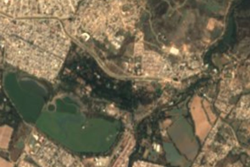
Near La Mesa Redonda


Drive times by road from OpenStreetMap, without traffic. Times marked ~ are estimated from the straight-line distance.
Lists with La Mesa Redonda
Mountains in Jalisco · 6Location from OpenStreetMap. Written by Puebloteca.