Village Tepatitlán de Morelos, Jalisco Municipality of Tepatitlán de Morelos
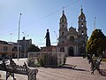
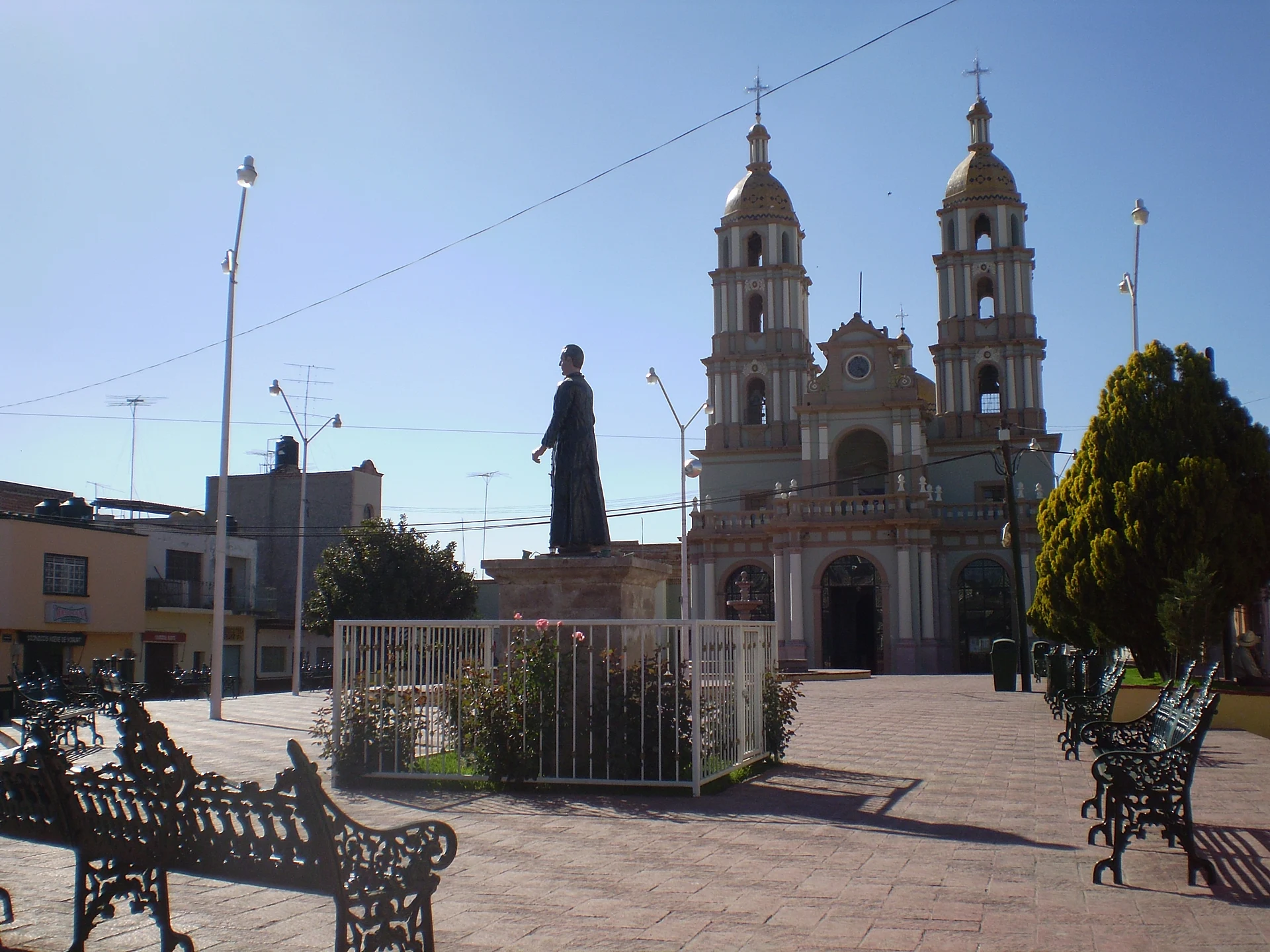
Tepatitlán delegation at km 100 of the Guadalajara-San Luis Potosí road, beside the Ceja de Pegueros, with a Sacred Heart parish church.
From Tepatitlán: 20 min by car (18 km by road) How to get there ↓
Near here
See everything nearby ↓


Plan your visit to Pegueros
Where to stay near Pegueros
Compare hotels, posadas and guest houses in Pegueros.
Tours to Pegueros
Day trips and guided outings from Temacapulín often include Pegueros; with a local guide you can get there without a car.
 Tours from Guadalajara
Full Day Tour to Tequila and Amatitán with Fun and Culture
★ 4.9 (751) · From US$44
How to get to Pegueros
- From Tepatitlán: about 20 min by road (~18 km)
- Nearest airport: Aguascalientes (AGU), 2 h 1 min by car to Temacapulín
Links open a partner site. We may earn a commission if you book, at no cost to you.
Tours from Guadalajara, near Pegueros


Tours, prices and ratings from Viator, checked weekly. We may earn a commission if you book.
About Pegueros
Pegueros is one of the six delegations of the municipality of Tepatitlán de Morelos, in Los Altos Sur de Jalisco, at about 1,880 metres above sea level. It stands on a wide plain beside the so-called Ceja de Pegueros and sits at kilometre 100 of the Guadalajara-San Luis Potosí road. At the 2020 census it had 4,848 inhabitants. It borders Capilla de Guadalupe, Valle de Guadalupe, Mirandillas and Mezcala de los Romero, and its climate is pleasant most of the year, with very cold winters.
In 1686 Melchor González de Hermocillo requested a cattle-ranch site called Pegero, and parish records mention a "puesto de Pegueros" from 1741. The most accepted explanation of the name links it to the muddy, sticky crossing in the rainy season.
The parish church of the Sacred Heart of Jesus began to rise on 8 March 1886; the work went slowly because of the residents' poverty, the first mass was held on 21 August 1896 and it was finished on 7 February 1902, now with its present dedication (it had been dedicated to Mary Magdalene). Doors, windows and bells from the old chapel of San Antonio Mazatitlán were reused, and on 25 July 1920 it became a parish.
The Sacred Heart fiesta has been held since 1902; a civic fiesta was added in the mid-1990s. It lasts nine days, with a beauty pageant, village theatre, charreadas and pilgrimages, and ends with the image carried through the village. The economy revolves around poultry, cattle and pig farming, with farms, feed mills and workshops.
How to get to Pegueros
Drive from Tepatitlán: 20 min, 18 km
Pegueros is at kilometre 100 of the Guadalajara-San Luis Potosí road, in the high part of Los Altos de Jalisco. From Guadalajara you reach it by that highway; the municipal seat, Tepatitlán de Morelos, of which Pegueros is a delegation, lies along the same corridor. The village sits on a plain beside the Ceja de Pegueros, and its neighbouring localities are Capilla de Guadalupe, Valle de Guadalupe, Mirandillas and Mezcala de los Romero.
There are no published bus lines or schedules; to come without a car, ask in Tepatitlán.
Directions to Pegueros on Google Maps
Distances are in a straight line; the road is usually longer.
Links open a partner site. We may earn a commission if you book, at no cost to you.
From the nearest cities to Pegueros
- Tepatitlán · 18 km by road, 20 min
- San Juan de los Lagos · 56 km by road, 45 min
- Arandas · 54 km by road, 50 min
Drive times by road from OpenStreetMap, without traffic or stops. Times marked ~ are estimated from the straight-line distance.
Visiting Pegueros: what to see and do
The parish church of the Sacred Heart of Jesus, finished in 1902.
The main plaza in front of the parish church.
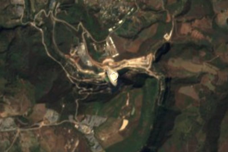
The Ceja de Pegueros, the edge of the plain on which the village stands.
The nine-day Sacred Heart fiesta, with charreadas and pilgrimages.
Plan your trip
Places to stay in Pegueros
Compare hotels, posadas, and rentals in and around Pegueros.
Tours & activities
Day trips and guided outings from Temacapulín often include Pegueros; with a local guide you can get there without a car.
Rental cars
Pick up a car at AGU (Aguascalientes): about 2 h 1 min by road to Temacapulín, then 26 km more to Pegueros, on your own schedule.
Flights
The nearest airport with scheduled flights is Aguascalientes (AGU), about 2 h 1 min by road from Temacapulín, the base for Pegueros.
Mobile data
Signal can drop away from Temacapulín: download a map of the way to Pegueros before you set out, or carry an eSIM with data.
Links open a partner site. We may earn a commission if you book, at no cost to you.
When to go to Pegueros mild
Pegueros shares the climate of Temacapulín, 26 km away. The best months to visit are January, March, April, and November.
See the month-by-month climate of Temacapulín
Weather in Pegueros now and the next 7 days
Live forecast from Open-Meteo. Chance of rain is the day's highest.
The closest Pueblo Mágico: Temacapulín

Temacapulín is the Pueblo Mágico closest to Pegueros, with places to stay, food, and more to see.
Also close to
- Nochistlán · Zacatecas · 49 km away
- Jalpa de Cánovas · Guanajuato · 72 km away
- Tlaquepaque · Jalisco · 75 km away
Closest to Pegueros
-
Valle de Guadalupe · Village · 8 km away
-
Mirandillas · Village · 13 km away
-
Capilla de Guadalupe · Town · 16 km away
-
Tepatitlán de Morelos · City · 18 km away
-
Cañadas de Obregón · Town · 22 km away
-
Presa El Zapotillo · Landmark · 25 km away
-
Jalostotitlán · Town · 31 km away
-
Acatic · Town · 32 km away


Near Pegueros


Drive times by road from OpenStreetMap, without traffic. Times marked ~ are estimated from the straight-line distance.
Location from OpenStreetMap. Written by Puebloteca.