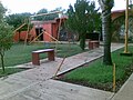
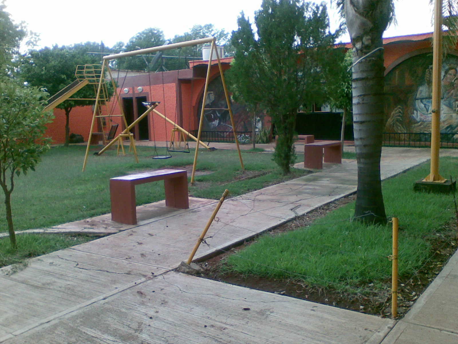
Village Acatic, Jalisco
Formerly Paredones, the second-largest locality in Acatic; Virgen del Refugio feast on 4 July and a tequila producer on the outskirts.
From Tepatitlán: 20 min by car (23 km by road) How to get there ↓
Near here
See everything nearby ↓


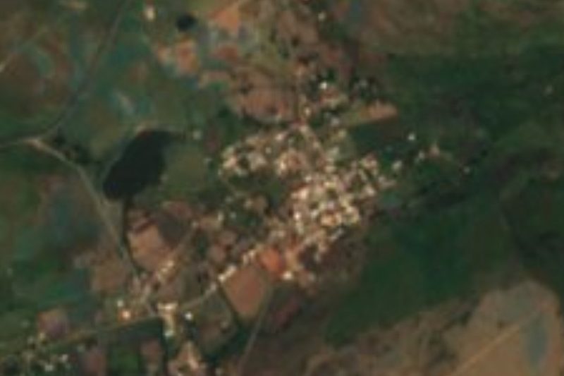

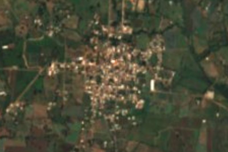
Plan your visit to El Refugio
Where to stay near El Refugio
Compare hotels, posadas and guest houses in El Refugio.
Tours to El Refugio
Day trips and guided outings from Tlaquepaque often include El Refugio; with a local guide you can get there without a car.
 Tours from Guadalajara
Full Day Tour to Tequila and Amatitán with Fun and Culture
★ 4.9 (751) · From US$44
How to get to El Refugio
- From Tepatitlán: about 20 min by road (~23 km)
- Nearest airport: Guadalajara (GDL), 26 min by car to Tlaquepaque
Links open a partner site. We may earn a commission if you book, at no cost to you.
Tours from Guadalajara, near El Refugio


Tours, prices and ratings from Viator, checked weekly. We may earn a commission if you book.
About El Refugio
El Refugio, formerly called Paredones, is the second-largest locality in the municipality of Acatic, in the Altos de Jalisco, at about 1,770 metres above sea level. The 2020 census counted 2,894 people. The 1823 Estadística de la Provincia de Guadalajara already lists Paredones as a commissariat of Acatic. In 1886 it was raised to a political and judicial commissariat and renamed El Refugio; in 1890 it became a pueblo, and by decree of 25 August 1970 it was made a villa under the name Gustavo Díaz Ordaz, though people still say El Refugio or Paredones.
The most visible building is the church of El Refugio, and the village has a second one, the Hermano Samuel Cortez church. The municipal delegation and the library are on calle Revolución. On the outskirts is the San Matías tequila producer, the only manufacturer on record, alongside a few shops and schools from preschool to high school.
The fiesta calendar is long: the Refugio de Paredones feast on the third Sunday of January, Candelaria from 24 January to 3 February, the Papaquis festival before Lent and the burning of Judas on the Saturday after Good Friday. St John the Baptist is honoured on 24 June, and the main feast, Nuestra Señora del Refugio, falls on 4 July.
How to get to El Refugio
Drive from Tepatitlán: 20 min, 23 km
El Refugio is about 60 km east of Guadalajara and about 6 km in a straight line from Acatic, the municipal seat. The municipal delegation is at Revolución 57 (phone 378 715 0942). A rural road of about 13 km links Acatic and Tepatitlán via El Saltillo. There are no published bus schedules to the village; the usual way is to reach Acatic first and continue from there. There is no lodging in the village itself: the nearest hotels are 6-10 km away, toward Acatic.
Directions to El Refugio on Google Maps
Distances are in a straight line; the road is usually longer.
Links open a partner site. We may earn a commission if you book, at no cost to you.
From the nearest cities to El Refugio
- Tepatitlán · 23 km by road, 20 min
- Guadalajara · 56 km by road, 45 min
- Ocotlán · 83 km by road, 1 h 5 min
Drive times by road from OpenStreetMap, without traffic or stops. Times marked ~ are estimated from the straight-line distance.
Before you go to El Refugio: hours, prices and tips
- Best season
- Refugio de Paredones on the third Sunday of January; Candelaria 24 January to 3 February; St John the Baptist on 24 June; Nuestra Señora del Refugio on 4 July. Wikipedia · checked Oct 2026
Hours and prices change, especially around holidays. Each fact links to where we checked it.
Visiting El Refugio: what to see and do
Church of El Refugio
Municipal delegation and library, on calle Revolución
Feast of Nuestra Señora del Refugio, 4 July
Candelaria, 24 January to 3 February
Plan your trip
Places to stay in El Refugio
Compare hotels, posadas, and rentals in and around El Refugio.
Tours & activities
Day trips and guided outings from Tlaquepaque often include El Refugio; with a local guide you can get there without a car.
Rental cars
Pick up a car at GDL (Guadalajara): about 26 min by road to Tlaquepaque, then 44 km more to El Refugio, on your own schedule.
Flights
The nearest airport with scheduled flights is Guadalajara (GDL), about 26 min by road from Tlaquepaque, the base for El Refugio.
Mobile data
Signal can drop away from Tlaquepaque: download a map of the way to El Refugio before you set out, or carry an eSIM with data.
Links open a partner site. We may earn a commission if you book, at no cost to you.
When to go to El Refugio mild
El Refugio shares the climate of Tlaquepaque, 44 km away. The best months to visit are January, March, November, and December.
See the month-by-month climate of Tlaquepaque
Weather in El Refugio now and the next 7 days
Live forecast from Open-Meteo. Chance of rain is the day's highest.
The closest Pueblo Mágico: Tlaquepaque

Tlaquepaque is the Pueblo Mágico closest to El Refugio, with places to stay, food, and more to see.
Also close to
- Temacapulín · Jalisco · 55 km away
- Ajijic · Jalisco · 61 km away
- Nochistlán · Zacatecas · 71 km away
Closest to El Refugio
-
Acatic · Town · 6 km away
-
Tepatitlán de Morelos · City · 17 km away
-
Zapotlanejo · Town · 21 km away
-
Teponahuasco · Village · 25 km away
-
Cuquío · Town · 26 km away
-
Matatlán · Village · 26 km away
-
Zapotlán del Rey · Village · 29 km away
-
Puente Grande · Town · 32 km away


Near El Refugio


Drive times by road from OpenStreetMap, without traffic. Times marked ~ are estimated from the straight-line distance.
Location from OpenStreetMap. Written by Puebloteca.