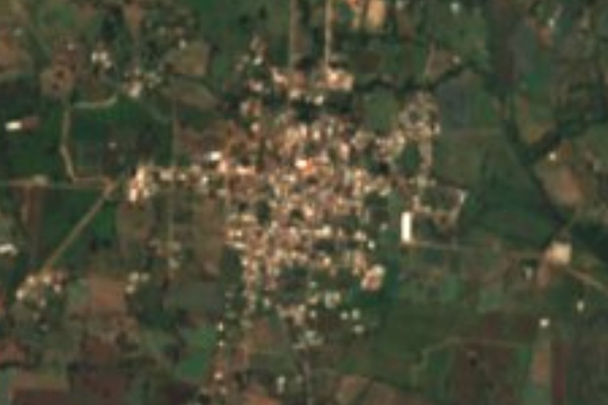
Village Zapotlanejo, Jalisco
Farming village in Zapotlanejo, about 28 km from Guadalajara, with Tecuexe roots, hot-spring falls in its ravine and a corn fair each September.
From Guadalajara: 45 min by car (32 km by road) How to get there ↓
Near here
See everything nearby ↓


Plan your visit to Matatlán
Where to stay near Matatlán
Compare hotels, posadas and guest houses in Matatlán.
Tours to Matatlán
Day trips and guided outings from Tlaquepaque often include Matatlán; with a local guide you can get there without a car.
How to get to Matatlán
- From Guadalajara: about 45 min by road (~32 km)
- Nearest airport: Guadalajara (GDL), 26 min by car to Tlaquepaque
Links open a partner site. We may earn a commission if you book, at no cost to you.
About Matatlán
Matatlán lies about 10 km northeast of Zapotlanejo and 28 to 30 km from Guadalajara, at roughly 1,560 metres above sea level. Its motto is "Pueblo de Fé". According to Wikipedia, the Tecuexes, its original inhabitants, settled the area around 1218; on 26 February 1526 Nuño de Guzmán recorded more than a thousand people here during his first exploration, and Spanish settlement began around 1523. The first crops were wheat and piloncillo. The name is a hybrid, partly of unknown origin and partly Nahuatl, and the popular version links it to net fishing on the Río Verde.
Farming still shapes the place: corn, agave and tomatoes are grown, there are cattle and beekeeping, and the dams are fished. A large reservoir sits beside the cemetery. In the Barranca de Matatlán are the Cascadas de la Llorona, seven hot-spring falls with pools, reached after more than an hour on foot over hanging bridges, worn stairs and rope-assisted sections. About 5 km east are the ruins of the Hacienda de Colimilla.
Matatlán was a chaplaincy of the Zapotlanejo parish, and the priest José Isabel Flores Varela served there for 26 years before being martyred in 1927 and canonized in 2000. The patron-saint festivities run 14 to 22 January, for the Virgin of Guadalupe and San José Isabel Flores; in June the Carricillo festivities bring Mass, a pilgrimage and a horse procession, and 20 September is the Feria del Elote.
How to get to Matatlán
Drive from Guadalajara: 45 min, 32 km
From Guadalajara the usual route is Av. Revolución toward Tonalá, then on toward Zapotlanejo and the turn-off to Matatlán, about 28 to 30 km by road; another source puts it at 33 km, nearly an hour, via Jalisco 106 past the Nuevo Periférico. Guadalajara's Nueva Central Camionera is in Tlaquepaque on the road out toward Zapotlanejo, and Tlaquepaque is about 18 km away (roughly 20 minutes). Matatlán is about 10 km northeast of Zapotlanejo's town centre. It can be reached by public transport, but with transfers and considerably more time; leave early on fair days because traffic builds up.
Directions to Matatlán on Google Maps
Distances are in a straight line; the road is usually longer.
Links open a partner site. We may earn a commission if you book, at no cost to you.
From the nearest cities to Matatlán
- Guadalajara · 32 km by road, 45 min
- Tepatitlán · 62 km by road, 1 h
- Ocotlán · 74 km by road, 1 h 10 min
Drive times by road from OpenStreetMap, without traffic or stops. Times marked ~ are estimated from the straight-line distance.
Before you go to Matatlán: hours, prices and tips
- Best season
- Patron-saint festivities 14–22 January; Carricillo festivities in June; Feria del Elote on 20 September. Wikipedia · checked Oct 2026
- What to bring
- For the falls: suitable footwear, sunscreen, insect repellent and a swimsuit; the trail demands good fitness. El Informador · checked Oct 2026
Hours and prices change, especially around holidays. Each fact links to where we checked it.
Visiting Matatlán: what to see and do
The Cascadas de la Llorona, seven hot-spring falls in the ravine (over an hour's hike).
The large reservoir beside the cemetery.
The ruins of the Hacienda de Colimilla, about 5 km east.
The Feria del Elote on 20 September.
The January festivities for the Virgin of Guadalupe and San José Isabel Flores.
Plan your trip
Places to stay in Matatlán
Compare hotels, posadas, and rentals in and around Matatlán.
Tours & activities
Day trips and guided outings from Tlaquepaque often include Matatlán; with a local guide you can get there without a car.
Rental cars
Pick up a car at GDL (Guadalajara): about 26 min by road to Tlaquepaque, then 18 km more to Matatlán, on your own schedule.
Flights
The nearest airport with scheduled flights is Guadalajara (GDL), about 26 min by road from Tlaquepaque, the base for Matatlán.
Mobile data
Signal can drop away from Tlaquepaque: download a map of the way to Matatlán before you set out, or carry an eSIM with data.
Links open a partner site. We may earn a commission if you book, at no cost to you.
When to go to Matatlán mild
Matatlán shares the climate of Tlaquepaque, 18 km away. The best months to visit are January, March, November, and December.
See the month-by-month climate of Tlaquepaque
Weather in Matatlán now and the next 7 days
Live forecast from Open-Meteo. Chance of rain is the day's highest.
The closest Pueblo Mágico: Tlaquepaque

Tlaquepaque is the Pueblo Mágico closest to Matatlán, with places to stay, food, and more to see.
Also close to
- Ajijic · Jalisco · 47 km away
- Temacapulín · Jalisco · 70 km away
- Tequila · Jalisco · 74 km away
- Nochistlán · Zacatecas · 79 km away
- Cocula · Jalisco · 80 km away
Closest to Matatlán
-
Zapotlanejo · Town · 13 km away
-
Tonalá · Town · 14 km away
-
Puente Grande · Town · 16 km away
-
Barranca de Huentitán · Nature reserve · 17 km away
-
Parque Mirador Independencia · Viewpoint · 17 km away
-
Analco · Village · 20 km away
-
Bosque Urbano Tlaquepaque · Nature reserve · 20 km away
-
Parque Morelos · Nature reserve · 20 km away


Near Matatlán


Drive times by road from OpenStreetMap, without traffic. Times marked ~ are estimated from the straight-line distance.
Location from OpenStreetMap. Written by Puebloteca.