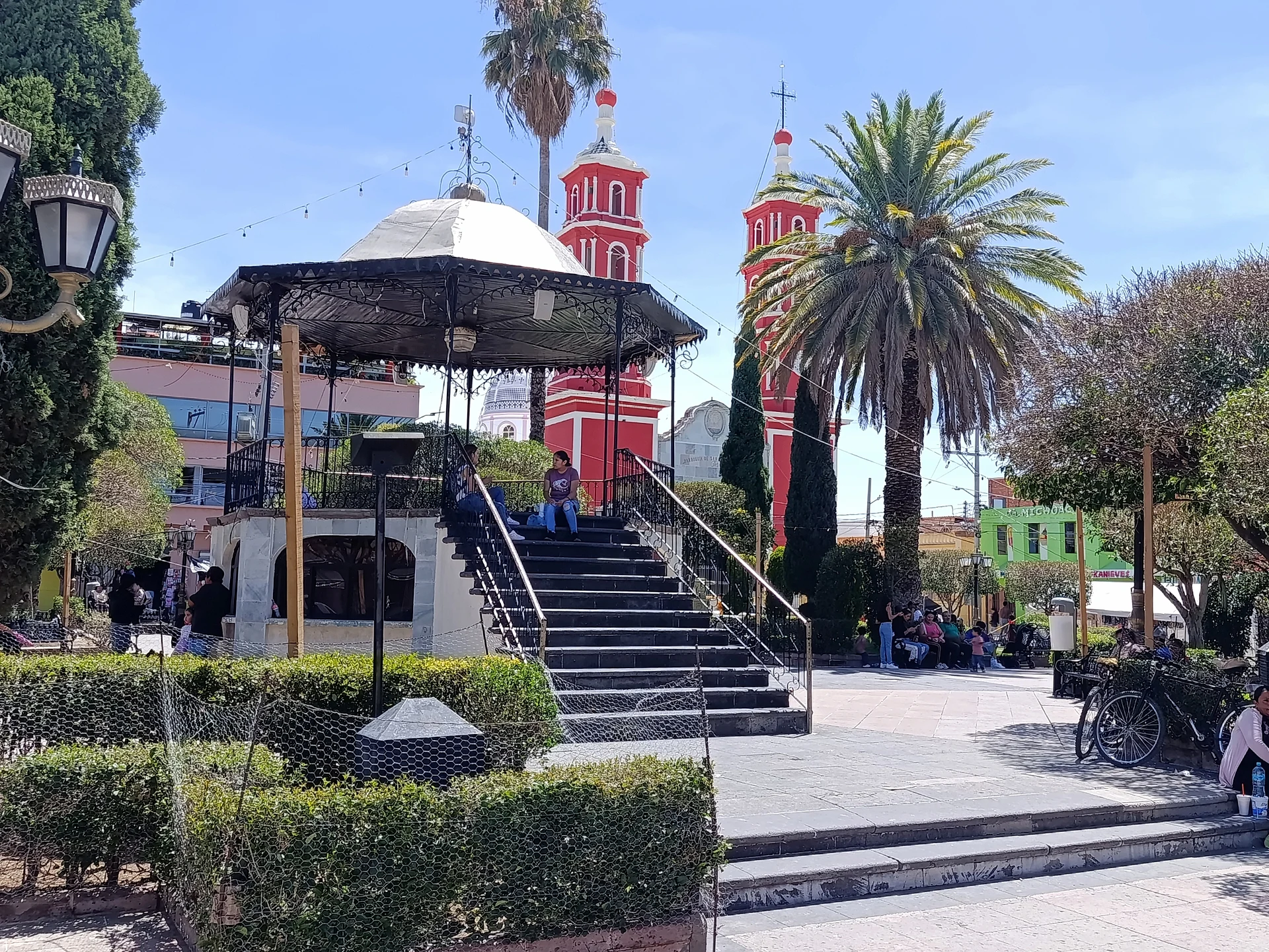
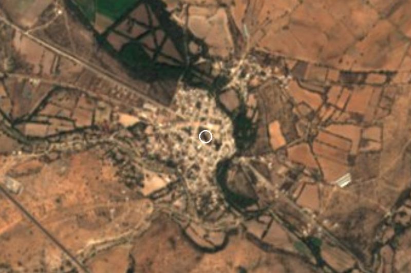
Town Ocampo, Guanajuato
A ranching town in Guanajuato's far northwest, on the Jalisco and San Luis Potosí borders, and the gateway to the El Cóporo archaeological site.
From Lagos de Moreno: 55 min by car (75 km by road) How to get there ↓
Near here
See everything nearby ↓



Plan your visit to Ocampo
Where to stay near Ocampo
Compare hotels, posadas and guest houses in Ocampo.
Tours to Ocampo
Day trips around Lagos de Moreno sometimes stop in Ocampo; a tour is the easy way to see it without a car.
 Tours from Guanajuato City
Private walking tour in Guanajuato (available from 1 person)
★ 4.9 (374) · From US$53
How to get to Ocampo
- From Lagos de Moreno: about 55 min by road (~75 km)
- Nearest airport: Aguascalientes (AGU), 1 h by car to Lagos de Moreno
Links open a partner site. We may earn a commission if you book, at no cost to you.
Tours from Guanajuato City, near Ocampo


Tours, prices and ratings from Viator, checked weekly. We may earn a commission if you book.
About Ocampo
Ocampo sits in the far northwest corner of Guanajuato, where the state meets Jalisco, Zacatecas and San Luis Potosí. The town, at 2,259 m, has 7,324 people (2020) and is the seat of a municipality of about 1,132 km² and 26,383 residents. It is named after Melchor Ocampo, the 19th-century liberal thinker. Its land was once part of San Felipe and split off for political reasons to form a municipality of its own.
The coat of arms sums up local life: Saint John the Baptist, the patron; a prickly pear with a crate of tunas, a maguey and the ococote, the gourd used to draw off aguamiel (maguey sap); farming and cattle; and Saint Isidore the Farmer, namesake of the old San Juan del Baquero hacienda. In the mid-19th century the Guanajuato–Tampico road brought trade to San Felipe and Ocampo, and in the 1920s the Cristero War brought fighting and religious persecution to both municipalities. The town has grown slowly but steadily: 1,246 people in 1900, 3,082 in 1950, 6,208 in 2000.
Fiestas set the calendar. The biggest is 24 June, Saint John the Baptist: after nine days of novenas, the day begins at 5 am with the alba, church bells, rockets and a brass band playing las mañanitas, continues with the 11 am feast-day Mass and ends with fairground rides, fireworks and a dance. From 8 to 12 December the Virgin of Guadalupe is carried into her sanctuary with floats, Aztec dancers and matlachines; on the 12th the community of La Escondida brings the Entrada de la Cera, a candle offering that dates from the end of the Cristero persecution. Holy Week has a living Way of the Cross through the streets, and Lent brings capirotada and nopalitos.
About 19 km away by road is El Cóporo, a pre-Hispanic settlement occupied between 500 and 900 AD on the western foothills of the Sierra de Santa Bárbara. It is one of the few archaeological sites in the state, with mounds and ceremonial structures.
How to get to Ocampo
Drive from Lagos de Moreno: 55 min, 75 km
By car: Ocampo lies just off Federal Highway 51 (Dolores Hidalgo–Ojuelos de Jalisco). The turn-off for the town is at km 87.5, about 36 km past the San Felipe junction; from there Highway 51 runs another 17 km to the Jalisco state line and meets the San Luis Potosí–Lagos de Moreno highway at km 113.5. Lagos de Moreno, the nearest Pueblo Mágico, is about 57 km away in a straight line (roughly 1 hour 5 minutes). From León, take the road to San Felipe and follow the signs for Ocampo at the San Felipe/Ocampo junction.
By bus: Coordinados, a Grupo Flecha Amarilla line, links San Felipe and Ocampo in about half an hour, with around five departures a day; the same line reaches San Felipe from Dolores Hidalgo or San Miguel de Allende. By car, San Felipe–Ocampo is about 35 km, around 35 minutes. There is no public transport to El Cóporo: from Ocampo take the road toward León, turn left after about 13 km at the El Torreón turn-off and continue 6 km to the visitor center.
Directions to Ocampo on Google Maps
Distances are in a straight line; the road is usually longer.
Links open a partner site. We may earn a commission if you book, at no cost to you.
From the nearest cities to Ocampo
- Lagos de Moreno · 75 km by road, 55 min
- León · 75 km by road, 1 h 20 min
- Dolores Hidalgo · 87 km by road, 1 h 25 min
Drive times by road from OpenStreetMap, without traffic or stops. Times marked ~ are estimated from the straight-line distance.
Before you go to Ocampo: hours, prices and tips
- Hours
- El Cóporo archaeological site: Tuesday to Sunday, 10 am to 6 pm; last entry at 4 pm. INAH · checked Oct 2026
- Entry
- El Cóporo: FIARCA fee of 65 pesos for adults and 20 pesos for children. INAH · checked Oct 2026
- Time needed
- The El Cóporo tour takes more than two hours, which is why the last one starts at 4 pm. Guanajuato.mx · checked Oct 2026
- Best season
- 24 June, Saint John the Baptist, the main fiesta; 8 to 12 December, Virgin of Guadalupe; Holy Week with a living Way of the Cross on Good Friday. Ocampo-gto.com (Parroquia San Juan Bautista) · checked Oct 2026
- Rules
- No smoking, food or pets at El Cóporo. There is parking and there are toilets. INAH · checked Oct 2026
Hours and prices change, especially around holidays. Each fact links to where we checked it.
Visiting Ocampo: what to see and do
Visit the parish church of San Juan Bautista downtown and the church of San Pedro Apóstol.
Stroll the main square in front of the town hall.
Go up to the El Cóporo archaeological site, with mounds and ceremonial structures from 500 to 900 AD; the tour takes over two hours.
Head out to the San Agustín reservoir and to Los Charcos and La Haciendita.
Come on 24 June for the dawn alba and the feast of Saint John the Baptist, or on 12 December for the Entrada de la Cera.
Plan your trip
Places to stay in Ocampo
Compare hotels, posadas, and rentals in and around Ocampo.
Tours & activities
Day trips around Lagos de Moreno sometimes stop in Ocampo; a tour is the easy way to see it without a car.
Rental cars
Pick up a car at AGU (Aguascalientes): about 1 h by road to Lagos de Moreno, then 56 km more to Ocampo, on your own schedule.
Flights
The nearest airport with scheduled flights is Aguascalientes (AGU), about 1 h by road from Lagos de Moreno, the base for Ocampo.
Mobile data
Signal can drop away from Lagos de Moreno: download a map of the way to Ocampo before you set out, or carry an eSIM with data.
Links open a partner site. We may earn a commission if you book, at no cost to you.
When to go to Ocampo mild
Ocampo shares the climate of Lagos de Moreno, 56 km away. The best months to visit are January, March, April, and November.
See the month-by-month climate of Lagos de Moreno
Weather in Ocampo now and the next 7 days
Live forecast from Open-Meteo. Chance of rain is the day's highest.
The closest Pueblo Mágico: Lagos de Moreno

Lagos de Moreno is the Pueblo Mágico closest to Ocampo, with places to stay, food, and more to see.
Also close to
- Pinos · Zacatecas · 73 km away
- Dolores Hidalgo · Guanajuato · 78 km away
- Santa María del Río · San Luis Potosí · 79 km away
Closest to Ocampo
-
Ojuelos de Jalisco · Town · 27 km away
-
San Felipe · Town · 33 km away
-
Comanja de Corona · Town · 43 km away
-
Hacienda de Bledos · Landmark · 43 km away
-
Jaral de Berrios · Village · 48 km away
Near Ocampo

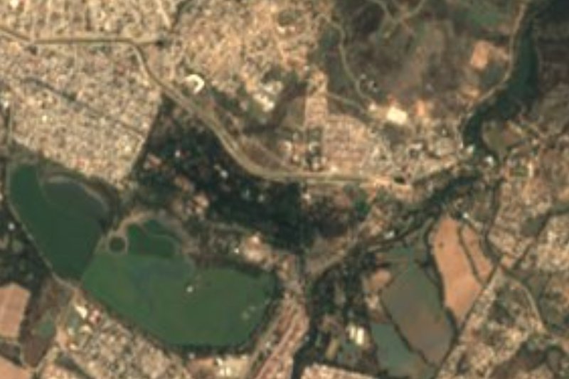

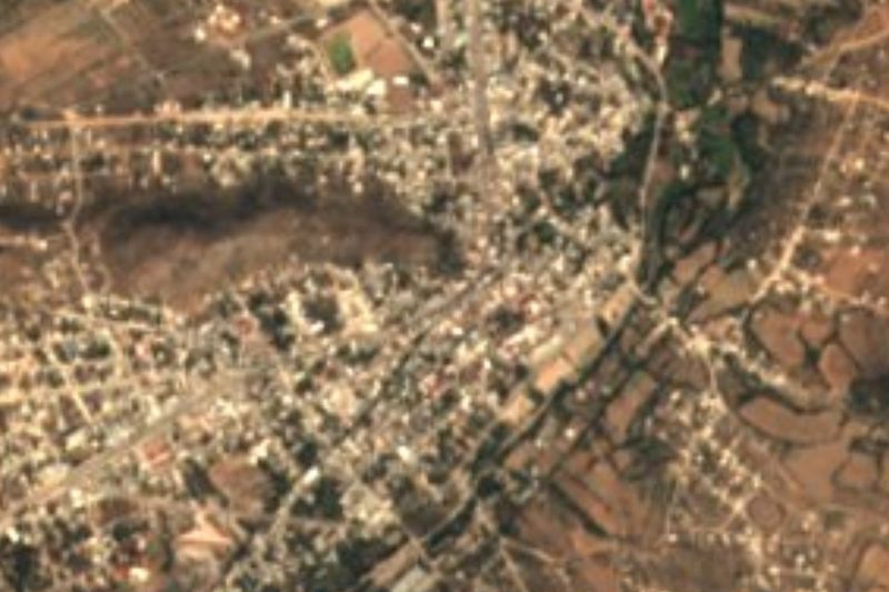
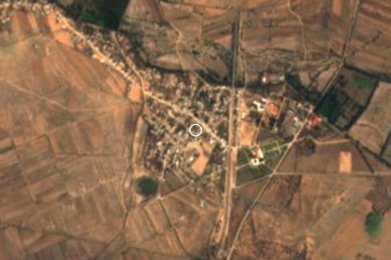


Drive times by road from OpenStreetMap, without traffic. Times marked ~ are estimated from the straight-line distance.
Location from OpenStreetMap. Written by Puebloteca.