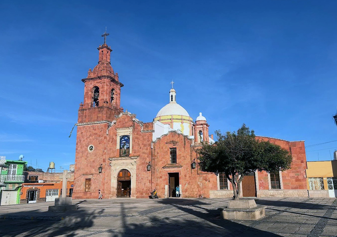
Town Ojuelos de Jalisco, Jalisco
Jalisco's easternmost town, founded as a fort on the silver road; its fort, its 102-arch Parián and its bridge are part of a World Heritage Site.
From Lagos de Moreno: 1 h by car (78 km by road) How to get there ↓
Plan your visit to Ojuelos de Jalisco
Where to stay near Ojuelos de Jalisco
Compare hotels, posadas and guest houses in Ojuelos de Jalisco.
Tours to Ojuelos de Jalisco
Day trips around Pinos sometimes stop in Ojuelos de Jalisco; a tour is the easy way to see it without a car.
 Tours from San Luis Potosi City
Xilitla Surrealistic Garden and Huahuas Abyss Tour
★ 4.9 (251) · From US$72
How to get to Ojuelos de Jalisco
- From Lagos de Moreno: about 1 h by road (~78 km)
- Nearest airport: San Luis Potosí (SLP), 1 h 35 min by car to Pinos
Links open a partner site. We may earn a commission if you book, at no cost to you.
Tours from San Luis Potosi City, near Ojuelos de Jalisco


Tours, prices and ratings from Viator, checked weekly. We may earn a commission if you book.
About Ojuelos de Jalisco
Ojuelos de Jalisco is the seat of Jalisco's easternmost municipality, in the Altos Norte region, at 2,223 metres on a high plain where the state meets Aguascalientes, Zacatecas, Guanajuato and San Luis Potosí. The 2020 census counted 14,424 people in the town, almost 43% of the municipality. The name refers to the many springs (ojos de agua) and pastures found here when it was founded, and the "de Jalisco" recalls an old dispute: in 1862 Zacatecas declared only half the town a municipality, because the state line ran down one of its central streets. Residents campaigned under the slogan "Ojuelos es de Jalisco" until, in 1874, the whole town was placed in Jalisco and became a municipality.
The area was Chichimec and Guachichil country. In 1569, on the orders of Viceroy Martín Enríquez de Almanza, a fort or presidio was built here to protect the convoys carrying silver from Zacatecas to Mexico City, which were being raided by the Guachichil leader Maxorro. It was one of seven forts built along what became the Camino Real de Tierra Adentro, and the only one still standing with much of its original structure. Today it houses the municipal government. The site later became a cattle ranch, then a hacienda, and in 1811 the surrounding hills sheltered guerrillas who held up stagecoaches coming from the mines.
In 2010 UNESCO inscribed the historic centre of Ojuelos, including the fort and the Parián, and the Ojuelos bridge as part of the Camino Real de Tierra Adentro World Heritage Site. The Parián is a square enclosed by 102 pointed arches of white stone, designed in the late 19th century by the priest Luis G. Maciel. On the main plaza, between the town hall and the church of San José, a colourful sign calls Ojuelos the "Heart of Mexico", although the geographic centre calculated by INEGI lies in Zacatecas.
The municipality is fighting-bull country, home to ranches such as La Alianza de San Fermín, founded by the bullfighter Fermín Rivera, and Chinampas. The town makes wool sarapes, pottery, colonial-style furniture, rompope (eggnog) and melcocha, a chewy prickly-pear sweet. The archive of the old Hacienda de San José de Ojuelos, covering the 18th and 19th centuries, survives almost complete in the Casa de la Cultura.
How to get to Ojuelos de Jalisco
Drive from Lagos de Moreno: 1 h, 78 km
Ojuelos sits at the junction of Federal Highways 51, 70 and 80. From Lagos de Moreno it is about 78 km, roughly 1 h; from Aguascalientes about 83 km, roughly 1 h 10 min; from San Luis Potosí about 82 km, roughly 1 h 15 min; from León about 114 km, roughly 1 h 35 min. From Guadalajara you go via Lagos de Moreno: about 262 km, roughly 3 h 10 min. Pinos, the nearest Pueblo Mágico, is about 50 km away by road, roughly 55 min.
By bus, Flecha Amarilla has an office in town on Calle Mariano Azuela and runs León–Ojuelos about every 4 hours. From Guadalajara the easiest way is a bus from the Nueva Central Camionera to León (Primera Plus or ETN) and then Flecha Amarilla, or to Aguascalientes and then a van (TL Premium, on request, about 1 h 15 min).
Directions to Ojuelos de Jalisco on Google Maps
Distances are in a straight line; the road is usually longer.
Links open a partner site. We may earn a commission if you book, at no cost to you.
From the nearest cities to Ojuelos de Jalisco
- Lagos de Moreno · 78 km by road, 1 h
- Aguascalientes · 83 km by road, 1 h 10 min
- San Luis Potosí · 85 km by road, 1 h 15 min
Drive times by road from OpenStreetMap, without traffic or stops. Times marked ~ are estimated from the straight-line distance.
Before you go to Ojuelos de Jalisco: hours, prices and tips
- Best season
- San José Obrero fiesta 22 April–1 May; San Isidro Labrador on 15 May; regional fair and San Miguel Arcángel in September; Virgin of Guadalupe in December. Wikipedia (es) · checked Oct 2026
Hours and prices change, especially around holidays. Each fact links to where we checked it.
Visiting Ojuelos de Jalisco: what to see and do
The 16th-century Fuerte, now the town hall, the only one of the seven silver-road forts still standing.
The Parián, a square ringed by 102 pointed arches of white stone.
The colonial Ojuelos bridge, inscribed by UNESCO together with the historic centre.
The church of San José and the main plaza with its "Heart of Mexico" sign.
The house of the old Hacienda de Ojuelos, now a parish meeting centre.
Wool sarapes, rompope and prickly-pear melcocha made in town.
Plan your trip
Places to stay in Ojuelos de Jalisco
Compare hotels, posadas, and rentals in and around Ojuelos de Jalisco.
Tours & activities
Day trips around Pinos sometimes stop in Ojuelos de Jalisco; a tour is the easy way to see it without a car.
Rental cars
Pick up a car at SLP (San Luis Potosí): about 1 h 35 min by road to Pinos, then 48 km more to Ojuelos de Jalisco, on your own schedule.
Flights
The nearest airport with scheduled flights is San Luis Potosí (SLP), about 1 h 35 min by road from Pinos, the base for Ojuelos de Jalisco.
Mobile data
Signal can drop away from Pinos: download a map of the way to Ojuelos de Jalisco before you set out, or carry an eSIM with data.
Links open a partner site. We may earn a commission if you book, at no cost to you.
When to go to Ojuelos de Jalisco cool
Ojuelos de Jalisco shares the climate of Pinos, 48 km away. The best months to visit are January, March, April, and November.
See the month-by-month climate of Pinos
Weather in Ojuelos de Jalisco now and the next 7 days
Live forecast from Open-Meteo. Chance of rain is the day's highest.
The closest Pueblo Mágico: Pinos

Pinos is the Pueblo Mágico closest to Ojuelos de Jalisco, with places to stay, food, and more to see.
Also close to
- Lagos de Moreno · Jalisco · 66 km away
- Real de Asientos · Aguascalientes · 66 km away
Closest to Ojuelos de Jalisco
-
Ocampo · Town · 27 km away
-
Hacienda de Bledos · Landmark · 49 km away

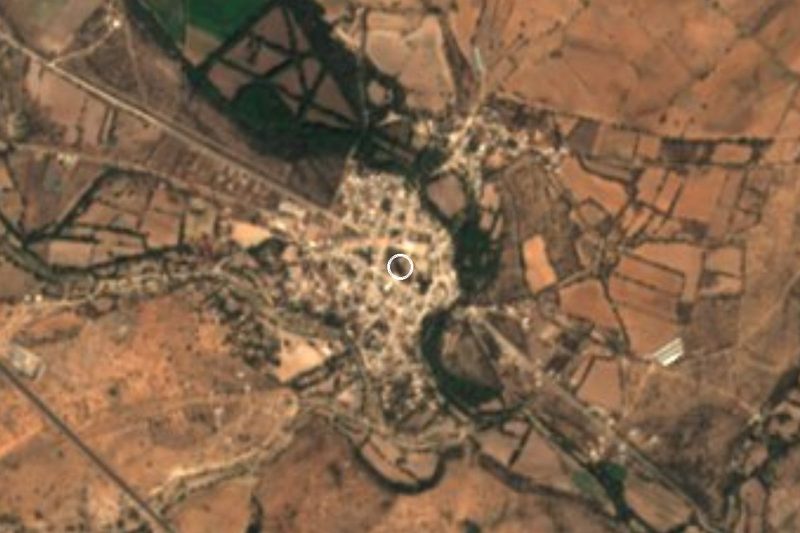
Near Ojuelos de Jalisco

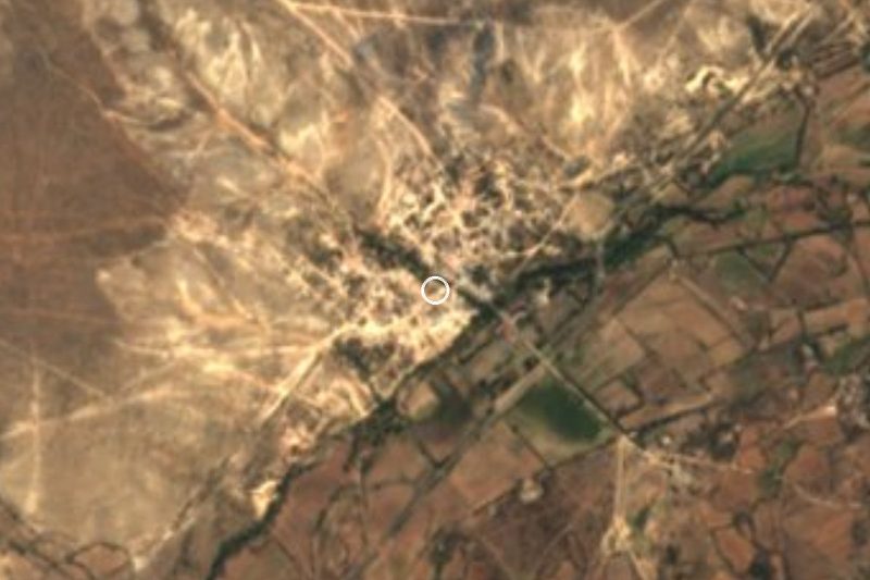



Drive times by road from OpenStreetMap, without traffic. Times marked ~ are estimated from the straight-line distance.
Location from OpenStreetMap. Written by Puebloteca.