

Village Natívitas, Tlaxcala Municipality of Natívitas Volcano Route Monasteries on the slopes of Popocatépetl Puebla Valley
Village of 2,199 people at the foot of the Xochitécatl archaeological zone, with a parish church to Saint Michael the Archangel.
From San Martín Texmelucan: 15 min by car (13 km by road) How to get there ↓
Near here
See everything nearby ↓


Plan your visit to San Miguel Xochitecatitla
Where to stay near San Miguel Xochitecatitla
Compare hotels, posadas and guest houses in San Miguel Xochitecatitla.
Tours to San Miguel Xochitecatitla
Day trips and guided outings from Huejotzingo often include San Miguel Xochitecatitla; with a local guide you can get there without a car.
 Tours from Puebla City
Africam Safari Zoo Admission with Transportation
★ 4.8 (87) · From US$35
How to get to San Miguel Xochitecatitla
- From San Martín Texmelucan: about 15 min by road (~13 km)
- Nearest airport: Puebla (PBC), 7 min by car to Huejotzingo
Links open a partner site. We may earn a commission if you book, at no cost to you.
Tours from Puebla City, near San Miguel Xochitecatitla


Tours, prices and ratings from Viator, checked weekly. We may earn a commission if you book.
About San Miguel Xochitecatitla
San Miguel Xochitecatitla sits at 2,204 metres above sea level in the municipality of Natívitas, in south-western Tlaxcala. With 2,199 residents at the 2020 census it is the fifth-largest locality in the municipality; it had 587 in 1900, 1,793 in 1990 and 2,124 in 2010, a steady rise without sharp swings. Its name is Nahuatl and related to Xochitécatl, the neighbouring hill, commonly translated as "people of the flowers". The patron saint is Saint Michael the Archangel, titular of the parish, and the community presidency is chosen by universal, direct, secret ballot, one of seven in the municipality that do it this way.
The Xochitécatl archaeological zone lies about 500 m north of the village, and Cacaxtla is about 1 km from it; both are INAH sites. Xochitécatl keeps the Pyramid of Flowers, the Platform of the Volcanoes, the Serpent Building and the Spiral Building, a stepped circular pyramid with no stairway. That makes the village the natural gateway to both zones, although it keeps its own farming life.
Around it lies a web of small villages: San Rafael Tenanyecac 1.2 km to the northwest, San José Atoyatenco 1.3 km to the west and Santa Elena Teacalco 1.7 km to the east. About 2.5 km to the south is San Miguel del Milagro, whose sanctuary celebrates on 29 September. The climate is temperate highland, with a mean of 16 °C and about 920 mm of rain a year, August being the wettest month.
How to get to San Miguel Xochitecatitla
Drive from San Martín Texmelucan: 15 min, 13 km
San Miguel Xochitecatitla is in south-western Tlaxcala, about 18 km southwest of Tlaxcala city and close to Huejotzingo, Puebla (18 to 20 km southwest, approx. 20 minutes). From Mexico City, INAH says to take federal highway 150 (Mexico-Puebla) to San Martín Texmelucan, Puebla, then the road to Xalmimilulco toward San Miguel Xochitecatitla, where signs point to the Xochitécatl and Cacaxtla archaeological zones. From Puebla, San Pedro Cholula is about 40 km away (approx. 30 minutes). Buses reach Tlaxcala from Puebla in about 50 minutes and from TAPO in about 1 hour 50 minutes; from the Tlaxcala terminal there are no published colectivo routes or schedules to the village, so a taxi or your own car is the practical option.
Directions to San Miguel Xochitecatitla on Google Maps
Distances are in a straight line; the road is usually longer.
Links open a partner site. We may earn a commission if you book, at no cost to you.
From the nearest cities to San Miguel Xochitecatitla
- San Martín Texmelucan · 13 km by road, 15 min
- Chiautempan · 25 km by road, 25 min
- Puebla · 34 km by road, 35 min
Drive times by road from OpenStreetMap, without traffic or stops. Times marked ~ are estimated from the straight-line distance.
Visiting San Miguel Xochitecatitla: what to see and do
The parish church of San Miguel Arcángel in the village centre.
The Xochitécatl archaeological zone, 500 m north: Pyramid of Flowers and Spiral Building.
The Cacaxtla archaeological zone, about 1 km from Xochitécatl.
The sanctuary of San Miguel del Milagro, about 2.5 km south, with a feast on 29 September.
The neighbouring villages of San Rafael Tenanyecac and San José Atoyatenco, a little over 1 km away.
Plan your trip
Places to stay in San Miguel Xochitecatitla
Compare hotels, posadas, and rentals in and around San Miguel Xochitecatitla.
Tours & activities
Day trips and guided outings from Huejotzingo often include San Miguel Xochitecatitla; with a local guide you can get there without a car.
Rental cars
Pick up a car at PBC (Puebla): about 7 min by road to Huejotzingo, then 10 km more to San Miguel Xochitecatitla, on your own schedule.
Flights
The nearest airport with scheduled flights is Puebla (PBC), about 7 min by road from Huejotzingo, the base for San Miguel Xochitecatitla.
Mobile data
Signal can drop away from Huejotzingo: download a map of the way to San Miguel Xochitecatitla before you set out, or carry an eSIM with data.
Links open a partner site. We may earn a commission if you book, at no cost to you.
When to go to San Miguel Xochitecatitla mild
San Miguel Xochitecatitla shares the climate of Huejotzingo, 10 km away. The best months to visit are January, February, March, and November.
See the month-by-month climate of Huejotzingo
Weather in San Miguel Xochitecatitla now and the next 7 days
Live forecast from Open-Meteo. Chance of rain is the day's highest.
The closest Pueblo Mágico: Huejotzingo

Huejotzingo is the Pueblo Mágico closest to San Miguel Xochitecatitla, with places to stay, food, and more to see.
Also close to
Closest to San Miguel Xochitecatitla
-
Xochitécatl · Archaeological site · 1 km away
-
Cacaxtla-Xochitécatl · Archaeological site · 2 km away
-
San Bernabé Capula · Village · 2 km away
-
Santiago Michac · Town · 3 km away
-
Santuario de San Miguel del Milagro · Landmark · 3 km away
-
Santa Ana Xalmimilulco · Village · 4 km away
-
Santo Tomás la Concordia · Town · 4 km away
-
Tepetitla de Lardizábal · Town · 4 km away


Near San Miguel Xochitecatitla


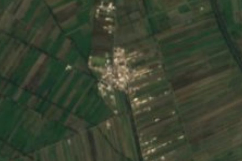


Drive times by road from OpenStreetMap, without traffic. Times marked ~ are estimated from the straight-line distance.
Location from OpenStreetMap. Written by Puebloteca.