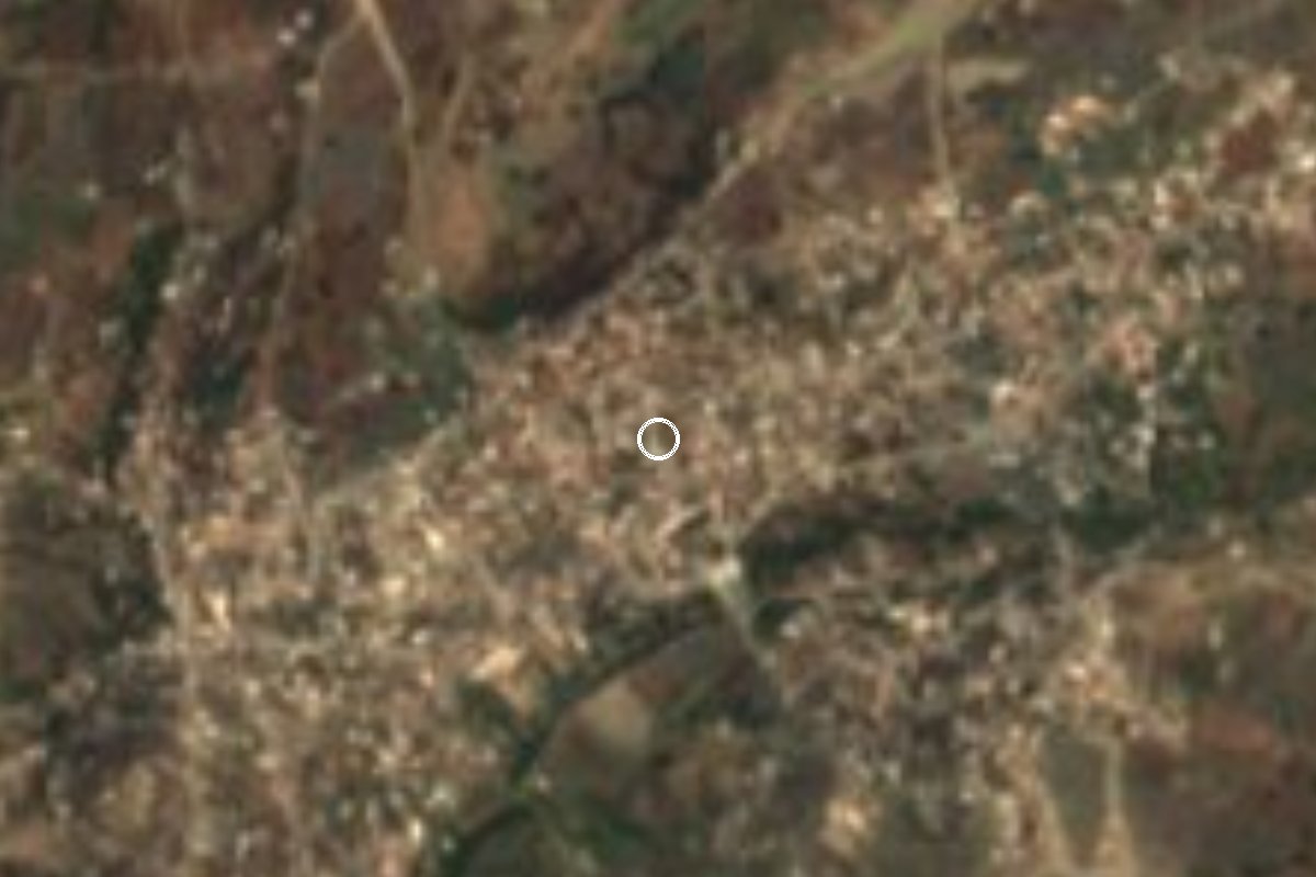
Village Puebla Municipality of Puebla Puebla Valley
A farming junta auxiliar in the far south of Puebla municipality, beyond the Valsequillo reservoir, home to 11,692 people.
From Puebla: 30 min by car (23 km by road) How to get there ↓
Near here
See everything nearby ↓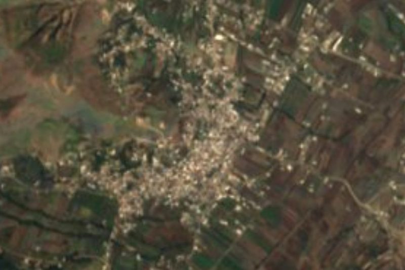


Plan your visit to San Andrés Azumiatla
Where to stay near San Andrés Azumiatla
Compare hotels, posadas and guest houses in San Andrés Azumiatla.
Tours to San Andrés Azumiatla
Day trips and guided outings from Atlixco often include San Andrés Azumiatla; with a local guide you can get there without a car.
How to get to San Andrés Azumiatla
- From Puebla: about 30 min by road (~23 km)
- Nearest airport: Puebla (PBC), 41 min by car to Atlixco
Links open a partner site. We may earn a commission if you book, at no cost to you.
About San Andrés Azumiatla
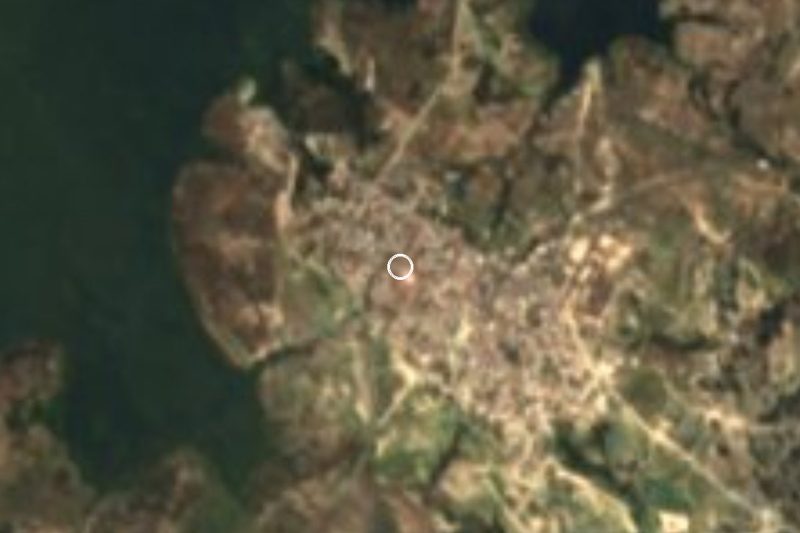
Although it belongs to the state capital's municipality, San Andrés Azumiatla feels a long way from the city. It lies in the south-west of the municipality of Puebla, south of the Valsequillo reservoir and next to the border with Ocoyucan, about 17 km from the centre and 2,142 metres up. As one of the capital's 17 auxiliary boards (juntas auxiliares), it is run by an auxiliary president and four councillors elected by plebiscite every three years.
The village has grown fast. The Enciclopedia de los Municipios put it at about 6,800 people, mostly farmers; the 2020 census counted 11,692 (5,882 men and 5,810 women) in 3,134 homes, across a built-up area of about 4 km². It is also a place of real hardship: a 2010 Coneval report named it the most marginalised part of its electoral district, with 92% of residents lacking health coverage and 63% of homes without piped water.
The heart of the village is the parish church of San Andrés Apóstol, in the archdiocese of Puebla. We found no documented etymology for the name, though azumiatl is the Nahuatl source of azumiate, the southern Mexican name for the shrub also called jara amarilla. A state road south of Valsequillo links it with Los Ángeles Tetela to the east and Santa Clara Ocoyucan to the west. There are no tourist services; it is a place to see the rural side of the Puebla capital.
How to get to San Andrés Azumiatla
Drive from Puebla: 30 min, 23 km
The drive from the historic centre is about 22 km and 30 minutes: head down 11 Sur and continue south on its extension out of the city, then follow the Santa María Malacatepec–Guadalupe Victoria road to Azumiatla. Cholula, a Pueblo Mágico, is linked by roughly 26 km (half an hour) of road via the Periférico Ecológico (MEX-190) and the 11 Sur extension. Eastward, the state road south of Valsequillo continues to Los Ángeles Tetela and the Puebla–Tecali highway. Public transport: none documented, so ask locally in the south of the city.
Directions to San Andrés Azumiatla on Google Maps
Distances are in a straight line; the road is usually longer.
Links open a partner site. We may earn a commission if you book, at no cost to you.
From the nearest cities to San Andrés Azumiatla
- Puebla · 23 km by road, 30 min
- Atlixco · 29 km by road, 35 min
- San Martín Texmelucan · 58 km by road, 50 min
Drive times by road from OpenStreetMap, without traffic or stops. Times marked ~ are estimated from the straight-line distance.
Visiting San Andrés Azumiatla: what to see and do
The parish church of San Andrés Apóstol in the village centre.
Farmland in the south of Puebla municipality.
The state road south of the Valsequillo reservoir, between Los Ángeles Tetela and Santa Clara Ocoyucan.
Plan your trip
Places to stay in San Andrés Azumiatla
Compare hotels, posadas, and rentals in and around San Andrés Azumiatla.
Tours & activities
Day trips and guided outings from Atlixco often include San Andrés Azumiatla; with a local guide you can get there without a car.
Rental cars
Pick up a car at PBC (Puebla): about 41 min by road to Atlixco, then 18 km more to San Andrés Azumiatla, on your own schedule.
Flights
The nearest airport with scheduled flights is Puebla (PBC), about 41 min by road from Atlixco, the base for San Andrés Azumiatla.
Mobile data
Signal can drop away from Atlixco: download a map of the way to San Andrés Azumiatla before you set out, or carry an eSIM with data.
Links open a partner site. We may earn a commission if you book, at no cost to you.
When to go to San Andrés Azumiatla mild
San Andrés Azumiatla shares the climate of Atlixco, 18 km away. The best months to visit are January, February, March, and December.
See the month-by-month climate of Atlixco
Weather in San Andrés Azumiatla now and the next 7 days
Live forecast from Open-Meteo. Chance of rain is the day's highest.
The closest Pueblo Mágico: Atlixco

Atlixco is the Pueblo Mágico closest to San Andrés Azumiatla, with places to stay, food, and more to see.
Also close to
- Cholula · Puebla · 18 km away
- Huejotzingo · Puebla · 33 km away
- Ixtenco · Tlaxcala · 51 km away
- Huamantla · Tlaxcala · 57 km away
- Tlayacapan · Morelos · 77 km away
Closest to San Andrés Azumiatla
-
Santa María Malacatepec · Village · 7 km away
-
Buenavista Tetela · Village · 8 km away
-
Lomas de Angelópolis · Village · 8 km away
-
San Baltazar Tetela · Village · 8 km away
-
Hueyatlaco · Archaeological site · 9 km away
-
Los Ángeles Tetela · Village · 9 km away
-
Santa Clara Ocoyucan · Village · 9 km away
-
Cuenca del Valsequillo · Nature reserve · 11 km away


Near San Andrés Azumiatla
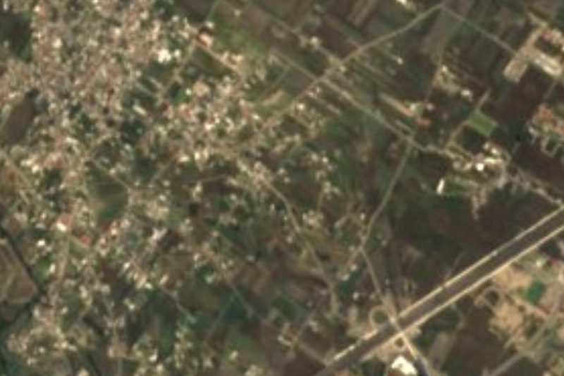


Drive times by road from OpenStreetMap, without traffic. Times marked ~ are estimated from the straight-line distance.
Location from OpenStreetMap. Written by Puebloteca.