Village Municipio de Puebla, Puebla Municipality of Puebla Puebla Valley
"On the shield of grass": a community on the southern edge of Puebla's capital municipality, near Africam Safari and the Valsequillo reservoir.
From Puebla: 20 min by car (16 km by road) How to get there ↓
Near here
See everything nearby ↓



Plan your visit to San Pedro Zacachimalpa
Where to stay near San Pedro Zacachimalpa
Compare hotels, posadas and guest houses in San Pedro Zacachimalpa.
Tours to San Pedro Zacachimalpa
Day trips and guided outings from Cholula often include San Pedro Zacachimalpa; with a local guide you can get there without a car.
How to get to San Pedro Zacachimalpa
- From Puebla: about 20 min by road (~16 km)
- Nearest airport: Puebla (PBC), 16 min by car to Cholula
Links open a partner site. We may earn a commission if you book, at no cost to you.
About San Pedro Zacachimalpa
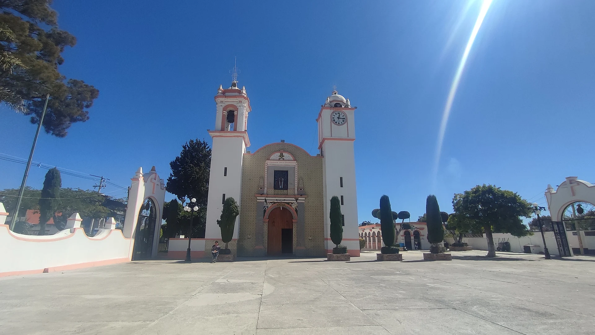
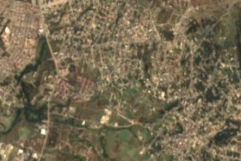
A shield made of grass is the image the name preserves: zacatl (grass), chimalli (shield) and pan (on) give Zacachimalpa, "on the shield of grass", and Saint Peter the Apostle is its patron, honoured in the church shown in the photo. Although it belongs to the municipality of Puebla, it is far from the bustle of the historic centre: it lies about 12 km in a straight line south of the cathedral, at 2,122 metres, and it is officially an urban locality, with 4,712 inhabitants and 1,169 occupied homes in 2020.
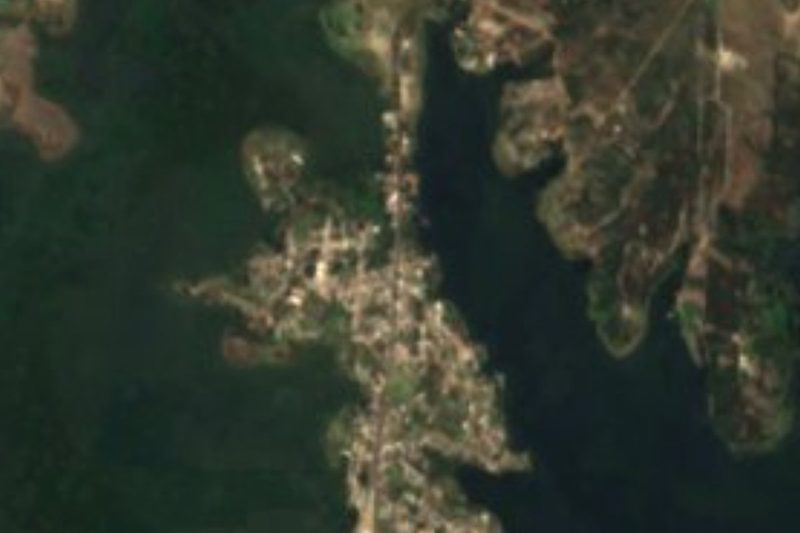
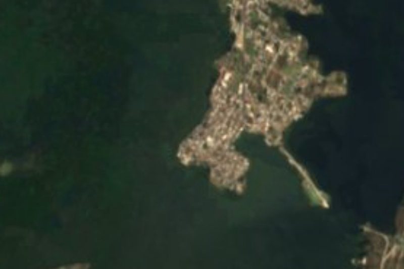
Its surroundings are the rural and semi-urban south of the capital municipality, where city neighbourhoods give way to plots and low hills. Very close, some two kilometres to the north, stands the church of Santo Tomás Chautla, and a short distance away lies Africam Safari, the wildlife park founded in 1972 by Carlos Camacho Espíritu, toured by private car or park buses and located about 17 km from the city. The same part of the municipality holds the Manuel Ávila Camacho reservoir, known as Valsequillo, Puebla's main body of water.
The municipality of Puebla has a temperate, subhumid climate, averaging 10 to 16 °C with 400 to 900 mm of rain depending on the area; over 42% of its surface is now built up, while about a quarter is farmed and the rest is split between grassland and forest. Its main streams are the Atoyac and the Alseseca. From Zacachimalpa, the capital's centre offers Talavera pottery, onyx carvings and a nationally famous kitchen: mole poblano, chiles en nogada, green and red pipián, chalupas, cemitas and tripe mole.
How to get to San Pedro Zacachimalpa
Drive from Puebla: 20 min, 16 km
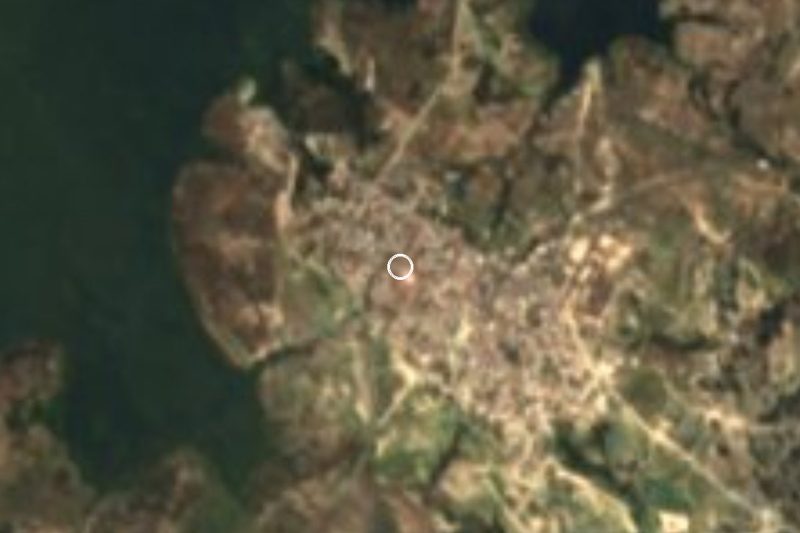
San Pedro Zacachimalpa lies inside the municipality of Puebla, about 12 km in a straight line south of the city centre and 21 km from Cholula. Reach it along Bulevar Capitán Carlos Camacho Espíritu, the road to Africam Safari, then local streets; city and suburban transport runs from the capital.
Directions to San Pedro Zacachimalpa on Google Maps
Distances are in a straight line; the road is usually longer.
Links open a partner site. We may earn a commission if you book, at no cost to you.
From the nearest cities to San Pedro Zacachimalpa
- Puebla · 16 km by road, 20 min
- Atlixco · 40 km by road, 35 min
- Chiautempan · 48 km by road, 50 min
Drive times by road from OpenStreetMap, without traffic or stops. Times marked ~ are estimated from the straight-line distance.
Visiting San Pedro Zacachimalpa: what to see and do
The church of San Pedro Apóstol at the heart of the village.
Africam Safari, the drive-through wildlife park a short distance away.
The Valsequillo reservoir and the church of Santo Tomás Chautla, in the same southern part of the municipality.
Plan your trip
Places to stay in San Pedro Zacachimalpa
Compare hotels, posadas, and rentals in and around San Pedro Zacachimalpa.
Tours & activities
Day trips and guided outings from Cholula often include San Pedro Zacachimalpa; with a local guide you can get there without a car.
Rental cars
Pick up a car at PBC (Puebla): about 16 min by road to Cholula, then 21 km more to San Pedro Zacachimalpa, on your own schedule.
Flights
The nearest airport with scheduled flights is Puebla (PBC), about 16 min by road from Cholula, the base for San Pedro Zacachimalpa.
Mobile data
Signal can drop away from Cholula: download a map of the way to San Pedro Zacachimalpa before you set out, or carry an eSIM with data.
Links open a partner site. We may earn a commission if you book, at no cost to you.
When to go to San Pedro Zacachimalpa mild
San Pedro Zacachimalpa shares the climate of Cholula, 21 km away. The best months to visit are January, February, March, and December.
See the month-by-month climate of Cholula
Weather in San Pedro Zacachimalpa now and the next 7 days
Live forecast from Open-Meteo. Chance of rain is the day's highest.
The closest Pueblo Mágico: Cholula

Cholula is the Pueblo Mágico closest to San Pedro Zacachimalpa, with places to stay, food, and more to see.
Also close to
- Atlixco · Puebla · 29 km away
- Huejotzingo · Puebla · 36 km away
- Ixtenco · Tlaxcala · 41 km away
- Huamantla · Tlaxcala · 48 km away
- Tlaxco · Tlaxcala · 75 km away
Closest to San Pedro Zacachimalpa
-
Cuenca del Valsequillo · Nature reserve · 2 km away
-
Santo Tomás Chautla · Village · 2 km away
-
Africam Safari · Nature reserve · 3 km away
-
Buenavista Tetela · Village · 3 km away
-
Dieciocho de Marzo · Village · 3 km away
-
Hueyatlaco · Archaeological site · 3 km away
-
San Baltazar Tetela · Village · 4 km away
-
Los Ángeles Tetela · Village · 6 km away
Near San Pedro Zacachimalpa


Drive times by road from OpenStreetMap, without traffic. Times marked ~ are estimated from the straight-line distance.
Location from OpenStreetMap. Written by Puebloteca.