Landmark Puebla Municipality of Puebla Puebla Valley
Puebla's largest body of water, a 1946 reservoir south of the city and a Ramsar site since 2012, with migratory birds, boat rides and Africam on its shore.
From Puebla: 25 min by car (23 km by road) How to get there ↓
Near here
See everything nearby ↓



Plan your visit to Presa de Valsequillo
Where to stay near Presa de Valsequillo
Compare hotels, posadas and guest houses in Presa de Valsequillo.
Tours to Presa de Valsequillo
Look for tours of the area around Cholula that stop at Presa de Valsequillo.
 Tours from Puebla City
Africam Safari Zoo Admission with Transportation
★ 4.8 (87) · From US$35
How to get to Presa de Valsequillo
- From Puebla: about 25 min by road (~23 km)
- Nearest airport: Puebla (PBC), 16 min by car to Cholula
Links open a partner site. We may earn a commission if you book, at no cost to you.
Tours from Puebla City, near Presa de Valsequillo


Tours, prices and ratings from Viator, checked weekly. We may earn a commission if you book.
About Presa de Valsequillo
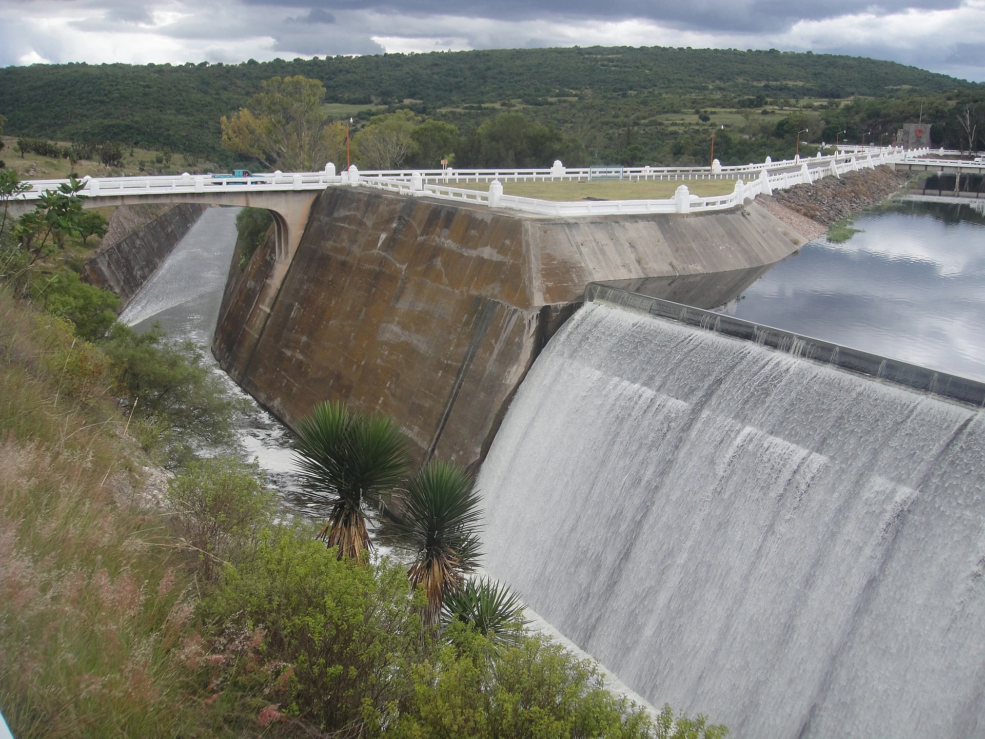
Its official name is Presa Manuel Ávila Camacho, after the Puebla-born president who opened it in 1946, but in Puebla everyone calls it Valsequillo. It is the state's largest body of water, south of the capital where the Atoyac and Alseseca rivers meet. It was built to irrigate more than 33,000 hectares of the Valsequillo irrigation district, toward Tecamachalco and Tehuacán. Several villages and haciendas were flooded when it filled; the San Antonio del Puente hacienda survives as ruins.
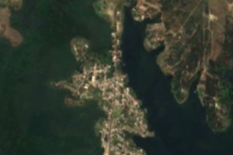
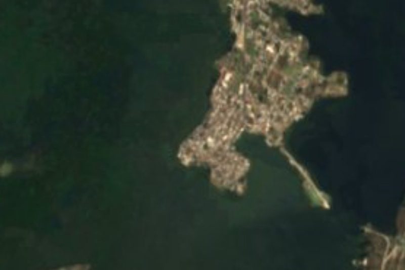
The reservoir has been silting up: from 404.5 million m³ in 1946 its capacity fell to 303 in 1970 and 228 in 1998. A peninsula at San Baltazar Tetela almost splits it in two. Fossils of mammoths, mastodons, American horses and sabre-toothed cats have turned up on its banks, and the Hueyatlaco archaeological site lies here.
On 2 February 2012 the reservoir was listed as a Ramsar wetland, protecting 23,612 hectares. At least 97 migratory bird species use it, with ducks, herons and pelicans arriving from Canada and the US in winter; the chestnut-collared longspur (Calcarius ornatus) has also been recorded. Beside the water are the Valsequillo Wetland State Park and the 64-hectare Bicentenario park of dry scrub.
Pollution is the catch: the Atoyac, Alseseca and Zahuapan carry industrial and urban waste, the water is not drinkable and swimming is forbidden. Between 2008 and 2011 federal and state governments built and enlarged treatment plants to clean it up. Even so, the shore is a weekend outing, with jetties where boats leave for Isla de los Mapaches, kayaks, palapas, horse rides and snack stalls, and Africam Safari right next door.
How to get to Presa de Valsequillo
Drive from Puebla: 25 min, 23 km
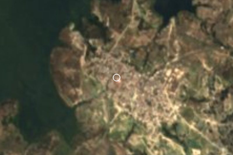
From central Puebla it is about 23 km and 25 min by car: head south on Avenida 24 Sur and Boulevard Valsequillo, which becomes Boulevard Carlos Camacho Espíritu, the road to Africam Safari (16.5 km from the city), and carry on past Santo Tomás Chautla to the shore. From Cholula it is about 33 km and 35 min via the Periférico Ecológico to the same boulevard. San Baltazar Tetela, on the peninsula, is another way down to the water.
Directions to Presa de Valsequillo on Google Maps
Distances are in a straight line; the road is usually longer.
Links open a partner site. We may earn a commission if you book, at no cost to you.
From the nearest cities to Presa de Valsequillo
- Puebla · 23 km by road, 25 min
- Atlixco · 47 km by road, 45 min
- Chiautempan · 56 km by road, 55 min
Drive times by road from OpenStreetMap, without traffic or stops. Times marked ~ are estimated from the straight-line distance.
Before you go to Presa de Valsequillo: hours, prices and tips
- Best season
- Migratory birds from Canada and the US, such as ducks, herons and pelicans, arrive in winter. Food and Pleasure · checked Oct 2026
- Rules
- Swimming in the reservoir and drinking its water are forbidden: it is not safe because of the pollution the rivers carry. Wikipedia · checked Oct 2026
Hours and prices change, especially around holidays. Each fact links to where we checked it.
Visiting Presa de Valsequillo: what to see and do
The dam wall and spillway.
A boat ride to Isla de los Mapaches.
Kayaking at sunrise or sunset in the calm areas.
Winter migratory birds: ducks, herons and pelicans.
The ruins of the San Antonio del Puente hacienda.
Africam Safari, on the shore.
The Hueyatlaco site, known for its stone tools.
Plan your trip
Places to stay in Presa de Valsequillo
Compare hotels, posadas, and rentals in and around Presa de Valsequillo.
Tours & activities
Look for tours of the area around Cholula that stop at Presa de Valsequillo.
Rental cars
Pick up a car at PBC (Puebla): about 16 min by road to Cholula, then 27 km more to Presa de Valsequillo, on your own schedule.
Flights
The nearest airport with scheduled flights is Puebla (PBC), about 16 min by road from Cholula, the base for Presa de Valsequillo.
Mobile data
Signal can drop away from Cholula: download a map of the way to Presa de Valsequillo before you set out, or carry an eSIM with data.
Links open a partner site. We may earn a commission if you book, at no cost to you.
When to go to Presa de Valsequillo mild
Presa de Valsequillo shares the climate of Cholula, 27 km away. The best months to visit are January, February, March, and December.
See the month-by-month climate of Cholula
Weather in Presa de Valsequillo now and the next 7 days
Live forecast from Open-Meteo. Chance of rain is the day's highest.
The closest Pueblo Mágico: Cholula

Cholula is the Pueblo Mágico closest to Presa de Valsequillo, with places to stay, food, and more to see.
Also close to
- Atlixco · Puebla · 34 km away
- Huejotzingo · Puebla · 42 km away
- Ixtenco · Tlaxcala · 42 km away
- Huamantla · Tlaxcala · 49 km away
- Tlaxco · Tlaxcala · 78 km away
Closest to Presa de Valsequillo
-
Africam Safari · Nature reserve · 4 km away
-
Cuenca del Valsequillo · Nature reserve · 4 km away
-
San Pedro Zacachimalpa · Village · 6 km away
-
Buenavista Tetela · Village · 7 km away
-
Hueyatlaco · Archaeological site · 7 km away
-
Los Ángeles Tetela · Village · 7 km away
-
San Baltazar Tetela · Village · 7 km away
-
Santo Tomás Chautla · Village · 7 km away

Near Presa de Valsequillo


Drive times by road from OpenStreetMap, without traffic. Times marked ~ are estimated from the straight-line distance.
Location from OpenStreetMap. Written by Puebloteca.