Village Municipio de Puebla, Puebla Municipality of Puebla Puebla Valley
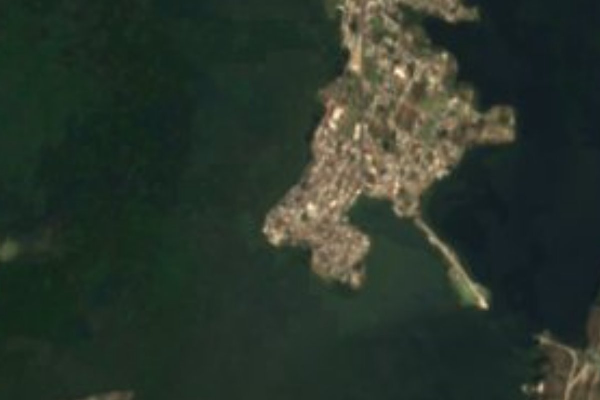
Puebla city district on a peninsula that splits the Valsequillo reservoir in two; its Nahuatl name means "stony ground".
From Puebla: 25 min by car (20 km by road) How to get there ↓
Near here
See everything nearby ↓



Plan your visit to San Baltazar Tetela
Where to stay near San Baltazar Tetela
Compare hotels, posadas and guest houses in San Baltazar Tetela.
Tours to San Baltazar Tetela
Day trips and guided outings from Cholula often include San Baltazar Tetela; with a local guide you can get there without a car.
How to get to San Baltazar Tetela
- From Puebla: about 25 min by road (~20 km)
- Nearest airport: Puebla (PBC), 16 min by car to Cholula
Links open a partner site. We may earn a commission if you book, at no cost to you.
About San Baltazar Tetela
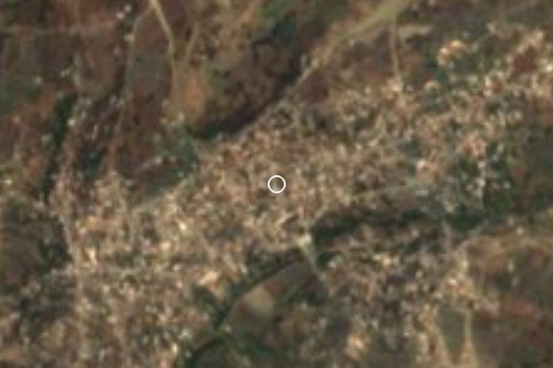
The Valsequillo reservoir is not a single lake. A natural peninsula cuts it into two bodies of water with different circulation and chemistry, and that tongue of land is San Baltazar Tetela. Studies of the reservoir call the passage the San Baltazar Threshold. The village belongs to the municipality of Puebla, about 15 km in a straight line from the city centre in the south of the municipal territory, and INEGI counts it as an urban locality: 4,224 inhabitants in 2020, in 949 occupied homes, at 2,047 metres above sea level. Close by are Buenavista Tetela to the north and Los Ángeles Tetela to the southeast.
Tetela comes from Nahuatl tetetl, plural of tetl, stone, plus tlan, a place where something abounds: "stony ground", the place of many stones. San Baltazar refers to King Balthazar, one of the Three Wise Men, the locality's patron. Politically it is one of the seventeen juntas auxiliares into which the municipality of Puebla is divided besides the seat. Each one elects, by plebiscite on the last Sunday of March, an auxiliary president and four councillors, who govern for three years starting the following 15 April.
The reservoir, officially named Manuel Ávila Camacho, was built where the Atoyac river had carved a canyon known as the Balcón del Diablo, and at 405 million cubic metres it is the largest body of water in the municipality. It also takes in the streams that run down from La Malinche, such as the Alseseca, and works as a settling basin: it slows the water, holds back solids and metals, and water hyacinth acts as a filter. For the same reason it carries the pollution of the Atoyac, Zahuapan and Alseseca, and its water is not drinkable. Around it, at the foot of the Tentzo range, stretch the municipality's largest grasslands, with soils badly eroded by the reservoir and by grazing.
How to get to San Baltazar Tetela
Drive from Puebla: 25 min, 20 km
A state highway leaves the capital to the southeast and links the southern localities of the municipality, such as San Pedro Zacachimalpa and San Baltazar Tetela, with the Valsequillo reservoir; it is the same road that leads to Africam Safari and Tecali. The village lies about 15 km in a straight line from central Puebla and 22 km from Cholula.
Directions to San Baltazar Tetela on Google Maps
Distances are in a straight line; the road is usually longer.
Links open a partner site. We may earn a commission if you book, at no cost to you.
From the nearest cities to San Baltazar Tetela
- Puebla · 20 km by road, 25 min
- Atlixco · 44 km by road, 40 min
- Chiautempan · 52 km by road, 55 min
Drive times by road from OpenStreetMap, without traffic or stops. Times marked ~ are estimated from the straight-line distance.
Visiting San Baltazar Tetela: what to see and do
What defines the place is the water: from the edge of the peninsula you see the reservoir open out on both sides, patched with water hyacinth, and the Tentzo range rises to the south. Avoid touching or drinking the water, which is heavily polluted. Further east on the same road lie the Africam Safari park and Tecali de Herrera, making for a full outing through the south of the municipality.
Plan your trip
Places to stay in San Baltazar Tetela
Compare hotels, posadas, and rentals in and around San Baltazar Tetela.
Tours & activities
Day trips and guided outings from Cholula often include San Baltazar Tetela; with a local guide you can get there without a car.
Rental cars
Pick up a car at PBC (Puebla): about 16 min by road to Cholula, then 22 km more to San Baltazar Tetela, on your own schedule.
Flights
The nearest airport with scheduled flights is Puebla (PBC), about 16 min by road from Cholula, the base for San Baltazar Tetela.
Mobile data
Signal can drop away from Cholula: download a map of the way to San Baltazar Tetela before you set out, or carry an eSIM with data.
Links open a partner site. We may earn a commission if you book, at no cost to you.
When to go to San Baltazar Tetela mild
San Baltazar Tetela shares the climate of Cholula, 22 km away. The best months to visit are January, February, March, and December.
See the month-by-month climate of Cholula
Weather in San Baltazar Tetela now and the next 7 days
Live forecast from Open-Meteo. Chance of rain is the day's highest.
The closest Pueblo Mágico: Cholula

Cholula is the Pueblo Mágico closest to San Baltazar Tetela, with places to stay, food, and more to see.
Also close to
- Atlixco · Puebla · 26 km away
- Huejotzingo · Puebla · 37 km away
- Ixtenco · Tlaxcala · 46 km away
- Huamantla · Tlaxcala · 52 km away
- Tlaxco · Tlaxcala · 79 km away
Closest to San Baltazar Tetela
-
Buenavista Tetela · Village · 1 km away
-
Hueyatlaco · Archaeological site · 1 km away
-
Los Ángeles Tetela · Village · 2 km away
-
Cuenca del Valsequillo · Nature reserve · 3 km away
-
San Pedro Zacachimalpa · Village · 4 km away
-
Africam Safari · Nature reserve · 6 km away
-
Santo Tomás Chautla · Village · 6 km away
-
Dieciocho de Marzo · Village · 7 km away

Near San Baltazar Tetela




Drive times by road from OpenStreetMap, without traffic. Times marked ~ are estimated from the straight-line distance.
Location from OpenStreetMap. Written by Puebloteca.