

Village Municipio de Puebla, Puebla Municipality of Puebla Puebla Valley
Village of the municipality of Puebla, merged with the city north-west of the Valsequillo reservoir, on Boulevard Carlos Camacho.
From Puebla: 20 min by car (14 km by road) How to get there ↓
Near here
See everything nearby ↓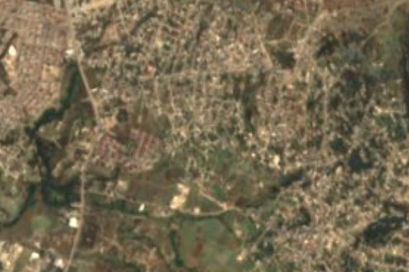




Plan your visit to Santo Tomás Chautla
Where to stay near Santo Tomás Chautla
Compare hotels, posadas and guest houses in Santo Tomás Chautla.
Tours to Santo Tomás Chautla
Day trips and guided outings from Cholula often include Santo Tomás Chautla; with a local guide you can get there without a car.
How to get to Santo Tomás Chautla
- From Puebla: about 20 min by road (~14 km)
- Nearest airport: Puebla (PBC), 16 min by car to Cholula
Links open a partner site. We may earn a commission if you book, at no cost to you.
About Santo Tomás Chautla
Santo Tomás Chautla is a junta auxiliar of the municipality of Puebla, practically merged with the capital, which spreads mainly to its north and north-east. It lies in the centre of the municipality, near the border with Cuautinchán, at about 2,120 m, west of the old town of San Francisco Totimehuacán and north-west of the Valsequillo reservoir.
Its administrative history has been eventful. It belonged to the old municipality of Totimehuacán until 1920; between 1920 and 1930 it was part of Tecali, and from 1930 to 30 October 1962 it was back under Totimehuacán, until that municipality was abolished and merged into Puebla. Since then it has been a junta auxiliar of the capital.
Its main road is the Puebla–Tecali de Herrera highway, known locally as Boulevard Capitán Carlos Camacho Espíritu, linking it with southern Puebla and with Tecali. The building that marks the village is its church of Santo Tomás, the patron. From Chautla it is a short drive to the Valsequillo reservoir and the villages of the Atoyac basin south of Puebla.
How to get to Santo Tomás Chautla
Drive from Puebla: 20 min, 14 km
Santo Tomás Chautla lies south of Puebla city on the Puebla–Tecali de Herrera road (Boulevard Capitán Carlos Camacho Espíritu), about 10 km in a straight line from downtown, roughly 25 to 30 minutes by car depending on traffic.
Directions to Santo Tomás Chautla on Google Maps
Distances are in a straight line; the road is usually longer.
Links open a partner site. We may earn a commission if you book, at no cost to you.
From the nearest cities to Santo Tomás Chautla
- Puebla · 14 km by road, 20 min
- Atlixco · 39 km by road, 35 min
- Chiautempan · 47 km by road, 50 min
Drive times by road from OpenStreetMap, without traffic or stops. Times marked ~ are estimated from the straight-line distance.
Visiting Santo Tomás Chautla: what to see and do
The church of Santo Tomás, the patron.
The Valsequillo reservoir to the south-east.
Pair it with San Francisco Totimehuacán and with Cuautinchán and its convent.
Plan your trip
Places to stay in Santo Tomás Chautla
Compare hotels, posadas, and rentals in and around Santo Tomás Chautla.
Tours & activities
Day trips and guided outings from Cholula often include Santo Tomás Chautla; with a local guide you can get there without a car.
Rental cars
Pick up a car at PBC (Puebla): about 16 min by road to Cholula, then 20 km more to Santo Tomás Chautla, on your own schedule.
Flights
The nearest airport with scheduled flights is Puebla (PBC), about 16 min by road from Cholula, the base for Santo Tomás Chautla.
Mobile data
Signal can drop away from Cholula: download a map of the way to Santo Tomás Chautla before you set out, or carry an eSIM with data.
Links open a partner site. We may earn a commission if you book, at no cost to you.
When to go to Santo Tomás Chautla mild
Santo Tomás Chautla shares the climate of Cholula, 20 km away. The best months to visit are January, February, March, and December.
See the month-by-month climate of Cholula
Weather in Santo Tomás Chautla now and the next 7 days
Live forecast from Open-Meteo. Chance of rain is the day's highest.
The closest Pueblo Mágico: Cholula

Cholula is the Pueblo Mágico closest to Santo Tomás Chautla, with places to stay, food, and more to see.
Also close to
- Atlixco · Puebla · 29 km away
- Huejotzingo · Puebla · 34 km away
- Ixtenco · Tlaxcala · 40 km away
- Huamantla · Tlaxcala · 46 km away
- Tlaxco · Tlaxcala · 73 km away
Closest to Santo Tomás Chautla
-
Dieciocho de Marzo · Village · 1 km away
-
San Pedro Zacachimalpa · Village · 2 km away
-
Africam Safari · Nature reserve · 4 km away
-
Buenavista Tetela · Village · 5 km away
-
Cuenca del Valsequillo · Nature reserve · 5 km away
-
Hueyatlaco · Archaeological site · 5 km away
-
San Baltazar Tetela · Village · 6 km away
-
Presa de Valsequillo · Landmark · 7 km away
Near Santo Tomás Chautla


Drive times by road from OpenStreetMap, without traffic. Times marked ~ are estimated from the straight-line distance.
Location from OpenStreetMap. Written by Puebloteca.