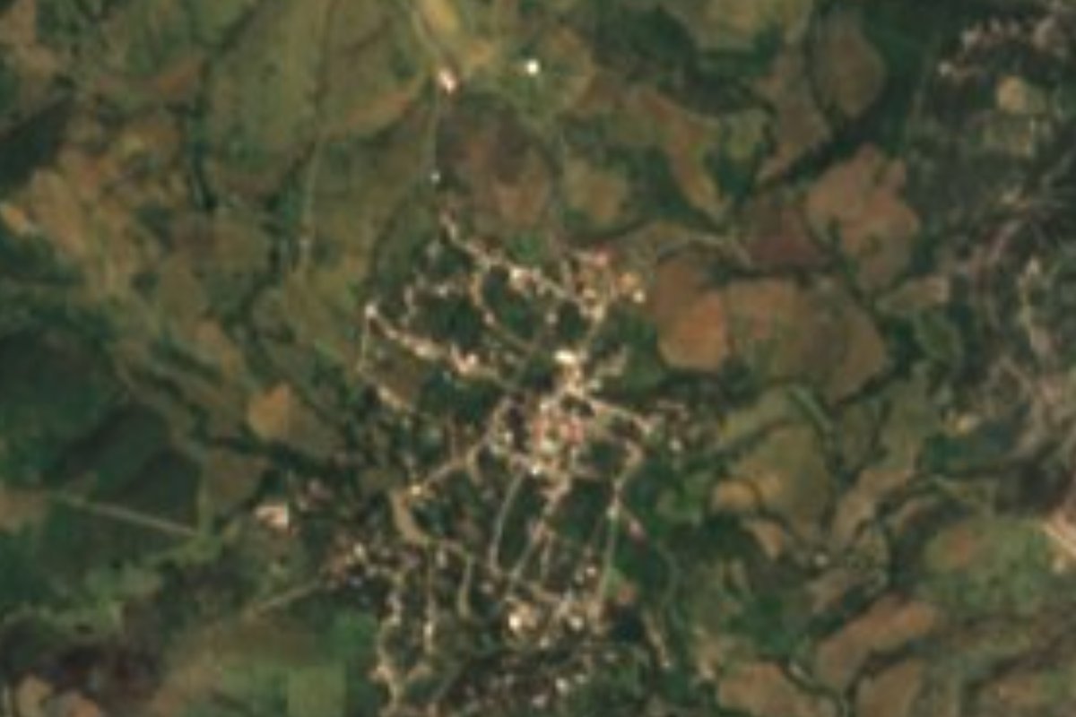
Village Ahuatlán, Puebla Mixteca Poblana
Village in the eastern Matamoros valley, "place of oaks", with a 16th-century Augustinian church of San Andrés and a fiesta on 30 November.
From Atlixco: 1 h 10 min by car (57 km by road) How to get there ↓
Near here
See everything nearby ↓
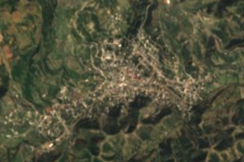
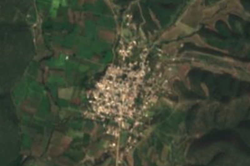

Plan your visit to Ahuatlán
Where to stay near Ahuatlán
Compare hotels, posadas and guest houses in Ahuatlán.
Tours to Ahuatlán
Day trips and guided outings from Atlixco often include Ahuatlán; with a local guide you can get there without a car.
 Tours from Atlixco
Atlixco Volcano Views Popocatépetl Tour Forest Route
From US$108
How to get to Ahuatlán
- From Atlixco: about 1 h 10 min by road (~57 km)
- Nearest airport: Puebla (PBC), 41 min by car to Atlixco
Links open a partner site. We may earn a commission if you book, at no cost to you.
Tours from Atlixco, near Ahuatlán
Tours, prices and ratings from Viator, checked weekly. We may earn a commission if you book.
About Ahuatlán
Ahuatlán heads a municipality bearing its own name in Puebla's south-west, roughly 100 km by road from the state capital. Its Nahuatl name pairs ahuatl, oak, with tlan, place, meaning "place where oaks abound". Sitting at around 1,280 m, the village counted 1,092 residents in 2020. Until 1895 it was part of the Matamoros district; that year it gained free-municipality status.
Covering some 194 km², the municipality occupies the eastern tip of the Matamoros valley, the meeting point of the Puebla plateau, the Atlixco valley and the Sierra de Acatlán. The Atoyac River runs through it, and dry tropical forest blankets most of the land. Fields yield maize, beans and peanuts, while households keep cattle, pigs, goats, rabbits and poultry. Neighbouring municipalities are Teopantlán, Tehuitzingo, Coatzingo, Zacapala and Izúcar de Matamoros.
Augustinian friars raised its chief monument, the church of San Andrés, in the 16th century. Saint Andrew is honoured with the main fiesta every 30 November. In local kitchens you'll find tamales, pipián, mole poblano and criollo bread; jamoncillo is the signature sweet and mezcal the customary drink.
How to get to Ahuatlán
Drive from Atlixco: 1 h 10 min, 57 km
The drive from Puebla city covers about 100 km and takes roughly an hour and three quarters; the village sits beside Izúcar de Matamoros in the state's south-west. Atlixco, a Pueblo Mágico, lies some 42 km off as the crow flies.
Directions to Ahuatlán on Google Maps
Distances are in a straight line; the road is usually longer.
Links open a partner site. We may earn a commission if you book, at no cost to you.
From the nearest cities to Ahuatlán
- Atlixco · 57 km by road, 1 h 10 min
- Puebla · 89 km by road, 1 h 35 min
- Cuautla · 101 km by road, 1 h 40 min
Drive times by road from OpenStreetMap, without traffic or stops. Times marked ~ are estimated from the straight-line distance.
Before you go to Ahuatlán: hours, prices and tips
- Best season
- The Saint Andrew festival is on 30 November. Wikipedia · checked Oct 2026
Hours and prices change, especially around holidays. Each fact links to where we checked it.
Visiting Ahuatlán: what to see and do
San Andrés, the Augustinian church from the 1500s.
The 30 November fiesta of Saint Andrew.
The Atoyac River and the dry forest around it.
Jamoncillo sweets and local mezcal.
Plan your trip
Places to stay in Ahuatlán
Compare hotels, posadas, and rentals in and around Ahuatlán.
Tours & activities
Day trips and guided outings from Atlixco often include Ahuatlán; with a local guide you can get there without a car.
Rental cars
Pick up a car at PBC (Puebla): about 41 min by road to Atlixco, then 42 km more to Ahuatlán, on your own schedule.
Flights
The nearest airport with scheduled flights is Puebla (PBC), about 41 min by road from Atlixco, the base for Ahuatlán.
Mobile data
Signal can drop away from Atlixco: download a map of the way to Ahuatlán before you set out, or carry an eSIM with data.
Links open a partner site. We may earn a commission if you book, at no cost to you.
When to go to Ahuatlán mild
Ahuatlán shares the climate of Atlixco, 42 km away. The best months to visit are January, February, March, and December.
See the month-by-month climate of Atlixco
Weather in Ahuatlán now and the next 7 days
Live forecast from Open-Meteo. Chance of rain is the day's highest.
The closest Pueblo Mágico: Atlixco

Atlixco is the Pueblo Mágico closest to Ahuatlán, with places to stay, food, and more to see.
Also close to
- Cholula · Puebla · 54 km away
- Huejotzingo · Puebla · 67 km away
Closest to Ahuatlán
-
Coatzingo · Village · 10 km away
-
Altavista · Village · 11 km away
-
San Martín Totoltepec · Village · 13 km away
-
Teopantlán · Village · 15 km away
-
Ayotla · Village · 16 km away
-
San Juan Raboso · Village · 19 km away
-
Zacapala · Village · 20 km away
-
Chigmecatitlán · Village · 21 km away

Near Ahuatlán


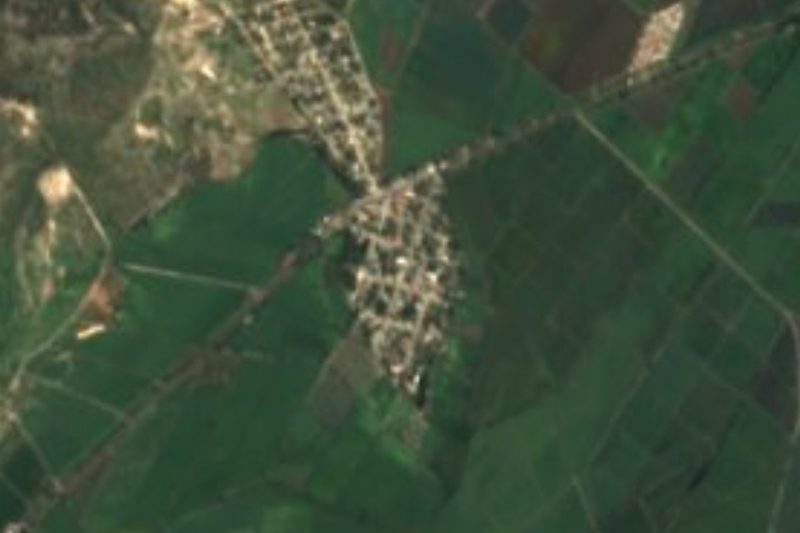



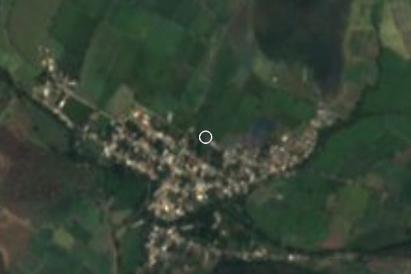
Drive times by road from OpenStreetMap, without traffic. Times marked ~ are estimated from the straight-line distance.
Location from OpenStreetMap. Written by Puebloteca.