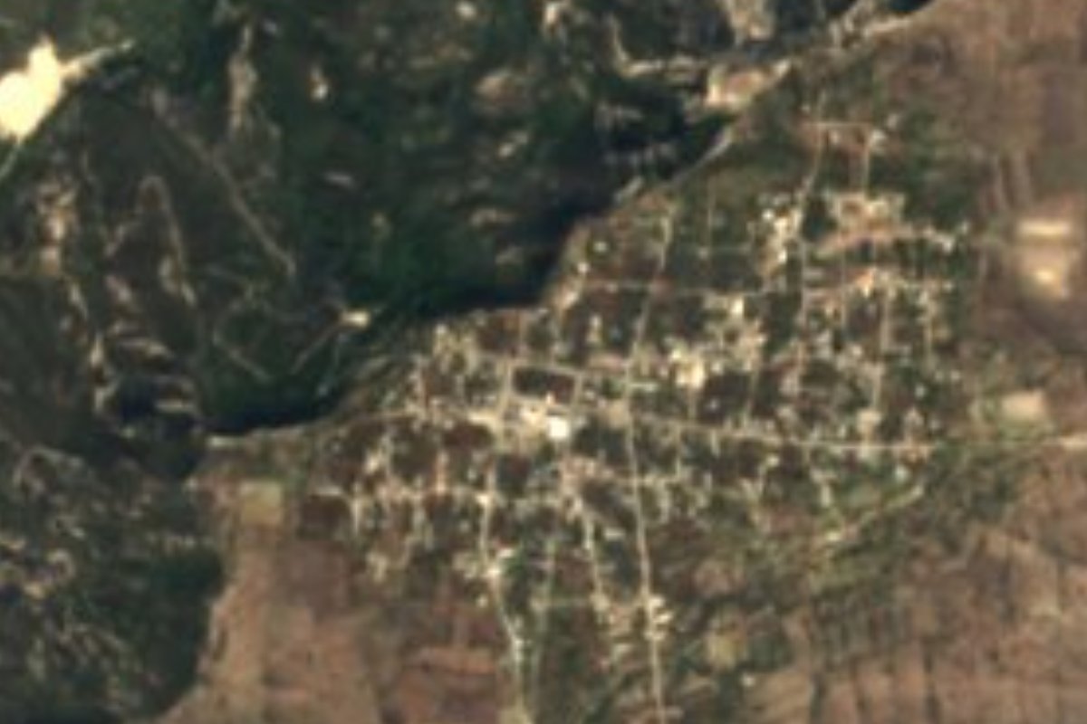
Village Chigmecatitlán, Puebla Mixteca Poblana
Mixtec town on a mesa above the Atoyac where some 50 families weave tiny palm figures, some barely an inch tall.
From Atlixco: 1 h 45 min by car (89 km by road) How to get there ↓
Near here
See everything nearby ↓



Plan your visit to Chigmecatitlán
Where to stay near Chigmecatitlán
Compare hotels, posadas and guest houses in Chigmecatitlán.
Tours to Chigmecatitlán
Day trips and guided outings from Atlixco often include Chigmecatitlán; with a local guide you can get there without a car.
 Tours from Puebla City
Africam Safari Zoo Admission with Transportation
★ 4.8 (87) · From US$35
How to get to Chigmecatitlán
- From Atlixco: about 1 h 45 min by road (~89 km)
- Nearest airport: Puebla (PBC), 41 min by car to Atlixco
Links open a partner site. We may earn a commission if you book, at no cost to you.
Tours from Puebla City, near Chigmecatitlán


Tours, prices and ratings from Viator, checked weekly. We may earn a commission if you book.
About Chigmecatitlán
A palm angel just over an inch tall is woven here in under an hour; a 12-centimetre Catrina takes about nine, and a nativity scene of a couple of dozen pieces can take twenty days. Chigmecatitlán's miniatures began in the mid-1960s, when the Gallardo Osorio family started shrinking palm weaving to a tiny scale, and today some fifty families, nearly all related, make them, each in its own style; there are at least two hundred kinds of rattle alone. Palm is cut in March or April and again at the end of the year, when it barely rains, and to save time some weavers use plastic raffia. You buy straight from the home workshops, and bargaining is expected.
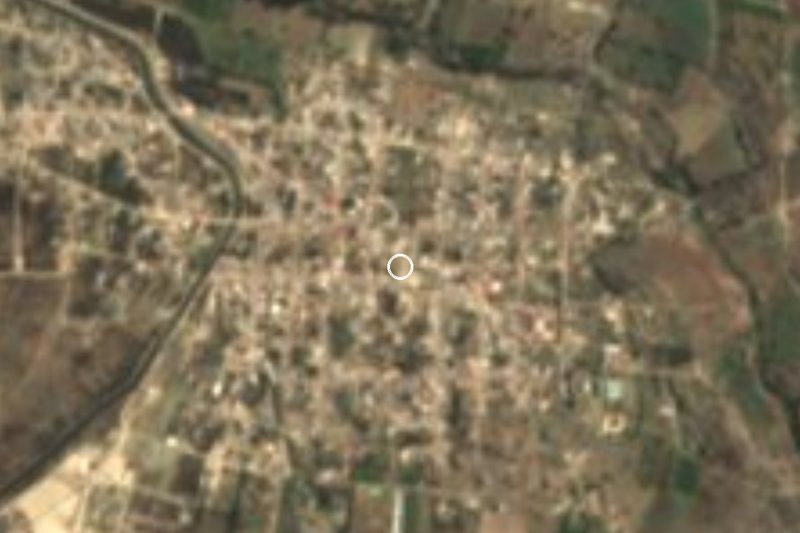
The town, seat of a municipality of only 28 km², one of the smallest in the state, sits at 1,527 metres on the Mesa de Santa Catarina. Below it to the north, the Atoyac River marks the boundary and runs through a canyon that drops from 1,400 to under 1,200 metres, separating the Tepexi plains from the Atlixco valley. The climate is warm to semi-warm, averaging 20 to 24 °C, with 600 to 1,000 mm of summer rain; nearly two thirds of the land is farmed and about 28% remains low tropical forest. In 2020 the town had 1,215 residents, and Mixtec is spoken in the municipality, along with some Nahuatl and Zapotec.
The name, Nahuatl in origin, translates as "dog among the vines", though the town is mostly Mixtec and probably of pre-Hispanic origin. Its church went up in the 16th century as a chapel dependent on Zacapala, and in 1776 it became a parish of its own. In 1837 it was raised from village to municipality within the Tepexi district, and in 1921 it became Puebla's municipality number 56. Every 8 December the town's founding is celebrated by hanging a canvas of the Virgin of Guadalupe in a mesquite tree. Food includes mole poblano, pipián and tamales, with guava and tejocote preserves, ate, mezcal, chocolate and atole; besides palm, toys and traditional dolls are made.
How to get to Chigmecatitlán
Drive from Atlixco: 1 h 45 min, 89 km
Chigmecatitlán is about 46 km in a straight line south of Puebla city and 47 km from Atlixco, toward Tepexi, with Huatlatlauca to the north and Zacapala to the east. By road it is roughly two hours from the capital. We found no bus line with a published timetable reaching the town from the CAPU; go by car or ask about local transport in Tepexi or at the town hall.
Directions to Chigmecatitlán on Google Maps
Distances are in a straight line; the road is usually longer.
Links open a partner site. We may earn a commission if you book, at no cost to you.
From the nearest cities to Chigmecatitlán
- Atlixco · 89 km by road, 1 h 45 min
- Puebla · 95 km by road, 1 h 45 min
- Huamantla · 124 km by road, 2 h
Drive times by road from OpenStreetMap, without traffic or stops. Times marked ~ are estimated from the straight-line distance.
Visiting Chigmecatitlán: what to see and do
Family workshops of palm miniatures: angels, Catrinas, nativity scenes and rattles.
The view from the mesa down to the Atoyac canyon.
The 16th-century church and the 8 December festival.
Plan your trip
Places to stay in Chigmecatitlán
Compare hotels, posadas, and rentals in and around Chigmecatitlán.
Tours & activities
Day trips and guided outings from Atlixco often include Chigmecatitlán; with a local guide you can get there without a car.
Rental cars
Pick up a car at PBC (Puebla): about 41 min by road to Atlixco, then 47 km more to Chigmecatitlán, on your own schedule.
Flights
The nearest airport with scheduled flights is Puebla (PBC), about 41 min by road from Atlixco, the base for Chigmecatitlán.
Mobile data
Signal can drop away from Atlixco: download a map of the way to Chigmecatitlán before you set out, or carry an eSIM with data.
Links open a partner site. We may earn a commission if you book, at no cost to you.
When to go to Chigmecatitlán mild
Chigmecatitlán shares the climate of Atlixco, 47 km away. The best months to visit are January, February, March, and December.
See the month-by-month climate of Atlixco
Weather in Chigmecatitlán now and the next 7 days
Live forecast from Open-Meteo. Chance of rain is the day's highest.
The closest Pueblo Mágico: Atlixco

Atlixco is the Pueblo Mágico closest to Chigmecatitlán, with places to stay, food, and more to see.
Also close to
- Cholula · Puebla · 52 km away
- Huejotzingo · Puebla · 67 km away
- Ixtenco · Tlaxcala · 69 km away
- Huamantla · Tlaxcala · 76 km away
Closest to Chigmecatitlán
-
Huatlatlauca · Village · 4 km away
-
Zacapala · Village · 6 km away
-
Coatzingo · Village · 11 km away
-
La Magdalena Tlatlauquitepec · Village · 13 km away
-
Cascada de Los Pescaditos · Waterfall · 16 km away
-
Tepexi de Rodríguez · Town · 17 km away
-
Cascadas de Ahuehuetla · Waterfall · 19 km away
-
Molcaxac · Village · 20 km away

Near Chigmecatitlán

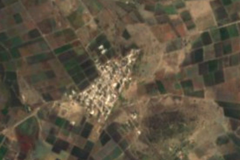
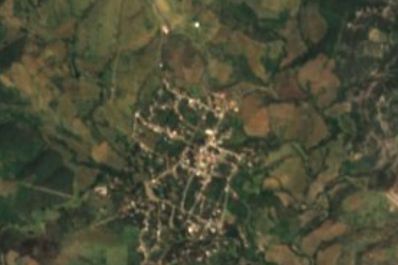


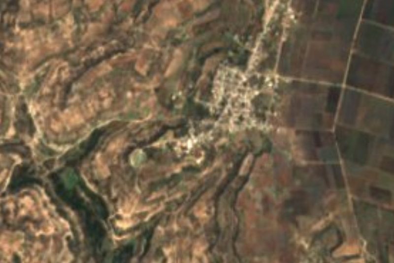

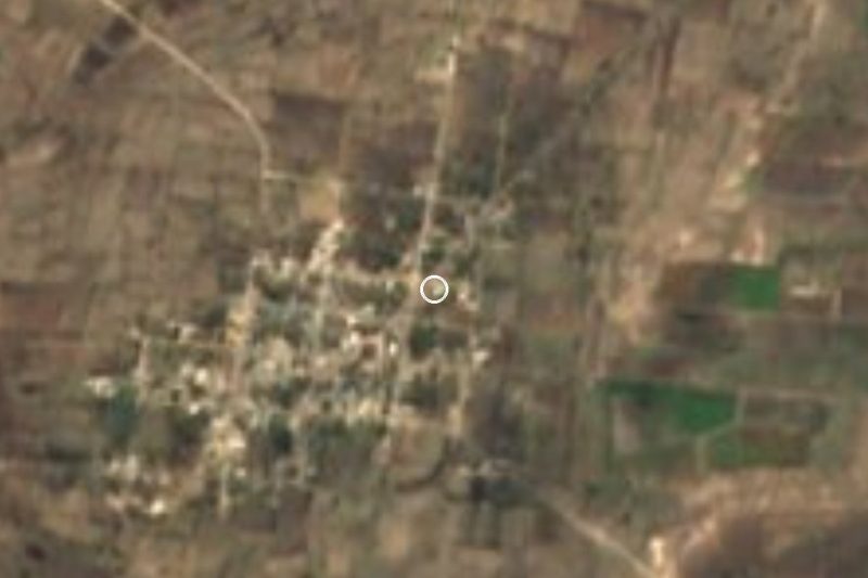
Drive times by road from OpenStreetMap, without traffic. Times marked ~ are estimated from the straight-line distance.
Location from OpenStreetMap. Written by Puebloteca.